Hodson Plantation

Wood, Forest in Lancashire Chorley

England

Hodson Plantation

Line to Bolton
Line to Bolton Credit: N Chadwick

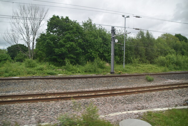
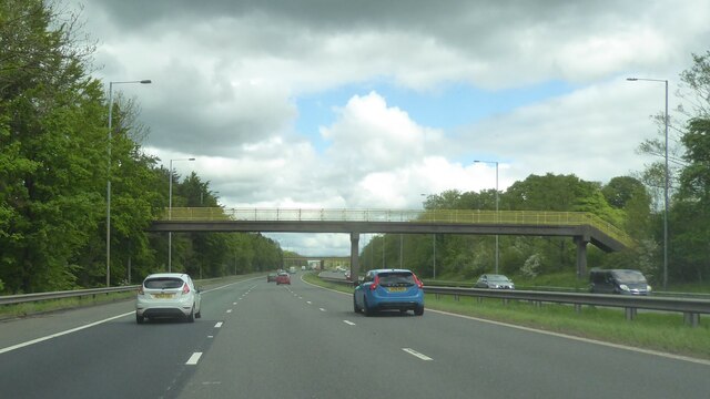
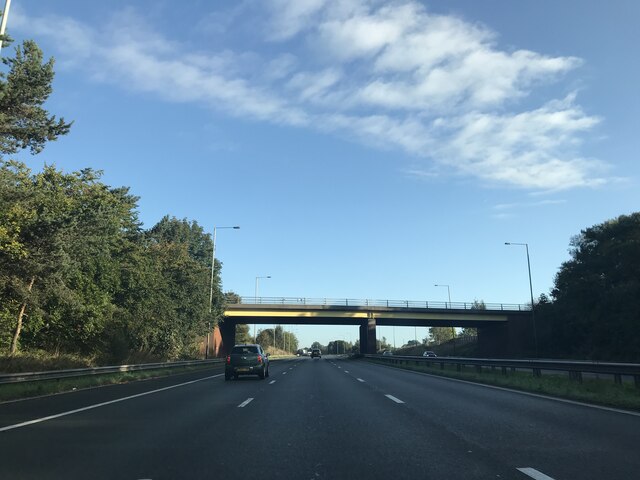
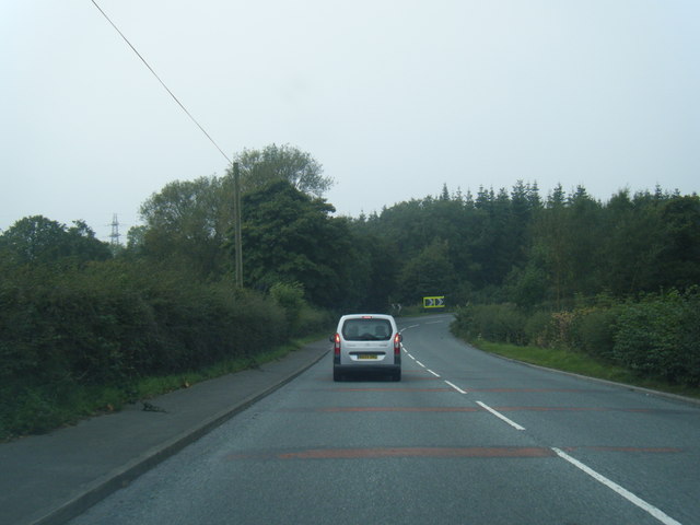
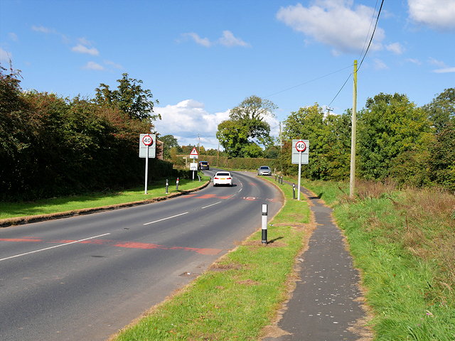
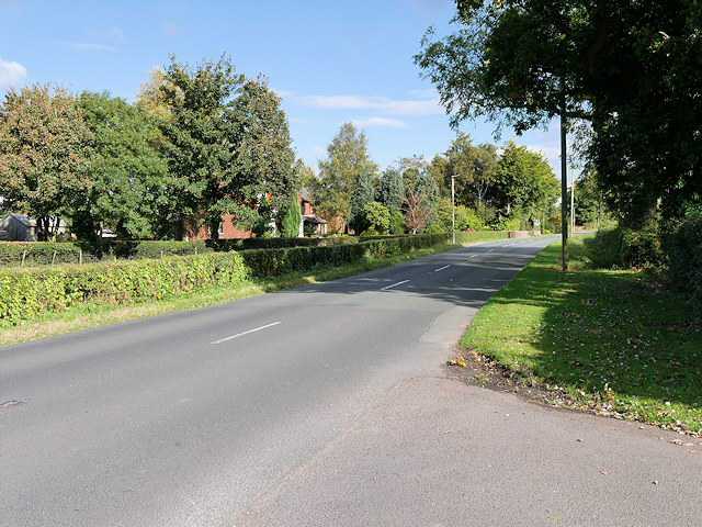
Hodson Plantation is a vast wood and forest area located in Lancashire, England. Covering a significant expanse of land, it is a remarkable natural asset to the region. The plantation is known for its dense and diverse vegetation, making it a haven for various flora and fauna.

The woodlands of Hodson Plantation are characterized by their enchanting beauty and serene atmosphere. Towering trees, such as oak, beech, and birch, dominate the landscape, providing a rich habitat for a wide array of wildlife. The forest floor is covered with a lush carpet of ferns, mosses, and wildflowers, further enhancing its aesthetic appeal.

The plantation is also home to numerous animal species, making it an important ecological site. A variety of birds, including woodpeckers, owls, and songbirds, can be spotted among the treetops. Squirrels and rabbits are often seen scurrying through the undergrowth, while deer occasionally make their appearances, adding a touch of grace to the woodland scenery.

Hodson Plantation offers a range of recreational activities for nature enthusiasts. Visitors can explore the extensive network of walking trails, allowing them to immerse themselves in the tranquility of the woods. The plantation also provides opportunities for birdwatching, photography, and picnicking, making it an ideal destination for a day trip or a weekend getaway.

The plantation is managed by the local authorities, who ensure the preservation of its natural beauty and protect its delicate ecosystem. Through responsible management, Hodson Plantation continues to thrive, attracting nature lovers and providing a vital habitat for wildlife in Lancashire.

If you have any feedback on the listing, please let us know in the comments section below.

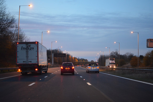
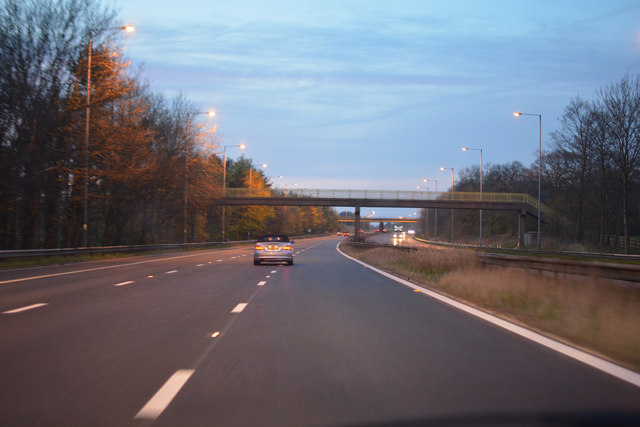
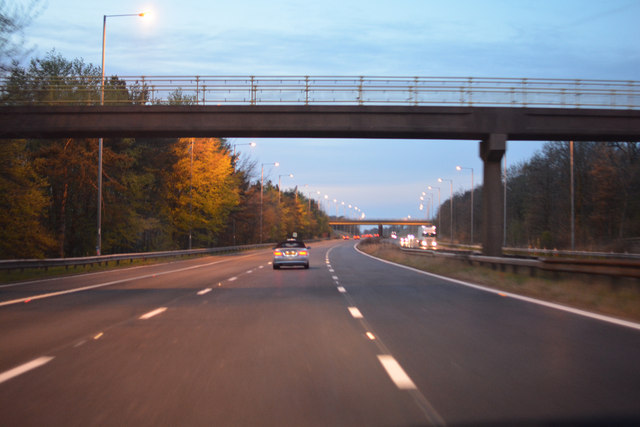
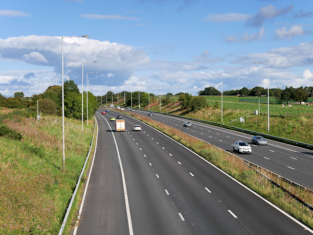
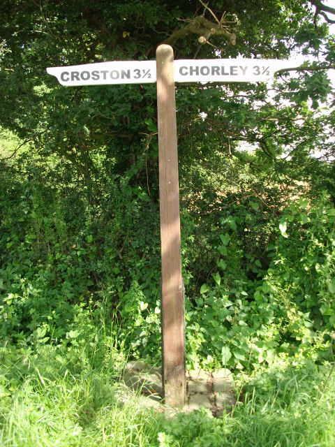
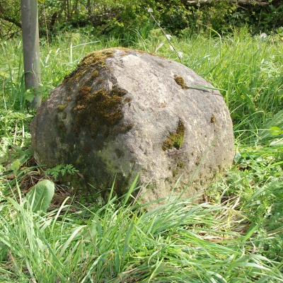
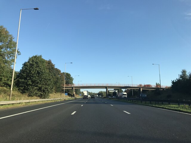
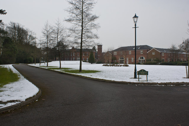
Hodson Plantation Images

Images are sourced within 2km of 53.675921/-2.7046801 or Grid Reference SD5320. Thanks to Geograph Open Source API. All images are credited.

Line to Bolton
Line to Bolton
Footbridge over M6
Footbridge over M6
Runshaw Lane - northbound M6
A581 Dawber's Lane east of Shaw Green
Metropolitan Borough of Chorley : The M6 Motorway Heading north through the Borough of Chorley on the M6 Motorway.
Metropolitan Borough of Chorley : The M6 Motorway
Heading north through the Borough of Chorley on the M6 Motorway.
Metropolitan Borough of Chorley : The M6 Motorway Heading north through the Borough of Chorley on the M6 Motorway.
Metropolitan Borough of Chorley : The M6 Motorway
Heading north through the Borough of Chorley on the M6 Motorway.
Metropolitan Borough of Chorley : The M6 Motorway Heading underneath a footbridge over the M6 Motorway.
Metropolitan Borough of Chorley : The M6 Motorway
Heading underneath a footbridge over the M6 Motorway.
M6 Motorway near Euxton Looking northwards from the bridge at Runshaw Lane.
M6 Motorway near Euxton
Looking northwards from the bridge at Runshaw Lane.
Runshaw Lane near Euxton
Runshaw Lane
Runshaw Lane
The Plough at Euxton Country pub/restaurant near Euxton.
The Plough at Euxton
Country pub/restaurant near Euxton.
Old Milestone by the B5253, Leyland Lane, Leyland Parish Stone post (plate lost) by the B5253, in parish of LEYLAND (SOUTH RIBBLE District), Leyland Lane, South of Brookfold Farm, on East side of road. Preston iron plate, erected by the Penwortham & Wrightington turnpike trust in the 19th century. 

Inscription once read:-
(TO)
(PRESTON)
(7)
(MILES) 
Carved benchmark on front under plate.  

Milestone Society National ID: LA_PSWG07.
Old Milestone by the B5253, Leyland Lane, Leyland Parish
Stone post (plate lost) by the B5253, in parish of LEYLAND (SOUTH RIBBLE District), Leyland Lane, South of Brookfold Farm, on East side of road. Preston iron plate, erected by the Penwortham & Wrightington turnpike trust in the 19th century. Inscription once read:- (TO) (PRESTON) (7) (MILES) Carved benchmark on front under plate. Milestone Society National ID: LA_PSWG07.
Old Direction Sign - Signpost by Runshaw Lane, Croston Parish No finial - 2 arms; Lancashire wood by the UC road, in parish of Croston (Chorley District), Runshaw Lane, junction with Flag Lane.

Surveyed

Milestone Society National ID: LA_SD5319.
Old Direction Sign - Signpost by Runshaw Lane, Croston Parish
No finial - 2 arms; Lancashire wood by the UC road, in parish of Croston (Chorley District), Runshaw Lane, junction with Flag Lane. Surveyed Milestone Society National ID: LA_SD5319.
Old Boundary Marker by the B5253, Hollins Brook Bridge, Leyland Lane Parish Boundary Marker by the B5253, in parish of Eccleston (Chorley District), Leyland Lane, Hollins Brook Bridge, East side of road.

Carved bench mark and pivot on top.

Surveyed

Milestone Society National ID: LA_PSWG07pb
Old Boundary Marker by the B5253, Hollins Brook Bridge, Leyland Lane
Parish Boundary Marker by the B5253, in parish of Eccleston (Chorley District), Leyland Lane, Hollins Brook Bridge, East side of road. Carved bench mark and pivot on top. Surveyed Milestone Society National ID: LA_PSWG07pb
Euxton : M6 Motorway The M6 Motorway between Junction 27 and Junction 28 (Holehouse).
Euxton : M6 Motorway
The M6 Motorway between Junction 27 and Junction 28 (Holehouse).
Footbridge - northbound M6
Field by WCML
Field by WCML
North on the M6 near Nixon Hillock
Show me another place!

Hodson Plantation is located at Grid Ref: SD5320 (Lat: 53.675921, Lng: -2.7046801)

Administrative County: Lancashire

District: Chorley

Police Authority: Lancashire

What 3 Words

///wiped.hardly.fund. Near Euxton, Lancashire

Related Wikis

Runshaw Hall

Runshaw Hall is a grade II listed 19th-century country house in Runshaw Hall Lane, Euxton, Chorley, Lancashire, England, which has been converted into...

Euxton Villa F.C.

Euxton Villa Football Club is a football club based in Euxton, England. They are currently members of the North West Counties League Division One North...

Worden Park

Worden Park is a large area of parkland situated on the outskirts of Leyland, a town in the borough of South Ribble, Lancashire, England. It is less than...

St Mary's Catholic High School, Leyland

St Mary's Catholic High School is a coeducational secondary school located in Leyland in the English county of Lancashire.It is a voluntary aided school...

Occleshaw House

Occleshaw House, also known by its address as 2 Worden Lane, is a Grade II listed building in Leyland, Lancashire. The building has been described as the...

St Andrew's Church, Leyland

St Andrew's Church is an Anglican church in Leyland, Lancashire, England. It is an active Anglican parish church in the Diocese of Blackburn and the archdeaconry...

Leyland, Lancashire

Leyland ( LAY-lənd) is a town in South Ribble, Lancashire, England, 6 miles (10 km) south of Preston. The population was 35,578 at the 2011 Census.The...

Balshaw's Church of England High School

Balshaw's CE High School is a comprehensive Church of England secondary school located on Church Road in Leyland, England. == Location == It is situated...

Nearby Amenities

Located within 500m of 53.675921,-2.7046801
Direction: S
Generator Method: photovoltaic
Generator Output Electricity: yes
Generator Solar Modules: 50
Generator Source: solar
Generator Type: solar_photovoltaic_panel
Location: roof
Power: generator
Lat/Long: 53.6748408/-2.697566
Access: yes
Barrier: stile
Material: wood
Maxwidth: 0.5
Stile: stepover
Vehicle: no
Wheelchair: no
Lat/Long: 53.6787016/-2.7046983
Access: yes
Barrier: stile
Foot: yes
Material: wood
Maxwidth: 0.5
Stile: stepover
Vehicle: no
Wheelchair: no
Lat/Long: 53.6791823/-2.7048693
Barrier: stile
Material: wood
Maxwidth: 0.5
Stile: stepover
Vehicle: no
Wheelchair: no
Lat/Long: 53.679231/-2.7048863
The data included in this document is from www.openstreetmap.org. The data is made available under ODbL.

Have you been to Hodson Plantation?

Leave your review of Hodson Plantation below (or comments, questions and feedback).