Warren Plantation
Wood, Forest in Dorset
England
Warren Plantation
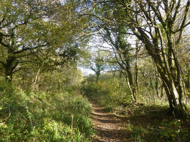
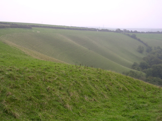
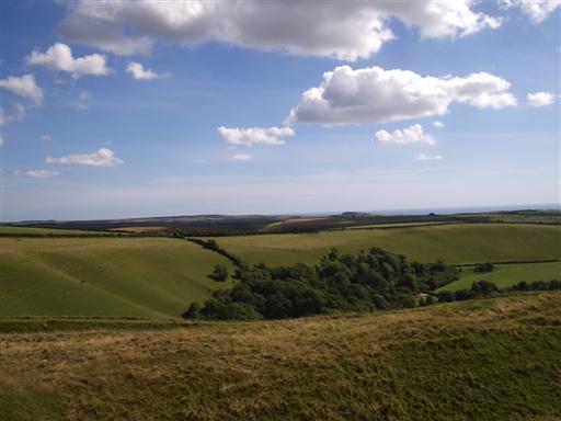
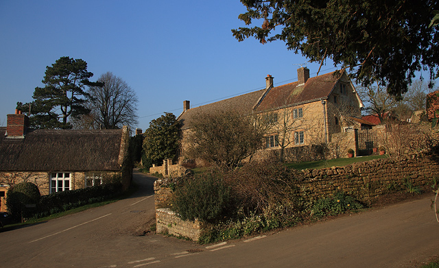
Warren Plantation is a picturesque woodland area located in the county of Dorset, England. Situated in close proximity to the village of Warren, the plantation covers a vast area of approximately 500 acres, making it an ideal destination for nature enthusiasts and those seeking tranquility amidst the beauty of nature.
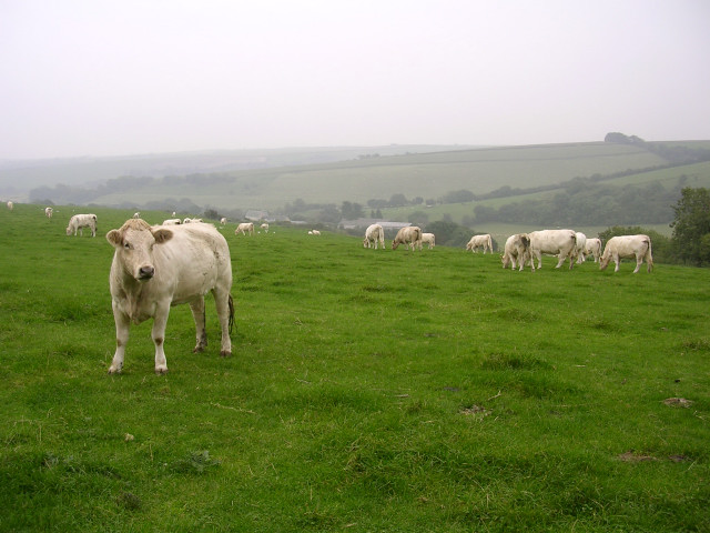
The plantation is home to a diverse range of flora and fauna, with a wide variety of trees such as oak, beech, and pine dominating the landscape. The dense forest provides a natural habitat for numerous animal species, including deer, foxes, badgers, and a plethora of bird species. The rich biodiversity of Warren Plantation makes it a popular spot for birdwatchers and wildlife photographers.
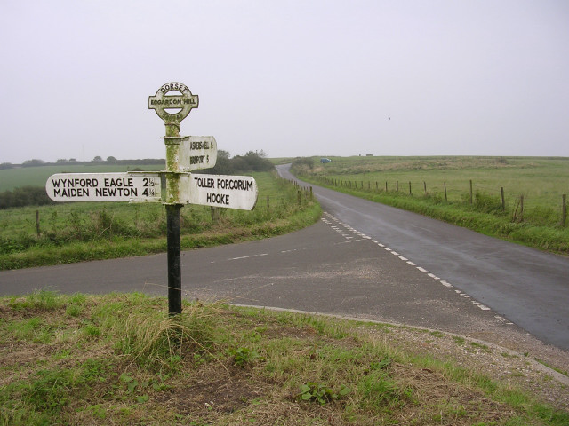
Visitors to Warren Plantation can explore the area by following a network of well-maintained walking trails that wind their way through the woodland. These trails offer breathtaking views of the surrounding countryside and provide opportunities to observe the local wildlife up close. The plantation also offers picnic areas and benches strategically placed along the trails, allowing visitors to take a break and soak in the peaceful atmosphere.
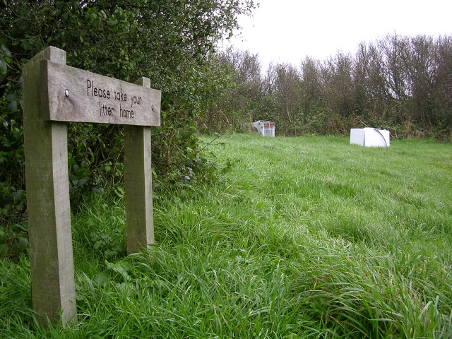
Warren Plantation is managed by the local forestry commission, ensuring the preservation of its natural beauty and the protection of its inhabitants. The commission also organizes educational programs and guided tours to raise awareness about the importance of conservation and sustainable forestry practices.
In conclusion, Warren Plantation in Dorset is a stunning woodland area that showcases the beauty of nature in all its glory. With its diverse range of flora and fauna, well-maintained trails, and peaceful ambiance, it is a must-visit destination for nature lovers and those seeking an escape from the hustle and bustle of everyday life.
If you have any feedback on the listing, please let us know in the comments section below.
Warren Plantation Images
Images are sourced within 2km of 50.751696/-2.6597518 or Grid Reference SY5394. Thanks to Geograph Open Source API. All images are credited.


Warren Plantation is located at Grid Ref: SY5394 (Lat: 50.751696, Lng: -2.6597518)
Unitary Authority: Dorset
Police Authority: Dorset
What 3 Words
///requested.nicely.humid. Near Maiden Newton, Dorset
Nearby Locations
Related Wikis

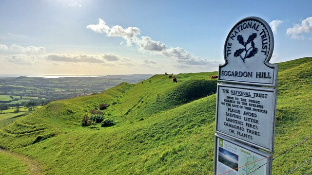
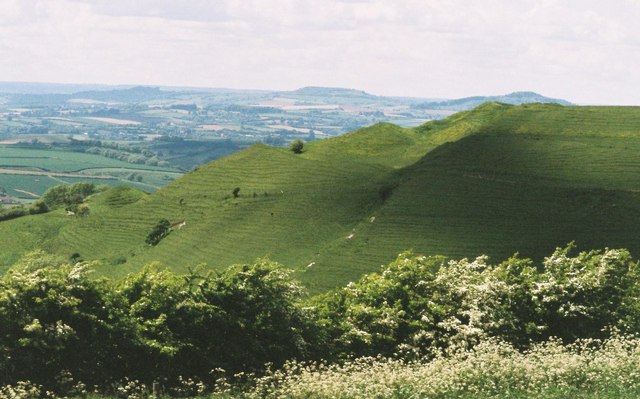
Eggardon Hill
Eggardon Hill is a prehistoric hillfort on a hill in Dorset, England. It is located on chalk uplands approximately four miles to the east of the town of...
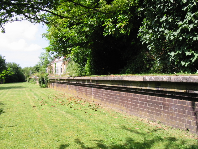
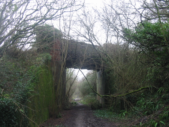
Powerstock railway station
Powerstock was a railway station on the Bridport Railway in the west of the English county of Dorset. The station served the villages of Powerstock, and...

Askerswell
Askerswell () is a small village and civil parish in the county of Dorset in southwest England. It is sited on the small River Asker. It lies 11 miles...
Powerstock
Powerstock is a village and civil parish in south west Dorset, England, situated in a steep valley on the edge of the Dorset Downs, 5 miles (8 km) north...
Nearby Amenities
Located within 500m of 50.751696,-2.6597518Have you been to Warren Plantation?
Leave your review of Warren Plantation below (or comments, questions and feedback).