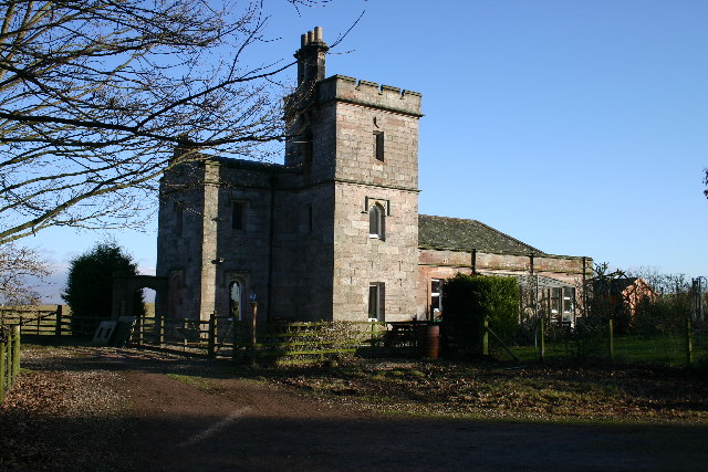
Bracken Hill Wood
Wood, Forest in Westmorland Eden
England
Bracken Hill Wood
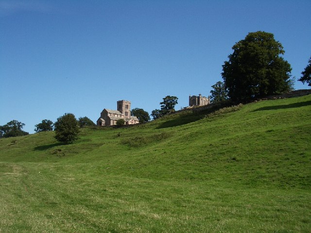
Bracken Hill Wood is a picturesque forest located in the county of Westmorland, England. Covering an area of approximately 200 acres, it is a haven for nature enthusiasts and those seeking tranquility amidst the beauty of the British countryside.
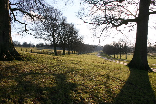
The wood is predominantly composed of native broadleaf trees, such as oak, ash, and beech, which create a dense canopy overhead, providing shade and shelter for a variety of wildlife. The forest floor is adorned with a rich carpet of ferns, bluebells, and wildflowers, adding a splash of colors to the landscape.
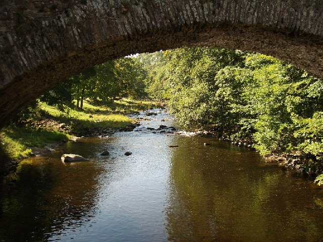
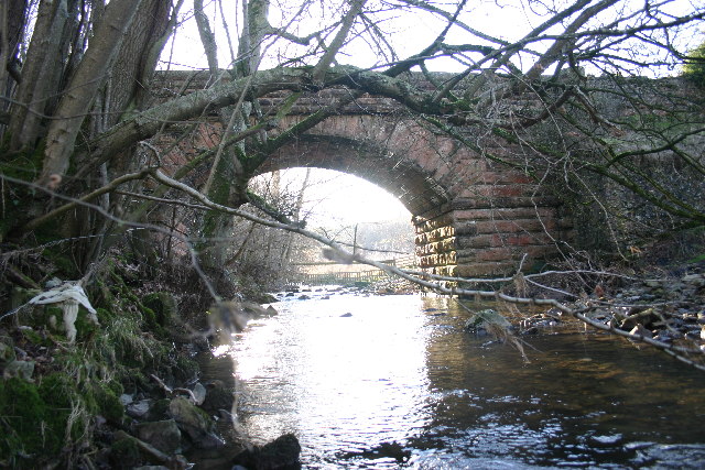
Walking trails meander through the wood, allowing visitors to explore its hidden corners and discover its many delights. The paths are well-maintained and marked, ensuring easy navigation for all levels of walkers. As one wanders deeper into the woods, they may stumble upon a small stream, which meanders through the heart of the forest, creating a soothing soundtrack of running water.
Bracken Hill Wood is home to a diverse array of animals and birds. Deer can often be spotted grazing in the glades, while squirrels playfully leap from branch to branch. The forest resonates with the melodies of songbirds, including the enchanting call of the nightingale during the summer months.
With its idyllic surroundings, Bracken Hill Wood offers an ideal setting for picnics and outdoor activities. The wood is easily accessible, with ample parking available nearby. It provides a welcome escape from the hustle and bustle of urban life, inviting visitors to immerse themselves in the tranquility of nature.
If you have any feedback on the listing, please let us know in the comments section below.
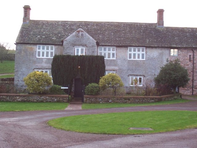
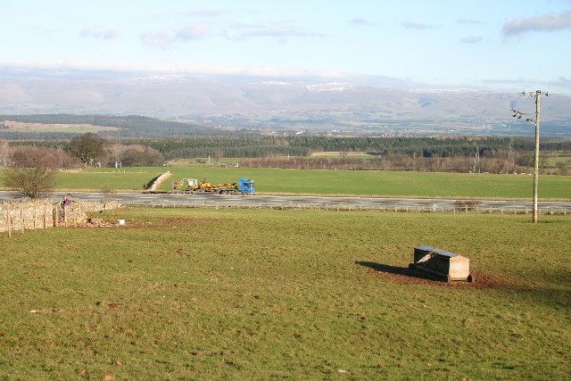
Bracken Hill Wood Images
Images are sourced within 2km of 54.606774/-2.7271563 or Grid Reference NY5323. Thanks to Geograph Open Source API. All images are credited.


Bracken Hill Wood is located at Grid Ref: NY5323 (Lat: 54.606774, Lng: -2.7271563)
Administrative County: Cumbria
District: Eden
Police Authority: Cumbria
What 3 Words
///reports.caravan.ruling. Near Penrith, Cumbria
Nearby Locations
Related Wikis
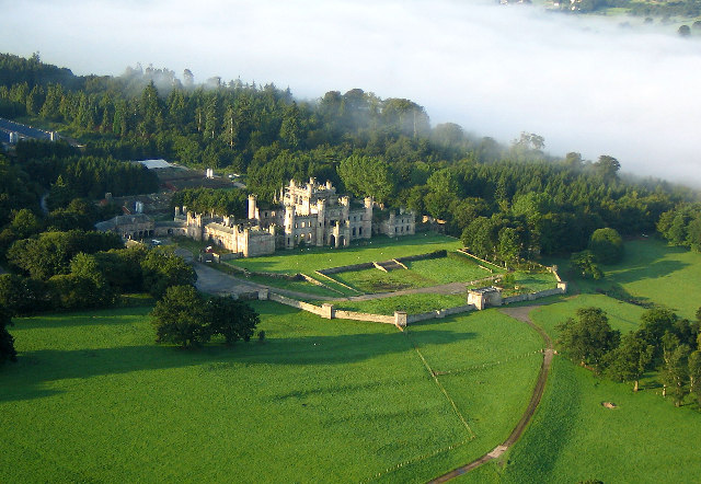
Lowther Castle
Lowther Castle is a country house in the historic county of Westmorland, which now under the current unitary authority of Westmorland and Furness, in the...
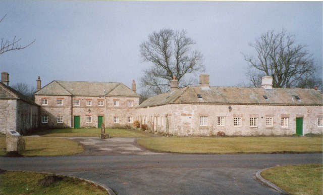
Lowther, Cumbria
Lowther is a civil parish in Westmorland and Furness, Cumbria. Within the parish are the settlements of Lowther Village, Newtown or Lowther Newtown, Hackthorpe...

Lowther Castle Stead
Lowther Castle Stead is a medieval site in Cumbria, possibly a ringwork castle. Lancaster University Archaeology Unit carried out a survey of the earthworks...

Askham Hall
Askham Hall is a country house near Askham in Cumbria. It is a Grade I listed building. == History == A peel tower was built on the site during the 14th...

Hackthorpe
Hackthorpe is a hamlet in the Eden district, in the county of Cumbria, England. Circa 1870, it had a population of 110 as recorded in the Imperial Gazetteer...
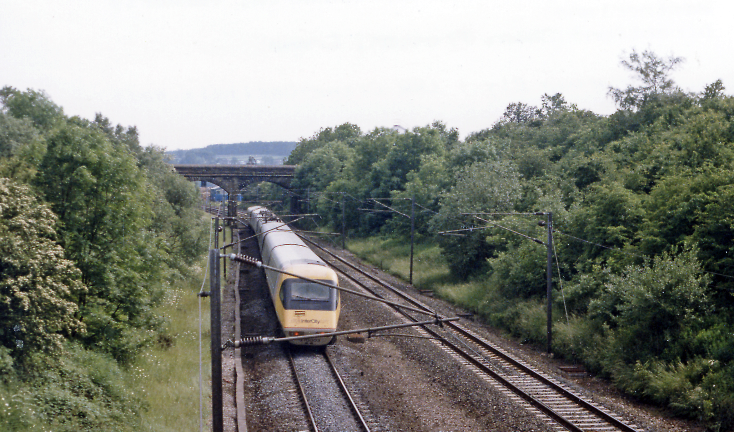
Clifton and Lowther railway station
Clifton & Lowther railway station was a station on the Lancaster and Carlisle Railway (L&CR) south of Penrith near to the village of Clifton. Although...
Leath
Leath was one of the wards of the historic county of Cumberland in north west England. Unlike most other English counties, Cumberland was divided into...

Askham, Cumbria
Askham is a village and civil parish in the Eden district of Cumbria, England. It is in the historic county of Westmorland. According to the 2001 census...
Nearby Amenities
Located within 500m of 54.606774,-2.7271563Have you been to Bracken Hill Wood?
Leave your review of Bracken Hill Wood below (or comments, questions and feedback).