Billinge Wood

Wood, Forest in Lancashire Chorley

England

Billinge Wood

Old Milestone by the A581, Southport Road, Newtown, Eccleston parish Metal plate attached to stone post by the A581, in parish of ECCLESTON (CHORLEY District), Newtown; by No. 87, by the road, on South side of road. Preston iron plate, erected by the Wigan & Preston (north of Yarrow) turnpike trust in the 19th century. 

Inscription reads:-
TO
PRESTON
8
MILES

Milestone Society National ID: LA_PSWG08.
Old Milestone by the A581, Southport Road, Newtown, Eccleston parish Credit: David Phillips

Billinge Wood is a picturesque woodland located in the county of Lancashire, England. Covering an area of approximately 90 hectares, it is nestled within the larger Billinge Hill area, which is known for its rolling hills and stunning natural beauty. The wood is easily accessible, situated just south of the village of Billinge and a short distance from the town of Wigan.

Billinge Wood is a diverse and thriving ecosystem, boasting a variety of tree species such as oak, birch, and beech. The dense canopy provides a habitat for numerous bird species, including woodpeckers, thrushes, and tits. The forest floor is carpeted with a rich array of wildflowers and ferns, adding to the enchanting atmosphere of the wood.

As a popular destination for nature enthusiasts, Billinge Wood offers a network of well-maintained trails, allowing visitors to explore the area at their leisure. The woodland is also home to a thriving population of wildlife, including deer, foxes, and rabbits. Wildlife enthusiasts will delight in the opportunity to spot these creatures in their natural habitat.

Billinge Wood is not only a haven for wildlife but also a recreational space for the local community. The wood provides a serene environment for walking, jogging, and cycling, with many visitors taking advantage of its tranquil setting to escape the hustle and bustle of everyday life.

Overall, Billinge Wood is a charming and diverse woodland that offers a peaceful retreat for both nature lovers and those seeking outdoor activities. Its natural beauty and abundant wildlife make it a treasured gem within Lancashire's countryside.

If you have any feedback on the listing, please let us know in the comments section below.

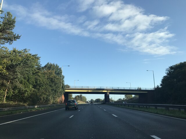
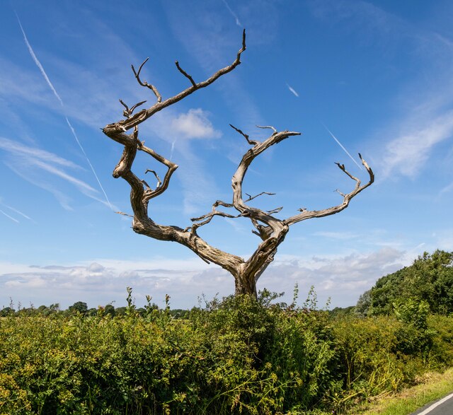
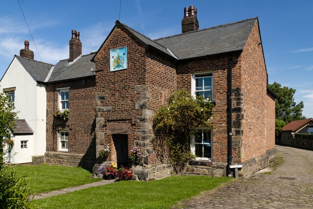
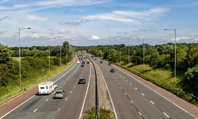
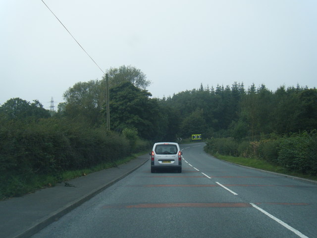
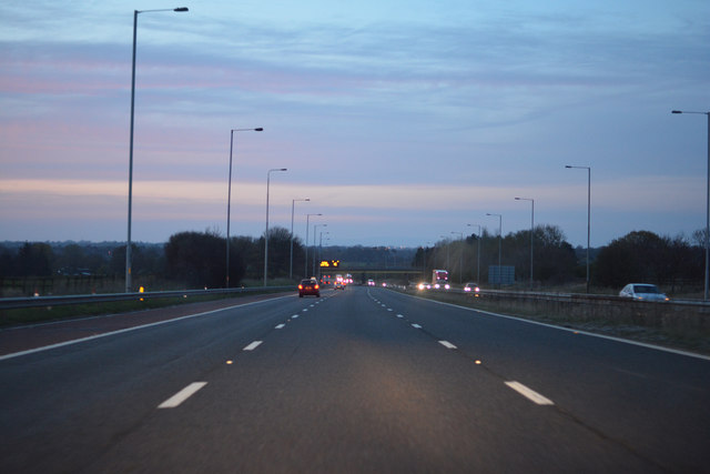
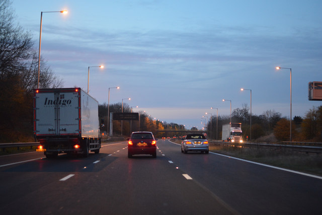
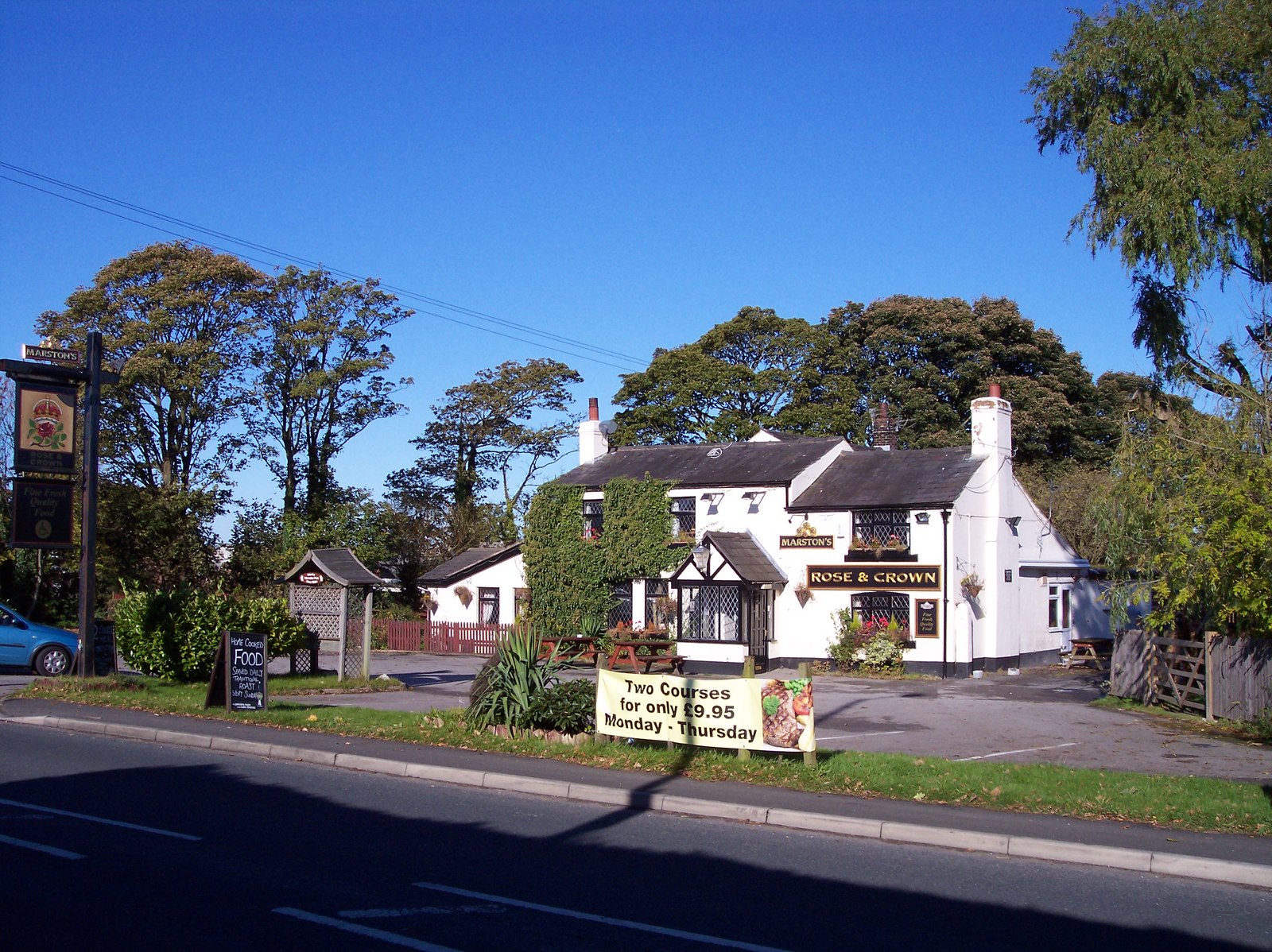
Billinge Wood Images

Images are sourced within 2km of 53.657783/-2.7107025 or Grid Reference SD5318. Thanks to Geograph Open Source API. All images are credited.

Old Milestone by the A581, Southport Road, Newtown, Eccleston parish Metal plate attached to stone post by the A581, in parish of ECCLESTON (CHORLEY District), Newtown; by No. 87, by the road, on South side of road. Preston iron plate, erected by the Wigan & Preston (north of Yarrow) turnpike trust in the 19th century. 

Inscription reads:-
TO
PRESTON
8
MILES

Milestone Society National ID: LA_PSWG08.
Old Milestone by the A581, Southport Road, Newtown, Eccleston parish
Metal plate attached to stone post by the A581, in parish of ECCLESTON (CHORLEY District), Newtown; by No. 87, by the road, on South side of road. Preston iron plate, erected by the Wigan & Preston (north of Yarrow) turnpike trust in the 19th century. Inscription reads:- TO PRESTON 8 MILES Milestone Society National ID: LA_PSWG08.
Old Milestone, B5250, Town Gate, Eccleston The milestone is located at the junction with The Hawthorns, on the pavement on the south side of the road. Parish of Eccleston (Chorley District). Metal plate attached to stone post, Preston iron plate design, erected by the Penwortham & Wrightington turnpike trust in the 19th century.

Inscription reads:- 
TO / PRESTON / 9 / MILES.
Carved benchmark front mid

Milestone Society National ID: LA_PSWG09
Old Milestone, B5250, Town Gate, Eccleston
The milestone is located at the junction with The Hawthorns, on the pavement on the south side of the road. Parish of Eccleston (Chorley District). Metal plate attached to stone post, Preston iron plate design, erected by the Penwortham & Wrightington turnpike trust in the 19th century. Inscription reads:- TO / PRESTON / 9 / MILES. Carved benchmark front mid Milestone Society National ID: LA_PSWG09
Back Lane Bridge, M6
Footbridge over M6
Footbridge over M6
Old Milestone, B5250, Town Gate, Eccleston The milestone is located at the junction with The Hawthorns, on the pavement on the south side of the road. Parish of Eccleston (Chorley District). Metal plate attached to stone post, Preston iron plate design, erected by the Penwortham & Wrightington turnpike trust in the 19th century.
 
Inscription reads:- 
TO / PRESTON / 9 / MILES.
Carved benchmark front mid

Milestone Society National ID: LA_PSWG09
Old Milestone, B5250, Town Gate, Eccleston
The milestone is located at the junction with The Hawthorns, on the pavement on the south side of the road. Parish of Eccleston (Chorley District). Metal plate attached to stone post, Preston iron plate design, erected by the Penwortham & Wrightington turnpike trust in the 19th century. Inscription reads:- TO / PRESTON / 9 / MILES. Carved benchmark front mid Milestone Society National ID: LA_PSWG09
Matrix board - northbound M6
Dawber's Lane - northbound M6
Runshaw Lane - northbound M6
Tree Dead tree on Red Lane.
Tree
Dead tree on Red Lane.
M6 Motorway The A581, Dawber's Lane, crossing the M6 motorway.
M6 Motorway
The A581, Dawber's Lane, crossing the M6 motorway.
Eccleston Barn conversion at Nursery House in Eccleston.
Eccleston
Barn conversion at Nursery House in Eccleston.
Whalley House
Whalley House
Verdes Restaurant Verdes restaurant in Eccleston.
Verdes Restaurant
Verdes restaurant in Eccleston.
M6 Motorway
M6 Motorway
A581 Dawber's Lane east of Shaw Green
Footpath from Towngate to Syd Brook Lane
Metropolitan Borough of Chorley : The M6 Motorway Heading north through Lancashire along the M6 Motorway.
Metropolitan Borough of Chorley : The M6 Motorway
Heading north through Lancashire along the M6 Motorway.
Metropolitan Borough of Chorley : The M6 Motorway Heading north through the Borough of Chorley on the M6 Motorway.
Metropolitan Borough of Chorley : The M6 Motorway
Heading north through the Borough of Chorley on the M6 Motorway.
Show me another place!

Billinge Wood is located at Grid Ref: SD5318 (Lat: 53.657783, Lng: -2.7107025)

Administrative County: Lancashire

District: Chorley

Police Authority: Lancashire

What 3 Words

///started.cosmic.blanking. Near Eccleston, Lancashire

Related Wikis

Ulnes Walton

Ulnes Walton is a village and civil parish of the Borough of Chorley in Lancashire, England. According to the United Kingdom Census 2011 it had a population...

Eccleston, Lancashire

Eccleston is a village and civil parish of the Borough of Chorley in Lancashire, England. It is beside the River Yarrow, and was formerly an agricultural...

Runshaw Hall

Runshaw Hall is a grade II listed 19th-century country house in Runshaw Hall Lane, Euxton, Chorley, Lancashire, England, which has been converted into...

Euxton Villa F.C.

Euxton Villa Football Club is a football club based in Euxton, England. They are currently members of the North West Counties League Division One North...

Euxton Hall Chapel

Euxton Hall Chapel is situated in the village of Euxton, Lancashire, England. It was designed by architect E. W. Pugin (1834–1875), and built in 1866...

Bolton Green

Bolton Green is a village in the Borough of Chorley, Lancashire, England. Bolton Green Hall farmhouse is a Grade II* listed building dating from 1612....

Euxton

Euxton ( EKS-tən) is a village and civil parish of the Borough of Chorley, in Lancashire, England. The population of the civil parish as taken at the 2011...

Knightmare (roller coaster)

Knightmare was a custom roller coaster at the now defunct Camelot Theme Park in Chorley, Lancashire, United Kingdom. It was built by Zierer and designed...

Nearby Amenities

Located within 500m of 53.657783,-2.7107025
Power: tower
Source: Bing
Lat/Long: 53.6554719/-2.7056136
Power: tower
Source: Bing
Lat/Long: 53.6586349/-2.7096496
Power: tower
Source: Bing
Lat/Long: 53.6610641/-2.7109658
The data included in this document is from www.openstreetmap.org. The data is made available under ODbL.

Have you been to Billinge Wood?

Leave your review of Billinge Wood below (or comments, questions and feedback).