Bury Hey Wood
Wood, Forest in Lancashire West Lancashire
England
Bury Hey Wood
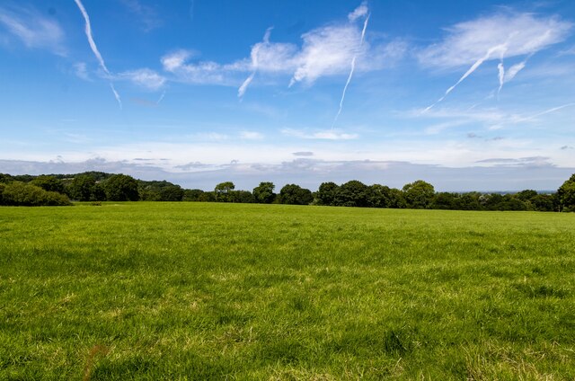
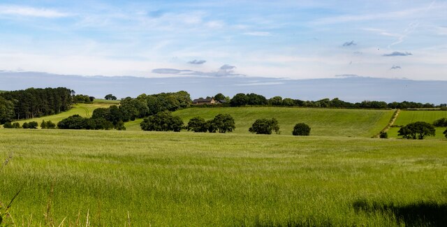
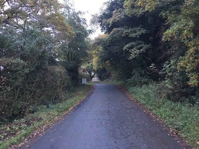
Bury Hey Wood, located in Lancashire, England, is a picturesque woodland area that spans approximately 150 hectares. It is known for its natural beauty, diverse wildlife, and rich history. The wood is situated near the town of Bury, offering a peaceful retreat from the bustling urban environment.
Bury Hey Wood is characterized by a mix of broadleaf and coniferous trees, including oak, birch, beech, and pine. The wood's dense canopy provides a habitat for a wide range of flora and fauna, making it a popular spot for nature enthusiasts and birdwatchers. Some of the bird species that can be spotted in the wood include woodpeckers, jays, and various songbirds.
The history of Bury Hey Wood dates back centuries, with evidence of human activity found in the form of ancient burial mounds and remnants of Iron Age settlements. The wood has also played a significant role in the local economy, serving as a source of timber and fuel for the surrounding communities.
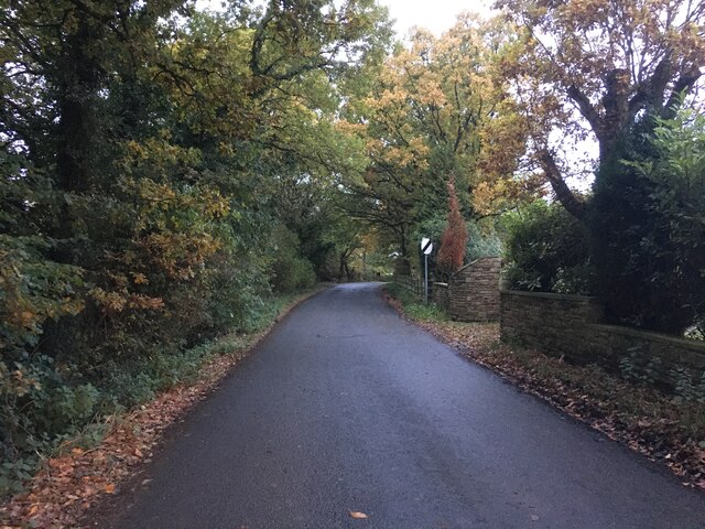
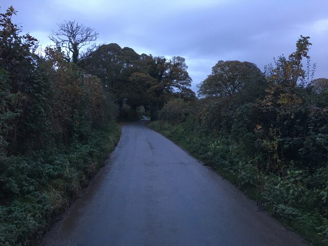
Today, Bury Hey Wood is managed by the Forestry Commission, which aims to preserve its natural beauty and biodiversity while providing recreational opportunities for visitors. The wood features several walking trails, allowing visitors to explore its tranquil surroundings and discover its hidden gems. Interpretive signs along the paths provide information about the wood's history, wildlife, and conservation efforts.
Overall, Bury Hey Wood offers both a peaceful escape and a chance to connect with nature, making it a cherished natural landmark in Lancashire.
If you have any feedback on the listing, please let us know in the comments section below.
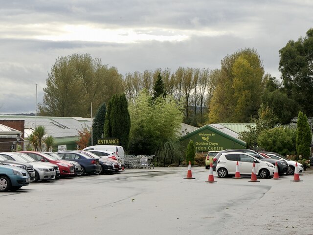
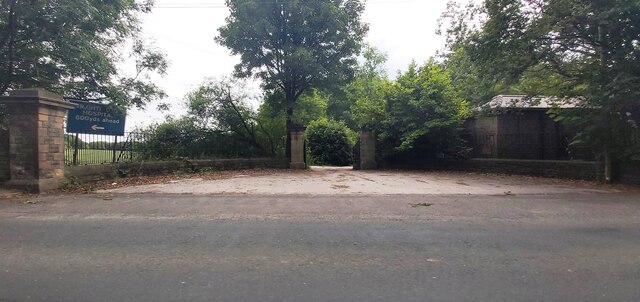
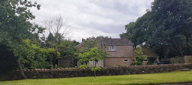
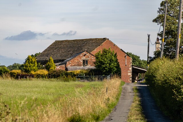
Bury Hey Wood Images
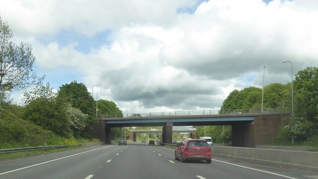
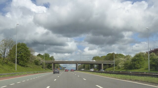
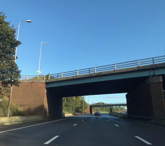
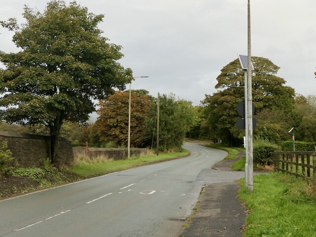
Images are sourced within 2km of 53.597653/-2.7207683 or Grid Reference SD5211. Thanks to Geograph Open Source API. All images are credited.


Bury Hey Wood is located at Grid Ref: SD5211 (Lat: 53.597653, Lng: -2.7207683)
Administrative County: Lancashire
District: West Lancashire
Police Authority: Lancashire
What 3 Words
///revamped.escapes.amazed. Near Appley Bridge, Lancashire
Nearby Locations
Related Wikis

Wrightington Hospital
Wrightington Hospital is a health facility in Wrightington, Lancashire, England. It is managed by the Wrightington, Wigan and Leigh NHS Foundation Trust...

Standish-with-Langtree
Standish-with-Langtree was, and to a limited extent remains, a local government district centred on Standish, Lancashire, in North West England. Historically...
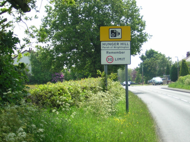
Hunger Hill, Lancashire
Hunger Hill is a small village three-quarters of a mile (1.2 km) from the centre of Wrightington, in West Lancashire, England. It is described as a rural...
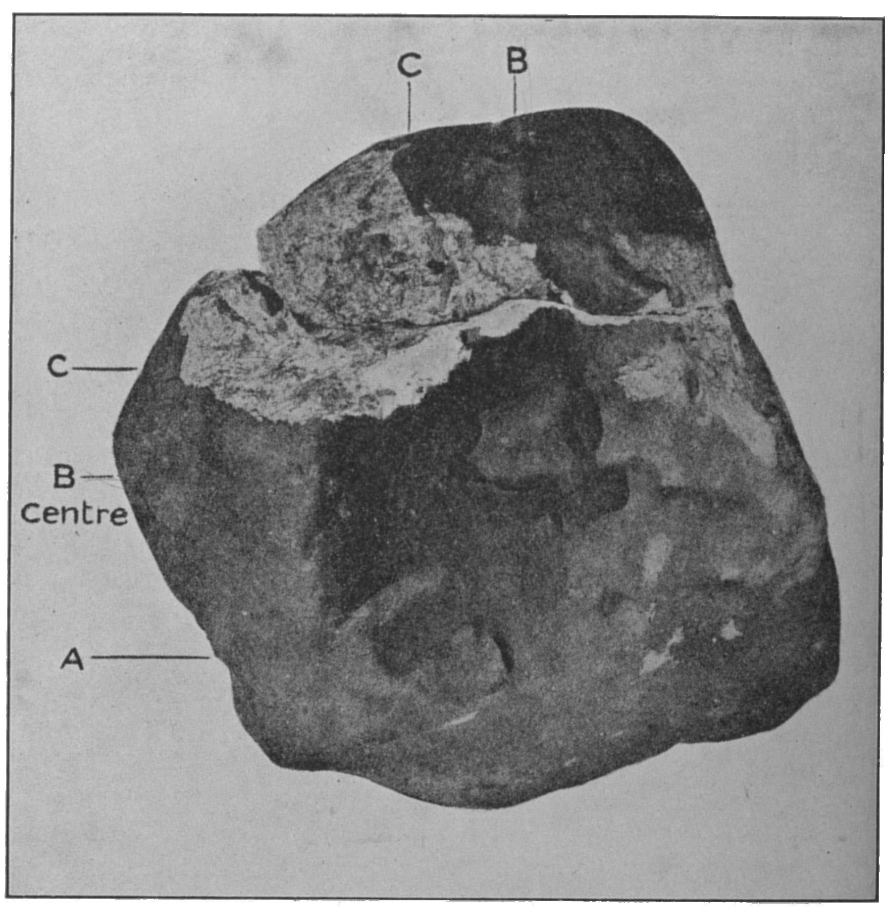
Appley Bridge meteorite
The Appley Bridge meteorite is a meteorite that hit ground at Halliwell Farm in Appley Bridge, Lancashire, England at around 8:45 PM on Tuesday, 13 October...

Wrightington
Wrightington is a civil parish in West Lancashire, England, with an area of 3,915½ acres. The surface is hilly, rising to over 400 ft. at Harrock on the...

Appley Bridge
Appley Bridge is a village in West Lancashire, England. It straddles the borders of Greater Manchester and Lancashire, England. It is located off Junction...
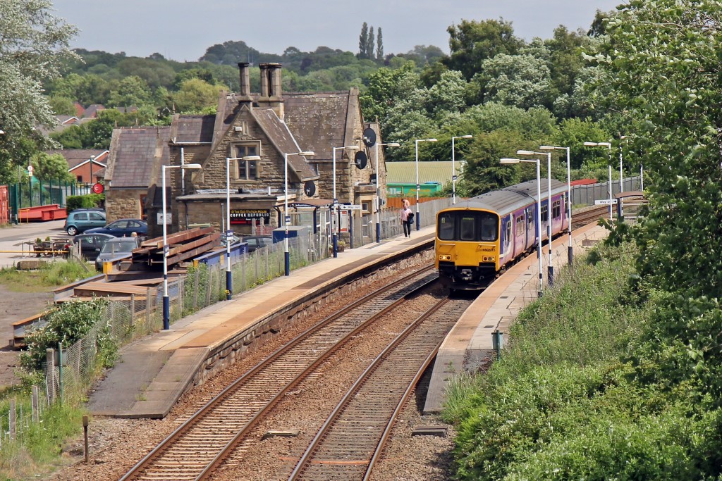
Appley Bridge railway station
Appley Bridge railway station serves the villages of Appley Bridge and Shevington, both in Metropolitan Borough of Wigan, Greater Manchester in England...
St James the Great Church, Wrightington
St James the Great Church is in Church Lane, to the west of Wrightington in Lancashire, England. It is an active Anglican parish church in the deanery...
Nearby Amenities
Located within 500m of 53.597653,-2.7207683Have you been to Bury Hey Wood?
Leave your review of Bury Hey Wood below (or comments, questions and feedback).