Wrightington
Civil Parish in Lancashire West Lancashire
England
Wrightington
Wrightington is a civil parish located in the county of Lancashire, England. It is situated approximately 20 miles northwest of Manchester and 15 miles northeast of Liverpool. The parish covers an area of about 11 square miles and is surrounded by the beautiful rural countryside of Lancashire.
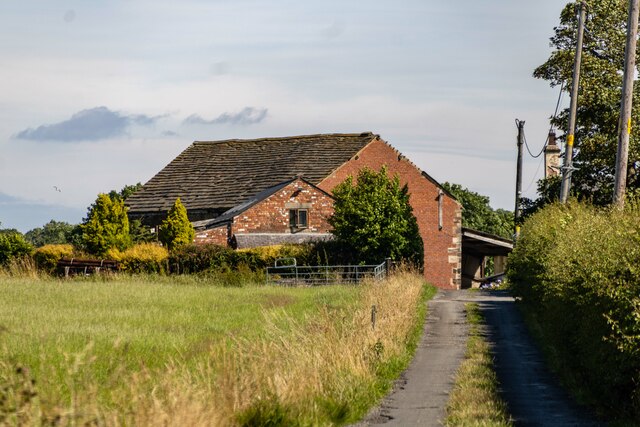
Wrightington is a small, quiet village with a population of around 2,000 residents. It is known for its picturesque landscapes, charming cottages, and historic buildings. The village is home to the Grade II listed Wrightington Hall, a 17th-century manor house that has been converted into a luxury hotel.
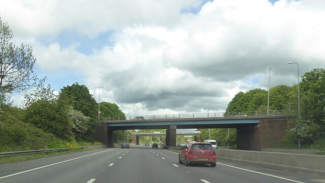
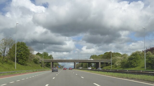
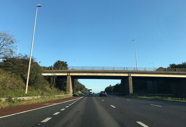
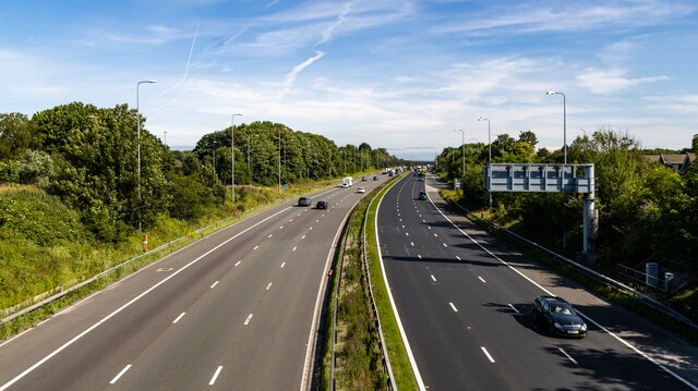
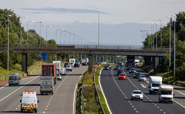
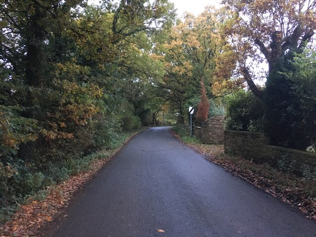
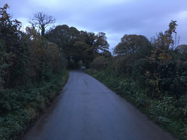
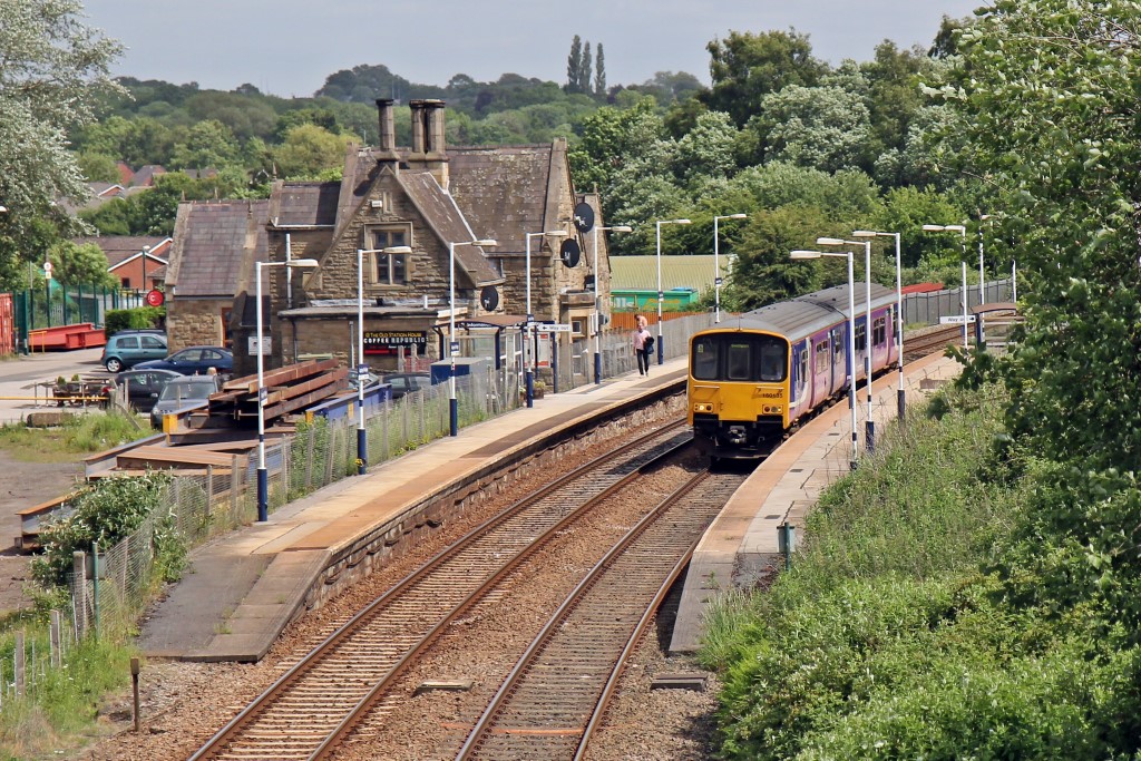
The parish is well-connected to the surrounding areas by road, with the A49 passing through it, providing easy access to nearby towns and cities. The nearby M6 motorway also offers convenient transportation links.
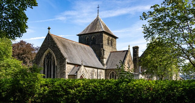
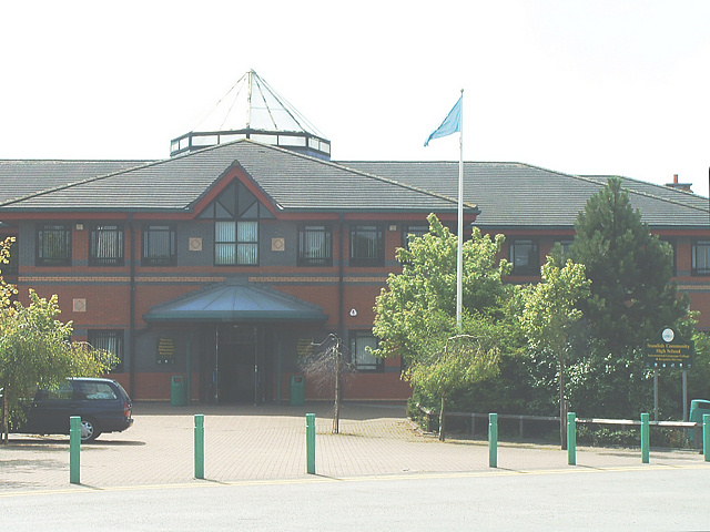
Wrightington is mainly a residential area, with a few shops, pubs, and local amenities to serve the community. The village has a primary school, providing education for children in the area. There are also several churches, including the beautiful St. John the Baptist Church, which dates back to the 13th century.
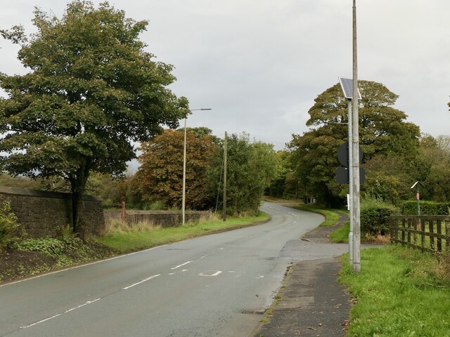
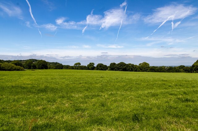
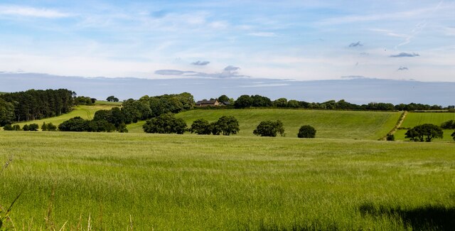
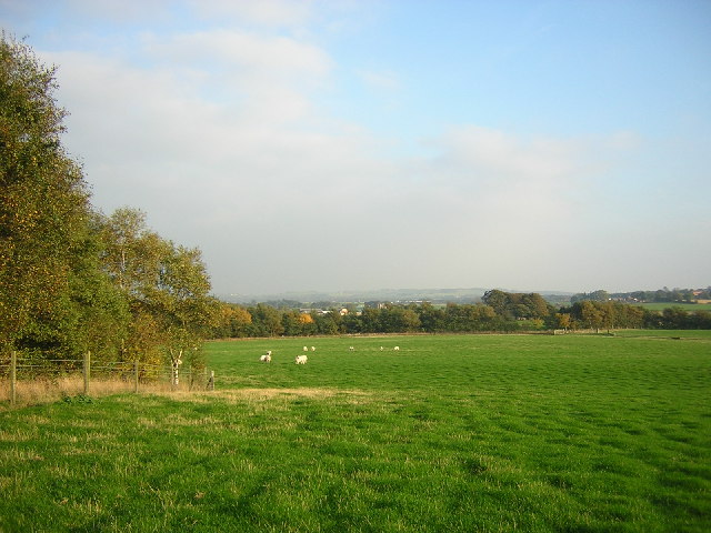
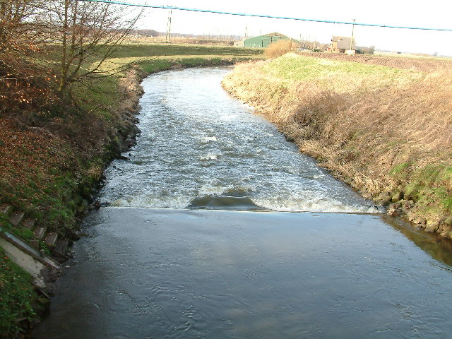
The village is surrounded by agricultural land, with many farms and fields in the vicinity. This makes Wrightington an ideal location for those seeking a peaceful rural lifestyle. The area is also popular among hikers and nature lovers, with several walking trails and nature reserves nearby.
Overall, Wrightington offers a tranquil and idyllic setting, perfect for those looking to escape the hustle and bustle of city life and enjoy the beauty of the Lancashire countryside.
If you have any feedback on the listing, please let us know in the comments section below.
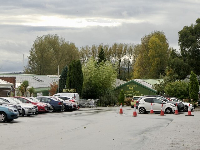
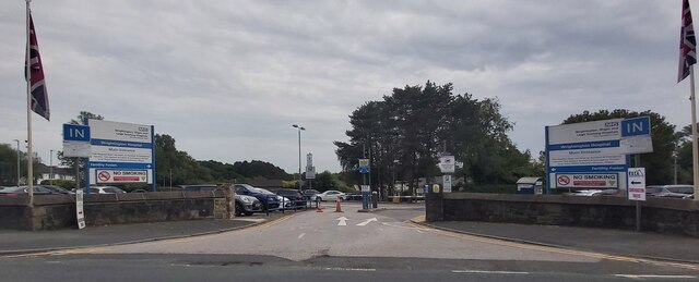
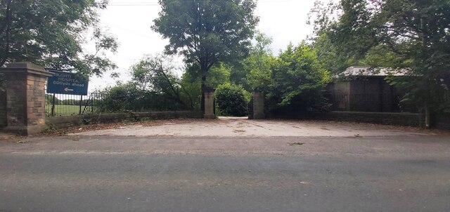
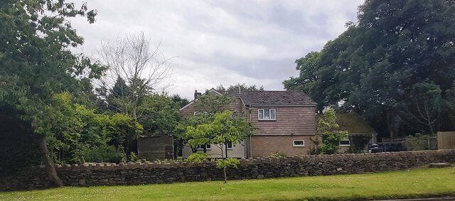
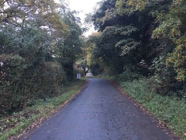
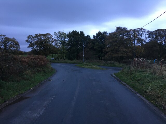
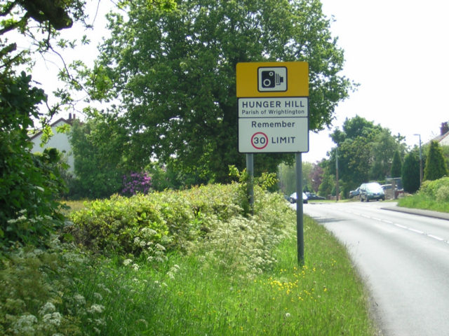
Wrightington Images
Images are sourced within 2km of 53.600297/-2.71831 or Grid Reference SD5211. Thanks to Geograph Open Source API. All images are credited.
Wrightington is located at Grid Ref: SD5211 (Lat: 53.600297, Lng: -2.71831)
Administrative County: Lancashire
District: West Lancashire
Police Authority: Lancashire
What 3 Words
///like.croutons.equipment. Near Appley Bridge, Lancashire
Nearby Locations
Related Wikis


Have you been to Wrightington?
Leave your review of Wrightington below (or comments, questions and feedback).