Robin Hood
Settlement in Lancashire West Lancashire
England
Robin Hood

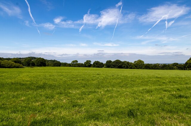
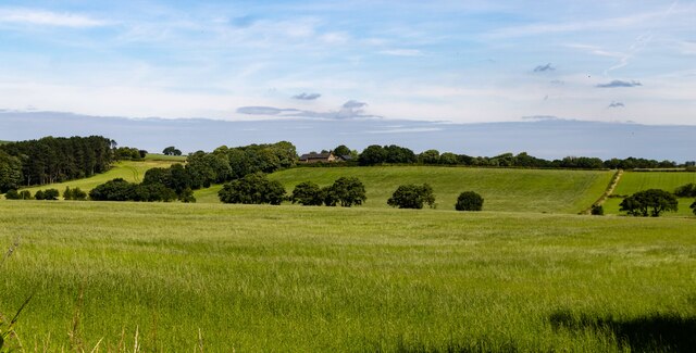
Robin Hood, Lancashire is a small village located in the borough of Hyndburn, in the county of Lancashire, England. Situated just a few miles northeast of the town of Blackburn, Robin Hood is a picturesque rural village surrounded by lush green fields and rolling hills.
The village takes its name from the legendary figure of Robin Hood, the famous outlaw of English folklore. Although there is no concrete evidence linking Robin Hood to the village, local legends suggest that he may have frequented the area during his escapades in Sherwood Forest.
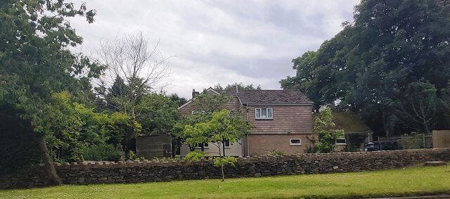
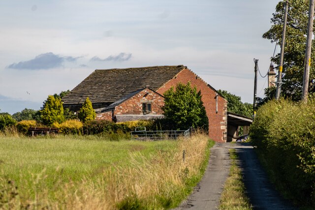
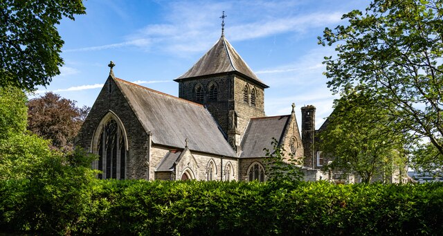
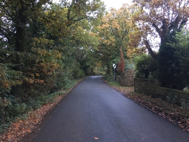
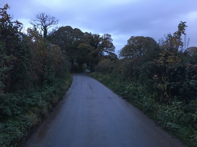
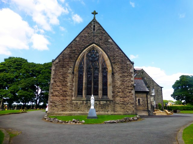
Despite its small size, Robin Hood has a close-knit community and a rich history. The village features a charming church, St. James the Less, which dates back to the 19th century and is known for its beautiful stained glass windows. Additionally, there are a number of traditional stone cottages and farmhouses that lend an old-world charm to the village.
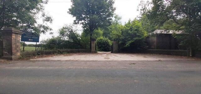
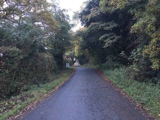
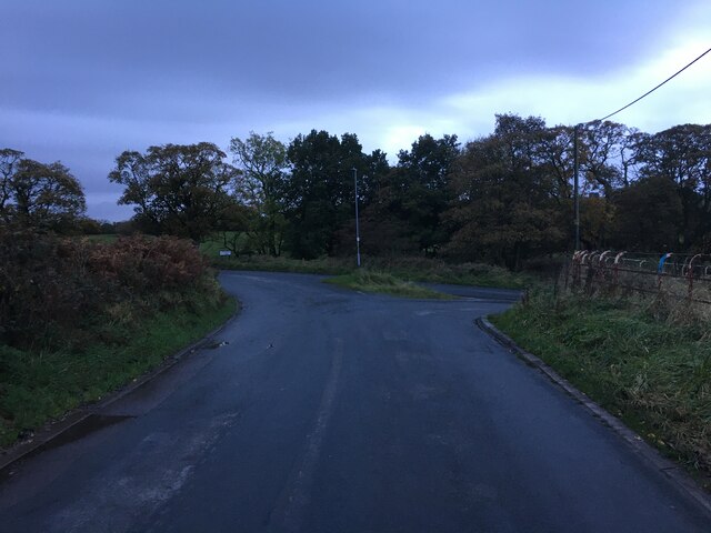
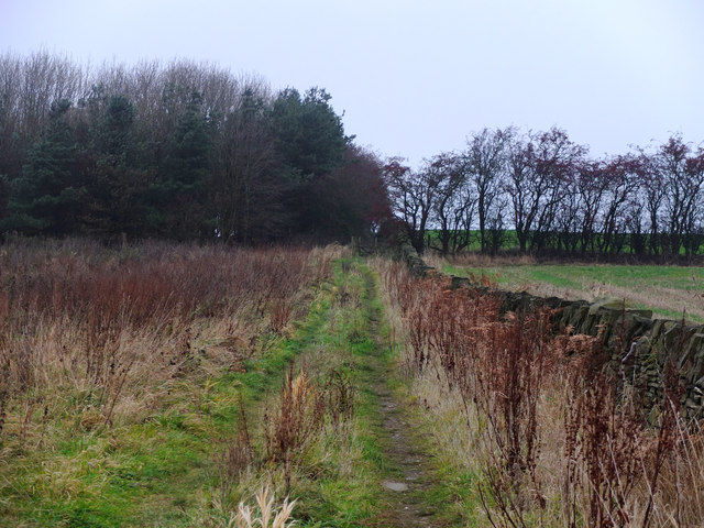
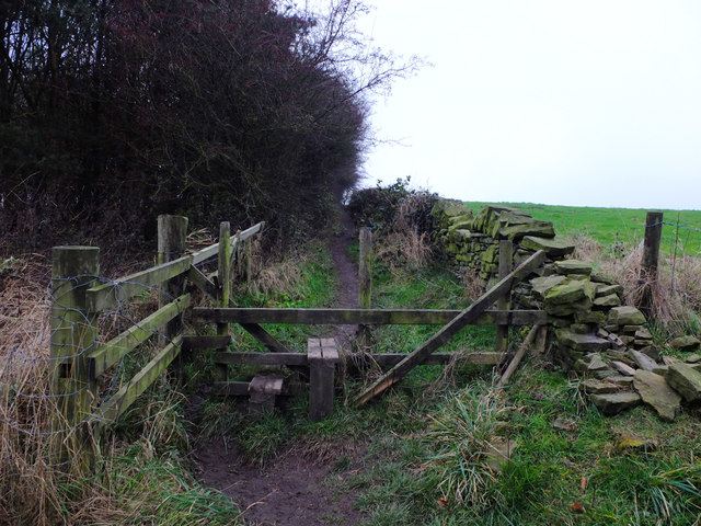
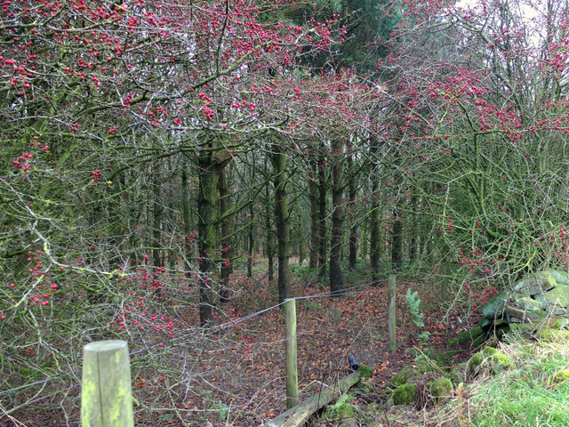
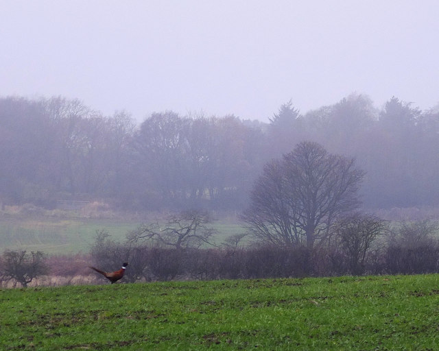
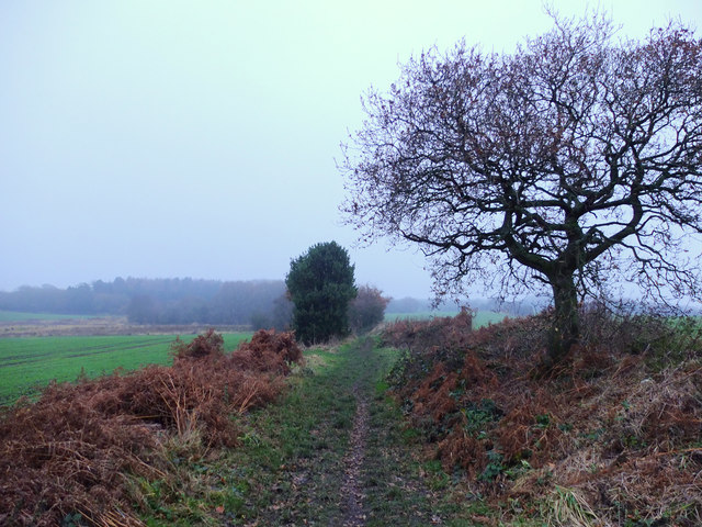
Robin Hood is surrounded by picturesque countryside, making it a popular destination for outdoor enthusiasts. The village is well-connected to various walking and cycling routes, allowing visitors to explore the stunning natural beauty of the area. Nearby attractions include the scenic Witton Country Park and the historic Hoghton Tower.
In terms of amenities, Robin Hood offers a few local shops and services, along with a cozy village pub where locals and visitors can enjoy a drink and some traditional pub fare.
Overall, Robin Hood, Lancashire is a quaint and peaceful village that offers a glimpse into rural life in the heart of England.
If you have any feedback on the listing, please let us know in the comments section below.
Robin Hood Images
Images are sourced within 2km of 53.598649/-2.72553 or Grid Reference SD5211. Thanks to Geograph Open Source API. All images are credited.

Robin Hood is located at Grid Ref: SD5211 (Lat: 53.598649, Lng: -2.72553)
Administrative County: Lancashire
District: West Lancashire
Police Authority: Lancashire
What 3 Words
///typed.amends.noun. Near Appley Bridge, Lancashire
Nearby Locations
Related Wikis

Wrightington Hospital
Wrightington Hospital is a health facility in Wrightington, Lancashire, England. It is managed by the Wrightington, Wigan and Leigh NHS Foundation Trust...

Standish-with-Langtree
Standish-with-Langtree was, and to a limited extent remains, a local government district centred on Standish, Lancashire, in North West England. Historically...
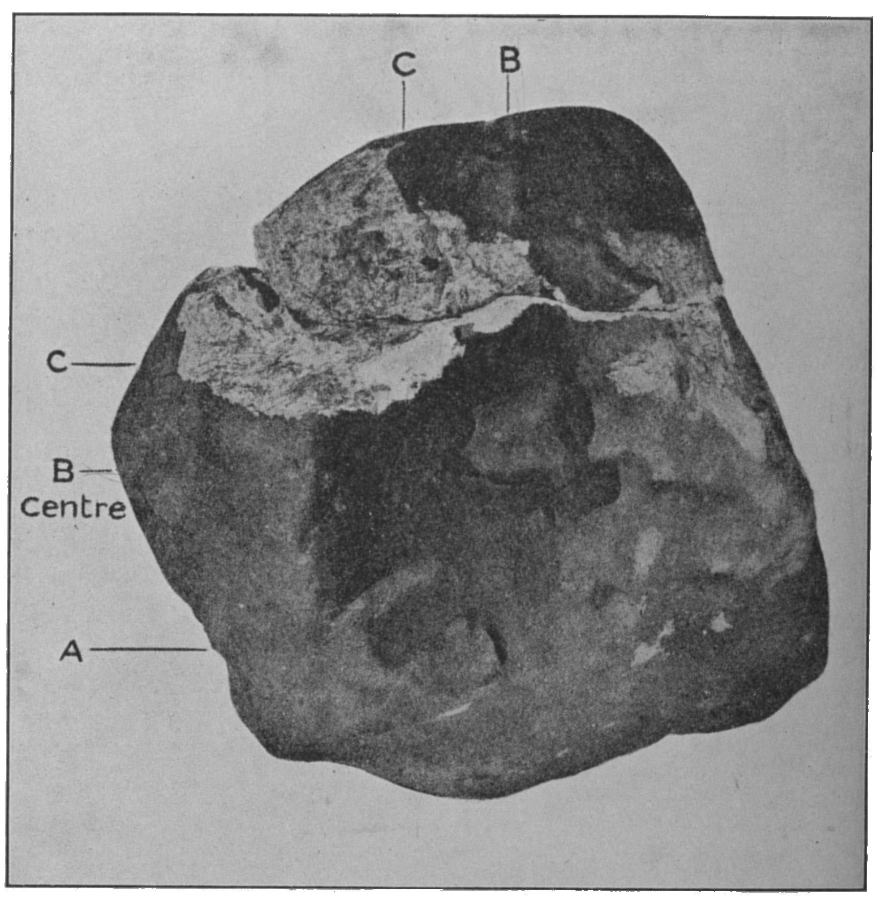
Appley Bridge meteorite
The Appley Bridge meteorite is a meteorite that hit ground at Halliwell Farm in Appley Bridge, Lancashire, England at around 8:45 PM on Tuesday, 13 October...

Wrightington
Wrightington is a civil parish in West Lancashire, England, with an area of 3,915½ acres. The surface is hilly, rising to over 400 ft. at Harrock on the...
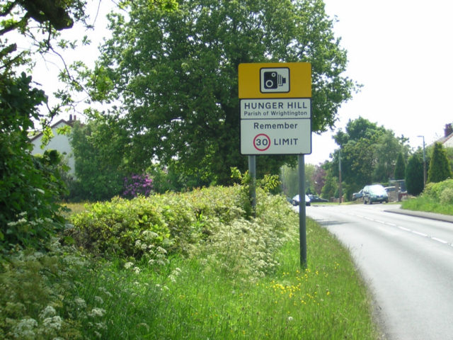
Hunger Hill, Lancashire
Hunger Hill is a small village three-quarters of a mile (1.2 km) from the centre of Wrightington, in West Lancashire, England. It is described as a rural...
St James the Great Church, Wrightington
St James the Great Church is in Church Lane, to the west of Wrightington in Lancashire, England. It is an active Anglican parish church in the deanery...
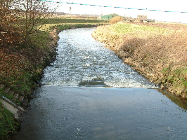
Douglas Navigation
The Douglas Navigation was a canalised section of the River Douglas or Asland, in Lancashire, England, running from its confluence with the River Ribble...

Appley Bridge
Appley Bridge is a village in West Lancashire, England. It straddles the borders of Greater Manchester and Lancashire, England. It is located off Junction...
Nearby Amenities
Located within 500m of 53.598649,-2.72553Have you been to Robin Hood?
Leave your review of Robin Hood below (or comments, questions and feedback).