Corbet Wood

Wood, Forest in Shropshire

England

Corbet Wood

Field Near Preston Brockhurst
Field Near Preston Brockhurst Credit: Richard Cooke

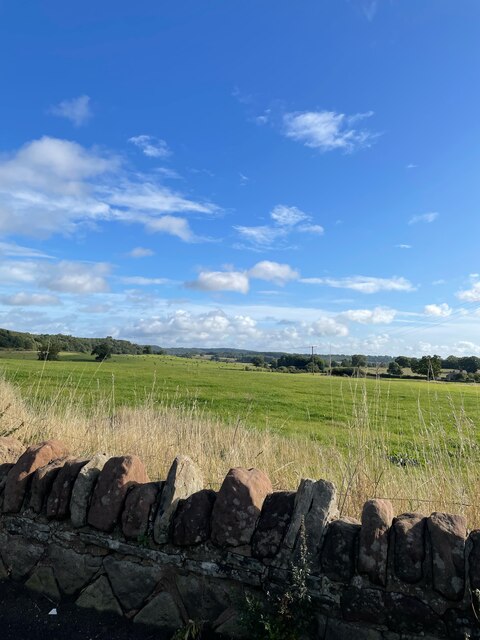
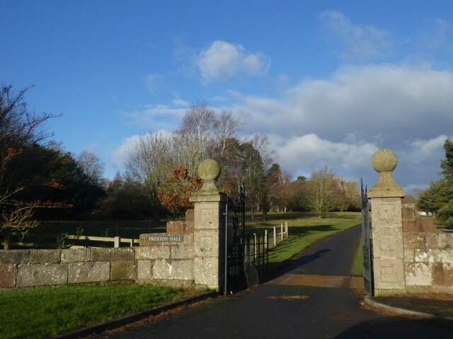
Corbet Wood is a picturesque forest located in the county of Shropshire, England. Covering an area of approximately 50 acres, it is nestled within the stunning landscape of the Shropshire Hills Area of Outstanding Natural Beauty. The wood is part of the larger Corbet Estate, which has a rich history dating back to the 12th century.

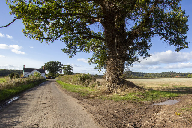
As visitors step into Corbet Wood, they are greeted by a tranquil and serene atmosphere. The forest is predominantly composed of native broadleaf trees, including oak, ash, birch, and beech. These trees create a dense canopy, providing shade and a sense of seclusion for those exploring the woodland. The forest floor is adorned with a vibrant carpet of wildflowers, ferns, and mosses, adding to the beauty of the surroundings.

The wood offers a network of well-maintained walking trails, which wind their way through the forest, allowing visitors to immerse themselves in nature. These trails cater to walkers of all abilities, with options for short strolls or longer hikes. Along the way, there are benches and picnic spots, inviting visitors to rest and enjoy the peaceful ambiance.

Corbet Wood is also home to a diverse range of wildlife. Birdwatchers can spot various species, including woodpeckers, warblers, and owls, while lucky visitors may even catch a glimpse of deer or foxes.

With its natural beauty and tranquil atmosphere, Corbet Wood is a haven for nature lovers and those seeking a peaceful escape from the bustling outside world. Whether it is for a leisurely walk, a picnic, or wildlife observation, this enchanting woodland offers a truly rejuvenating experience for all who visit.

If you have any feedback on the listing, please let us know in the comments section below.
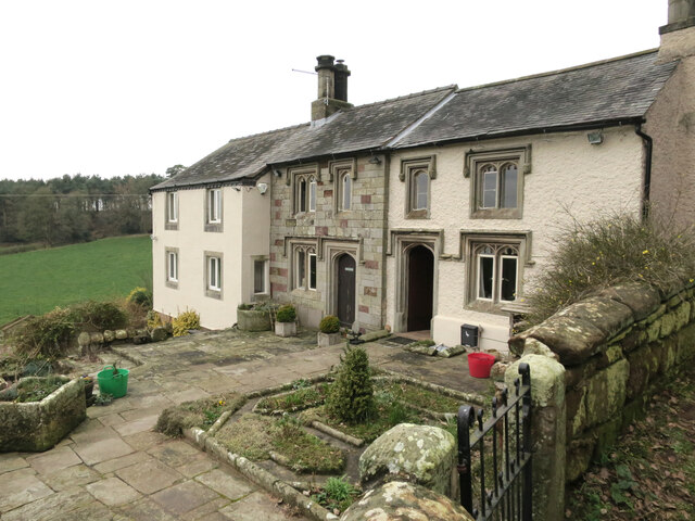
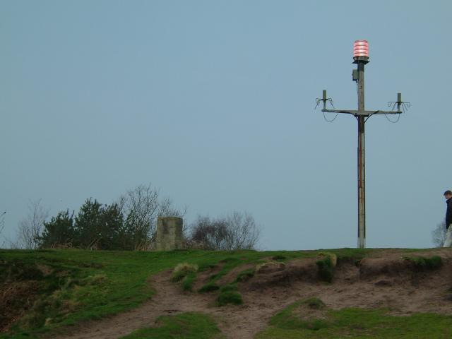
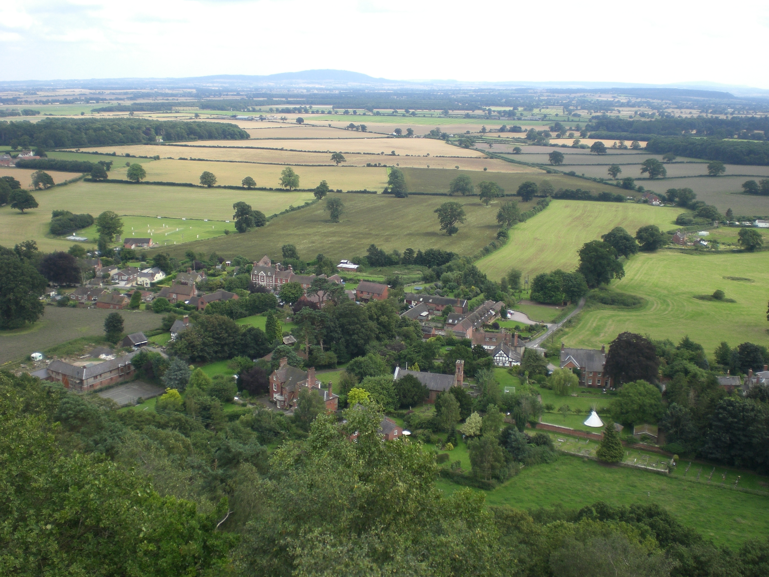
Corbet Wood Images

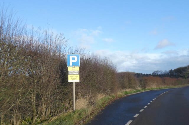
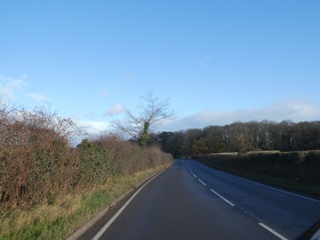
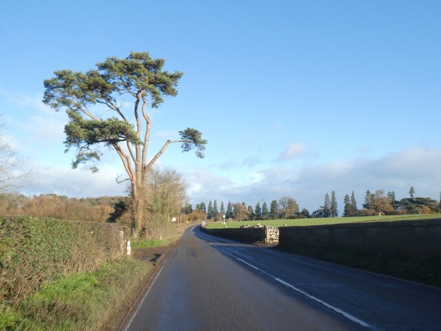
Images are sourced within 2km of 52.808991/-2.7085268 or Grid Reference SJ5223. Thanks to Geograph Open Source API. All images are credited.

Field Near Preston Brockhurst
Small lay-by by A49 with warning sign The yellow sign warns that the area is part of an "Operation Snap" campaign, where motorists can submit dash-cam evidence of bad driving.  The A49 here is straight, without many side roads.
Small lay-by by A49 with warning sign
The yellow sign warns that the area is part of an "Operation Snap" campaign, where motorists can submit dash-cam evidence of bad driving. The A49 here is straight, without many side roads.
A49 south of Grinshill The wood ahead is Boarpit Rough, the southern edge of the estate of Acton Reynald
A49 south of Grinshill
The wood ahead is Boarpit Rough, the southern edge of the estate of Acton Reynald
A49 south of Grinshill The road is bounded on the right by a modern wall, the edge of the Acton Reynald estate
A49 south of Grinshill
The road is bounded on the right by a modern wall, the edge of the Acton Reynald estate
Wide verge by A49 east of Grinshill The A49 is a major road that runs for 158 miles from Bamber Bridge, near Preston, to Ross-on-Wye.

The section north of Warrington is mostly a non-primary road for local traffic, having been largely superseded by the M6 motorway. South of Warrington, the route traverses the Welsh Marches region <span class="nowrap"><a title="https://en.wikipedia.org/wiki/Welsh_Marches" rel="nofollow ugc noopener" href="https://en.wikipedia.org/wiki/Welsh_Marches">Link</a><img style="margin-left:2px;" alt="External link" title="External link - shift click to open in new window" src="https://s1.geograph.org.uk/img/external.png" width="10" height="10"/></span>  , following the hills along the English/Welsh borders although it never actually enters Wales; usually running around ten miles away from the border as it winds its way through Cheshire, Shropshire and Herefordshire although it comes within a couple of miles near Whitchurch. The road is all primary but mainly single carriageway, which means that traffic queues sometimes build up behind tractors or slow-moving goods vehicles.  The stretch between the A5 at Shrewsbury and Ross-on-Wye is a trunk road, maintained by the national Highways England.
<span class="nowrap"><a title="http://www.sabre-roads.org.uk/wiki/index.php?title=A49" rel="nofollow ugc noopener" href="http://www.sabre-roads.org.uk/wiki/index.php?title=A49">Link</a><img style="margin-left:2px;" alt="External link" title="External link - shift click to open in new window" src="https://s1.geograph.org.uk/img/external.png" width="10" height="10"/></span>  SABRE
Wide verge by A49 east of Grinshill
The A49 is a major road that runs for 158 miles from Bamber Bridge, near Preston, to Ross-on-Wye. The section north of Warrington is mostly a non-primary road for local traffic, having been largely superseded by the M6 motorway. South of Warrington, the route traverses the Welsh Marches region LinkExternal link , following the hills along the English/Welsh borders although it never actually enters Wales; usually running around ten miles away from the border as it winds its way through Cheshire, Shropshire and Herefordshire although it comes within a couple of miles near Whitchurch. The road is all primary but mainly single carriageway, which means that traffic queues sometimes build up behind tractors or slow-moving goods vehicles. The stretch between the A5 at Shrewsbury and Ross-on-Wye is a trunk road, maintained by the national Highways England. LinkExternal link SABRE
Entrance gateway to Preston Hall The hall <a href="https://www.geograph.org.uk/photo/351085">SJ5324 : Preston Hall</a> dates from 1652 with few later alterations; it is claimed that the stone for the hall came from quarries on the estate, which may apply to the gateway as well
Entrance gateway to Preston Hall
The hall SJ5324 : Preston Hall dates from 1652 with few later alterations; it is claimed that the stone for the hall came from quarries on the estate, which may apply to the gateway as well
Stone trig pillar
Stone trig pillar
Clive, Station Road
Clive, Station Road
New House Farm Fields near New House Farm
New House Farm
Fields near New House Farm
House on A49 House on A49 near New House Farm
House on A49
House on A49 near New House Farm
All Saint’s Church in the lovely village of Grinshill A well-placed bench in the churchyard provided this view of the church. An interesting tower housing a long pendulum clock, and note the tremendous gargoyles at either end of the roof!
All Saint’s Church in the lovely village of Grinshill
A well-placed bench in the churchyard provided this view of the church. An interesting tower housing a long pendulum clock, and note the tremendous gargoyles at either end of the roof!
Old Forge House, Clive
Smooth cut sandstone This wide cutting may have been for the easy removal of the quarried stone down to the road at Grinshill.

Many local buildings where made with stone from here, including the railway station at nearby Shrewsbury. <a title="https://www.geograph.org.uk/photo/5052456" href="https://www.geograph.org.uk/photo/5052456">Link</a>
Smooth cut sandstone
This wide cutting may have been for the easy removal of the quarried stone down to the road at Grinshill. Many local buildings where made with stone from here, including the railway station at nearby Shrewsbury. Link
The Railway Inn, Yorton Now closed.
The Railway Inn, Yorton
Now closed.
Land near Sansaw
Land near Sansaw
Houses between Clive and Grinshill
Beacon & Trig Point at Grinshill
Clive Church This beautiful church spire dominates the edge of Grinshill and is a landmark for many miles. Shropshire has many church spires but to me this ones the best...!
Clive Church
This beautiful church spire dominates the edge of Grinshill and is a landmark for many miles. Shropshire has many church spires but to me this ones the best...!
Show me another place!

Corbet Wood is located at Grid Ref: SJ5223 (Lat: 52.808991, Lng: -2.7085268)

Unitary Authority: Shropshire

Police Authority: West Mercia

What 3 Words

///kidney.social.table. Near Clive, Shropshire

Related Wikis

Corbet Wood and Grinshill

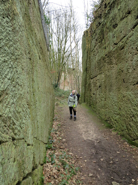
Corbet Wood Countryside Heritage Site and Grinshill Site is a mixture of a woodland and quarrying site in Shropshire. It has been designated a SSSI due...

Grinshill

Grinshill is a small village, and civil parish in Shropshire, England, United Kingdom. The parish is one of the smallest in the district. The population...

Clive, Shropshire

Clive is a village and civil parish in Shropshire, England, United Kingdom. Clive is situated around the west side of Grinshill Hill. Grinshill sandstone...

Acton Reynald Hall

Acton Reynald Hall is a 19th-century country house at Acton Reynald, Moreton Corbet, Shropshire, England. It is a Grade II* listed building.The Corbet...

Acton Reynald

Acton Reynald is a village in the north of Shropshire, England. The village is more of a hamlet in that it does not contain a public house, Post Office...

Yorton

Yorton is a small village in Shropshire, England, north of the county town of Shrewsbury and south of the town of Wem. == Governance == Yorton is represented...

Yorton railway station

Yorton railway station serves the villages of Yorton and Clive in Shropshire, England. It is 7¼ miles (11.5 km) north of Shrewsbury on the Welsh Marches...

Alderton, Shropshire

Alderton is a village in Shropshire, England. == See also == Listed buildings in Myddle and Broughton == External links == Media related to Alderton,...

Nearby Amenities

Located within 500m of 52.808991,-2.7085268
Grinshill
Place: village
Wikidata: Q3811470
Lat/Long: 52.8058047/-2.710945
Disused Amenity: pub
Lat/Long: 52.8060627/-2.7110157
Post Box
Post Box Type: lamp
Ref: SY4 347
Lat/Long: 52.8063389/-2.709586
Barrier: stile
Lat/Long: 52.811273/-2.7102221
Grinshill
Man Made: survey_point
Natural: peak
Survey Point Structure: block
Lat/Long: 52.8089375/-2.7146103
Direction: 200
Tourism: viewpoint
Lat/Long: 52.8089222/-2.7144464
Man Made: beacon
Lat/Long: 52.8089495/-2.714531
Natural: cliff
Lat/Long: 52.8097804/-2.7090086
Give Way
Direction: backward
Lat/Long: 52.806126/-2.7128667
Public Bookcase
Defibrillator
Booth: K6
Colour: red
Defibrillator Location: inside old red phone box (that is now used as book swap) on High Street, Grinshill
Disused Amenity: telephone
Emergency: defibrillator
Man Made: telephone_box
Old Phone: +44 1939 220342
Public Bookcase Type: phone_box
Lat/Long: 52.8063059/-2.7097827
Advertising: board
Lat/Long: 52.8063311/-2.7096896
Passing Place
Lat/Long: 52.8115917/-2.7031982
Man Made: monitoring_station
Monitoring Weather: yes
Lat/Long: 52.8094128/-2.7145805
Man Made: utility_pole
Lat/Long: 52.807293/-2.713995
Man Made: utility_pole
Lat/Long: 52.8075167/-2.7123993
Man Made: utility_pole
Lat/Long: 52.8072722/-2.7101572
Man Made: utility_pole
Lat/Long: 52.8070571/-2.7088807
The data included in this document is from www.openstreetmap.org. The data is made available under ODbL.

Have you been to Corbet Wood?

Leave your review of Corbet Wood below (or comments, questions and feedback).