Ashton Hill Plantation

Wood, Forest in Somerset

England

Ashton Hill Plantation

Long Ashton - Railway Cutting The Bristol - Weston-super-Mare line viewed from Wild Country Lane bridge
Long Ashton - Railway Cutting Credit: ChurchCrawler

Ashton Hill Plantation, Somerset, is a picturesque woodland located in the heart of Somerset County, England. Covering an expansive area of approximately 500 acres, this enchanting forest is known for its abundant flora and fauna, making it a popular destination for nature enthusiasts and outdoor lovers.

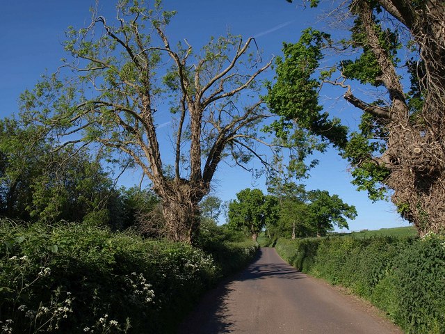
The plantation boasts a diverse range of tree species, including oak, beech, and pine, which form a dense canopy that provides a cool and refreshing environment even during the hot summer months. Walking through the forest, visitors can appreciate the tranquility and serenity it offers, being surrounded by the calming sounds of rustling leaves and chirping birds.

Ashton Hill Plantation is home to a variety of wildlife, providing a haven for numerous species. Birdwatchers will delight in spotting woodpeckers, owls, and various songbirds, while small mammals such as squirrels, rabbits, and foxes can also be observed in their natural habitat. The plantation also supports a rich insect population, with butterflies and dragonflies adding vibrant splashes of color to the landscape.

For those seeking outdoor activities, Ashton Hill Plantation offers several well-maintained walking trails, allowing visitors to explore its beauty at their own pace. These trails wind through the plantation, offering glimpses of charming ponds and clear streams that add to the area's natural allure.

In conclusion, Ashton Hill Plantation, Somerset, is an idyllic woodland that provides a peaceful retreat from the bustling city life. With its diverse range of trees, thriving wildlife, and scenic trails, it promises a delightful experience for anyone seeking solace in nature's embrace.

If you have any feedback on the listing, please let us know in the comments section below.

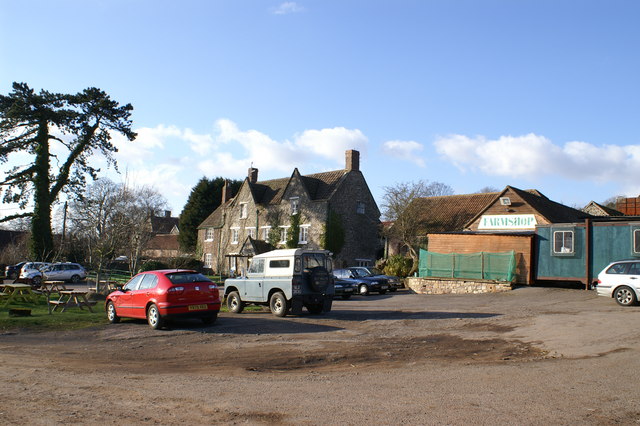
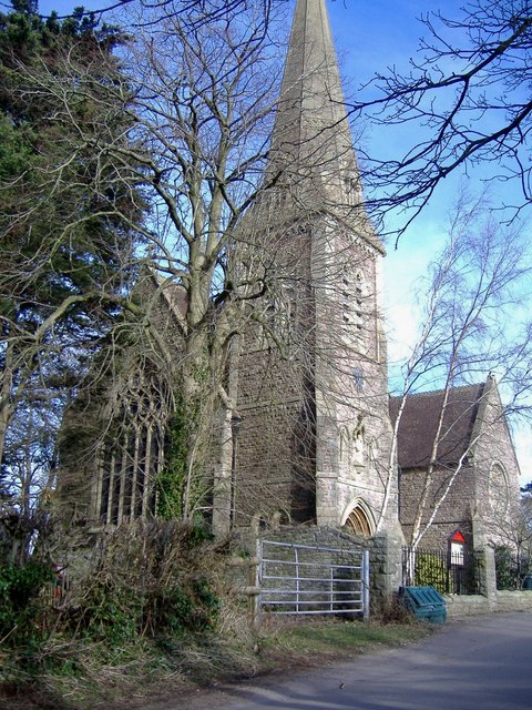
Ashton Hill Plantation Images

Images are sourced within 2km of 51.433033/-2.6869432 or Grid Reference ST5270. Thanks to Geograph Open Source API. All images are credited.

Long Ashton - Railway Cutting The Bristol - Weston-super-Mare line viewed from Wild Country Lane bridge
Long Ashton - Railway Cutting
The Bristol - Weston-super-Mare line viewed from Wild Country Lane bridge
Bare Tree On the outskirts of Flax Bourton
Bare Tree
On the outskirts of Flax Bourton
Gatcombe Farm & Shop
Gatcombe Farm Geese
Gatcombe Farm Geese
Long Ashton: aqueduct over railway An aqueduct carries the Land Yeo, a river, across the Bristol and Exeter railway. The bridge also provides access to a farm on Cambridge Batch. Looking south east
Long Ashton: aqueduct over railway
An aqueduct carries the Land Yeo, a river, across the Bristol and Exeter railway. The bridge also provides access to a farm on Cambridge Batch. Looking south east
Arable land, Flax Bourton
The Dew Drop Inn, Flax Bourton If you like puns, no doubt you will do as you are invited.
The Dew Drop Inn, Flax Bourton
If you like puns, no doubt you will do as you are invited.
Cycle track and ploughed field A beautiful Spring morning cycling out of Bristol, alongside the hidden railway that heads West towards Weston Super Mare.
Cycle track and ploughed field
A beautiful Spring morning cycling out of Bristol, alongside the hidden railway that heads West towards Weston Super Mare.
Field, Flax Bourton A tarmac footpath provides a safe alternative to walking along Station Road, which runs parallel to the left. On the right is <a href="https://www.geograph.org.uk/photo/127997">ST5169 : Bare Tree</a>, which has lost a good deal of its height in just over four years.
Field, Flax Bourton
A tarmac footpath provides a safe alternative to walking along Station Road, which runs parallel to the left. On the right is ST5169 : Bare Tree, which has lost a good deal of its height in just over four years.
B3130 at Cambridge Batch The B road dips underneath the A370, with a slip road to the left.
B3130 at Cambridge Batch
The B road dips underneath the A370, with a slip road to the left.
Barrow Court Lane Showing much of the 40 metres that the lane spends in this square as it crosses the northwest corner past an oak and an ash, heading towards <a href="https://www.geograph.org.uk/photo/889931">ST5168 : Barrow Court</a>.
Barrow Court Lane
Showing much of the 40 metres that the lane spends in this square as it crosses the northwest corner past an oak and an ash, heading towards ST5168 : Barrow Court.
Barrow Court Lane Trees, mainly oaks, stand beside the lane from the B3130 to Barrow Court.
Barrow Court Lane
Trees, mainly oaks, stand beside the lane from the B3130 to Barrow Court.
Site of former Sidings & Petroleum Storage Depot at Flax Bourton Photograph of the site of the former Petroleum Storage Depot at Flax Bourton.
Site was closed and the sidings lifted in the 1980s.
Photograph taken from Festival Way Cycle Path NCN33.
Site of former Sidings & Petroleum Storage Depot at Flax Bourton
Photograph of the site of the former Petroleum Storage Depot at Flax Bourton. Site was closed and the sidings lifted in the 1980s. Photograph taken from Festival Way Cycle Path NCN33.
Festival Way NCN33 crossing Station Road, Flax Bourton The Festival Way / NCN33 crossing of Station Road in Flax Bourton.  
The wooden bollard is the only obstacle at the crossing, and there is a gap of over 1m either side of the bollard.
The path here is tarmac, in good condition.
Note that there is limited visibility over the bridge, so please exercise care when crossing here.
Festival Way NCN33 crossing Station Road, Flax Bourton
The Festival Way / NCN33 crossing of Station Road in Flax Bourton. The wooden bollard is the only obstacle at the crossing, and there is a gap of over 1m either side of the bollard. The path here is tarmac, in good condition. Note that there is limited visibility over the bridge, so please exercise care when crossing here.
Milestone at the end of Long Ashton At the junction of the Weston Road and Wildcountry Lane is a milestone with a more modern plate, if a little flaky these days. See <a href="https://www.geograph.org.uk/photo/7152875">ST5369 : Long Ashton milestone</a> for a wider view.
Milestone at the end of Long Ashton
At the junction of the Weston Road and Wildcountry Lane is a milestone with a more modern plate, if a little flaky these days. See ST5369 : Long Ashton milestone for a wider view.
Long Ashton milestone The roadside marker close to the west end of Long Ashton, near the former Cider Research station. See <a href="https://www.geograph.org.uk/photo/7152873">ST5369 : Milestone at the end of Long Ashton</a> for a closer look at the former.
Long Ashton milestone
The roadside marker close to the west end of Long Ashton, near the former Cider Research station. See ST5369 : Milestone at the end of Long Ashton for a closer look at the former.
Long Ashton Guides' Hut The modern facility is available 'for sleepovers and pack holidays', as well as guides meetings.
Long Ashton Guides' Hut
The modern facility is available 'for sleepovers and pack holidays', as well as guides meetings.
A couple of welcomes Entering Long Ashton from the west: a typical sign and an airy crest.
A couple of welcomes
Entering Long Ashton from the west: a typical sign and an airy crest.
Show me another place!

Ashton Hill Plantation is located at Grid Ref: ST5270 (Lat: 51.433033, Lng: -2.6869432)

Unitary Authority: North Somerset

Police Authority: Avon and Somerset

What 3 Words

///report.gears.tiles. Near Long Ashton, Somerset

Related Wikis

Failand

Failand is a village in Somerset, England. It lies within the civil parish of Wraxall and Failand and the unitary authority area of North Somerset. The...

Bristol City W.F.C.

Bristol City Women's Football Club is a women's association football team from the city of Bristol. Formed in 1998 as Bristol Rovers W.F.C., they were...

Gatcombe, Somerset

Gatcombe at Ashton Watering within the civil parish of Long Ashton, Somerset, England, is the location of a Grade II* listed building which was built on...

Wraxall Camp

Wraxall Camp, or Failand Camp, is a small round earthwork in Somerset. The remains are indistinct and thickly covered by woods, but it appears to have...

Nearby Amenities

Located within 500m of 51.433033,-2.6869432
Barrier: swing_gate
Lat/Long: 51.4313326/-2.688978
Path
Fixme: Please GPS Survey
Source: OS_OpenData_StreetView
Lat/Long: 51.4324666/-2.6838829
The data included in this document is from www.openstreetmap.org. The data is made available under ODbL.

Have you been to Ashton Hill Plantation?

Leave your review of Ashton Hill Plantation below (or comments, questions and feedback).