California Coppice
Wood, Forest in Shropshire
England
California Coppice
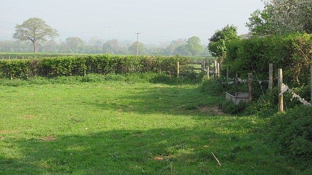
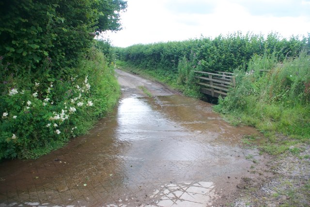
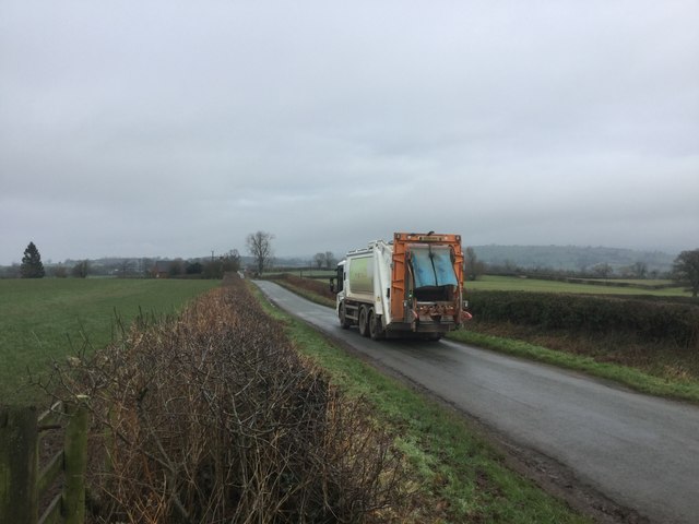
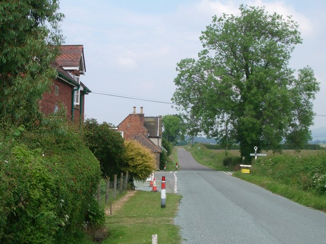
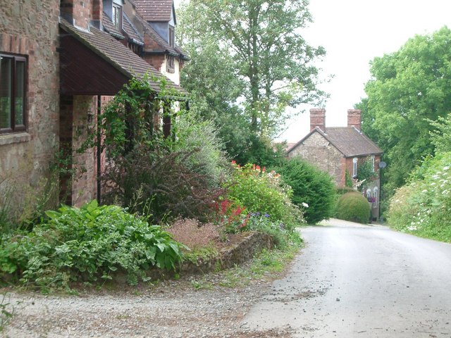
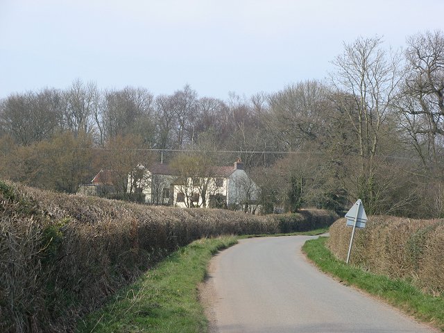
California Coppice is a woodland located in the county of Shropshire, England. It covers an area of approximately 50 acres and is situated near the village of Coppice, just a few miles south of the town of Oswestry. The coppice is named after the village it is closest to, rather than being related to the state of California in the United States.
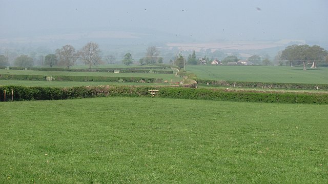
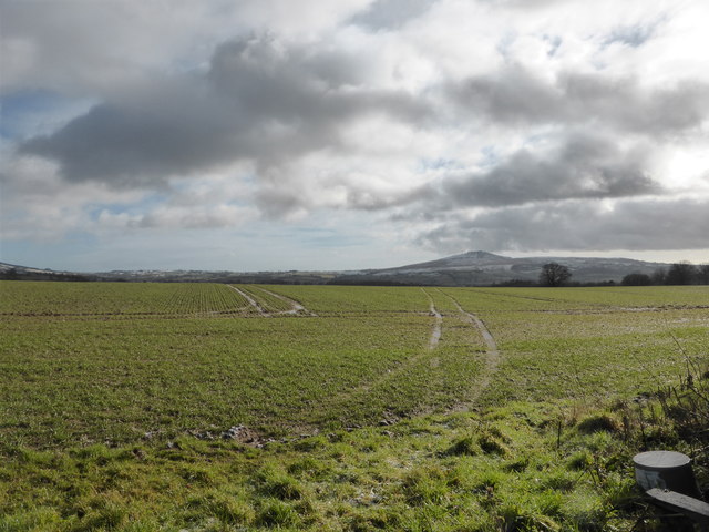
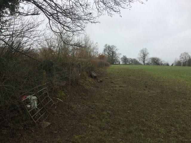
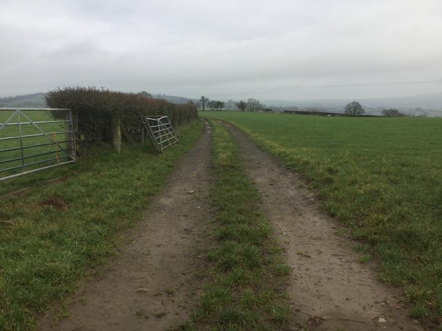
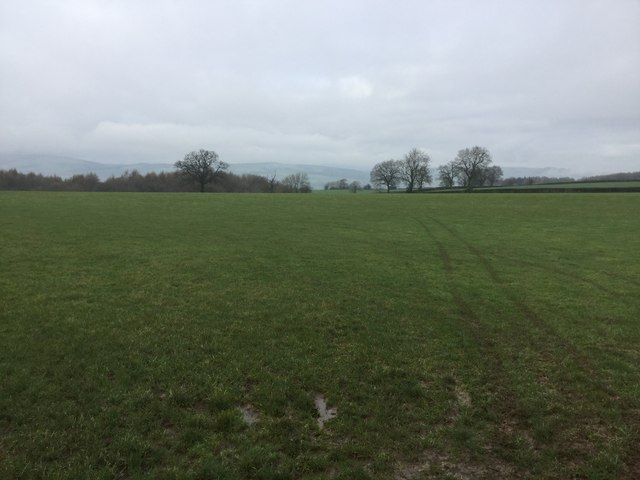
The woodland is characterized by its dense and varied vegetation, consisting mainly of deciduous trees such as oak, ash, and birch. The trees in California Coppice are typically quite tall, with some reaching heights of over 30 meters. The forest floor is covered in a thick layer of leaf litter, providing habitat for a diverse range of flora and fauna.
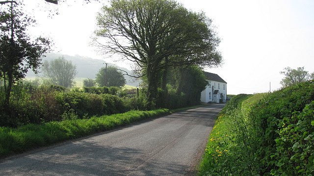
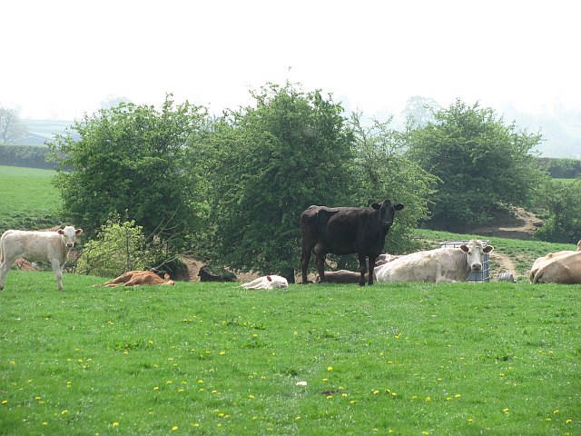
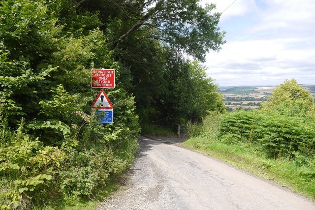
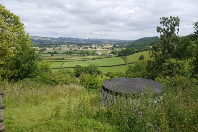
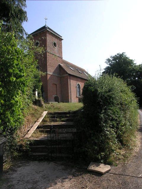
The coppice is well-known for its scenic beauty, attracting nature enthusiasts, hikers, and photographers. It offers numerous walking trails and footpaths, allowing visitors to explore the woodland and enjoy its tranquil atmosphere. The abundance of wildlife in the area includes various bird species, small mammals, and insects.
Furthermore, California Coppice is managed by local authorities to promote biodiversity and maintain a healthy ecosystem. Regular tree thinning and coppicing activities take place to encourage tree growth and create suitable habitats for a wide range of species.
Overall, California Coppice is a picturesque woodland in Shropshire, providing a peaceful retreat for nature lovers and a haven for wildlife.
If you have any feedback on the listing, please let us know in the comments section below.
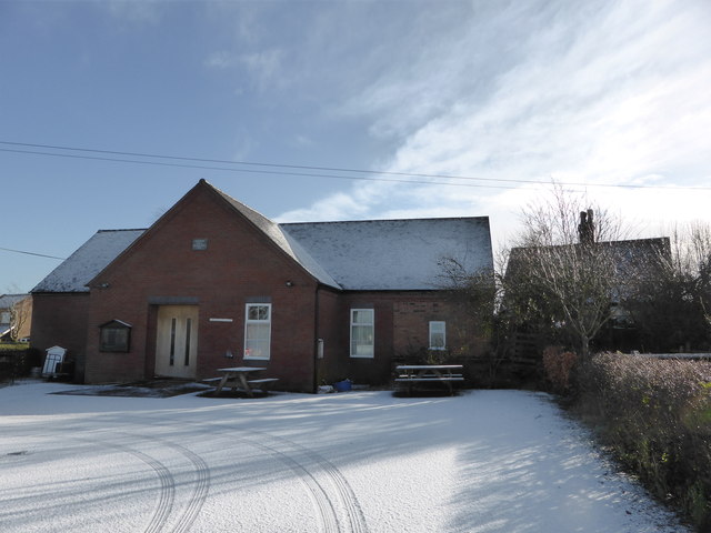
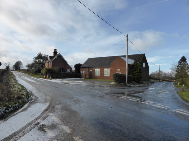
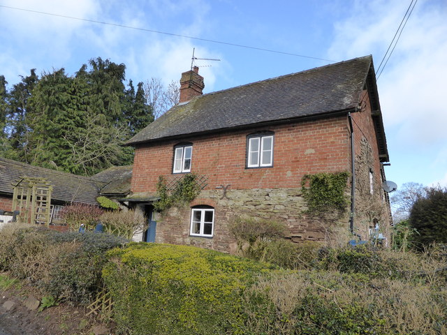
California Coppice Images
Images are sourced within 2km of 52.418676/-2.7022515 or Grid Reference SO5280. Thanks to Geograph Open Source API. All images are credited.
California Coppice is located at Grid Ref: SO5280 (Lat: 52.418676, Lng: -2.7022515)
Unitary Authority: Shropshire
Police Authority: West Mercia
What 3 Words
///roadways.infects.reprints. Near Ludlow, Shropshire
Nearby Locations
Related Wikis

Downton Hall
Downton Hall is a privately owned 18th-century country house at Stanton Lacy, near Ludlow, Shropshire. It is a Grade II* listed building.The house was...
Hopton Cangeford
Hopton Cangeford, also referred to as Hopton-in-the-Hole, is a small village and civil parish in south Shropshire, England. The small parish includes Lesser...

Clee Hills
The Clee Hills are a range of hills in Shropshire, England near Ludlow, consisting of Brown Clee Hill 1,772 feet (540 m), the highest peak in Shropshire...

River Corve
The River Corve is a minor river in Shropshire, England. It is a tributary of the River Teme which it joins in the town of Ludlow, and which joins the...

Stanton Lacy
Stanton Lacy is a small village and geographically large civil parish located in south Shropshire, England, 3 miles (4.8 km) north of Ludlow. The River...

Culmington
Culmington is a village and civil parish in south Shropshire, England, about 3+1⁄2 miles (5.6 km) east of Craven Arms and 4+1⁄2 miles (7 km) north of Ludlow...

Middleton, Bitterley
Middleton is a small village in south Shropshire, England. It is located 2.5 miles (4.0 km) northeast of Ludlow town centre, on the B4364 road (which runs...

Fishmore Hall Hotel
The Fishmore Hall Hotel in Ludlow, Shropshire is a house of historical significance. A major part of it was built in about 1820 but some of the building...
Nearby Amenities
Located within 500m of 52.418676,-2.7022515Have you been to California Coppice?
Leave your review of California Coppice below (or comments, questions and feedback).