Chadwick Wood
Wood, Forest in Lancashire
England
Chadwick Wood
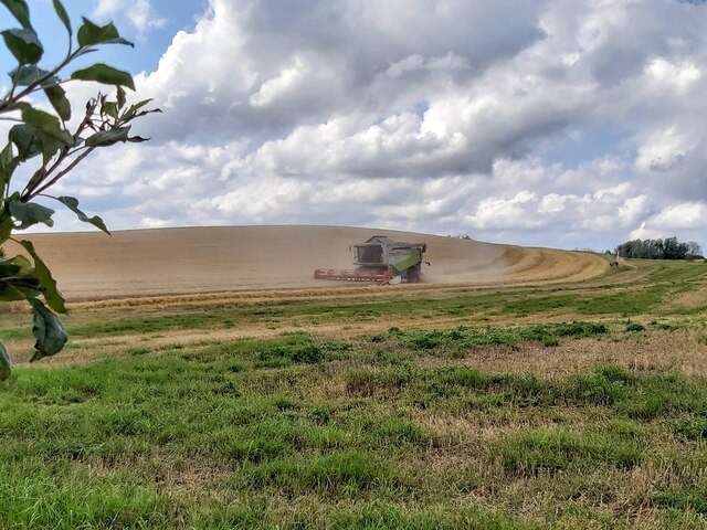
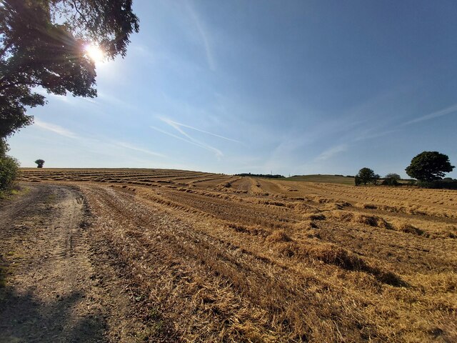
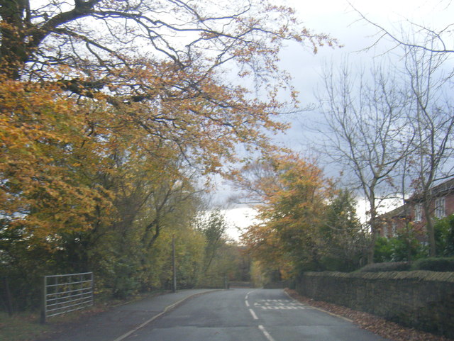
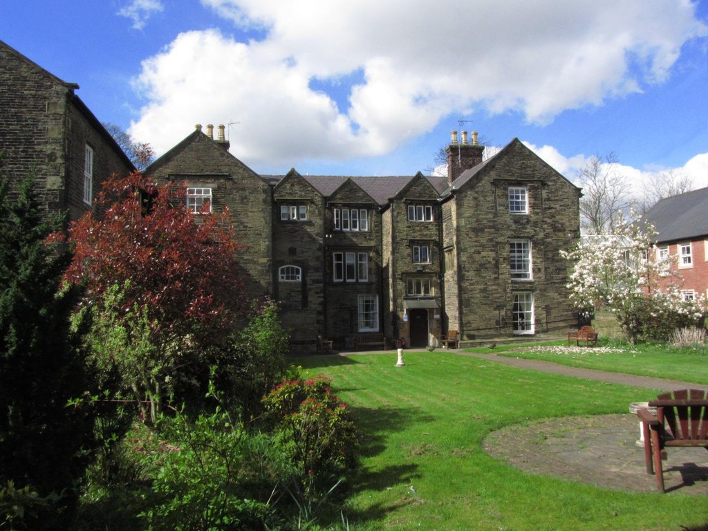
Chadwick Wood is a picturesque forest located in the county of Lancashire, England. Situated in the heart of the county, it covers an area of approximately 500 acres, making it one of the largest wooded areas in the region. The forest is surrounded by rolling hills and offers a tranquil escape from the bustling city life.
Chadwick Wood is known for its diverse range of wildlife, making it a popular destination for nature enthusiasts and birdwatchers. The forest is home to a variety of bird species, including woodpeckers, owls, and buzzards. Visitors can also spot deer, rabbits, and squirrels roaming freely in their natural habitat.
The woodland itself is a mix of deciduous and coniferous trees, creating a picturesque landscape throughout the seasons. In spring, the forest floor is adorned with beautiful wildflowers, while autumn brings a stunning display of vibrant colors as the leaves change.
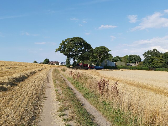
There are several walking trails and paths that crisscross Chadwick Wood, allowing visitors to explore the forest at their own pace. These trails range from easy strolls to more challenging hikes, catering to all fitness levels. Along the way, there are designated picnic spots and benches where visitors can rest and enjoy a packed lunch amidst the serene surroundings.
Chadwick Wood is easily accessible by car and public transport, with ample parking available for visitors. It is a popular destination for families, nature lovers, and those seeking a peaceful retreat in the heart of Lancashire.
If you have any feedback on the listing, please let us know in the comments section below.
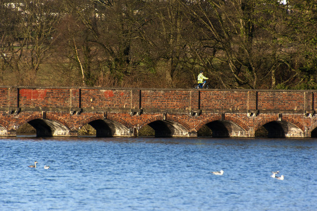
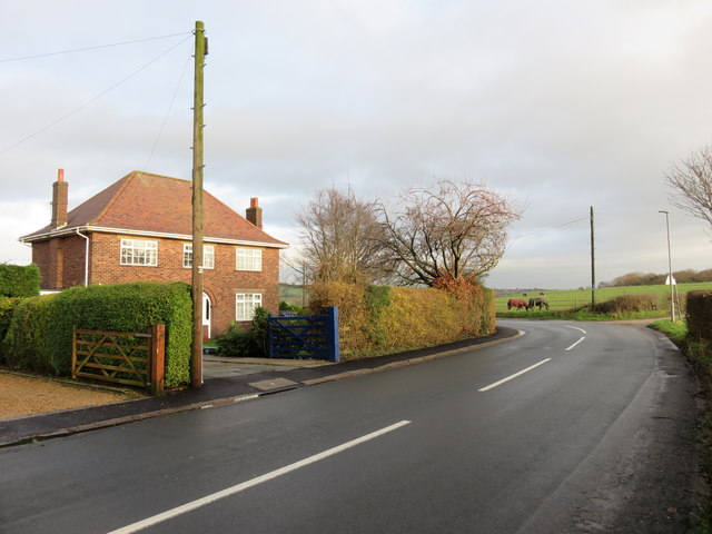
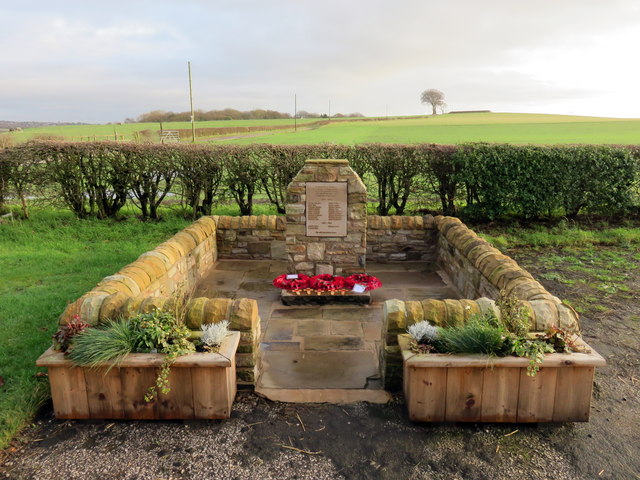
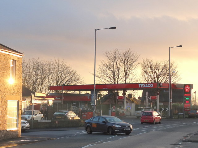
Chadwick Wood Images
Images are sourced within 2km of 53.498256/-2.7268595 or Grid Reference SD5100. Thanks to Geograph Open Source API. All images are credited.


Chadwick Wood is located at Grid Ref: SD5100 (Lat: 53.498256, Lng: -2.7268595)
Unitary Authority: St. Helens
Police Authority: Merseyside
What 3 Words
///savers.like.graph. Near Billinge, Merseyside
Nearby Locations
Related Wikis
Birchley Hall
Birchley Hall is a grade II* listed Elizabethan house built in about 1594, in Billinge, Merseyside, England.Birchley Hall was bought by Christopher Anderton...

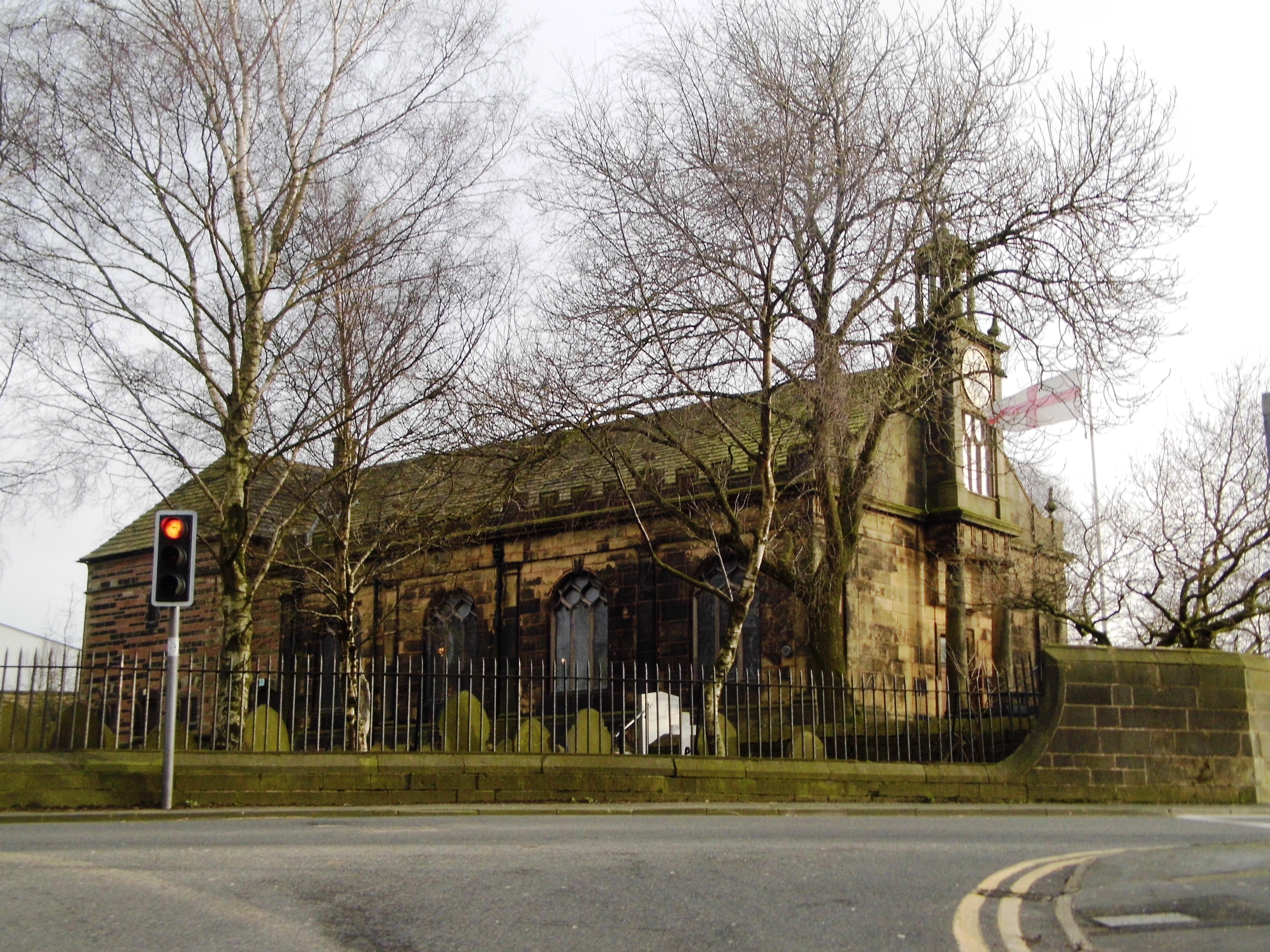
St Mary's Church, Billinge
St Mary's Church is an active Roman Catholic church along Birchley Road, Billinge, St Helens, Merseyside, England. Belonging to the archdiocese of Liverpool...

Crank Caverns
Crank Caverns is the common name of the remains of the Rainford Delph Quarry near Crank in St. Helens, Merseyside, England. It is a vast network of old...
Billinge, Merseyside
Billinge is a village within the Metropolitan Borough of St Helens, Merseyside, England. It forms the larger part of the civil parish of Billinge Chapel...

Billinge Hill
Billinge Hill, also known as Billinge Bump, is in the Metropolitan Borough of St Helens in North West England. With a maximum elevation of 179 m (587 ft...

Wish FM
Wish FM was an Independent Local Radio station serving Wigan in Greater Manchester and the St Helens area of Merseyside from studios in the Orrell area...
St Aidan's Church, Billinge
St Aidan's Church is in Main Street, Billinge, St Helens, Merseyside, England. It is an active Anglican parish church in the diocese of Liverpool. It...

St Helens North (UK Parliament constituency)
St. Helens North is a constituency created in 1983 represented in the House of Commons of the UK Parliament since 2015 by the Labour Party's Conor McGinn...
Nearby Amenities
Located within 500m of 53.498256,-2.7268595Have you been to Chadwick Wood?
Leave your review of Chadwick Wood below (or comments, questions and feedback).