Colwick
Settlement in Nottinghamshire Gedling
England
Colwick
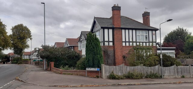
Colwick is a small suburban village located in Nottinghamshire, England. Situated approximately 4 miles east of Nottingham city center, it forms part of the borough of Gedling. The village is bordered by the River Trent to the south and the A612 road to the north, providing convenient access to nearby towns and cities.
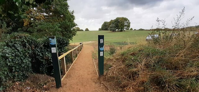
Colwick is known for its picturesque surroundings, with lush green fields, woods, and the nearby Colwick Country Park, which offers a tranquil escape for nature lovers. The park covers an area of 250 acres and features a large lake, perfect for boating and fishing activities. It also boasts a diverse range of flora and fauna, making it an ideal spot for wildlife enthusiasts.
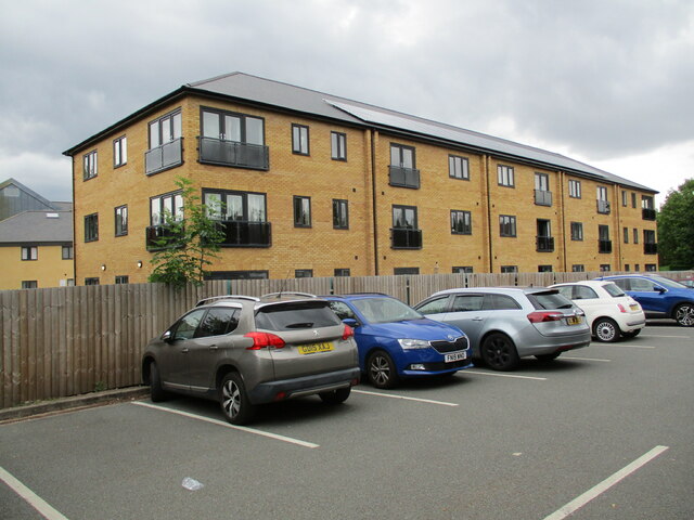
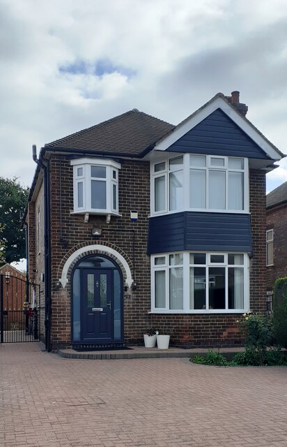
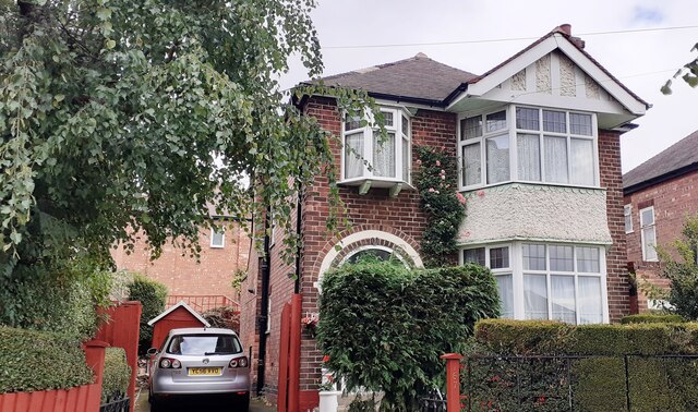
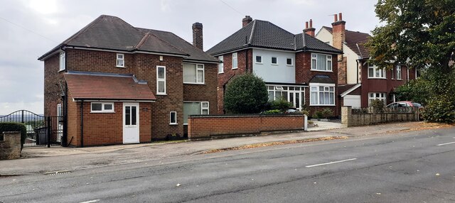
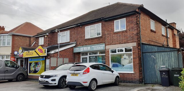
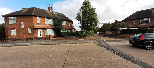
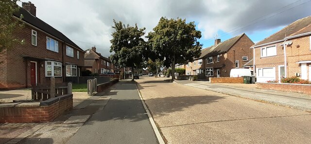
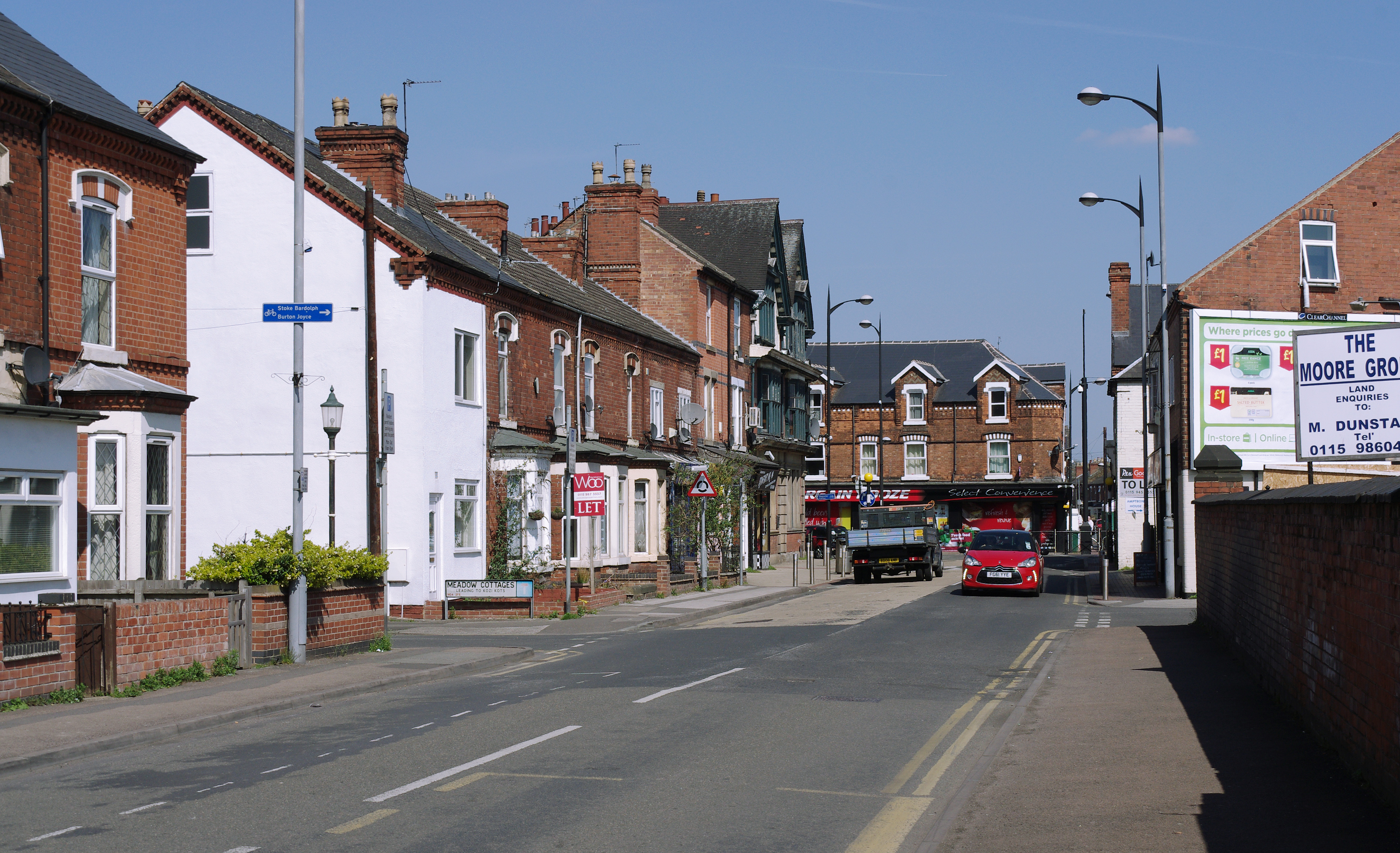
The village itself is primarily residential, with a mix of housing developments and traditional cottages. It has a close-knit community and a range of local amenities, including a post office, a convenience store, and several pubs and restaurants.
Colwick is also known for its horse racing heritage, as it is home to the Colwick Park Racecourse. Although the racecourse closed in 1965, it left behind a rich legacy, and the site now serves as a venue for various events and exhibitions throughout the year.
Overall, Colwick offers a peaceful and picturesque setting, combined with easy access to urban amenities, making it an attractive place to live for those seeking a balance between rural charm and convenience.
If you have any feedback on the listing, please let us know in the comments section below.
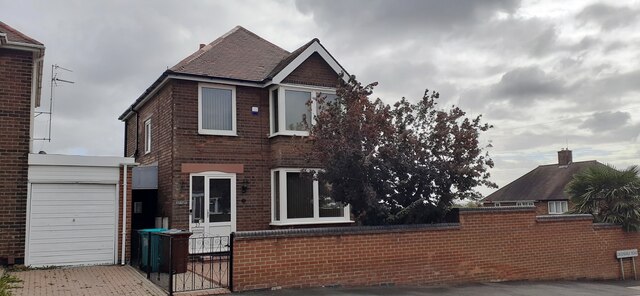
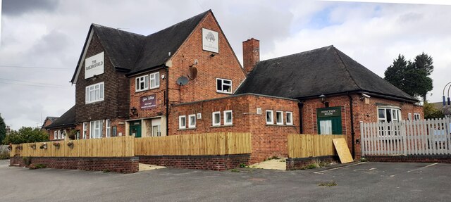
Colwick Images
Images are sourced within 2km of 52.956906/-1.078044 or Grid Reference SK6240. Thanks to Geograph Open Source API. All images are credited.
Colwick is located at Grid Ref: SK6240 (Lat: 52.956906, Lng: -1.078044)
Administrative County: Nottinghamshire
District: Gedling
Police Authority: Nottinghamshire
What 3 Words
///knots.duck.plot. Near Radcliffe on Trent, Nottinghamshire
Nearby Locations
Related Wikis

Greenwood Academies Trust
The Greenwood Academies Trust is a large multi-academy trust in England, centred around the Nottingham Academy, which was formerly the Greenwood Dale...

Netherfield railway station
Netherfield railway station (originally opened as Colwick and later known as Netherfield and Colwick) serves the town of Netherfield in the Borough of...
Netherfield, Nottinghamshire
Netherfield is a town in the Borough of Gedling in Nottinghamshire, England. It is situated to the east of Nottingham's city boundary and is approximately...

Colwick
Colwick ( KOL-ik) is a village, civil parish, in the Borough of Gedling in Nottinghamshire, England. It is situated to the east of Nottingham's city boundary...
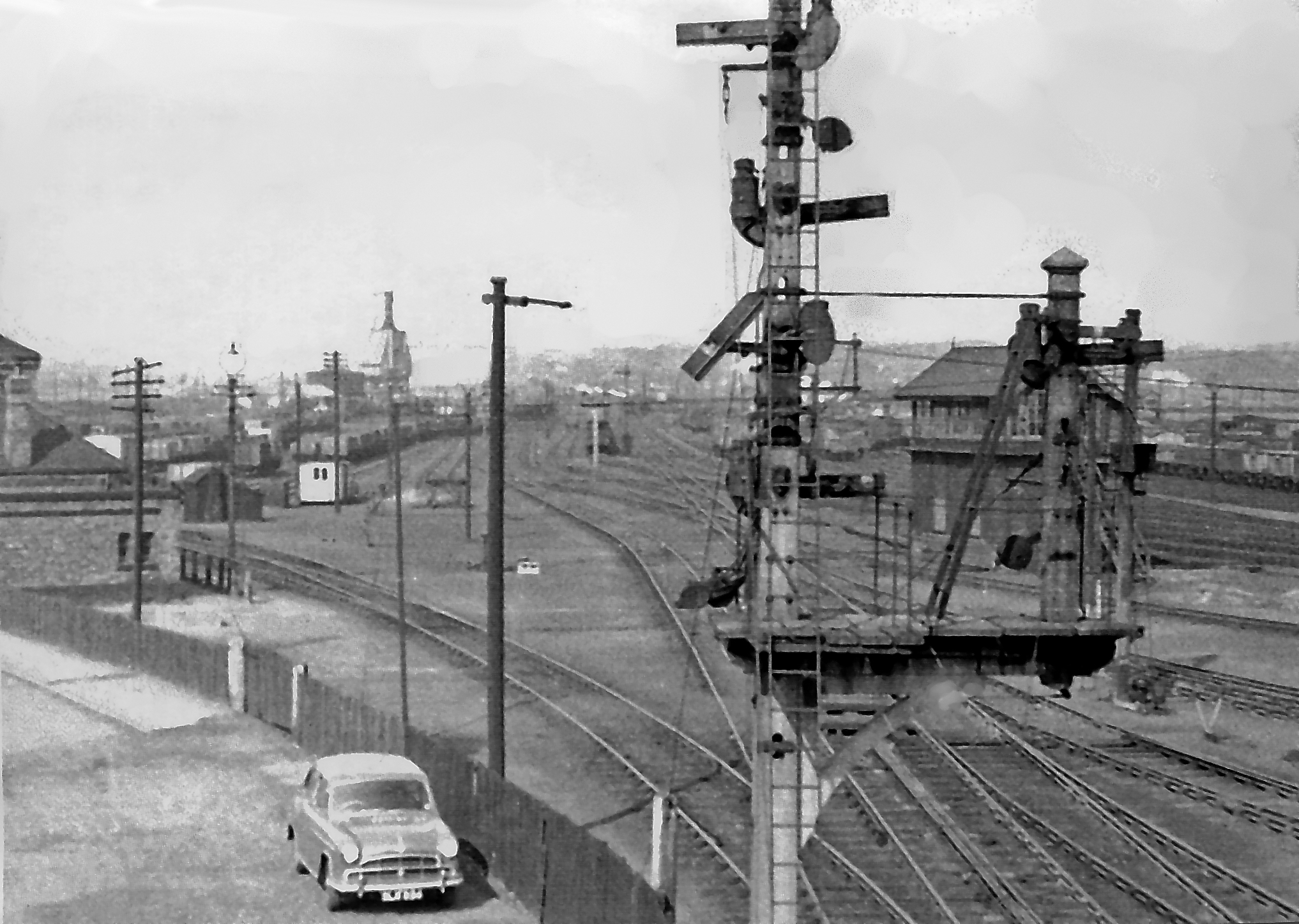
Colwick marshalling yard
Colwick marshalling yard, also known as Colwick sidings, was a large railway marshalling yard in Netherfield, Nottingham designed for the concentration...

Carlton railway station
Carlton railway station serves the town of Carlton, Nottinghamshire, England. The station is 3 miles (5 km) east of Nottingham on the Nottingham to Lincoln...

Holme Pierrepont Hall
Holme Pierrepont Hall is a medieval Manor House in Holme Pierrepont near Nottingham. It is a Grade I listed building. == History == The Pierrepont family...

National Cycle Route 15
National Cycle Route 15 is part of the National Cycle Network in the East Midlands which, when complete, will run from National Cycle Route 1 near Tattershall...
Nearby Amenities
Located within 500m of 52.956906,-1.078044Have you been to Colwick?
Leave your review of Colwick below (or comments, questions and feedback).