Colwich
Settlement in Staffordshire Stafford
England
Colwich

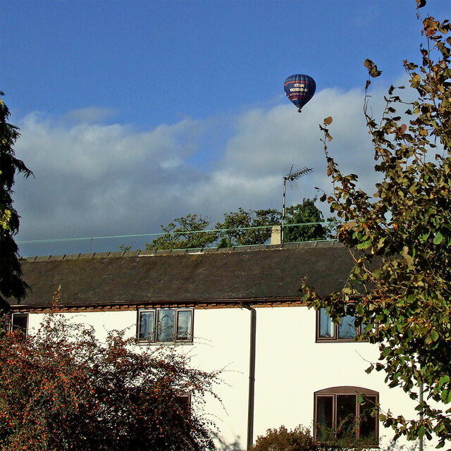
Colwich is a village located in the county of Staffordshire, in the West Midlands region of England. Situated approximately 6 miles north of the county town of Stafford, Colwich is a small yet vibrant community with a rich history.
The village is nestled on the banks of the River Trent, offering picturesque views and a tranquil atmosphere. It is known for its scenic countryside, with rolling hills and lush green fields surrounding the area, making it an ideal location for those seeking a peaceful retreat from the hustle and bustle of city life.
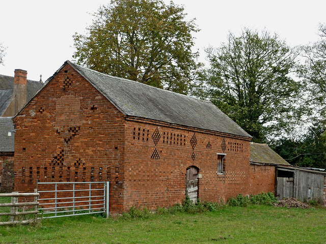
Colwich is home to a number of historic landmarks, including the Grade II listed Colwich Abbey. This 18th-century mansion was once a Benedictine abbey and now serves as a private residence. The village also boasts a 13th-century church, St. Michael and All Angels, which is well-preserved and worth a visit for its architectural beauty.
In terms of amenities, Colwich offers a range of services to cater to its residents' needs. These include a primary school, a post office, a village hall, and a local convenience store. The village is well-connected to neighboring towns and cities, with regular bus services and easy access to major road networks.
Overall, Colwich is a charming and idyllic village that offers a peaceful and close-knit community, surrounded by stunning natural beauty. It is a place where history meets modern convenience, making it an attractive destination for both residents and visitors alike.
If you have any feedback on the listing, please let us know in the comments section below.
Colwich Images
Images are sourced within 2km of 52.787323/-1.981151 or Grid Reference SK0121. Thanks to Geograph Open Source API. All images are credited.


Colwich is located at Grid Ref: SK0121 (Lat: 52.787323, Lng: -1.981151)
Administrative County: Staffordshire
District: Stafford
Police Authority: Staffordshire
What 3 Words
///altering.commenced.pillow. Near Colwich, Staffordshire
Related Wikis

Colwich, Staffordshire
Colwich is a civil parish and village in Staffordshire, England. It is situated off the A51 road, about 3 miles (5 km) north-west of Rugeley and 7 miles...
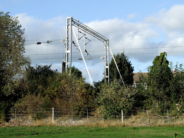
Colwich Junction
Colwich Junction is a rail junction near the village of Little Haywood, in the county of Staffordshire, England. It is the junction between two routes...

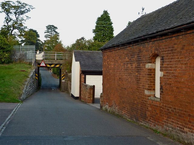
Colwich railway station
Colwich railway station is a disused railway station in Colwich, Staffordshire, England. The former station is adjacent to Colwich Junction, where the...
Colwich rail crash
The Colwich rail crash occurred on the evening of Friday 19 September 1986 at Colwich Junction, Staffordshire, England. It was significant in that it...
St Mary's Abbey, Colwich
Saint Mary's Abbey in Colwich, Staffordshire was a monastery of Roman Catholic nuns of the English Benedictine Congregation, founded in 1623 at Cambrai...
Little Haywood
Little Haywood is a village in Staffordshire, England. For population details as taken at the 2011 census see under Colwich. It lies beside a main arterial...

Wolseley Hall
Wolseley Hall was a stately home near the village of Colwich, in Staffordshire, England. It was demolished in 1966; the former gardens are now a nature...
Wolseley Centre
The Wolseley Centre is a visitor centre and nature reserve of the Staffordshire Wildlife Trust, in Staffordshire, England, about 2 miles (3 km) north-west...
Nearby Amenities
Located within 500m of 52.787323,-1.981151Have you been to Colwich?
Leave your review of Colwich below (or comments, questions and feedback).