Aber-cuch

Settlement in Pembrokeshire

Wales

Aber-cuch

B4332 at Blaen-morw
B4332 at Blaen-morw Credit: Colin Pyle

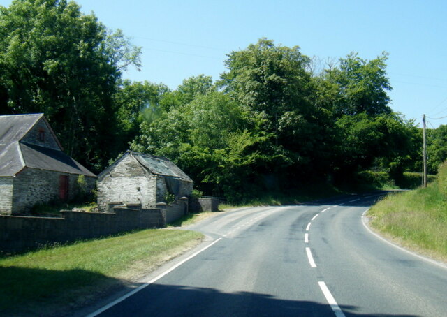
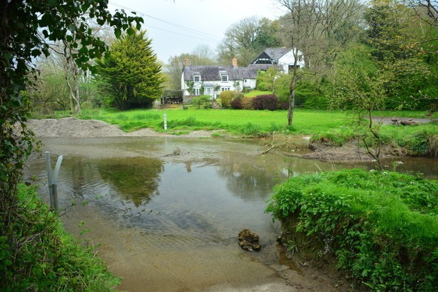
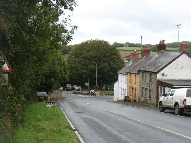
Aber-cuch is a small coastal village located in the county of Pembrokeshire, Wales. Situated on the western side of the country, it is nestled between the towns of Fishguard and Newport. The village is known for its picturesque setting, with stunning views of the Irish Sea and the surrounding rolling hills.

The main feature of Aber-cuch is its beautiful sandy beach, which stretches for over a mile and is popular with both locals and tourists alike. The beach is backed by dunes and offers ample space for sunbathing, picnicking, and various water activities such as swimming, surfing, and paddleboarding. It is also a great spot for birdwatching, as the area is home to a variety of coastal and seabirds.

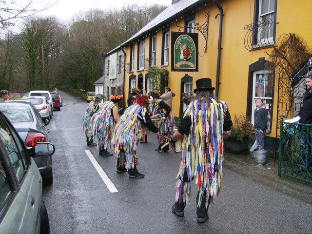
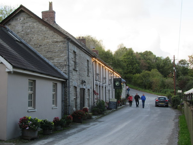
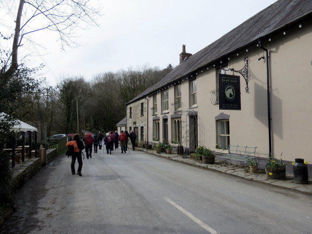
The village itself is small and charming, with a handful of traditional Welsh cottages and a few shops and cafes catering to the needs of visitors. The local community is friendly and welcoming, making Aber-cuch a popular destination for those seeking a peaceful and relaxing getaway.

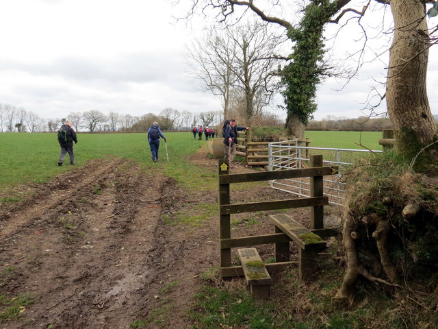
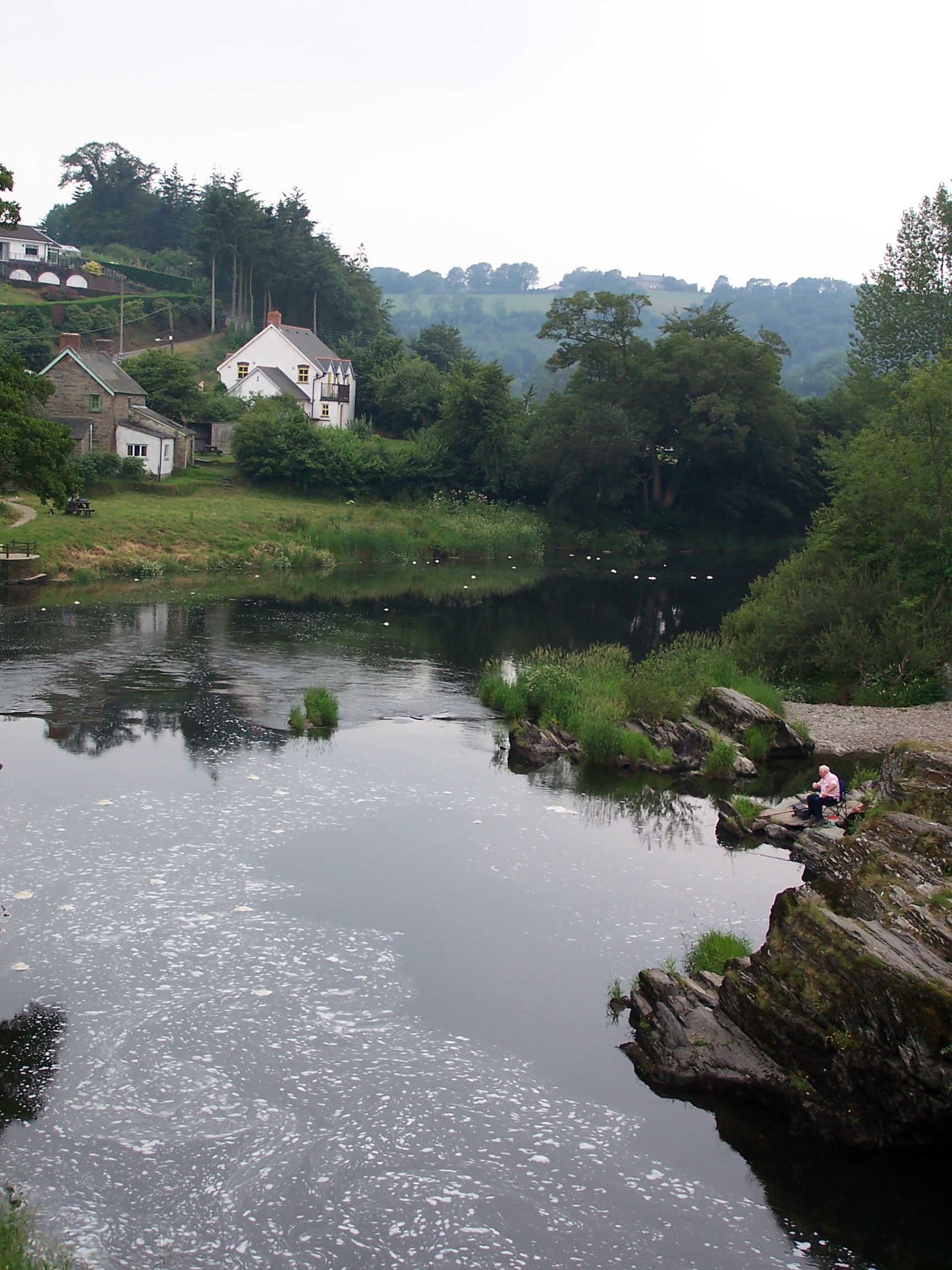
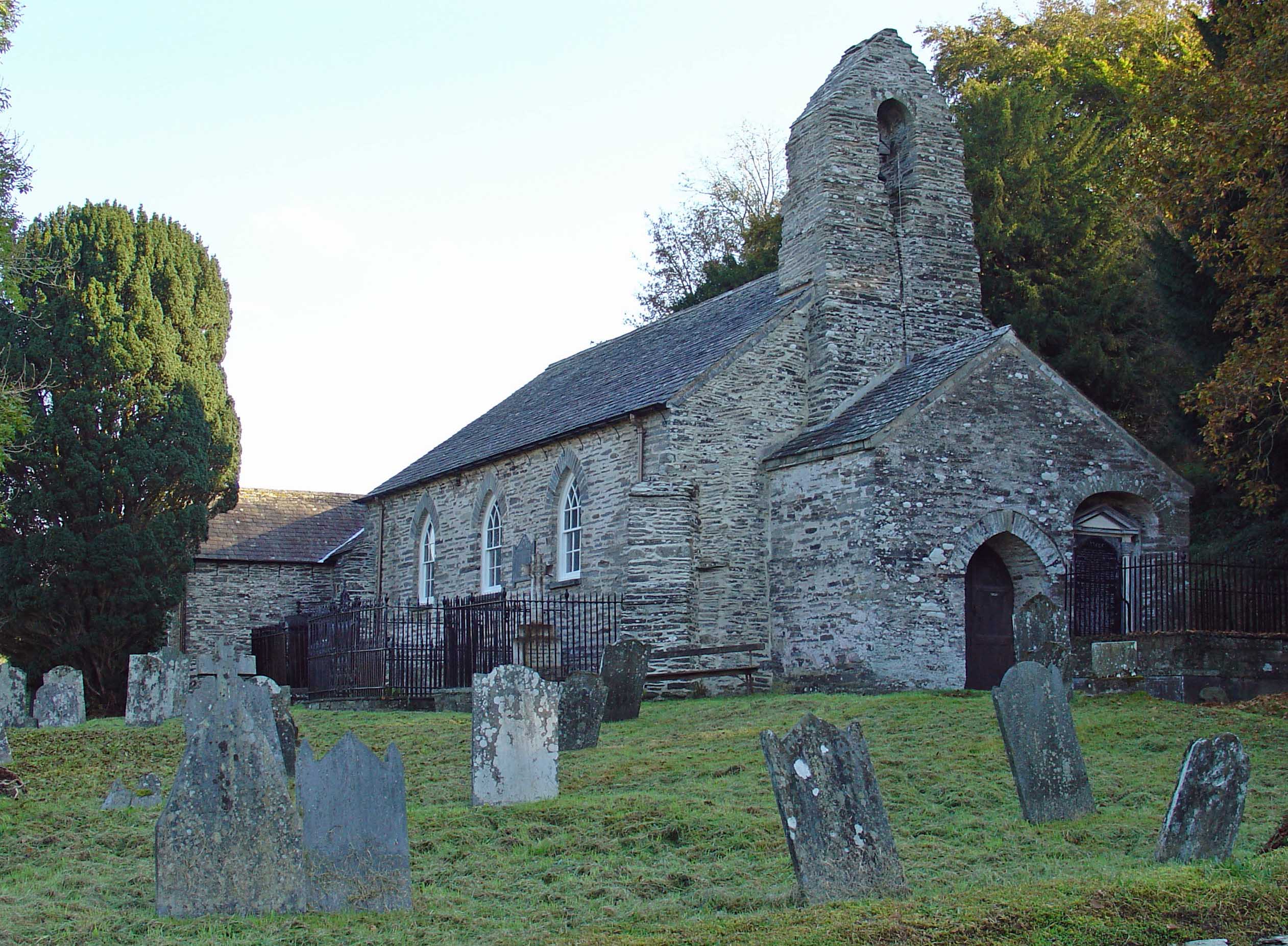
Nature enthusiasts will find plenty to explore in the surrounding area. The nearby Pembrokeshire Coast National Park offers breathtaking coastal walks and opportunities to spot seals, dolphins, and other marine life. Additionally, the village is close to several historical sites, including ancient burial mounds and standing stones, giving visitors a glimpse into the area's rich past.

Overall, Aber-cuch is a tranquil and idyllic village that offers visitors a chance to connect with nature, unwind by the sea, and experience the beauty of the Pembrokeshire coastline.

If you have any feedback on the listing, please let us know in the comments section below.
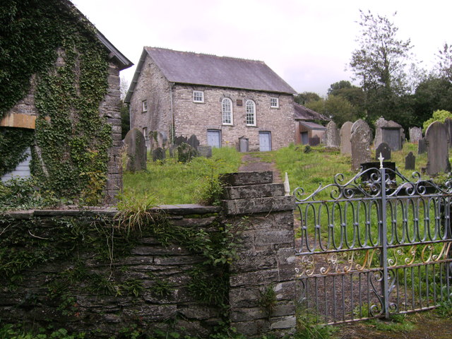
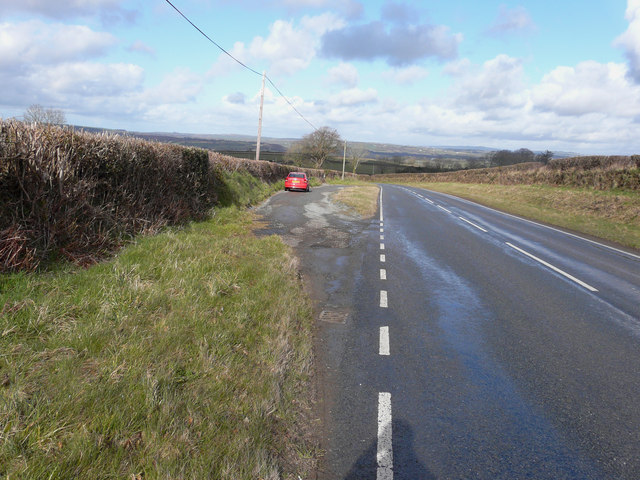
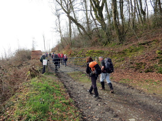
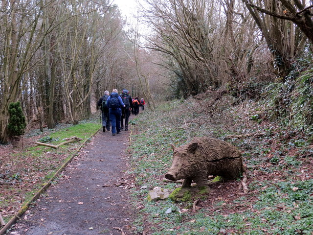
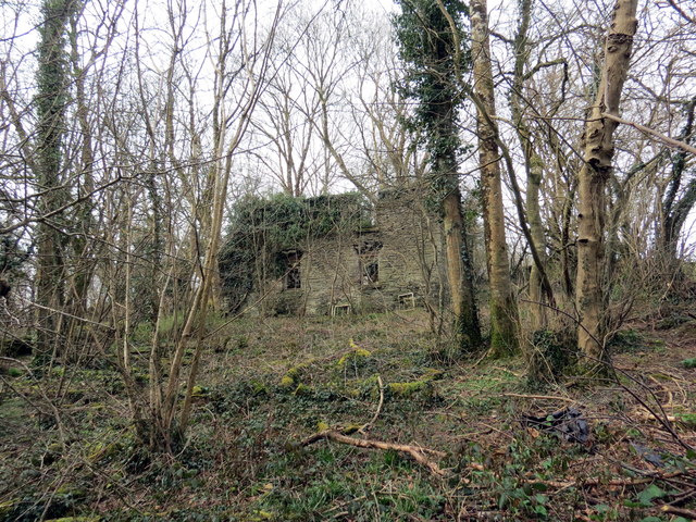
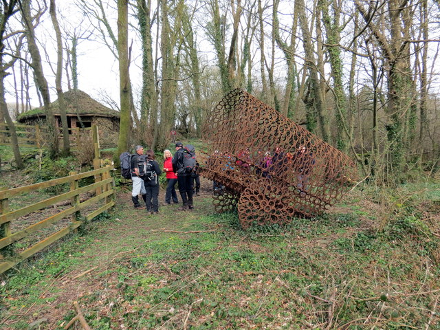
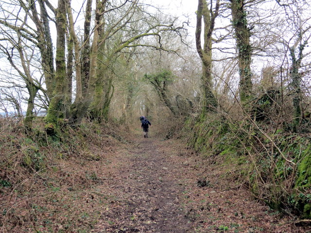
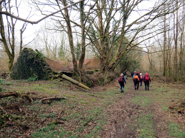
Aber-cuch Images

Images are sourced within 2km of 52.036902/-4.556349 or Grid Reference SN2440. Thanks to Geograph Open Source API. All images are credited.

B4332 at Blaen-morw
B4332 at Blaen-morw
New Years Day celebrations outside The Nag's Head Abercych Carreg-las Morris Dancers performing outside The Nag's Head, a fine hostelry, New Year's Day 2012.
New Years Day celebrations outside The Nag's Head Abercych
Carreg-las Morris Dancers performing outside The Nag's Head, a fine hostelry, New Year's Day 2012.
Holiday cabins, Aberdwylan
Nags Head Brewery Man with reflective bands around him!!! And a very nice drop of home-brewed beer served in the Nags Head pub next door.
Nags Head Brewery
Man with reflective bands around him!!! And a very nice drop of home-brewed beer served in the Nags Head pub next door.
Bryn Sion Plaque on Chapel wall reads (I think), Bryn Sion, Adeilodwyd 1831,  Adgyweirwyd 1870.
Bryn Sion
Plaque on Chapel wall reads (I think), Bryn Sion, Adeilodwyd 1831, Adgyweirwyd 1870.
Bryn Sion Capel Building on the left, could this be mortuary? as there is access from the road into the lower part of it and above this is a small room for tools and timber for the grave digger or groundsman, accessed from the graveyard.
Bryn Sion Capel
Building on the left, could this be mortuary? as there is access from the road into the lower part of it and above this is a small room for tools and timber for the grave digger or groundsman, accessed from the graveyard.
Lay-by on the B4332 I stopped here for yet another photo of a beautiful Welsh landscape.
Lay-by on the B4332
I stopped here for yet another photo of a beautiful Welsh landscape.
Ger Gelli-deg / Near Gelli-deg Cerddwyr yn dringo'r allt ger Gelli-deg.

Walkers ascending the wood near Gelli-deg (trans. fair grove).
Ger Gelli-deg / Near Gelli-deg
Cerddwyr yn dringo'r allt ger Gelli-deg. Walkers ascending the wood near Gelli-deg (trans. fair grove).
Allt Cil-Frychan Cerddwyr yn dilyn llwybr yn Allt Cil-Frychan.

Walkers following a path at Allt Cil-Frychan (trans. wood of Brychan's nook)
Allt Cil-Frychan
Cerddwyr yn dilyn llwybr yn Allt Cil-Frychan. Walkers following a path at Allt Cil-Frychan (trans. wood of Brychan's nook)
Pen-yr-allt-wen Gweddillion trist ty ffarm Pen-yr-allt-wen.

The sad remains of Pen-yr-allt-wen Farmhouse (trans. top of the fair wood).
Pen-yr-allt-wen
Gweddillion trist ty ffarm Pen-yr-allt-wen. The sad remains of Pen-yr-allt-wen Farmhouse (trans. top of the fair wood).
Ger Pen-yr-allt-wen / Near Pen-yr-allt-wen Cerflun da o bedolau ceffylau ger Ffarm Pen-yr-allt-wen.

A fine sculpture of horseshoes near Pen-yr-allt-wen Farm (trans. top of the fair wood)
Ger Pen-yr-allt-wen / Near Pen-yr-allt-wen
Cerflun da o bedolau ceffylau ger Ffarm Pen-yr-allt-wen. A fine sculpture of horseshoes near Pen-yr-allt-wen Farm (trans. top of the fair wood)
Llwybr Gelli-deg / Gelli-deg Path Llwybr cyhoeddus yn mynd i gyfeiriad Gelli-deg.

A public footpath heading in the direction of Gelli-deg (trans. fair grove).
Llwybr Gelli-deg / Gelli-deg Path
Llwybr cyhoeddus yn mynd i gyfeiriad Gelli-deg. A public footpath heading in the direction of Gelli-deg (trans. fair grove).
Gelli-deg Llwybr cyhoeddus yn mynd heibio i dai mas adfeiliedig Ffarm Gelli-deg.

Public footpath passing the ruinous outhouses of Gelli-deg Farm (trans. fair grove).
Gelli-deg
Llwybr cyhoeddus yn mynd heibio i dai mas adfeiliedig Ffarm Gelli-deg. Public footpath passing the ruinous outhouses of Gelli-deg Farm (trans. fair grove).
Llwybr ger Plas Ffynhonnau / Path near Ffynnone Mansion Llwybr cyhoeddus ger Plas Ffynhonnau.

A public footpath near Ffynnone Mansion (trans. springs)
Llwybr ger Plas Ffynhonnau / Path near Ffynnone Mansion
Llwybr cyhoeddus ger Plas Ffynhonnau. A public footpath near Ffynnone Mansion (trans. springs)
The Nag's Head and adjacent buildings The nearer buildings are in the square; the far end of the pub is not.
The Nag's Head and adjacent buildings
The nearer buildings are in the square; the far end of the pub is not.
Abercych Cerddwyr yn mynd heibio i Dafarn y Nags Head.

Walkers passing the Nags Head.
Abercych
Cerddwyr yn mynd heibio i Dafarn y Nags Head. Walkers passing the Nags Head.
Abercych Ford This ford on Afon Cych is found at Forge-Cych. A video of the ford being crossed can be seen at:
<span class="nowrap"><a title="https://youtu.be/JsHvp5xnWIc" rel="nofollow ugc noopener" href="https://youtu.be/JsHvp5xnWIc">Link</a><img style="margin-left:2px;" alt="External link" title="External link - shift click to open in new window" src="https://s1.geograph.org.uk/img/external.png" width="10" height="10"/></span>
Abercych Ford
This ford on Afon Cych is found at Forge-Cych. A video of the ford being crossed can be seen at: LinkExternal link
The B4332 in Penrhiw A sharp bend on a fairly steep hill. The minor road straight ahead leads to Abercych.
The B4332 in Penrhiw
A sharp bend on a fairly steep hill. The minor road straight ahead leads to Abercych.
Show me another place!

Aber-cuch is located at Grid Ref: SN2440 (Lat: 52.036902, Lng: -4.556349)

Unitary Authority: Pembrokeshire

Police Authority: Dyfed Powys

Also known as: Abercych

What 3 Words

///rungs.lungs.currently. Near Newcastle Emlyn, Ceredigion

Related Wikis

Abercych

Abercych (or Abercuch, Welsh pronunciation: [ɑbərkiːx]) is a small village in the community of Manordeifi, northeast Pembrokeshire in South West Wales...

Pont Treseli

Pont Treseli or Pont Tre-seli is a Grade II-listed single-arch stone bridge spanning Afon Cych at Abercych, Pembrokeshire, Wales. It carries the B4332...

Cemaes Rural District

Cemaes Rural District was an administrative subdivision of Pembrokeshire, Wales from 1934 to 1974. == Name == The district's name is that of its northernmost...

Rhyd, Ceredigion

Rhyd, Ceredigion is a hamlet in the community of Beulah, Ceredigion, Wales, which is 71.1 miles (114.4 km) from Cardiff and 192.9 miles (310.4 km) from...

Cenarth

Cenarth () is a village, parish and community in Carmarthenshire, on the border between Ceredigion and Carmarthenshire, and close to the border with Pembrokeshire...

National Coracle Centre

The National Coracle Centre is a museum in Cenarth, Carmarthenshire dedicated to coracles. It is owned by Martin Fowler and entry is via the wall of his...

Manordeifi

Manordeifi (Welsh: Maenordeifi) is a parish and community in the hundred of Cilgerran, in the northeast corner of Pembrokeshire, Wales. The population...
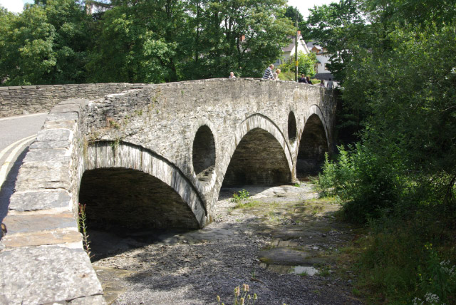
Cenarth Bridge

Cenarth Bridge (Welsh: Pont Cenarth), also spelt Kenarth Bridge, is a three arch bridge which spans the River Teifi at Cenarth, Carmarthenshire in Wales...

Nearby Amenities

Located within 500m of 52.036902,-4.556349
Abercych
Is In: Pembrokeshire,Wales,UK
Place: village
Wikidata: Q4666839
Wikipedia: en:Abercych
Lat/Long: 52.0375616/-4.55641
Note: Post Office closed and replaced by a mobile service which parks at the village hall.
Source: OS OpenData StreetView
Was Amenity: post_office
Lat/Long: 52.0394463/-4.5561441
Power: pole
Lat/Long: 52.0373895/-4.5553832
Power: pole
Lat/Long: 52.0365711/-4.554262
Power: pole
Lat/Long: 52.036284/-4.5505874
Power: pole
Lat/Long: 52.0365084/-4.5533715
Power: pole
Lat/Long: 52.0381584/-4.5564346
Power: pole
Lat/Long: 52.0388745/-4.5576148
Power: pole
Lat/Long: 52.0342439/-4.562202
Power: pole
Lat/Long: 52.0348092/-4.5613623
Power: pole
Lat/Long: 52.0353932/-4.5605247
Power: pole
Lat/Long: 52.0360709/-4.5595002
Power: pole
Lat/Long: 52.0364743/-4.5589115
Power: pole
Lat/Long: 52.0368538/-4.5583613
Power: pole
Lat/Long: 52.0374149/-4.5575306
Power: pole
Lat/Long: 52.0378886/-4.5568281
Power: pole
Lat/Long: 52.038199/-4.5557657
Power: pole
Lat/Long: 52.0384484/-4.5549019
Power: pole
Lat/Long: 52.0387011/-4.5539988
Power: pole
Lat/Long: 52.038755/-4.5537065
Power: pole
Lat/Long: 52.0389522/-4.5525648
Power: pole
Lat/Long: 52.0402988/-4.5600568
Power: pole
Lat/Long: 52.0392779/-4.5504943
Power: pole
Lat/Long: 52.0388097/-4.5534971
Ford: yes
Image: https://www.geograph.org.uk/photo/6135441
Lat/Long: 52.0407174/-4.5541662
Barrier: stile
Fixme: Is this a stile and is it really at this point?
Lat/Long: 52.0355584/-4.5611165
Direction: SW
Generator Method: photovoltaic
Generator Output Electricity: yes
Generator Solar Modules: 16
Generator Source: solar
Generator Type: solar_photovoltaic_panel
Location: roof
Power: generator
Lat/Long: 52.0391152/-4.5552117
Direction: WSW
Generator Method: photovoltaic
Generator Output Electricity: yes
Generator Solar Modules: 7
Generator Source: solar
Generator Type: solar_photovoltaic_panel
Location: roof
Power: generator
Lat/Long: 52.0386285/-4.5551218
Direction: SSE
Generator Method: photovoltaic
Generator Output Electricity: yes
Generator Solar Modules: 5
Generator Source: solar
Generator Type: solar_photovoltaic_panel
Location: roof
Power: generator
Lat/Long: 52.0385699/-4.5551285
The data included in this document is from www.openstreetmap.org. The data is made available under ODbL.

Have you been to Aber-cuch?

Leave your review of Aber-cuch below (or comments, questions and feedback).