Penrhiw

Settlement in Pembrokeshire

Wales

Penrhiw

B4332 at Blaen-morw
B4332 at Blaen-morw Credit: Colin Pyle

The requested URL returned error: 429 Too Many Requests

If you have any feedback on the listing, please let us know in the comments section below.
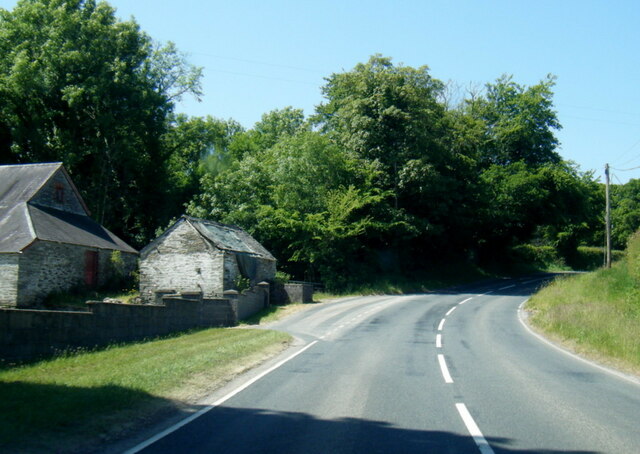
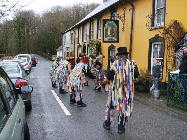
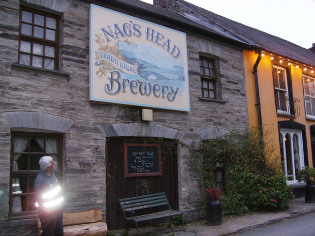
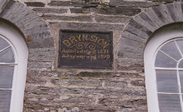
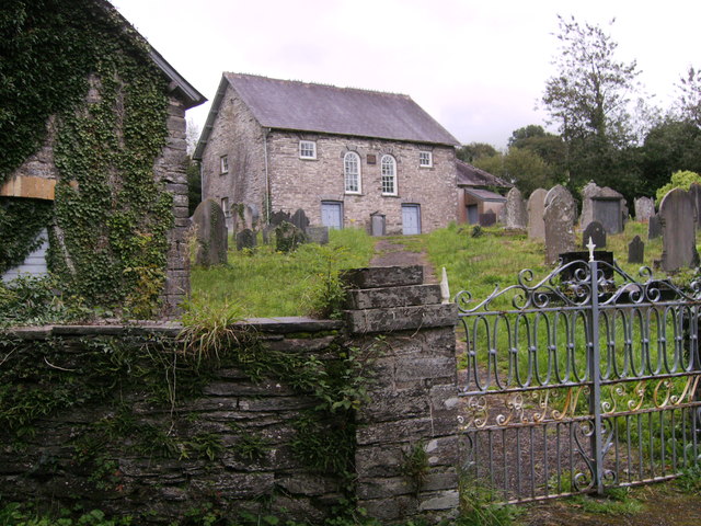
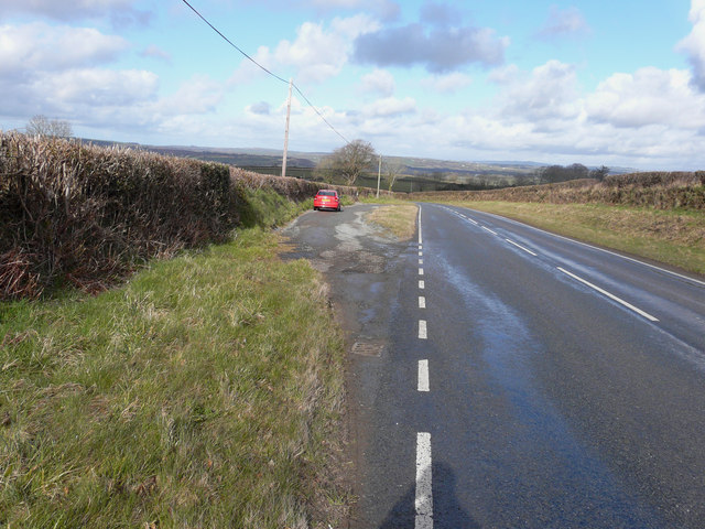
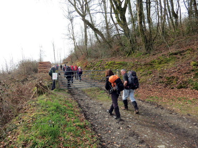
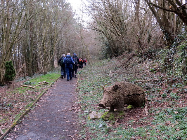
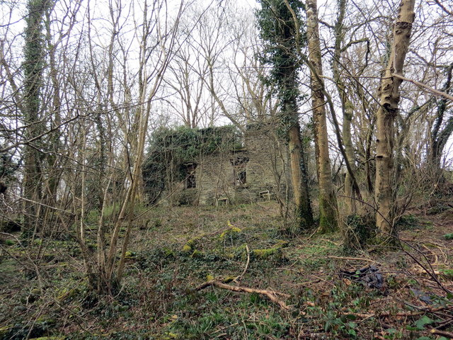
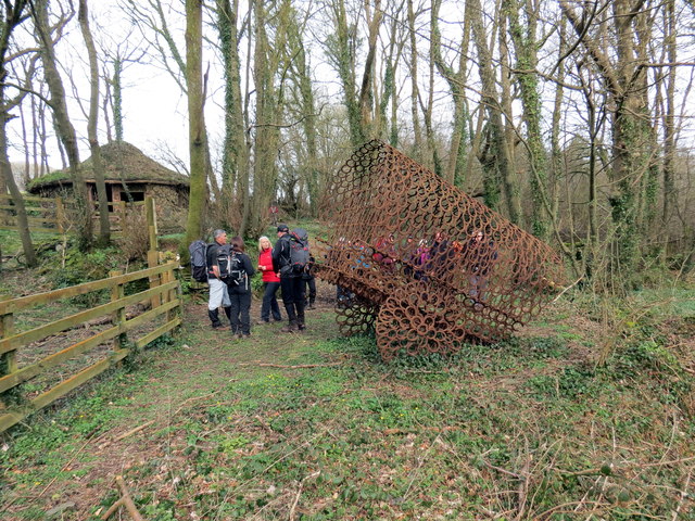
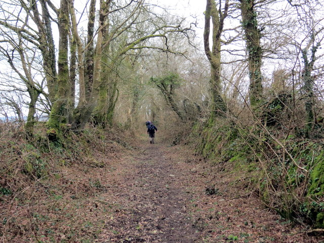
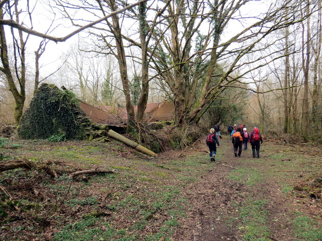
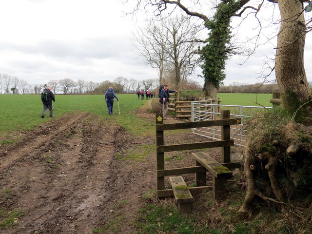
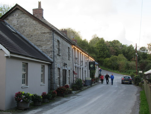
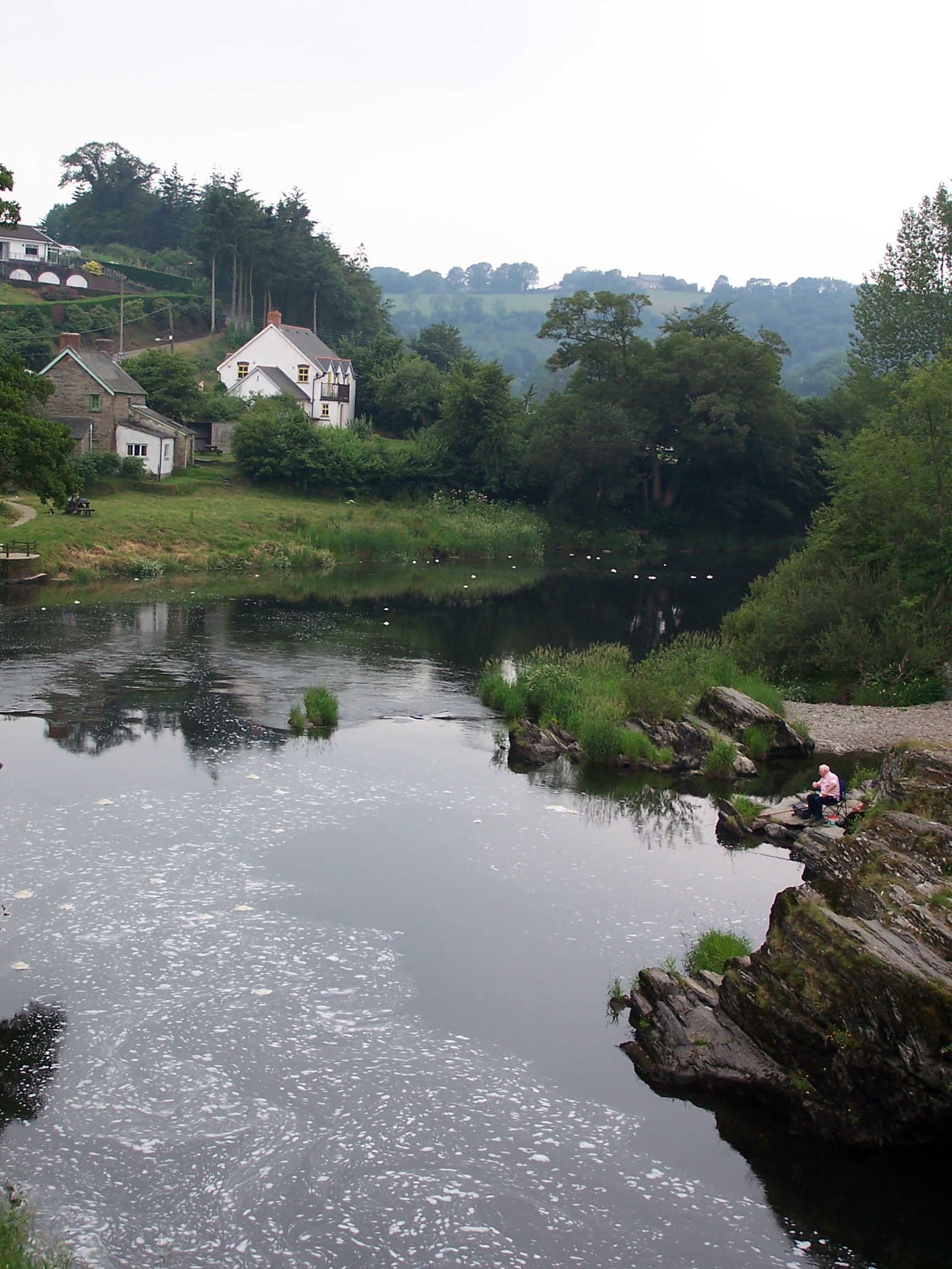
Penrhiw Images

Images are sourced within 2km of 52.032545/-4.554059 or Grid Reference SN2440. Thanks to Geograph Open Source API. All images are credited.

B4332 at Blaen-morw
B4332 at Blaen-morw
New Years Day celebrations outside The Nag's Head Abercych Carreg-las Morris Dancers performing outside The Nag's Head, a fine hostelry, New Year's Day 2012.
New Years Day celebrations outside The Nag's Head Abercych
Carreg-las Morris Dancers performing outside The Nag's Head, a fine hostelry, New Year's Day 2012.
Holiday cabins, Aberdwylan
Entrance through trees to Glandulais This entrance looks like it is not used often, photo taken from bridge on road. Glandulais is not shown on the map!
Entrance through trees to Glandulais
This entrance looks like it is not used often, photo taken from bridge on road. Glandulais is not shown on the map!
Bridge over Afon Dulais Small tributary of the Afon Cych, at Pont Dulais.
Bridge over Afon Dulais
Small tributary of the Afon Cych, at Pont Dulais.
Nags Head Brewery Man with reflective bands around him!!! And a very nice drop of home-brewed beer served in the Nags Head pub next door.
Nags Head Brewery
Man with reflective bands around him!!! And a very nice drop of home-brewed beer served in the Nags Head pub next door.
Bryn Sion Plaque on Chapel wall reads (I think), Bryn Sion, Adeilodwyd 1831,  Adgyweirwyd 1870.
Bryn Sion
Plaque on Chapel wall reads (I think), Bryn Sion, Adeilodwyd 1831, Adgyweirwyd 1870.
Bryn Sion Capel Building on the left, could this be mortuary? as there is access from the road into the lower part of it and above this is a small room for tools and timber for the grave digger or groundsman, accessed from the graveyard.
Bryn Sion Capel
Building on the left, could this be mortuary? as there is access from the road into the lower part of it and above this is a small room for tools and timber for the grave digger or groundsman, accessed from the graveyard.
Lay-by on the B4332 I stopped here for yet another photo of a beautiful Welsh landscape.
Lay-by on the B4332
I stopped here for yet another photo of a beautiful Welsh landscape.
Ger Gelli-deg / Near Gelli-deg Cerddwyr yn dringo'r allt ger Gelli-deg.

Walkers ascending the wood near Gelli-deg (trans. fair grove).
Ger Gelli-deg / Near Gelli-deg
Cerddwyr yn dringo'r allt ger Gelli-deg. Walkers ascending the wood near Gelli-deg (trans. fair grove).
Allt Cil-Frychan Cerddwyr yn dilyn llwybr yn Allt Cil-Frychan.

Walkers following a path at Allt Cil-Frychan (trans. wood of Brychan's nook)
Allt Cil-Frychan
Cerddwyr yn dilyn llwybr yn Allt Cil-Frychan. Walkers following a path at Allt Cil-Frychan (trans. wood of Brychan's nook)
Pen-yr-allt-wen Gweddillion trist ty ffarm Pen-yr-allt-wen.

The sad remains of Pen-yr-allt-wen Farmhouse (trans. top of the fair wood).
Pen-yr-allt-wen
Gweddillion trist ty ffarm Pen-yr-allt-wen. The sad remains of Pen-yr-allt-wen Farmhouse (trans. top of the fair wood).
Ger Pen-yr-allt-wen / Near Pen-yr-allt-wen Cerflun da o bedolau ceffylau ger Ffarm Pen-yr-allt-wen.

A fine sculpture of horseshoes near Pen-yr-allt-wen Farm (trans. top of the fair wood)
Ger Pen-yr-allt-wen / Near Pen-yr-allt-wen
Cerflun da o bedolau ceffylau ger Ffarm Pen-yr-allt-wen. A fine sculpture of horseshoes near Pen-yr-allt-wen Farm (trans. top of the fair wood)
Llwybr Gelli-deg / Gelli-deg Path Llwybr cyhoeddus yn mynd i gyfeiriad Gelli-deg.

A public footpath heading in the direction of Gelli-deg (trans. fair grove).
Llwybr Gelli-deg / Gelli-deg Path
Llwybr cyhoeddus yn mynd i gyfeiriad Gelli-deg. A public footpath heading in the direction of Gelli-deg (trans. fair grove).
Gelli-deg Llwybr cyhoeddus yn mynd heibio i dai mas adfeiliedig Ffarm Gelli-deg.

Public footpath passing the ruinous outhouses of Gelli-deg Farm (trans. fair grove).
Gelli-deg
Llwybr cyhoeddus yn mynd heibio i dai mas adfeiliedig Ffarm Gelli-deg. Public footpath passing the ruinous outhouses of Gelli-deg Farm (trans. fair grove).
Llwybr ger Plas Ffynhonnau / Path near Ffynnone Mansion Llwybr cyhoeddus ger Plas Ffynhonnau.

A public footpath near Ffynnone Mansion (trans. springs)
Llwybr ger Plas Ffynhonnau / Path near Ffynnone Mansion
Llwybr cyhoeddus ger Plas Ffynhonnau. A public footpath near Ffynnone Mansion (trans. springs)
The Nag's Head and adjacent buildings The nearer buildings are in the square; the far end of the pub is not.
The Nag's Head and adjacent buildings
The nearer buildings are in the square; the far end of the pub is not.
Ordnance Survey Cut Mark This OS cut mark can be found on the gatepost of Ffynnonau Farm. It marks a point 131.473m above mean sea level.
Ordnance Survey Cut Mark
This OS cut mark can be found on the gatepost of Ffynnonau Farm. It marks a point 131.473m above mean sea level.
Show me another place!

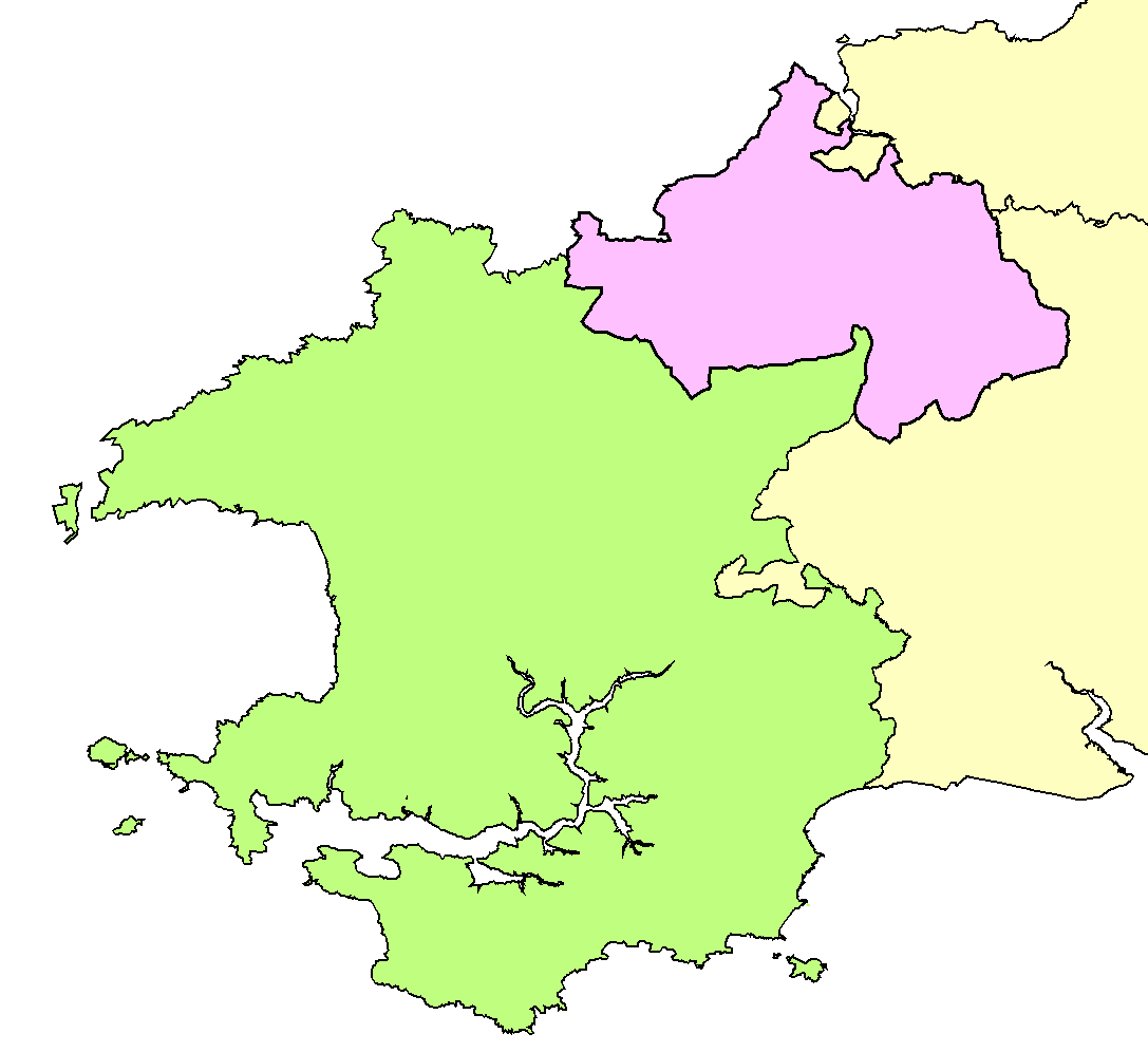
Penrhiw is located at Grid Ref: SN2440 (Lat: 52.032545, Lng: -4.554059)

Unitary Authority: Pembrokeshire

Police Authority: Dyfed Powys

Also known as: Pen-rhiw

What 3 Words

///revolting.ecologist.frock. Near Newcastle Emlyn, Ceredigion

Related Wikis

Pont Treseli

Pont Treseli or Pont Tre-seli is a Grade II-listed single-arch stone bridge spanning Afon Cych at Abercych, Pembrokeshire, Wales. It carries the B4332...

Abercych

Abercych (or Abercuch, Welsh pronunciation: [ɑbərkiːx]) is a small village in the community of Manordeifi, northeast Pembrokeshire in South West Wales...

Cemaes Rural District

Cemaes Rural District was an administrative subdivision of Pembrokeshire, Wales from 1934 to 1974. == Name == The district's name is that of its northernmost...

Cenarth

Cenarth () is a village, parish and community in Carmarthenshire, on the border between Ceredigion and Carmarthenshire, and close to the border with Pembrokeshire...

Nearby Amenities

Located within 500m of 52.032545,-4.554059
Penrhiw
Is In: Pembrokeshire,Wales,UK
Place: neighbourhood
Source: npe
Lat/Long: 52.0324778/-4.5538319
Power: pole
Lat/Long: 52.0329179/-4.5481787
Power: pole
Lat/Long: 52.0365711/-4.554262
Power: pole
Lat/Long: 52.034073/-4.5490049
Power: pole
Lat/Long: 52.036284/-4.5505874
Power: pole
Lat/Long: 52.0365084/-4.5533715
Pub
Penrhiw Inn
Addr Postcode: SA37 0HA
Fhrs Id: 856320
Source Addr Postcode: FHRS Open Data
Wikidata: Q80582028
Lat/Long: 52.0329867/-4.5525396
Pub
Nag's Head Inn
Addr City: Abercych
Addr Postcode: SA37 0HJ
Facebook: https://www.facebook.com/nagspub2/
Fhrs Id: 856319
Internet Access: wlan
Internet Access Fee: customers
Microbrewery: yes
Phone: +44 1239 841200
Smoking: outside
Source Addr Postcode: FHRS Open Data
Website: https://nagsheadabercych.co.uk/
Wikidata: Q80856025
Wikimedia Commons: File:160317 Nags Head Abercych (Tony Holkham).JPG
Lat/Long: 52.0309421/-4.5515801
Give Way
Direction: backward
Lat/Long: 52.03116/-4.5515321
Give Way
Direction: backward
Lat/Long: 52.0308838/-4.5499611
Give Way
Direction: backward
Lat/Long: 52.031846/-4.5468619
Pontseli
Alt Name: Pontselli
Note: Despite claims in Wikipedia, Pontseli (aka Pont Treseli) is not considered to be part of Abercych. Nearby properties have Pontselli, not Abercych, in their address. Although the spelling "Pontselli" is often seen, the correct speklling is "Pontseli."
Old Name: Pont Treseli
Place: hamlet
Lat/Long: 52.0313207/-4.5496618
Restaurant
Addr City: Abercych
Addr Postcode: SA37 0HJ
Facebook: https://www.facebook.com/nagspub2/
Internet Access: wlan
Internet Access Fee: customers
Microbrewery: yes
Phone: +44 1239 841200
Smoking: outside
Website: https://nagsheadabercych.co.uk/en/food-drink/
Wikimedia Commons: File:160317 Nags Head Abercych (Tony Holkham).JPG
Lat/Long: 52.0308754/-4.5516587
Addr City: Abercych
Addr Postcode: SA37 0HJ
Facebook: https://www.facebook.com/nagspub2/
Guest House: bed_and_breakfast
Internet Access: wlan
Internet Access Fee: customers
Operator: Nag's Head Inn
Phone: +44 1239 841200
Rooms: 3
Smoking: outside
Tourism: guest_house
Url: https://nagsheadabercych.co.uk/en/bedrooms/
Lat/Long: 52.0308192/-4.5515474
The data included in this document is from www.openstreetmap.org. The data is made available under ODbL.

Have you been to Penrhiw?

Leave your review of Penrhiw below (or comments, questions and feedback).