Abercrombie

Settlement in Fife

Scotland

Abercrombie

Arable Land St Monans Arable land west of St Monans
Arable Land St Monans Credit: edward mcmaihin

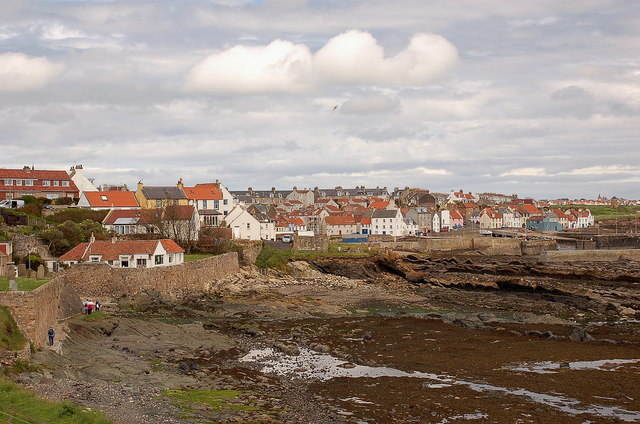
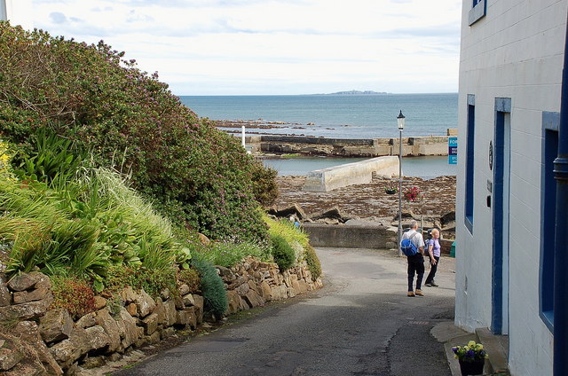
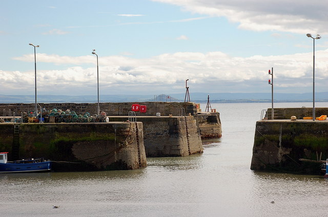
Abercrombie is a small village located in the region of Fife, in Scotland. Situated on the eastern coast of the country, Abercrombie offers stunning views of the North Sea and is surrounded by picturesque countryside. It is located approximately 5 miles south of Cupar and 15 miles northeast of the city of Kirkcaldy.

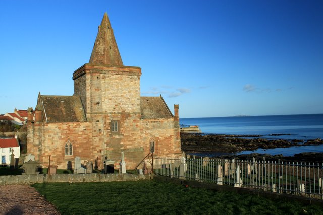
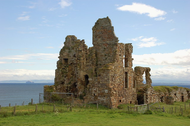
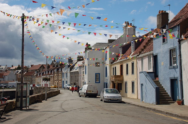
The village is known for its charming and peaceful atmosphere, making it an ideal destination for those seeking a tranquil retreat from the hustle and bustle of city life. Abercrombie is rich in history, with its origins dating back to medieval times. The village features several historical buildings, including Abercrombie House, a traditional Scottish manor house that dates back to the 16th century. The house is well-preserved and offers visitors a glimpse into the past.

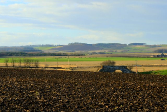
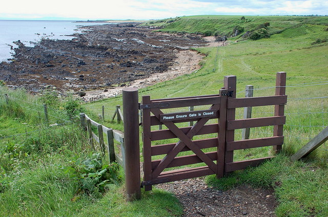
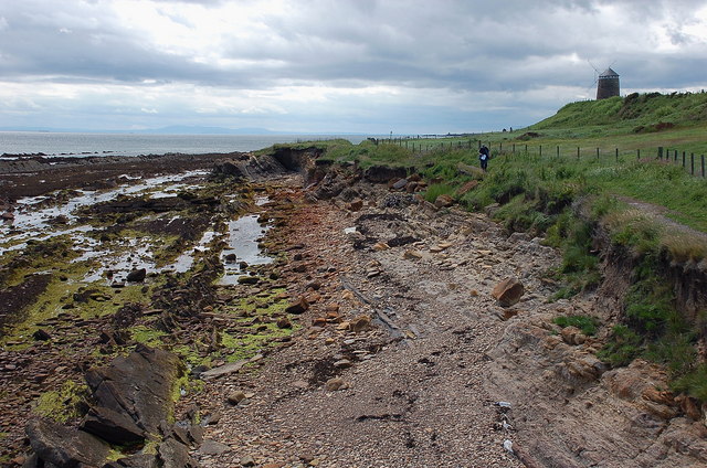
Nature enthusiasts will appreciate the beautiful surroundings of Abercrombie, as it is situated near the Lomond Hills Regional Park. The park offers a range of outdoor activities, such as hiking, cycling, and birdwatching. Additionally, the nearby coast provides opportunities for beach walks and water sports.

Despite its small size, Abercrombie has a close-knit community and offers a few amenities for residents and visitors. These include a local pub, a community center, and a small convenience store. For more extensive shopping and entertainment options, nearby towns such as Cupar and Kirkcaldy are easily accessible.

Overall, Abercrombie is a charming village that combines natural beauty with historical significance, making it an appealing destination for those seeking a peaceful retreat in the heart of Fife.

If you have any feedback on the listing, please let us know in the comments section below.
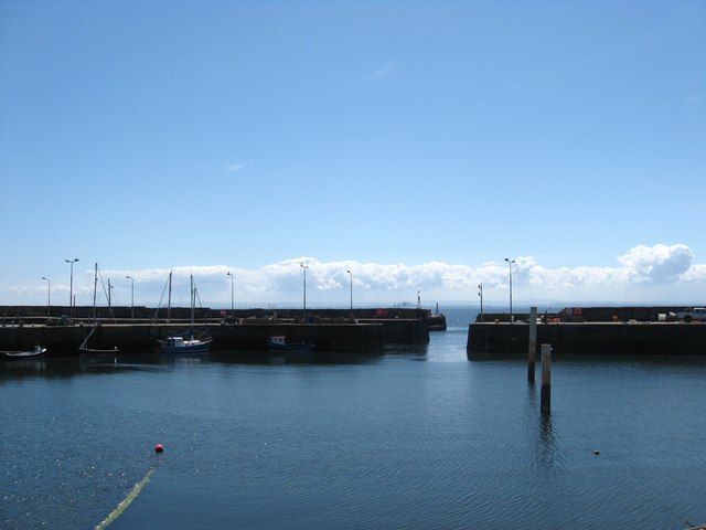
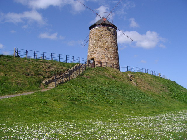
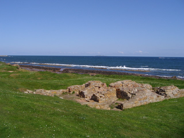
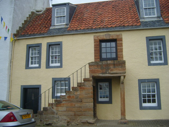
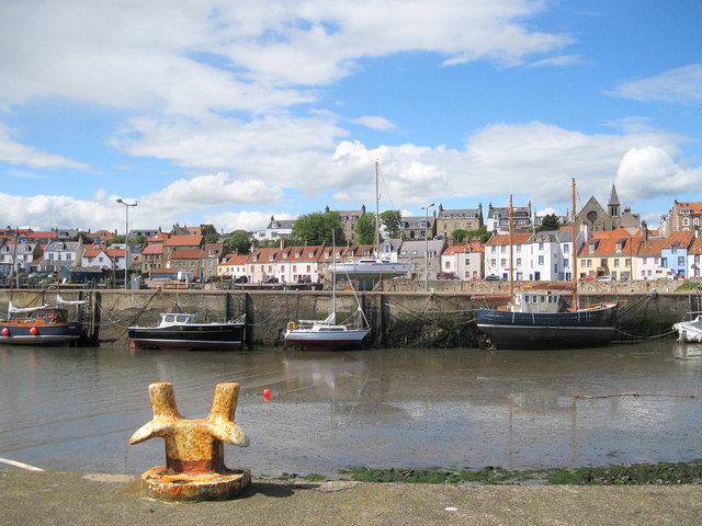
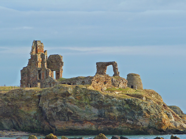
Abercrombie Images

Images are sourced within 2km of 56.215784/-2.778991 or Grid Reference NO5102. Thanks to Geograph Open Source API. All images are credited.

Arable Land St Monans Arable land west of St Monans
Arable Land St Monans
Arable land west of St Monans
St Monans Kirk Church close to the shore at St Monans.
St Monans Kirk
Church close to the shore at St Monans.
Inch Farm The hill in the background is Kellie Law.
Inch Farm
The hill in the background is Kellie Law.
Lobster Pots at St. Monance harbour
Newark Castle The remains date from the 17th century, but are on the site of much a older castle. Bass Rock can be seen to the left.
Newark Castle
The remains date from the 17th century, but are on the site of much a older castle. Bass Rock can be seen to the left.
Fife Coast path at Newark The path passes close by Newark Castle at this point.
Fife Coast path at Newark
The path passes close by Newark Castle at this point.
St Monans Approaching the village by the low tide option of the Fife Coast path. The kirk is out of shot just to the left.
St Monans
Approaching the village by the low tide option of the Fife Coast path. The kirk is out of shot just to the left.
Old water supply, St Monans The hydrant was one of several in the village, dating from 1883 when piped water was introduced. They were in use until the late 1930s. The plaque is shown in closeup in <a href="https://www.geograph.org.uk/photo/2474950">NO5201 : Plaque above the old water supply, St Monans</a>.
Old water supply, St Monans
The hydrant was one of several in the village, dating from 1883 when piped water was introduced. They were in use until the late 1930s. The plaque is shown in closeup in NO5201 : Plaque above the old water supply, St Monans.
Plaque above the old water supply, St Monans The plaque is above the hydrant shown in <a href="https://www.geograph.org.uk/photo/2474948">NO5201 : Old water supply, St Monans</a>.
Plaque above the old water supply, St Monans
The plaque is above the hydrant shown in NO5201 : Old water supply, St Monans.
A lane in St Monans On the way to the harbour, with the Isle of May on the horizon.
A lane in St Monans
On the way to the harbour, with the Isle of May on the horizon.
Harbour mouth, St Monans North Berwick Law is in view straight across the Forth.
Harbour mouth, St Monans
North Berwick Law is in view straight across the Forth.
Seafront houses at St Monans Bunting adding to the already colourful scene of the houses overlooking the harbour.
Seafront houses at St Monans
Bunting adding to the already colourful scene of the houses overlooking the harbour.
Fife Coast path east of St Monans The windmill was once used to pump seawater up into salt pans for salt extraction, at one time an important industry around the Forth coast.
Fife Coast path east of St Monans
The windmill was once used to pump seawater up into salt pans for salt extraction, at one time an important industry around the Forth coast.
St. Monans Harbour On the Fife's Forth coast.
St. Monans Harbour
On the Fife's Forth coast.
Windmill, St Monans A legacy of the salt industry which once operated in St Monans.
Windmill, St Monans
A legacy of the salt industry which once operated in St Monans.
Salt pans, St Monans Although salt pans were operating in St Monans in the seventeenth century, the remains of the salt pans which can be seen on this stretch of the Fife Coastal Path belong to the late eighteenth century and were established by the Newark Coal and Saltwork Company.  This company was founded in 1771 by Sir John Anstruther, and the Dunbar merchant, Robert Fall.
Salt pans, St Monans
Although salt pans were operating in St Monans in the seventeenth century, the remains of the salt pans which can be seen on this stretch of the Fife Coastal Path belong to the late eighteenth century and were established by the Newark Coal and Saltwork Company. This company was founded in 1771 by Sir John Anstruther, and the Dunbar merchant, Robert Fall.
Restored Cottage at St Monans This cottage called the Anchorage was restored by The National Trust for Scotland
Restored Cottage at St Monans
This cottage called the Anchorage was restored by The National Trust for Scotland
St Monans Harbour In the 18th and 19th centuries St Monans was one of the principal fishing stations on the east coast of Scotland, mainly line fishing (for white fish) and herring fishing. The harbour nowadays is used mainly by pleasure craft and small fishing vessels.
St Monans Harbour
In the 18th and 19th centuries St Monans was one of the principal fishing stations on the east coast of Scotland, mainly line fishing (for white fish) and herring fishing. The harbour nowadays is used mainly by pleasure craft and small fishing vessels.
Show me another place!

Abercrombie is located at Grid Ref: NO5102 (Lat: 56.215784, Lng: -2.778991)

Unitary Authority: Fife

Police Authority: Fife

What 3 Words

///graphics.shrug.skyrocket. Near St Monans, Fife

Nearby Locations

Abercrombie

Related Wikis

Nearby Amenities

Located within 500m of 56.215784,-2.778991
Abercrombie
Name En: Abercrombie
Name Gd: Obar Chrombaidh
Name Sco: Crummie
Place: hamlet
Wikidata: Q1983048
Lat/Long: 56.2156488/-2.7795668
Power: pole
Lat/Long: 56.2132022/-2.7733081
Power: pole
Lat/Long: 56.2133619/-2.7746808
Power: pole
Lat/Long: 56.2135128/-2.7759791
Power: pole
Lat/Long: 56.213646/-2.7772508
Power: pole
Lat/Long: 56.2137939/-2.7784799
Cables: 3
Description: Manually activated diconnector/switch
Location: pole
Power: switch
Switch: disconnector
Voltage: 11000
Lat/Long: 56.2140928/-2.7811297
Power: pole
Lat/Long: 56.215132/-2.7869654
Power: pole
Lat/Long: 56.2148575/-2.7855223
Power: pole
Lat/Long: 56.2145592/-2.7840954
Power: pole
Lat/Long: 56.2142818/-2.7825612
Power: pole
Lat/Long: 56.2152453/-2.786268
Power: pole
Lat/Long: 56.2150156/-2.7850744
Power: pole
Lat/Long: 56.2147099/-2.7837065
Power: pole
Lat/Long: 56.2144086/-2.7822232
Power: pole
Lat/Long: 56.2142997/-2.781035
Power: pole
Lat/Long: 56.2141669/-2.7797556
Power: pole
Lat/Long: 56.2138656/-2.7770492
Power: pole
Lat/Long: 56.2137165/-2.7755874
Power: pole
Lat/Long: 56.2135778/-2.774249
Power: pole
Lat/Long: 56.2134346/-2.772916
Generator Method: photovoltaic
Generator Output Electricity: yes
Generator Source: solar
Generator Type: solar_photovoltaic_panel
Power: generator
Lat/Long: 56.2164758/-2.7769913
Generator Method: photovoltaic
Generator Output Electricity: yes
Generator Source: solar
Generator Type: solar_photovoltaic_panel
Power: generator
Lat/Long: 56.2151343/-2.7792127
Generator Method: photovoltaic
Generator Output Electricity: yes
Generator Source: solar
Generator Type: solar_photovoltaic_panel
Power: generator
Lat/Long: 56.2149116/-2.7795948
Power: pole
Lat/Long: 56.2132089/-2.7788744
Power: pole
Lat/Long: 56.2125339/-2.7792996
Power: pole
Lat/Long: 56.2118588/-2.7797309
The data included in this document is from www.openstreetmap.org. The data is made available under ODbL.

Have you been to Abercrombie?

Leave your review of Abercrombie below (or comments, questions and feedback).