Blashaw Wood

Wood, Forest in Lancashire South Ribble

England

Blashaw Wood

The River Ribble northwest of Nabsack Planting
The River Ribble northwest of Nabsack Planting Credit: Colin Park

Blashaw Wood is a picturesque woodland area located in Lancashire, England. Covering an expansive area, this forested region is known for its natural beauty and tranquil atmosphere. The wood is situated near the village of Blashaw, which adds to its charm and accessibility for visitors.

Blashaw Wood is characterized by its dense foliage comprising a variety of tree species, including oak, beech, and birch. The lush greenery creates a vibrant and enchanting environment, especially during the spring and summer months when the wood is adorned with colorful wildflowers and singing birds.

The wood offers numerous walking trails, making it a popular destination for outdoor enthusiasts and nature lovers. These paths wind through the forest, providing opportunities for leisurely strolls, jogging, or even more challenging hikes for the adventurous. Along the way, visitors can enjoy the serene surroundings, spot wildlife such as squirrels and deer, and listen to the peaceful sounds of nature.

Additionally, Blashaw Wood is home to a diverse range of flora and fauna, contributing to its ecological significance. Many rare plant species can be found here, adding to its appeal for botany enthusiasts and researchers.

Overall, Blashaw Wood is a remarkable destination that showcases the beauty of Lancashire's natural landscapes. Whether visitors seek a peaceful retreat, a chance to explore the outdoors, or an opportunity to connect with nature, this wood offers a memorable experience for all who visit.

If you have any feedback on the listing, please let us know in the comments section below.
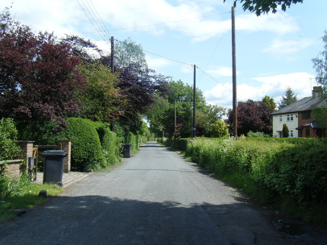
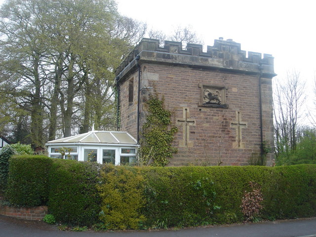
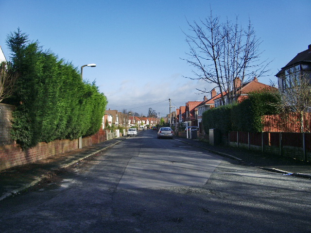
Blashaw Wood Images

Images are sourced within 2km of 53.746654/-2.7440456 or Grid Reference SD5128. Thanks to Geograph Open Source API. All images are credited.

The River Ribble northwest of Nabsack Planting
Ratten Lane near Sherdley Farm
Marsh Farm from Howick Cross Lane
Track through wasteland south of Riversway Motor Park
By The River Ribble The two sets of power lines are very much part of the landscape here. Viewed on a bright mid-February morning.
By The River Ribble
The two sets of power lines are very much part of the landscape here. Viewed on a bright mid-February morning.
Riverside View Looking upstream from the Ribble Way on the Penwortham side towards the old dock at Preston.
Riverside View
Looking upstream from the Ribble Way on the Penwortham side towards the old dock at Preston.
Beside The Pylons Viewed at a junction of paths right beside one of the power lines that are such a prominent feature of the landscape here.
Beside The Pylons
Viewed at a junction of paths right beside one of the power lines that are such a prominent feature of the landscape here.
The River Ribble Viewed from the Ribble Way where a double power line crosses the river. The power lines are a prominent feature of the landscape here.
The River Ribble
Viewed from the Ribble Way where a double power line crosses the river. The power lines are a prominent feature of the landscape here.
Footpath Near Hutton This path connects with the Ribble Way a little further to the north.
Footpath Near Hutton
This path connects with the Ribble Way a little further to the north.
Ribble Shore The northern shore of the River Ribble, approximately 1000 yards downstream of Preston Docks.
Ribble Shore
The northern shore of the River Ribble, approximately 1000 yards downstream of Preston Docks.
The Anchor Inn, Hutton Large public house on Liverpool Road.
The Anchor Inn, Hutton
Large public house on Liverpool Road.
Hutton, Liverpool Road
Road & public footpath to the Ribble
Penwortham Priory Lodge This was originally the Penwortham Priory Lodge, which stood on Penwortham Hill
at the junction with Church Avenue (which is now little more than a track at
that point). It was demolished in 1912 for the widening of Penwortham Hill and
rebuilt in its present position. You can see photographs of it on its original
site at:

<span class="nowrap"><a title="http://ibase.lancashire.gov.uk/index.php?a=showall&s=item&key=AYTozOntpOjA7czoxOiIxIjtpOjE7czoxOiI2IjtpOjI7czoxOiI3Ijt9&pg=328" rel="nofollow ugc noopener" href="http://ibase.lancashire.gov.uk/index.php?a=showall&s=item&key=AYTozOntpOjA7czoxOiIxIjtpOjE7czoxOiI2IjtpOjI7czoxOiI3Ijt9&pg=328">Link</a><img style="margin-left:2px;" alt="External link" title="External link - shift click to open in new window" src="https://s1.geograph.org.uk/img/external.png" width="10" height="10"/></span>
and:
<span class="nowrap"><a title="http://ibase.lancashire.gov.uk/index.php?a=showall&s=item&key=AYTozOntpOjA7czoxOiIxIjtpOjE7czoxOiI2IjtpOjI7czoxOiI3Ijt9&pg=330" rel="nofollow ugc noopener" href="http://ibase.lancashire.gov.uk/index.php?a=showall&s=item&key=AYTozOntpOjA7czoxOiIxIjtpOjE7czoxOiI2IjtpOjI7czoxOiI3Ijt9&pg=330">Link</a><img style="margin-left:2px;" alt="External link" title="External link - shift click to open in new window" src="https://s1.geograph.org.uk/img/external.png" width="10" height="10"/></span>
Penwortham Priory Lodge
This was originally the Penwortham Priory Lodge, which stood on Penwortham Hill at the junction with Church Avenue (which is now little more than a track at that point). It was demolished in 1912 for the widening of Penwortham Hill and rebuilt in its present position. You can see photographs of it on its original site at: LinkExternal link and: LinkExternal link
Carving on Penwortham Priory Lodge
Sherdley Farm on Ratten Lane
Sherdley Farm
on Ratten Lane
Private road but public footpath Footpath and road from Marsh Farm to the River Ribble
Private road but public footpath
Footpath and road from Marsh Farm to the River Ribble
End of track off Howick Cross Lane
Show me another place!

Blashaw Wood is located at Grid Ref: SD5128 (Lat: 53.746654, Lng: -2.7440456)

Administrative County: Lancashire

District: South Ribble

Police Authority: Lancashire

What 3 Words

///gossip.twice.bits. Near Preston, Lancashire

Related Wikis

Penwortham Priory Academy

Penwortham Priory Academy is a coeducational secondary school located in Penwortham in the English county of Lancashire.Previously a community school administered...

Howick Cross

Howick Cross is a landmark and small hamlet in Penwortham, South Ribble, Lancashire, England. It is located just over 2 miles south west of the city of...

All Hallows Catholic High School

All Hallows Catholic High School is a coeducational secondary school located in Penwortham in the English county of Lancashire.Established in 1975, it...

Penwortham Priory

Penwortham Priory was first a Benedictine priory and, after the Dissolution of the Monasteries, a country house in the village of Penwortham, near Preston...

Penwortham Girls' High School

Penwortham Girls' High School is a secondary school located in Penwortham in the English county of Lancashire.Established in 1954 as Penwortham Girls'...

Penwortham Cop Lane railway station

Penwortham Cop Lane was a railway station on the West Lancashire Railway in England. It served the town of Penwortham in Lancashire. It was between Higher...

Preston Riverside railway station

Preston Riverside railway station is the only station on the heritage Ribble Steam Railway, in Riversway, Preston, Lancashire, England. It was built and...

River Ribble

The River Ribble runs through North Yorkshire and Lancashire in Northern England. It starts close to the Ribblehead Viaduct in North Yorkshire, and is...

Nearby Amenities

Located within 500m of 53.746654,-2.7440456
Crossing
Button Operated: yes
Crossing: traffic_signals
Crossing Ref: puffin
Kerb: lowered
Supervised: no
Tactile Paving: yes
Lat/Long: 53.7432443/-2.7451541
Turning Circle
Lat/Long: 53.7449257/-2.7449248
Turning Circle
Lat/Long: 53.7433028/-2.7477034
Speed Camera
Lat/Long: 53.7442228/-2.742961
The data included in this document is from www.openstreetmap.org. The data is made available under ODbL.

Have you been to Blashaw Wood?

Leave your review of Blashaw Wood below (or comments, questions and feedback).