The Birches
Wood, Forest in Herefordshire
England
The Birches
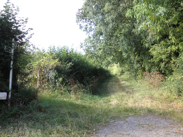
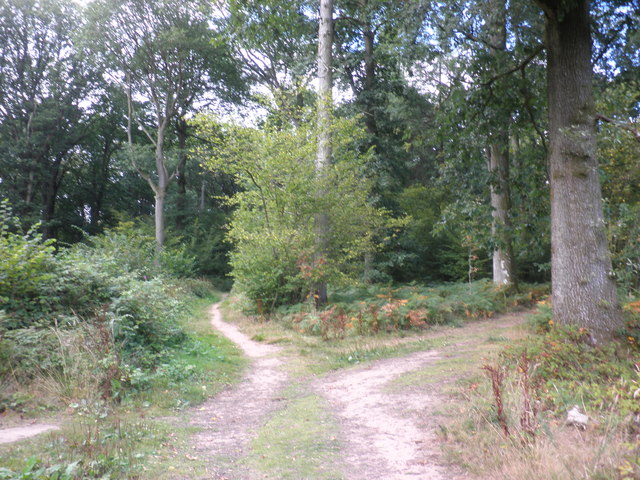
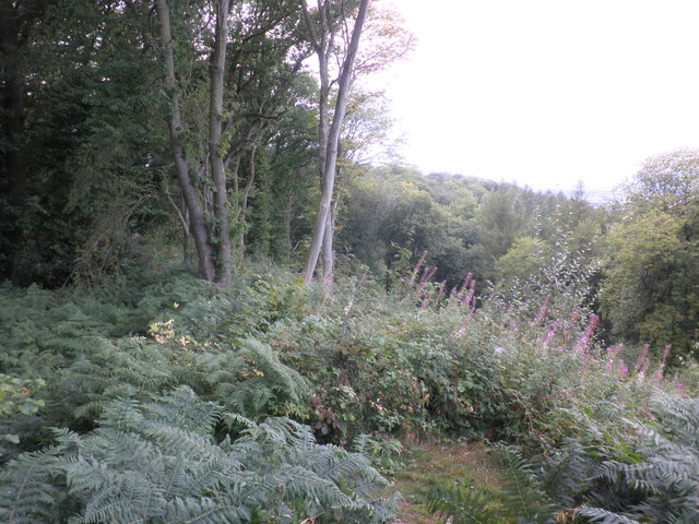
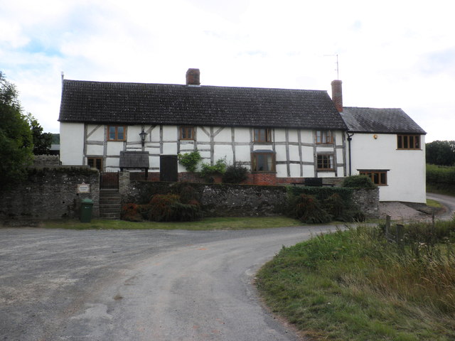
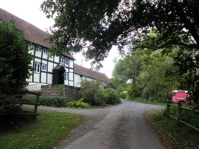
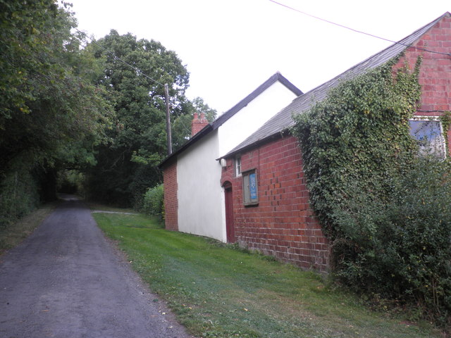
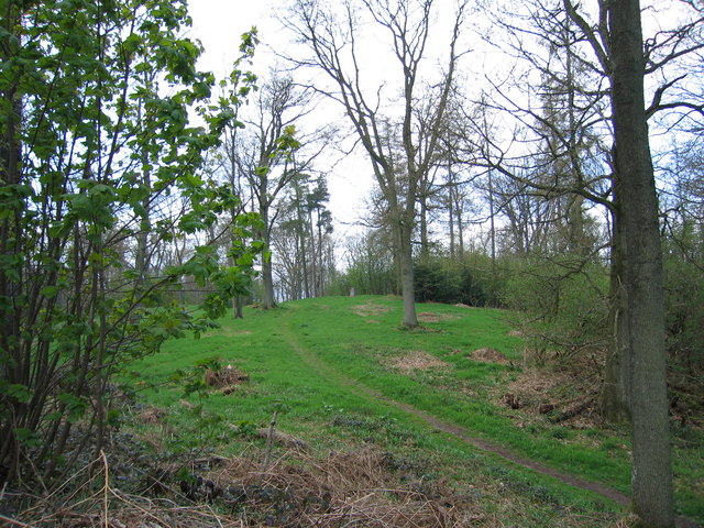
The Birches is a picturesque woodland located in Herefordshire, England. Covering an area of approximately 100 acres, it is renowned for its diverse range of trees and stunning natural beauty. The woodland is primarily composed of birch trees, as the name suggests, but also features a variety of other tree species such as oak, beech, and ash.
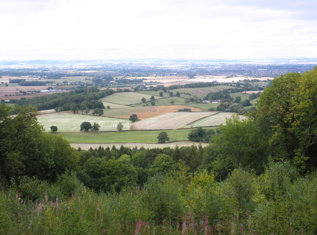
The Birches offers a tranquil and peaceful environment for visitors to enjoy. Walking through the woodland, one can witness the changing colors of the seasons, from the vibrant greens of spring and summer to the golden hues of autumn. The forest floor is adorned with a rich carpet of wildflowers and ferns, creating a vibrant tapestry of colors and scents.
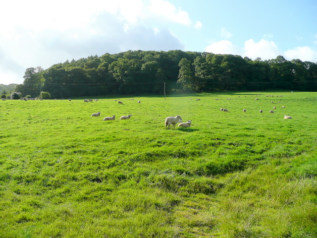
The woodland is home to a thriving ecosystem, providing a habitat for a wide array of wildlife. Birdwatchers can spot various species of birds, including woodpeckers, owls, and songbirds, while animal enthusiasts may catch a glimpse of deer, foxes, or rabbits. The Birches is also home to a diverse range of insects, contributing to the overall biodiversity of the area.
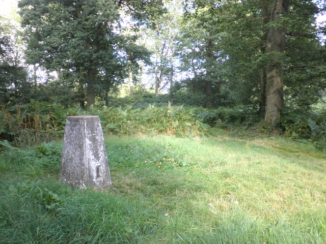
Visitors can explore the woodland through a network of well-maintained trails, providing opportunities for walking, hiking, and nature photography. There are also designated picnic areas, allowing visitors to relax and enjoy the peaceful surroundings. The Birches is a popular destination for nature lovers, photographers, and those seeking a peaceful retreat in the heart of Herefordshire.
If you have any feedback on the listing, please let us know in the comments section below.
The Birches Images
Images are sourced within 2km of 52.006959/-2.7208736 or Grid Reference SO5034. Thanks to Geograph Open Source API. All images are credited.


The Birches is located at Grid Ref: SO5034 (Lat: 52.006959, Lng: -2.7208736)
Unitary Authority: County of Herefordshire
Police Authority: West Mercia
What 3 Words
///snow.beans.events. Near Callow, Herefordshire
Nearby Locations
Related Wikis

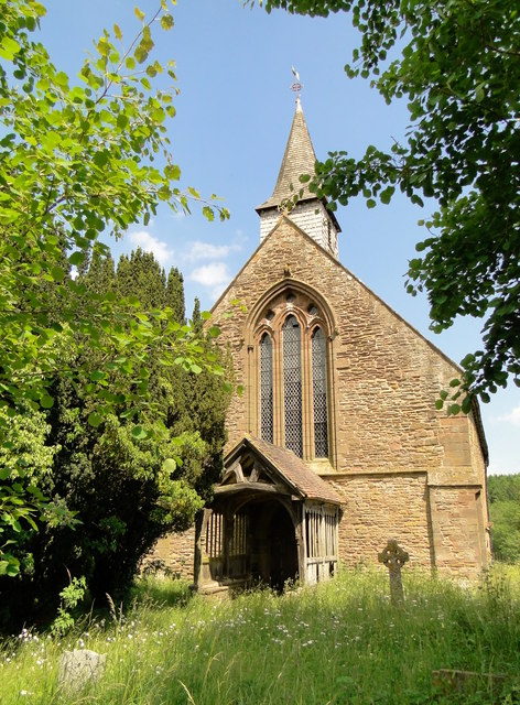
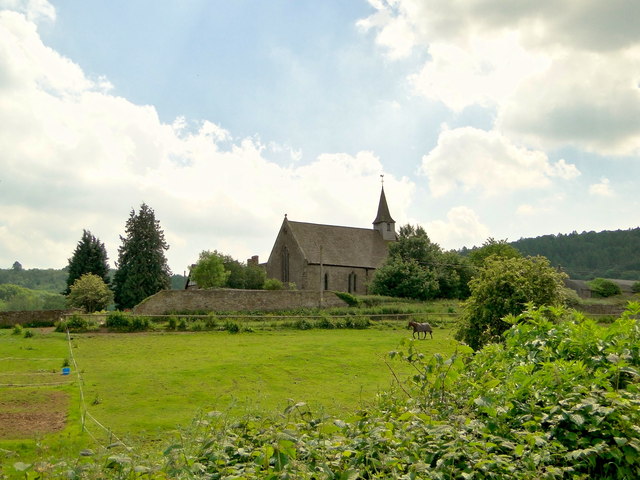
Callow, Herefordshire
Callow is a village and civil parish in Herefordshire, England, about 4 miles (6.4 km) south of Hereford. The church is dedicated to St Mary. == External... ==

Aconbury
Aconbury (Welsh: Caer Rhain) is a village in the English county of Herefordshire, situated on a road between Hereford and Ross-on-Wye. St John the Baptist...
Aconbury Camp
Aconbury Camp is an Iron Age hillfort on Aconbury Hill in Herefordshire, England, about 4 miles (6 km) south of Hereford, and near the village of Aconbury...

Hereford (UK Parliament constituency)
Hereford was, until 2010, a constituency of the House of Commons of the Parliament of the United Kingdom. Since 1918, it had elected one Member of Parliament...

Hereford and South Herefordshire (UK Parliament constituency)
Hereford and South Herefordshire ( HERR-if-ərd ... HERR-if-ərd-sheer, -shər) is a constituency of the House of Commons of the UK Parliament. It comprises...

Aconbury Priory
Aconbury Priory was a priory in Herefordshire, England. Aconbury is a village on a road between Hereford and Ross-on-Wye. == History == The priory was...
South Herefordshire
South Herefordshire was one of nine local government districts of the English county of Hereford and Worcester from 1974 to 1998. == History == South Herefordshire...

Dewsall
Dewsall is a civil parish in south Herefordshire, England, approximately 4 miles (6 km) south from the city and county town of Hereford. The nearest market...
Nearby Amenities
Located within 500m of 52.006959,-2.7208736Have you been to The Birches?
Leave your review of The Birches below (or comments, questions and feedback).