Callow

Civil Parish in Herefordshire

England

Callow

Bridleway, leading north from Barrack Hill
Bridleway, leading north from Barrack Hill Credit: Roger Cornfoot

Callow is a civil parish located in the county of Herefordshire, England. Situated approximately 4 miles south of the town of Hereford, Callow covers an area of around 3 square miles. The parish is bordered by the parishes of Stretton Sugwas, Wellington, Breinton, and Aconbury.

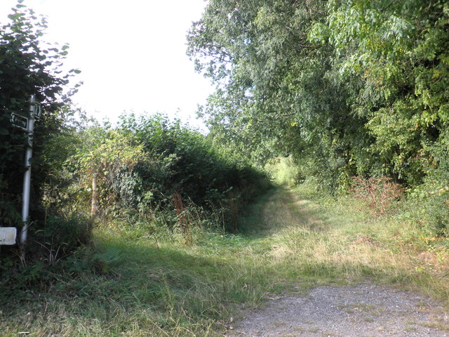
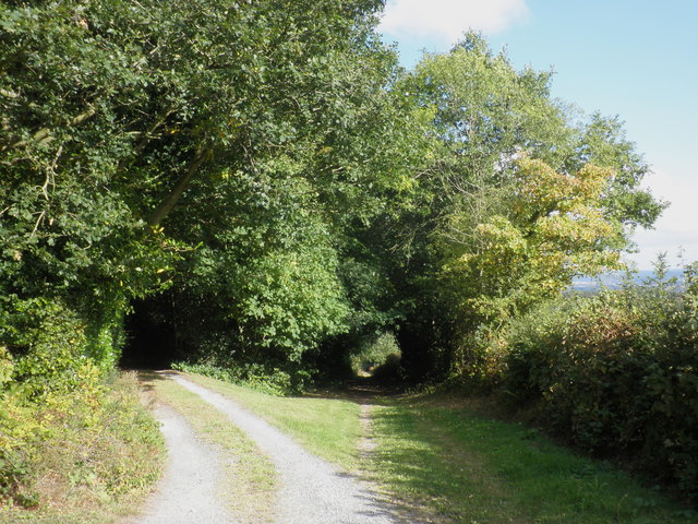
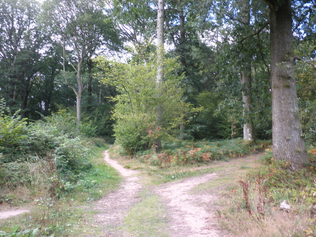
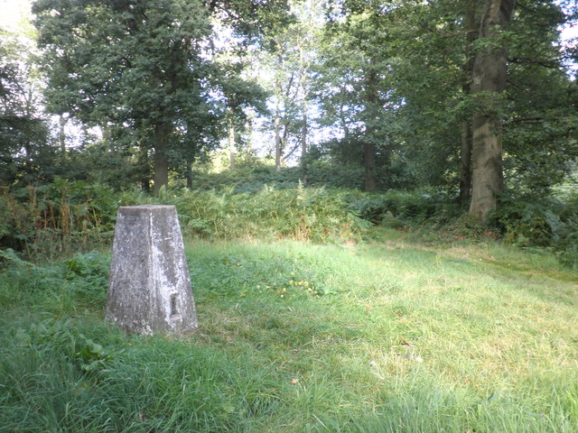
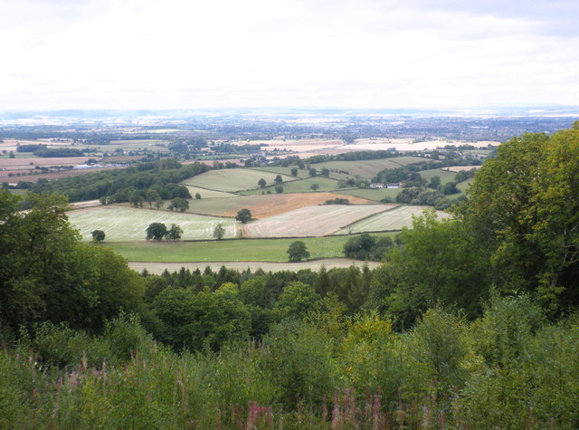
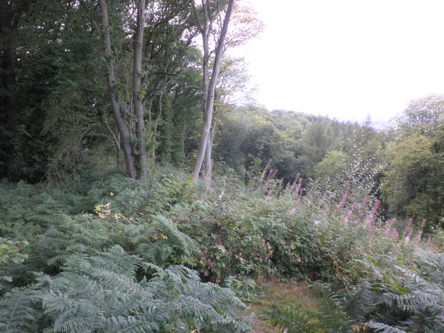
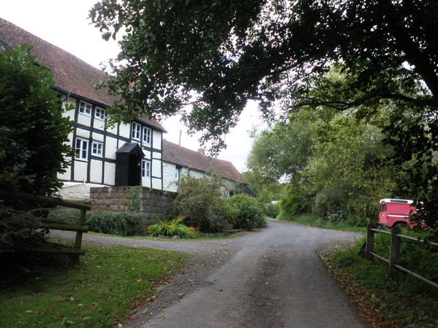
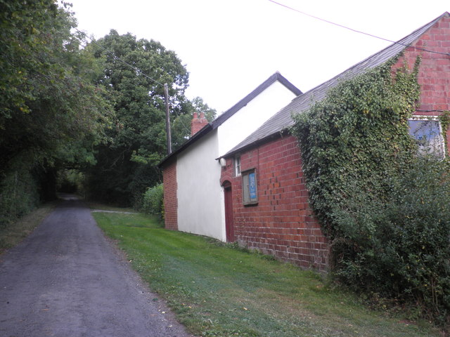
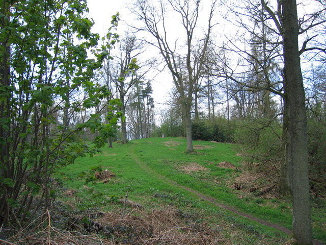
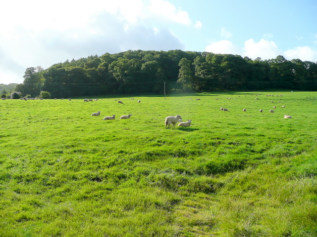
Callow is a predominantly rural area with a small population of around 200 residents. The landscape is characterized by rolling countryside, lush green fields, and picturesque views. The parish is known for its peaceful and idyllic surroundings, making it a popular destination for nature lovers and those seeking a tranquil escape from urban life.

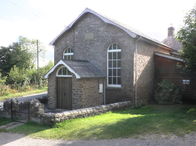
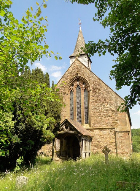
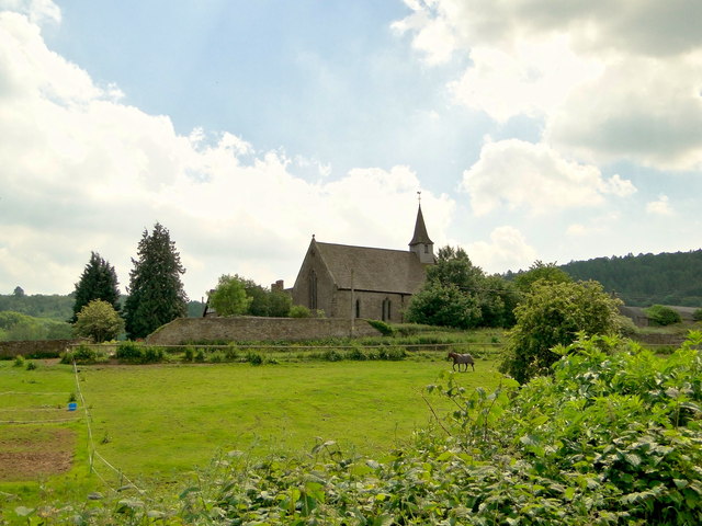
The parish is home to several historic buildings and landmarks, including St. Michael and All Angels Church, which dates back to the 12th century. The church is a Grade II* listed building and features stunning architectural details.

Callow is also known for its agricultural activities, with farming being a major industry in the area. The fertile soil and favorable climate make it suitable for various crops and livestock farming.

There are limited amenities in Callow, with the nearest shops, schools, and other facilities located in the nearby town of Hereford. However, the lack of urban development adds to the charm and rural character of the parish.

Overall, Callow offers a serene and picturesque environment, making it an attractive place to live or visit for those seeking a peaceful countryside experience.

If you have any feedback on the listing, please let us know in the comments section below.
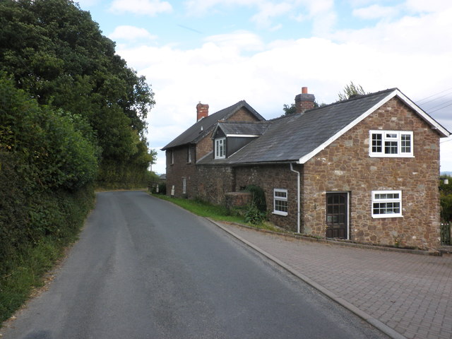
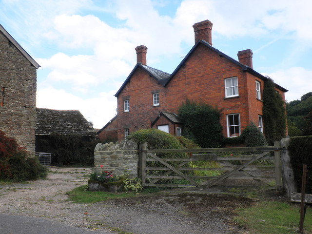
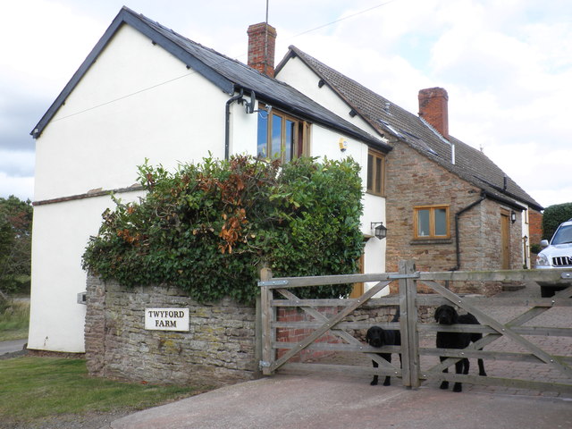
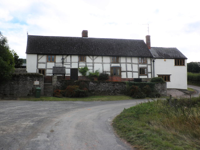
Callow Images

Images are sourced within 2km of 52.00564/-2.726053 or Grid Reference SO5034. Thanks to Geograph Open Source API. All images are credited.

Bridleway, leading north from Barrack Hill
Bridleway to Little Birch
Primitive Methodist Chapel, King's Thorn
Entrance path, Aconbury Wood
Footpath crossroads, Aconbury Woods
Trig point on Aconbury Hill
View towards King's Pitts from Aconbury Hill
Aconbury Iron-age fort, ramparts
Cottage, Little Birch
King's Pitts Farm
King's Pitts Farm
Dogs on guard, at Twyford farm
Twyford farmhouse
Twyford farmhouse
Twyford Common
Twyford Common
Former chapel, Twyford Common
Aconbury Hill An easy stroll through the trees. Ample parking by the church to the south.
Name: Aconbury Hill
Hill number: 2864
Height: 276m / 906ft
Area: 38B: West Gloucestershire, Hereford & Worcester
Class: Ma
Grid ref: SO 50585 33000
Summit feature: trig point
Drop: 157m
Col: 119m  SO492302
Aconbury Hill
An easy stroll through the trees. Ample parking by the church to the south. Name: Aconbury Hill Hill number: 2864 Height: 276m / 906ft Area: 38B: West Gloucestershire, Hereford & Worcester Class: Ma Grid ref: SO 50585 33000 Summit feature: trig point Drop: 157m Col: 119m SO492302
St John the Baptist, Aconbury Closed and used as a store, but in good condition. The splendid 15th century porch is also still holding up well.
St John the Baptist, Aconbury
Closed and used as a store, but in good condition. The splendid 15th century porch is also still holding up well.
St John the Baptist, Aconbury Disused and becoming overgrown, but still in reasonable condition. Used as a store. A monastic foundation for the nuns of the Order of St John, it was founded in 1216, according to the Herefordshire Pevsner.
St John the Baptist, Aconbury
Disused and becoming overgrown, but still in reasonable condition. Used as a store. A monastic foundation for the nuns of the Order of St John, it was founded in 1216, according to the Herefordshire Pevsner.
Show me another place!

Callow is located at Grid Ref: SO5034 (Lat: 52.00564, Lng: -2.726053)

Unitary Authority: County of Herefordshire

Police Authority: West Mercia

What 3 Words

///vision.hurt.sulk. Near Callow, Herefordshire

Related Wikis

Callow, Herefordshire

Callow is a village and civil parish in Herefordshire, England, about 4 miles (6.4 km) south of Hereford. The church is dedicated to St Mary. == External... ==
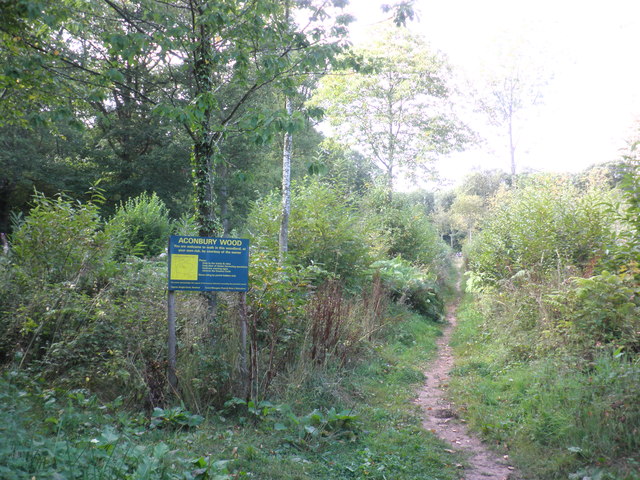
Aconbury Camp

Aconbury Camp is an Iron Age hillfort on Aconbury Hill in Herefordshire, England, about 4 miles (6 km) south of Hereford, and near the village of Aconbury...

Aconbury

Aconbury (Welsh: Caer Rhain) is a village in the English county of Herefordshire, situated on a road between Hereford and Ross-on-Wye. St John the Baptist...

Aconbury Priory

Aconbury Priory was a priory in Herefordshire, England. Aconbury is a village on a road between Hereford and Ross-on-Wye. == History == The priory was...

Nearby Amenities

Located within 500m of 52.00564,-2.726053
Power: pole
Lat/Long: 52.0029069/-2.7300462
Twyford
Power: pole
Transformer: distribution
Voltage Primary: 11000
Lat/Long: 52.0066129/-2.7201837
Power: pole
Lat/Long: 52.0061564/-2.7211587
Power: pole
Lat/Long: 52.0055752/-2.7223791
Power: pole
Lat/Long: 52.0048813/-2.7238442
Power: pole
Lat/Long: 52.0043608/-2.7249433
Twyford Cottage
Power: pole
Transformer: distribution
Voltage Primary: 11000
Lat/Long: 52.0035666/-2.7254717
Power: pole
Lat/Long: 52.004078/-2.7255093
Power: pole
Lat/Long: 52.0040004/-2.7256568
Power: pole
Lat/Long: 52.0040747/-2.7264641
Power: pole
Lat/Long: 52.0041366/-2.7271387
Power: pole
Lat/Long: 52.0042526/-2.7284671
Power: pole
Lat/Long: 52.0040611/-2.7291128
Power: pole
Lat/Long: 52.003872/-2.7297539
The Callow
Power: pole
Transformer: distribution
Voltage Primary: 11000
Lat/Long: 52.0046448/-2.7295071
Power: pole
Lat/Long: 52.0054266/-2.7299242
Power: pole
Lat/Long: 52.0062332/-2.7303493
Power: pole
Lat/Long: 52.0072238/-2.7308951
Power: pole
Lat/Long: 52.0082169/-2.7314329
Power: pole
Lat/Long: 52.0089128/-2.7302299
Power: pole
Lat/Long: 52.0096492/-2.7289572
The data included in this document is from www.openstreetmap.org. The data is made available under ODbL.

Have you been to Callow?

Leave your review of Callow below (or comments, questions and feedback).