Hopley's Wood

Wood, Forest in Herefordshire

England

Hopley's Wood

Footpath crossroads, Aconbury Woods
Footpath crossroads, Aconbury Woods Credit: Roger Cornfoot

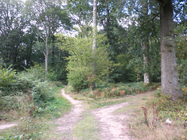
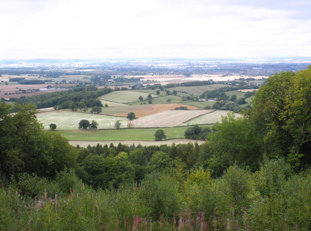
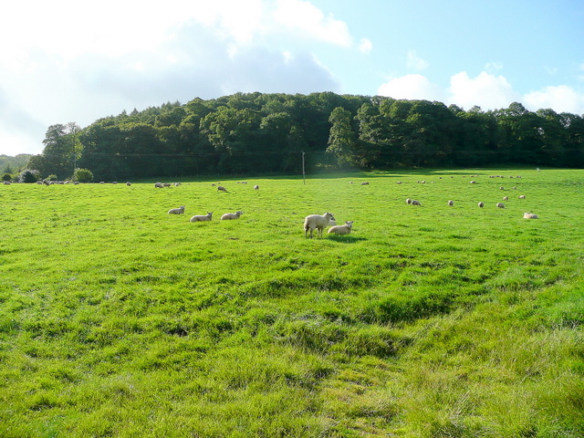
Hopley's Wood is a picturesque woodland located in Herefordshire, a county in the West Midlands region of England. This enchanting forest covers an approximate area of 200 acres and is known for its diverse range of flora and fauna.

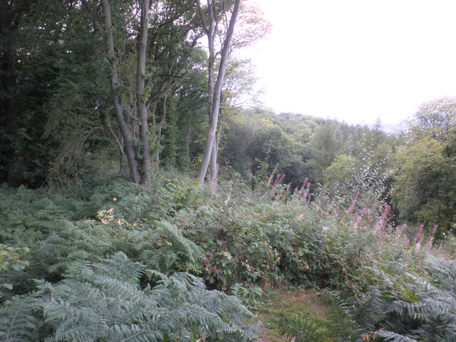
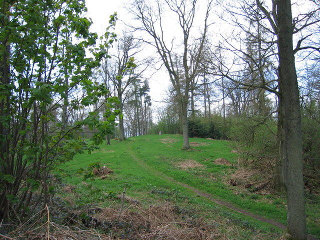
The wood is predominantly made up of native broadleaf trees, such as oak, ash, and beech, which create a dense and lush canopy. This canopy provides shelter and habitat for a variety of wildlife species, including deer, badgers, foxes, and numerous bird species. Additionally, the forest floor is carpeted with a rich assortment of wildflowers and ferns, adding to the wood's natural beauty.

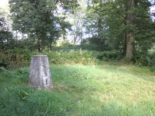
Hopley's Wood offers several well-maintained walking trails that meander through the forest, allowing visitors to immerse themselves in its tranquility. These trails are suitable for all ages and fitness levels, making it an ideal destination for families, nature enthusiasts, and avid walkers alike. Along the pathways, informative signage provides educational insights into the woodland's history, ecology, and conservation efforts.

The wood is managed by a dedicated team of conservationists who work to protect and preserve its natural habitat. They undertake regular maintenance activities, such as tree planting, invasive species control, and wildlife monitoring, to ensure the continued health and biodiversity of the woodland.

Hopley's Wood is a true haven for nature lovers and offers a peaceful escape from the hustle and bustle of everyday life. Its natural beauty, abundant wildlife, and well-maintained trails make it a must-visit destination for anyone seeking to explore the stunning woodlands of Herefordshire.

If you have any feedback on the listing, please let us know in the comments section below.

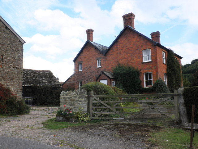
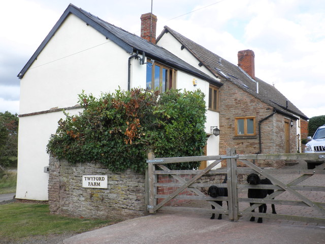
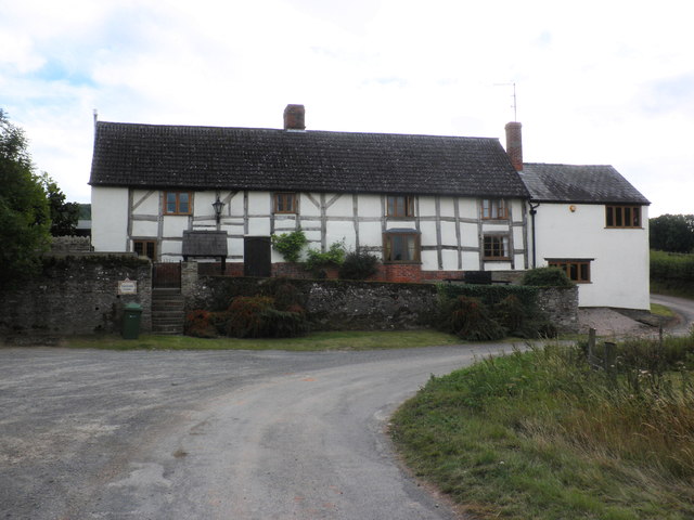
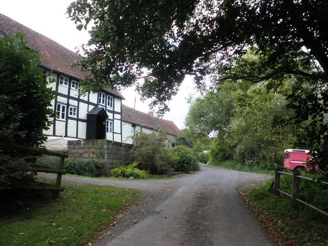
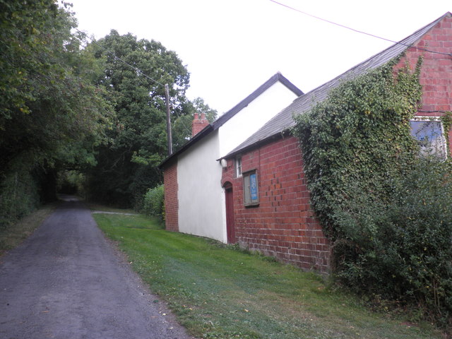
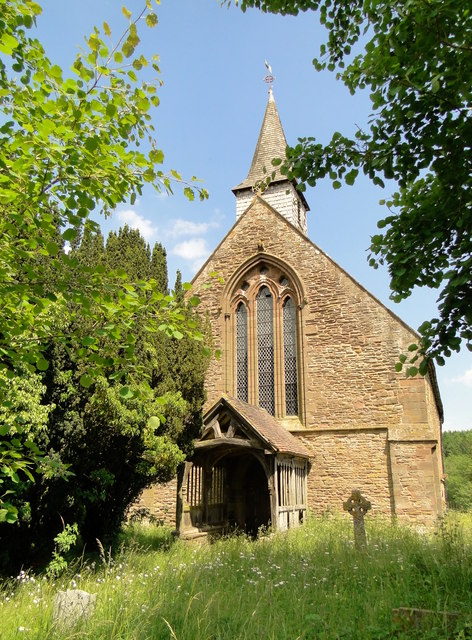
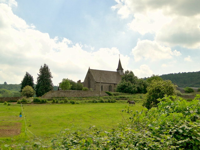
Hopley's Wood Images

Images are sourced within 2km of 52.007115/-2.7276214 or Grid Reference SO5034. Thanks to Geograph Open Source API. All images are credited.

Footpath crossroads, Aconbury Woods
Trig point on Aconbury Hill
View towards King's Pitts from Aconbury Hill
Aconbury Iron-age fort, ramparts
King's Pitts Farm
King's Pitts Farm
Dogs on guard, at Twyford farm
Twyford farmhouse
Twyford farmhouse
Twyford Common
Twyford Common
Former chapel, Twyford Common
Aconbury Hill An easy stroll through the trees. Ample parking by the church to the south.
Name: Aconbury Hill
Hill number: 2864
Height: 276m / 906ft
Area: 38B: West Gloucestershire, Hereford & Worcester
Class: Ma
Grid ref: SO 50585 33000
Summit feature: trig point
Drop: 157m
Col: 119m  SO492302
Aconbury Hill
An easy stroll through the trees. Ample parking by the church to the south. Name: Aconbury Hill Hill number: 2864 Height: 276m / 906ft Area: 38B: West Gloucestershire, Hereford & Worcester Class: Ma Grid ref: SO 50585 33000 Summit feature: trig point Drop: 157m Col: 119m SO492302
St John the Baptist, Aconbury Closed and used as a store, but in good condition. The splendid 15th century porch is also still holding up well.
St John the Baptist, Aconbury
Closed and used as a store, but in good condition. The splendid 15th century porch is also still holding up well.
St John the Baptist, Aconbury Disused and becoming overgrown, but still in reasonable condition. Used as a store. A monastic foundation for the nuns of the Order of St John, it was founded in 1216, according to the Herefordshire Pevsner.
St John the Baptist, Aconbury
Disused and becoming overgrown, but still in reasonable condition. Used as a store. A monastic foundation for the nuns of the Order of St John, it was founded in 1216, according to the Herefordshire Pevsner.
Aconbury Court Has all the appearance of a Victorian vicarage, but the latest Pevsner assumes that its origin is monastic, connected to the adjacent nunnery church of St John the Baptist.
Aconbury Court
Has all the appearance of a Victorian vicarage, but the latest Pevsner assumes that its origin is monastic, connected to the adjacent nunnery church of St John the Baptist.
The valley of the Norton Brook The road to Ross follows this broad valley for several kilometres south of Hereford
The valley of the Norton Brook
The road to Ross follows this broad valley for several kilometres south of Hereford
Aconbury church This church appears to be no longer in use.
Aconbury church
This church appears to be no longer in use.
Arable field beside the A49 Arable field beside the A49 adjacent to the near roundabout at the west end of the Rotherwas access road.
Arable field beside the A49
Arable field beside the A49 adjacent to the near roundabout at the west end of the Rotherwas access road.
Aconbury church St John the Baptist's church, Aconbury, viewed from the north-east.
Aconbury church
St John the Baptist's church, Aconbury, viewed from the north-east.
Show me another place!

Hopley's Wood is located at Grid Ref: SO5034 (Lat: 52.007115, Lng: -2.7276214)

Unitary Authority: County of Herefordshire

Police Authority: West Mercia

What 3 Words

///trend.mild.branded. Near Callow, Herefordshire

Related Wikis

Callow, Herefordshire

Callow is a village and civil parish in Herefordshire, England, about 4 miles (6.4 km) south of Hereford. The church is dedicated to St Mary. == External... ==

Aconbury Camp

Aconbury Camp is an Iron Age hillfort on Aconbury Hill in Herefordshire, England, about 4 miles (6 km) south of Hereford, and near the village of Aconbury...

Aconbury

Aconbury (Welsh: Caer Rhain) is a village in the English county of Herefordshire, situated on a road between Hereford and Ross-on-Wye. St John the Baptist...

Dewsall

Dewsall is a civil parish in south Herefordshire, England, approximately 4 miles (6 km) south from the city and county town of Hereford. The nearest market...

Hereford (UK Parliament constituency)

Hereford was, until 2010, a constituency of the House of Commons of the Parliament of the United Kingdom. Since 1918, it had elected one Member of Parliament...

Hereford and South Herefordshire (UK Parliament constituency)

Hereford and South Herefordshire ( HERR-if-ərd ... HERR-if-ərd-sheer, -⁠⁠shər) is a constituency of the House of Commons of the UK Parliament. It comprises...

Aconbury Priory

Aconbury Priory was a priory in Herefordshire, England. Aconbury is a village on a road between Hereford and Ross-on-Wye. == History == The priory was...

Haywood, Herefordshire

Haywood is a civil parish in Herefordshire, England, and south-west of Hereford. Parish population at the 2011 census was 216. There are no substantial...

Nearby Amenities

Located within 500m of 52.007115,-2.7276214
Material: wood
Power: pole
Lat/Long: 52.008747/-2.7323661
Material: wood
Power: pole
Lat/Long: 52.0098564/-2.7313069
Material: wood
Power: pole
Lat/Long: 52.0060606/-2.7344102
Material: wood
Power: pole
Lat/Long: 52.0075474/-2.7332727
Material: wood
Power: pole
Lat/Long: 52.007048/-2.7336511
Material: wood
Power: pole
Lat/Long: 52.010979/-2.7302501
Power: pole
Lat/Long: 52.0029069/-2.7300462
Power: pole
Lat/Long: 52.0061564/-2.7211587
Power: pole
Lat/Long: 52.0055752/-2.7223791
Power: pole
Lat/Long: 52.0048813/-2.7238442
Power: pole
Lat/Long: 52.0043608/-2.7249433
Twyford Cottage
Power: pole
Transformer: distribution
Voltage Primary: 11000
Lat/Long: 52.0035666/-2.7254717
Power: pole
Lat/Long: 52.004078/-2.7255093
Power: pole
Lat/Long: 52.0040004/-2.7256568
Power: pole
Lat/Long: 52.0040747/-2.7264641
Power: pole
Lat/Long: 52.0041366/-2.7271387
Power: pole
Lat/Long: 52.0042526/-2.7284671
Power: pole
Lat/Long: 52.0040611/-2.7291128
Power: pole
Lat/Long: 52.003872/-2.7297539
The Callow
Power: pole
Transformer: distribution
Voltage Primary: 11000
Lat/Long: 52.0046448/-2.7295071
Power: pole
Lat/Long: 52.0054266/-2.7299242
Power: pole
Lat/Long: 52.0062332/-2.7303493
Power: pole
Lat/Long: 52.0072238/-2.7308951
Power: pole
Lat/Long: 52.0082169/-2.7314329
Power: pole
Lat/Long: 52.0089128/-2.7302299
Location Transition: yes
Power: pole
Lat/Long: 52.0100776/-2.7305934
Power: pole
Lat/Long: 52.0096492/-2.7289572
Power: pole
Lat/Long: 52.0104255/-2.7276503
Power: pole
Lat/Long: 52.0111416/-2.7268544
The data included in this document is from www.openstreetmap.org. The data is made available under ODbL.

Have you been to Hopley's Wood?

Leave your review of Hopley's Wood below (or comments, questions and feedback).