Coln St Dennis

Settlement in Gloucestershire Cotswold

England

Coln St Dennis

Coln St. Denis church, St. James the Great A Norman church with a c15 top stage to the Norman tower
Coln St. Denis church, St. James the Great Credit: Anonymous 4610

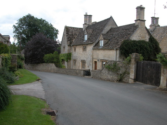
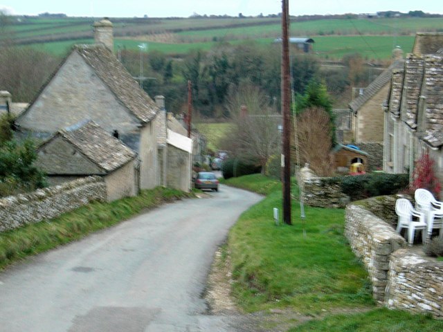
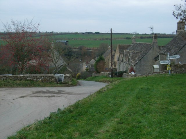
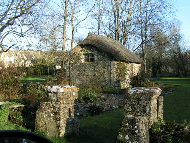
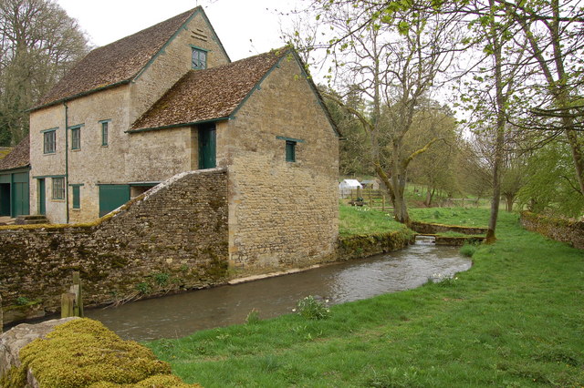
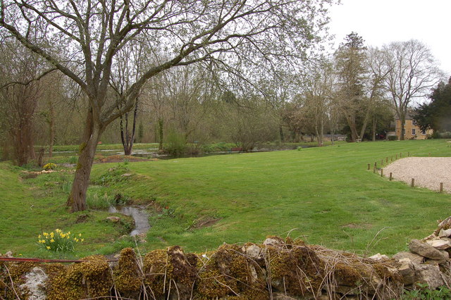
Coln St Dennis is a picturesque village located in the county of Gloucestershire, England. Nestled in the heart of the Cotswolds, it is renowned for its idyllic countryside setting and charming stone cottages. The village sits along the banks of the River Coln, which adds to its natural beauty and tranquility.

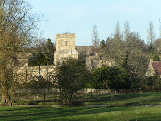
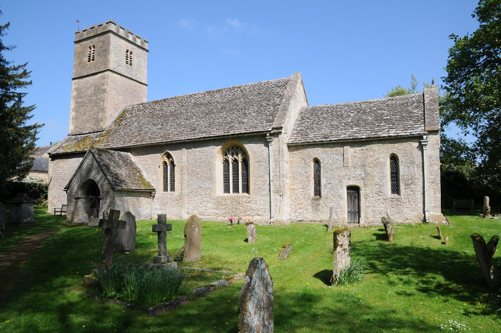
With a population of around 200 residents, Coln St Dennis exudes a sense of community and peacefulness. It boasts a rich history, dating back to medieval times, which is evident in the architecture of its buildings and the ancient parish church of St. James. The village has managed to retain much of its traditional character and remains largely unspoiled by modern development.

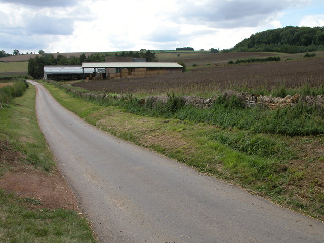
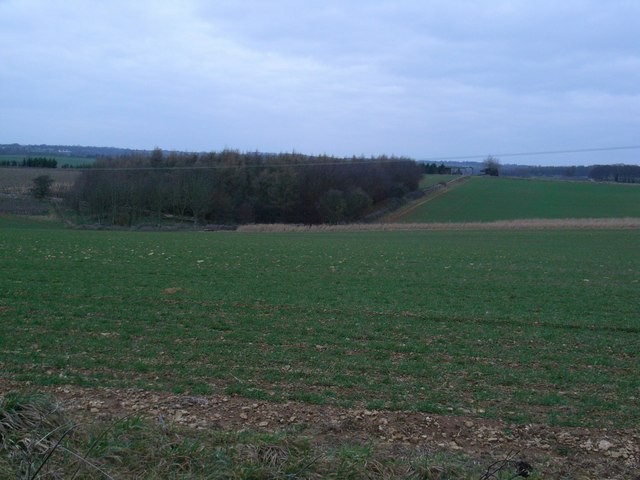
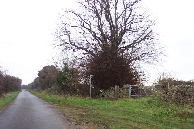
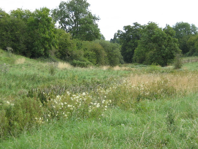
Surrounded by rolling hills and lush green fields, Coln St Dennis offers numerous opportunities for outdoor activities. The countryside provides excellent walking and cycling routes, allowing visitors to explore the stunning scenery and wildlife. The River Coln is also a popular spot for fishing and boating enthusiasts.

Despite its small size, the village has a vibrant social scene. The local pub, The New Inn, is a hub of activity, serving delicious food and hosting regular events that bring the community together. Coln St Dennis is also home to a primary school, providing education for the village and surrounding areas.

In summary, Coln St Dennis is a quintessential English village that showcases the beauty of the Cotswolds. With its peaceful atmosphere, stunning surroundings, and strong community spirit, it offers a truly charming experience for residents and visitors alike.

If you have any feedback on the listing, please let us know in the comments section below.

Coln St Dennis Images

Images are sourced within 2km of 51.797369/-1.876681 or Grid Reference SP0810. Thanks to Geograph Open Source API. All images are credited.

Coln St. Denis church, St. James the Great A Norman church with a c15 top stage to the Norman tower
Coln St. Denis church, St. James the Great
A Norman church with a c15 top stage to the Norman tower
Raybrook Barn Raybrook barn is now surrounded by more modern farm buildings.
Raybrook Barn
Raybrook barn is now surrounded by more modern farm buildings.
House in Coln St Dennis Cotswold stone house on the roadside in the village of Coln St Dennis.
House in Coln St Dennis
Cotswold stone house on the roadside in the village of Coln St Dennis.
Lower Chedworth Cottages below Pancakehill, Lower Chedworth.
Lower Chedworth
Cottages below Pancakehill, Lower Chedworth.
Field of wheat near Lower Chedworth View of farmland at SP073115 to the north east of Lower Chedworth.
Field of wheat near Lower Chedworth
View of farmland at SP073115 to the north east of Lower Chedworth.
Straw bales in stubble field, Fields Farm Field to the east of Fields Farm. Fields Farm can be seen in the background.
Straw bales in stubble field, Fields Farm
Field to the east of Fields Farm. Fields Farm can be seen in the background.
The Lodge at the entrance to Stowell Park
Calcot The village street.
Calcot
The village street.
Crossroads at Calcot
Tree plantation An isolated plantation, looking in the direction of Coln St Dennis.
Tree plantation
An isolated plantation, looking in the direction of Coln St Dennis.
Footpath starts here South-east towards Saltway Farm.
Footpath starts here
South-east towards Saltway Farm.
Wildflower meadow Wildflower meadows in a shallow valley near a brook.
Wildflower meadow
Wildflower meadows in a shallow valley near a brook.
Farmland near Lower Chedworth The farmland is probably part of Fields Farm and rises gently from the viewpoint at the gateway of the field.
Farmland near Lower Chedworth
The farmland is probably part of Fields Farm and rises gently from the viewpoint at the gateway of the field.
Lower Chedworth Lower Chedworth sits in a small valley. The properties nestling in the valley just under the centre of the image are in this square.
Lower Chedworth
Lower Chedworth sits in a small valley. The properties nestling in the valley just under the centre of the image are in this square.
Thatched Shed
Thatched Shed
Coln St Dennis church
Stowell Mill and the River Coln
Ornamental lake and water features at Fossebridge
Show me another place!

Coln St Dennis is located at Grid Ref: SP0810 (Lat: 51.797369, Lng: -1.876681)

Administrative County: Gloucestershire

District: Cotswold

Police Authority: Gloucestershire

What 3 Words

///query.senior.blizzard. Near Northleach, Gloucestershire

Related Wikis

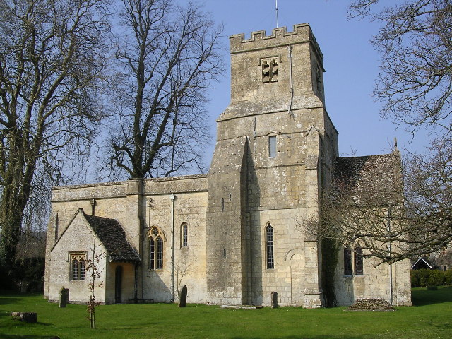
Church of St James, Coln St. Dennis

The Anglican Church of St James at Coln St. Dennis in the Cotswold District of Gloucestershire, England was built in the 12th century. It is a grade I...

Calcot, Gloucestershire

Calcot is a settlement in the English county of Gloucestershire. Calcot forms part of the civil parish of Coln St Dennis, within the Cotswold local government...

Church of St Andrew, Coln Rogers

The Anglican Church of St Andrew at Coln Rogers in the Cotswold District of Gloucestershire, England was built in the 11th century. It is a grade I listed...

Coln St. Dennis

Coln St. Dennis is a village and civil parish on the River Coln in Gloucestershire about 3 miles (4.8 km) southwest of Northleach and about 7 miles (11...

Nearby Amenities

Located within 500m of 51.797369,-1.876681
Coln St Dennis
Place: village
Lat/Long: 51.79798/-1.8778788
Bus Stop
St James's Church
Bus: yes
Naptan AtcoCode: 1600GLC241
Naptan Bearing: NE
Naptan CommonName: St James's Church
Naptan NaptanCode: glogdapd
Naptan Street: Coln Rogers Rd
Naptan Verified: no
Public Transport: platform
Source: naptan_import
Lat/Long: 51.7972059/-1.8768859
Bus Stop
St James's Church
Bus: yes
Naptan AtcoCode: 1600GLC242
Naptan Bearing: NE
Naptan CommonName: St James's Church
Naptan Indicator: Opp
Naptan NaptanCode: glogdapj
Naptan Street: Main Street
Naptan Verified: no
Public Transport: platform
Source: naptan_import
Lat/Long: 51.7973317/-1.876813
Material: wood
Power: pole
Lat/Long: 51.7958235/-1.8811861
Material: wood
Power: pole
Lat/Long: 51.7948348/-1.8814033
Material: wood
Power: pole
Lat/Long: 51.7986833/-1.8719351
Telephone
Booth: K6
Covered: booth
Lat/Long: 51.7996188/-1.8795586
The data included in this document is from www.openstreetmap.org. The data is made available under ODbL.

Have you been to Coln St Dennis?

Leave your review of Coln St Dennis below (or comments, questions and feedback).