Coln St Aldwyns

Settlement in Gloucestershire Cotswold

England

Coln St Aldwyns

Stone Stile, Quenington
Stone Stile, Quenington Credit: Mr Red

Coln St Aldwyns is a picturesque village located in the Cotswold district of Gloucestershire, England. Situated near the River Coln, the village is surrounded by breathtaking countryside, making it a popular destination for nature lovers and tourists alike.

The village is known for its idyllic charm, with its quaint stone houses, thatched cottages, and well-manicured gardens. The local church, St John the Baptist, is a prominent feature of the village, dating back to the Norman period and showcasing stunning architectural details.

Coln St Aldwyns offers a range of amenities to its residents and visitors. The village has a primary school, a village shop, and a post office, providing essential services to the local community. There is also a traditional country pub, The New Inn, where visitors can enjoy a drink or a meal while experiencing the warm hospitality of the locals.

The surrounding countryside offers ample opportunities for outdoor activities. The River Coln is perfect for fishing and riverside walks, while the nearby Coln Valley provides scenic hiking trails and cycling routes. The village is also within close proximity to other Cotswold attractions, such as Bibury and Bourton-on-the-Water, allowing visitors to explore the wider area.

Overall, Coln St Aldwyns is a charming village that encapsulates the beauty and tranquility of the Cotswolds. Its stunning natural surroundings, coupled with its rich history and community spirit, make it a truly special place to visit or call home.

If you have any feedback on the listing, please let us know in the comments section below.

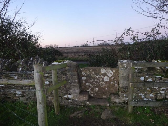
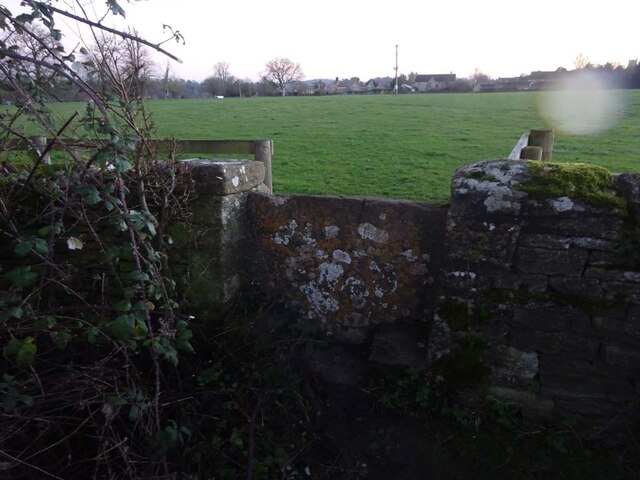
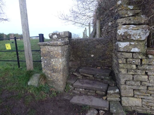
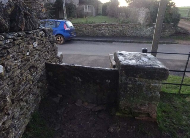
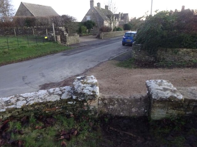
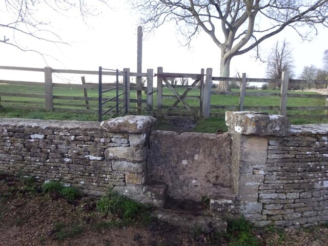
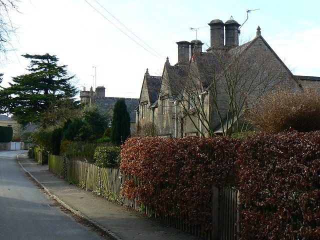
Coln St Aldwyns Images

Images are sourced within 2km of 51.745413/-1.790741 or Grid Reference SP1405. Thanks to Geograph Open Source API. All images are credited.

Stone Stile, Quenington
Stone Stile, Coln St Aldwyns Looking SE from Gloucestershire footpath KCA3. The view from the road is <a href="https://www.geograph.org.uk/photo/7070804">SP1405 : Stone Stile, Coln St Aldwyns</a>.
Stone Stile, Coln St Aldwyns
Looking SE from Gloucestershire footpath KCA3. The view from the road is SP1405 : Stone Stile, Coln St Aldwyns.
Stone Stile, Coln St Aldwyns Looking NW to Gloucestershire footpath KCA3. The view to the road is <a href="https://www.geograph.org.uk/photo/7070802">SP1405 : Stone Stile, Coln St Aldwyns</a>.
Stone Stile, Coln St Aldwyns
Looking NW to Gloucestershire footpath KCA3. The view to the road is SP1405 : Stone Stile, Coln St Aldwyns.
Stone Stile, Coln St Aldwyns Looking North from the Salt Way to Gloucestershire footpath KCA2. The view looking South is <a href="https://www.geograph.org.uk/photo/7070817">SP1405 : Stone Stile, Coln St Aldwyns</a>.
Stone Stile, Coln St Aldwyns
Looking North from the Salt Way to Gloucestershire footpath KCA2. The view looking South is SP1405 : Stone Stile, Coln St Aldwyns.
Stone Stile, Coln St Aldwyns Looking South to the Salt Way from Gloucestershire footpath KCA2. The view looking North is <a href="https://www.geograph.org.uk/photo/7070813">SP1405 : Stone Stile, Coln St Aldwyns</a>.
Stone Stile, Coln St Aldwyns
Looking South to the Salt Way from Gloucestershire footpath KCA2. The view looking North is SP1405 : Stone Stile, Coln St Aldwyns.
Stone Stile, Coln St Aldwyns Looking East from the road to Bibury and Aldsworth to Gloucestershire footpath KCA3. The view looking West is <a href="https://www.geograph.org.uk/photo/7070825">SP1405 : Stone Stile, Coln St Aldwyns</a>.
Stone Stile, Coln St Aldwyns
Looking East from the road to Bibury and Aldsworth to Gloucestershire footpath KCA3. The view looking West is SP1405 : Stone Stile, Coln St Aldwyns.
Stone Stile, Coln St Aldwyns Looking West to the road to Bibury and Aldsworth from Gloucestershire footpath KCA3. The view looking East is <a href="https://www.geograph.org.uk/photo/7070824">SP1405 : Stone Stile, Coln St Aldwyns</a>.
Stone Stile, Coln St Aldwyns
Looking West to the road to Bibury and Aldsworth from Gloucestershire footpath KCA3. The view looking East is SP1405 : Stone Stile, Coln St Aldwyns.
Stone Stile, Coln St Aldwyns Looking NW to Gloucestershire footpath KCA2 at the entrance to a drive. The view looking SE is <a href="https://www.geograph.org.uk/photo/7070832">SP1405 : Stone Stile, Coln St Aldwyns</a>.
Stone Stile, Coln St Aldwyns
Looking NW to Gloucestershire footpath KCA2 at the entrance to a drive. The view looking SE is SP1405 : Stone Stile, Coln St Aldwyns.
Stone Stile, Coln St Aldwyns Looking SE from Gloucestershire footpath KCA2 at the entrance to a drive. The view looking NW is <a href="https://www.geograph.org.uk/photo/7070831">SP1405 : Stone Stile, Coln St Aldwyns</a>.
Stone Stile, Coln St Aldwyns
Looking SE from Gloucestershire footpath KCA2 at the entrance to a drive. The view looking NW is SP1405 : Stone Stile, Coln St Aldwyns.
Show me another place!

Coln St Aldwyns is located at Grid Ref: SP1405 (Lat: 51.745413, Lng: -1.790741)

Administrative County: Gloucestershire

District: Cotswold

Police Authority: Gloucestershire

What 3 Words

///parks.applauded.kicked. Near Fairford, Gloucestershire

Nearby Locations

Coln St Aldwyns

Related Wikis

Coln St. Aldwyns

Coln St. Aldwyns (sometimes Coln St. Aldwyn) is a village and civil parish in the Cotswold district of the English county of Gloucestershire. == History... ==

Hatherop

Hatherop is a village and civil parish in the Cotswolds Area of Outstanding Natural Beauty, about 2.5 miles (4.0 km) north of Fairford in Gloucestershire...

Quenington

Quenington is a nucleated village and larger rural civil parish in the Cotswold district of Gloucestershire, England, on the River Coln 8 miles (13 km...

Quenington Preceptory

Quenington Preceptory was a preceptory of the Knights Hospitaller in Quenington, Gloucestershire, England. The manor of Quenington was given by Agnes de...

Nearby Amenities

Located within 500m of 51.745413,-1.790741
Coln St Aldwyns
Place: village
Postal Code: GL7 5
Lat/Long: 51.7453815/-1.7908189
Pub
New Inn
Source: survey
Wikidata: Q26625489
Lat/Long: 51.7440401/-1.7895414
Bus Stop
Post Office
Bus: yes
Naptan AtcoCode: 1600GL1421
Naptan Bearing: W
Naptan CommonName: Post Office
Naptan Indicator: Opp
Naptan NaptanCode: glogdmwg
Naptan Street: Hatherop Rd
Naptan Verified: no
Public Transport: platform
Source: naptan_import
Lat/Long: 51.745473/-1.7901339
Bus Stop
Post Office
Bus: yes
Naptan AtcoCode: 1600GL1422
Naptan Bearing: N
Naptan CommonName: Post Office
Naptan NaptanCode: glogdmwa
Naptan Street: Quenington Rd
Naptan Verified: no
Public Transport: platform
Source: naptan_import
Lat/Long: 51.745393/-1.7906412
Bus Stop
The New Inn
Bus: yes
Naptan AtcoCode: 1600GLC375
Naptan Bearing: S
Naptan CommonName: The New Inn
Naptan NaptanCode: glogdmwm
Naptan Street: Quenington Rd
Naptan Verified: no
Public Transport: platform
Source: naptan_import
Lat/Long: 51.7435305/-1.7899691
Bus Stop
The New Inn
Bus: yes
Naptan AtcoCode: 1600GLC376
Naptan Bearing: N
Naptan CommonName: The New Inn
Naptan Indicator: Opp
Naptan NaptanCode: glogdmwj
Naptan Street: Quenington Rd
Naptan Verified: no
Public Transport: platform
Source: naptan_import
Lat/Long: 51.7436027/-1.7901136
Bus Stop
Cockrup Farm
Bus: yes
Naptan AtcoCode: 1600GLC377
Naptan Bearing: S
Naptan CommonName: Cockrup Farm
Naptan NaptanCode: glogdmtj
Naptan Street: Aldsworth Rd
Naptan Verified: no
Public Transport: platform
Source: naptan_import
Lat/Long: 51.7487213/-1.7915095
Bus Stop
Cockrup Farm
Bus: yes
Naptan AtcoCode: 1600GLC378
Naptan Bearing: N
Naptan CommonName: Cockrup Farm
Naptan Indicator: Opp
Naptan NaptanCode: glogdmtd
Naptan Street: Aldsworth Rd
Naptan Verified: no
Public Transport: platform
Source: naptan_import
Lat/Long: 51.7486226/-1.7916403
Bus Stop
Post Office
Bus: yes
Naptan AtcoCode: 1600GLC635
Naptan Bearing: E
Naptan CommonName: Post Office
Naptan Indicator: Opp
Naptan NaptanCode: glogdmwd
Naptan Street: Hatherop Rd
Naptan Verified: no
Public Transport: platform
Source: naptan_import
Lat/Long: 51.745545/-1.790206
Coln Stores
Shop: convenience
Lat/Long: 51.745382/-1.7907541
Post Office
Coln St Aldwyns Post Office
Addr City: Cirencester
Addr Country: GB
Addr Postcode: GL7 5AN
Addr Village: Coln St Aldwyns
Brand: Post Office
Brand Wikidata: Q1783168
Opening Hours: Mo-Fr 09:00-12:00,14:00-16:00; Sa 09:00-12:00
Ref Pol Id: 123002
Website: https://www.postoffice.co.uk/branch-finder/4435230/coln-st-aldwyns
Lat/Long: 51.7453828/-1.7908467
Barrier: stile
Lat/Long: 51.7467887/-1.7911154
Barrier: stile
Lat/Long: 51.7457212/-1.7874363
Telephone
Defibrillator
Defibrillator Location: below telephone in stone telephone box attached to house in centre of Coln St Aldwyns
Description: phone in stone porch of building
Emergency: defibrillator
Indoor: yes
Operator: BT
Operator Wikidata: Q593786
Phone: +44 1285 740208
Lat/Long: 51.7452898/-1.7902543
Barrier: stile
Material: stone
Stile: stepover
Lat/Long: 51.7468684/-1.7913652
Barrier: stile
Material: stone
Stile: stepover
Lat/Long: 51.7487058/-1.7932585
The data included in this document is from www.openstreetmap.org. The data is made available under ODbL.

Have you been to Coln St Aldwyns?

Leave your review of Coln St Aldwyns below (or comments, questions and feedback).