Appleton
Settlement in Lancashire
England
Appleton
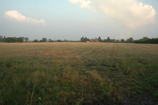
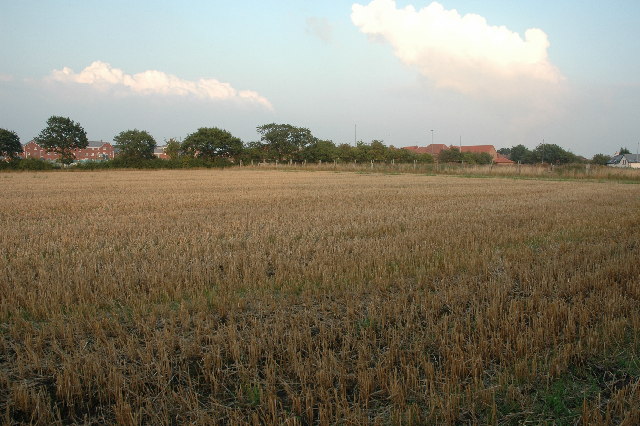
Appleton is a small village located in the county of Lancashire, in the North West of England. It is situated approximately 2 miles south of the town of Widnes, and around 14 miles east of the city of Liverpool. The village lies on the northern banks of the River Mersey, which forms the border between Lancashire and Cheshire.
Historically, Appleton was a rural agricultural community, with farming being the main occupation of its residents. Over the years, the village has undergone significant development and expansion, with the construction of residential areas and various amenities. Despite this growth, Appleton has managed to retain its charming rural character, with picturesque countryside surrounding the village.
One notable feature of Appleton is its close proximity to the iconic Mersey Gateway Bridge, which connects Widnes and Runcorn. The bridge has not only improved transport links for the village but has also enhanced its appeal as a residential area for commuters working in nearby cities.
In terms of facilities, Appleton offers a range of amenities to its residents. These include a primary school, a village hall, a local pub, and a small number of shops. The village is also well-served by public transportation, with regular bus services connecting it to surrounding towns and cities.
Overall, Appleton is a peaceful and scenic village that combines the tranquility of rural living with the convenience of nearby urban areas. Its rich history, beautiful surroundings, and range of amenities make it an attractive place to live or visit in Lancashire.
If you have any feedback on the listing, please let us know in the comments section below.
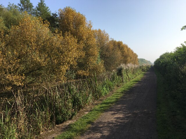
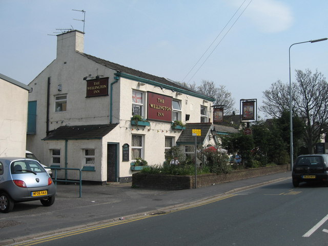
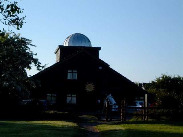
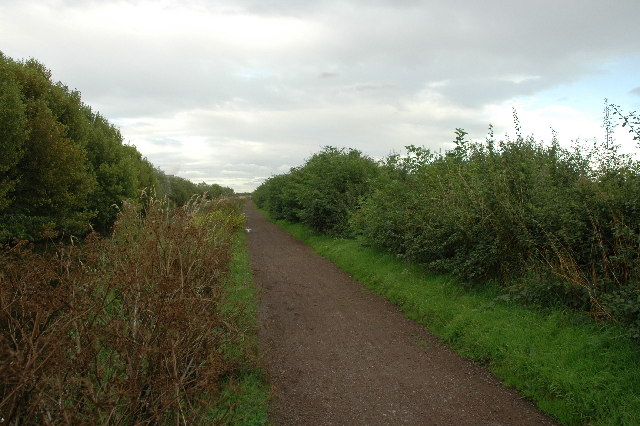
Appleton Images
Images are sourced within 2km of 53.375812/-2.729754 or Grid Reference SJ5186. Thanks to Geograph Open Source API. All images are credited.


Appleton is located at Grid Ref: SJ5186 (Lat: 53.375812, Lng: -2.729754)
Unitary Authority: Halton
Police Authority: Cheshire
What 3 Words
///teachers.zoos.forever. Near Widnes, Cheshire
Nearby Locations
Related Wikis
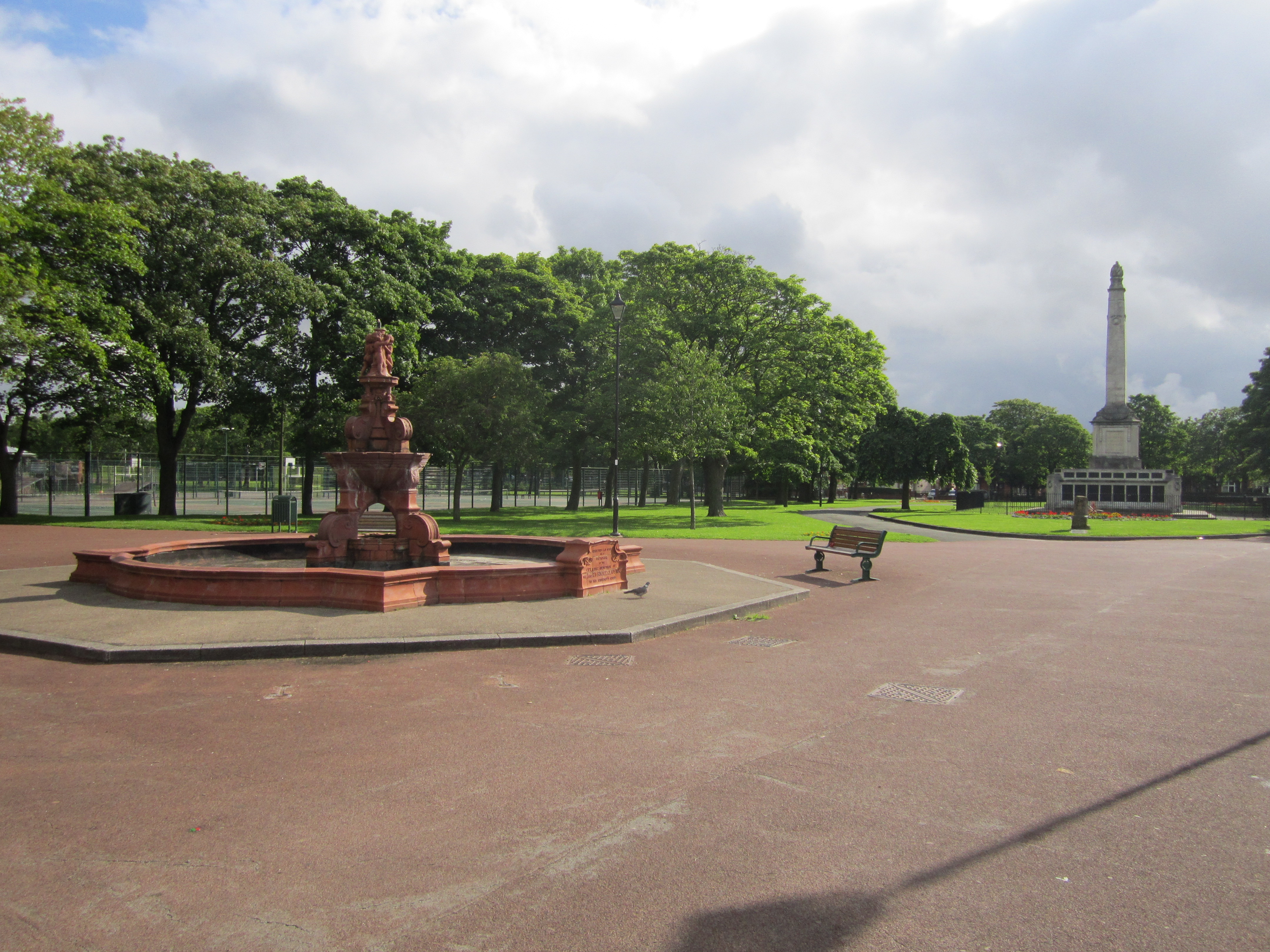
Victoria Park, Widnes
Victoria Park is the premier urban park in Widnes, Cheshire, England. It is managed by Halton Borough Council. == History == The park was opened in 1900...

Widnes War Memorial
Widnes War Memorial stands in Victoria Park, Widnes, Cheshire, England. It commemorates the serving men who lost their lives in the two world wars. The...

Wade Deacon High School
Wade Deacon High School is a coeducational secondary school with academy status in Widnes, Cheshire, England. == Admissions == Wade Deacon has a Public...

Widnes railway station
Widnes railway station (formerly Widnes North) is a railway station serving the industrial town of Widnes, Halton, England. It is recorded in the National...
Nearby Amenities
Located within 500m of 53.375812,-2.729754Have you been to Appleton?
Leave your review of Appleton below (or comments, questions and feedback).