Appleton

Settlement in Berkshire Vale of White Horse

England

Appleton

St. Lawrence, Besselsleigh: late July 2021
St. Lawrence, Besselsleigh: late July 2021 Credit: Basher Eyre

Appleton, Berkshire is a small village located in the county of Berkshire, England. Situated approximately 5 miles west of the town of Abingdon, Appleton is nestled in the picturesque Vale of White Horse. The village is known for its charming rural setting, with rolling hills, open fields, and a tranquil atmosphere.

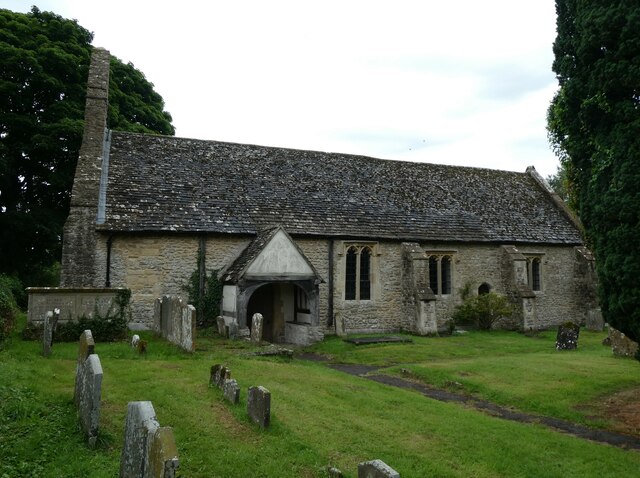
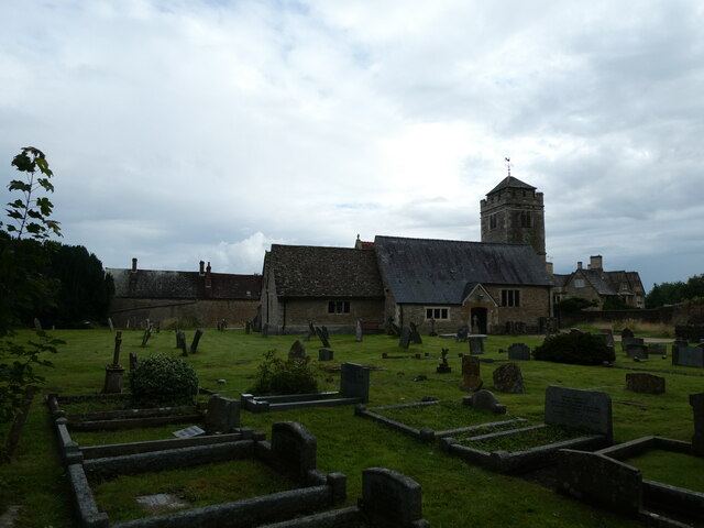
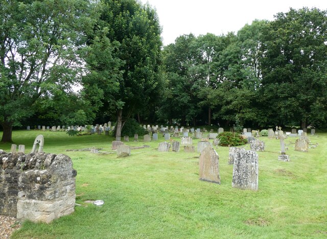
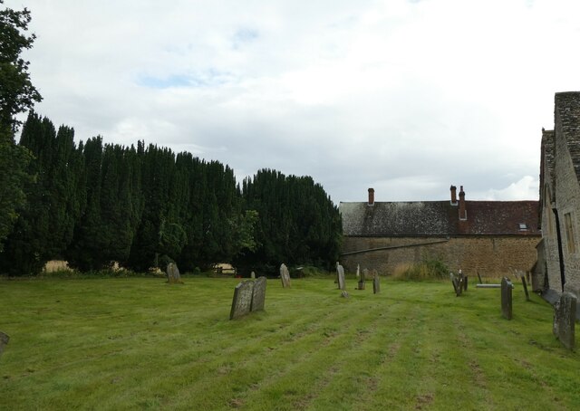
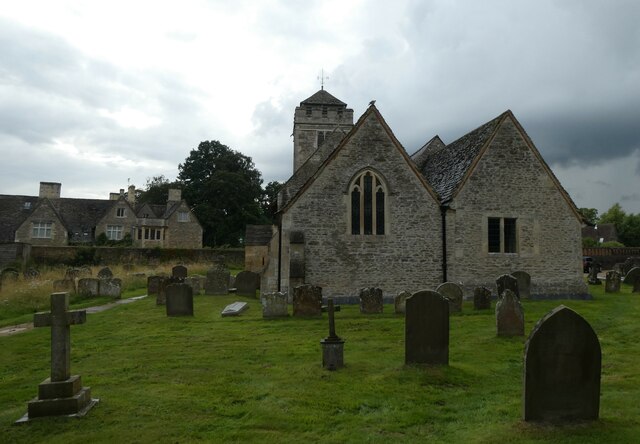
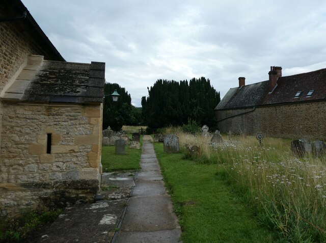
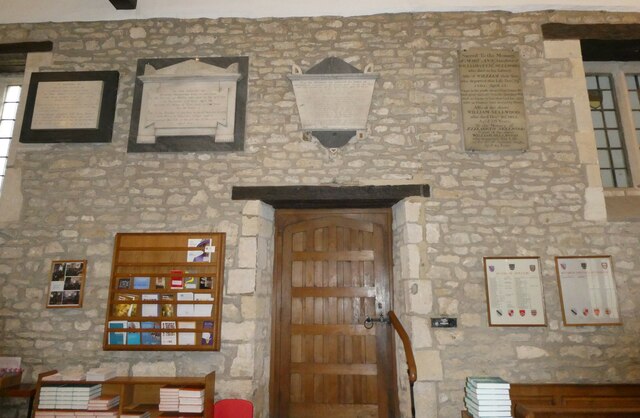
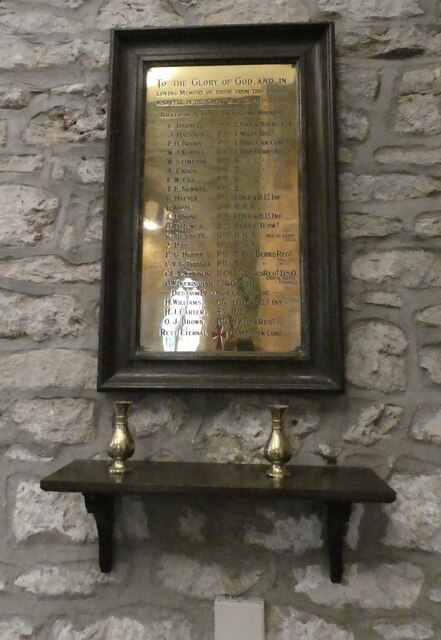
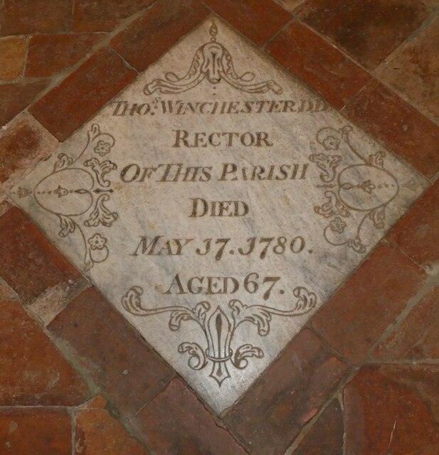
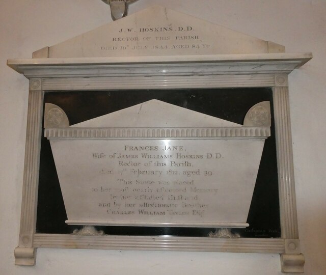
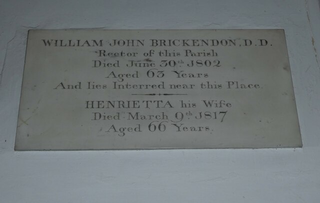
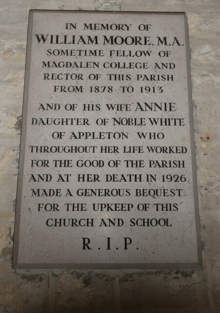
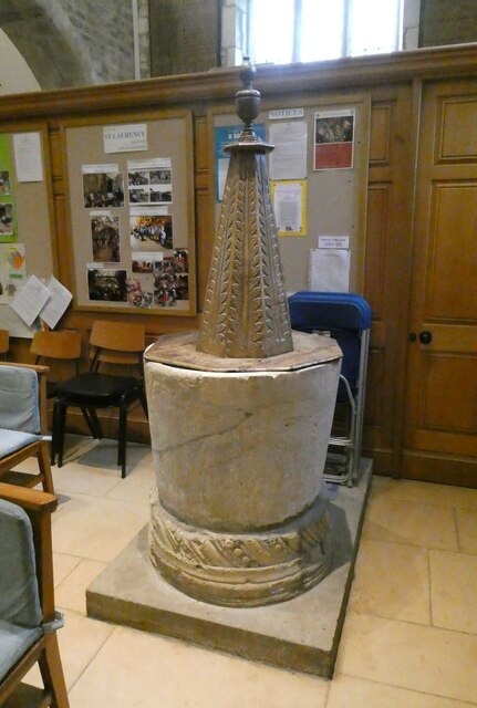
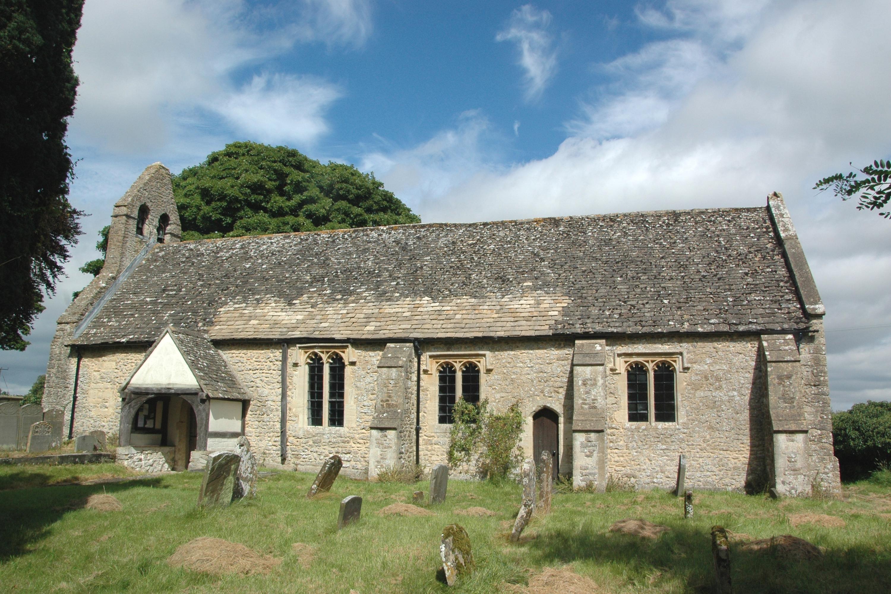
The origins of Appleton can be traced back to the Saxon era, and it has a rich history that can still be observed in the architecture of some of its buildings. The village features a mix of traditional thatched cottages, timber-framed houses, and more modern structures. The local parish church, St. Laurence's, is a focal point of the community and dates back to the 12th century.

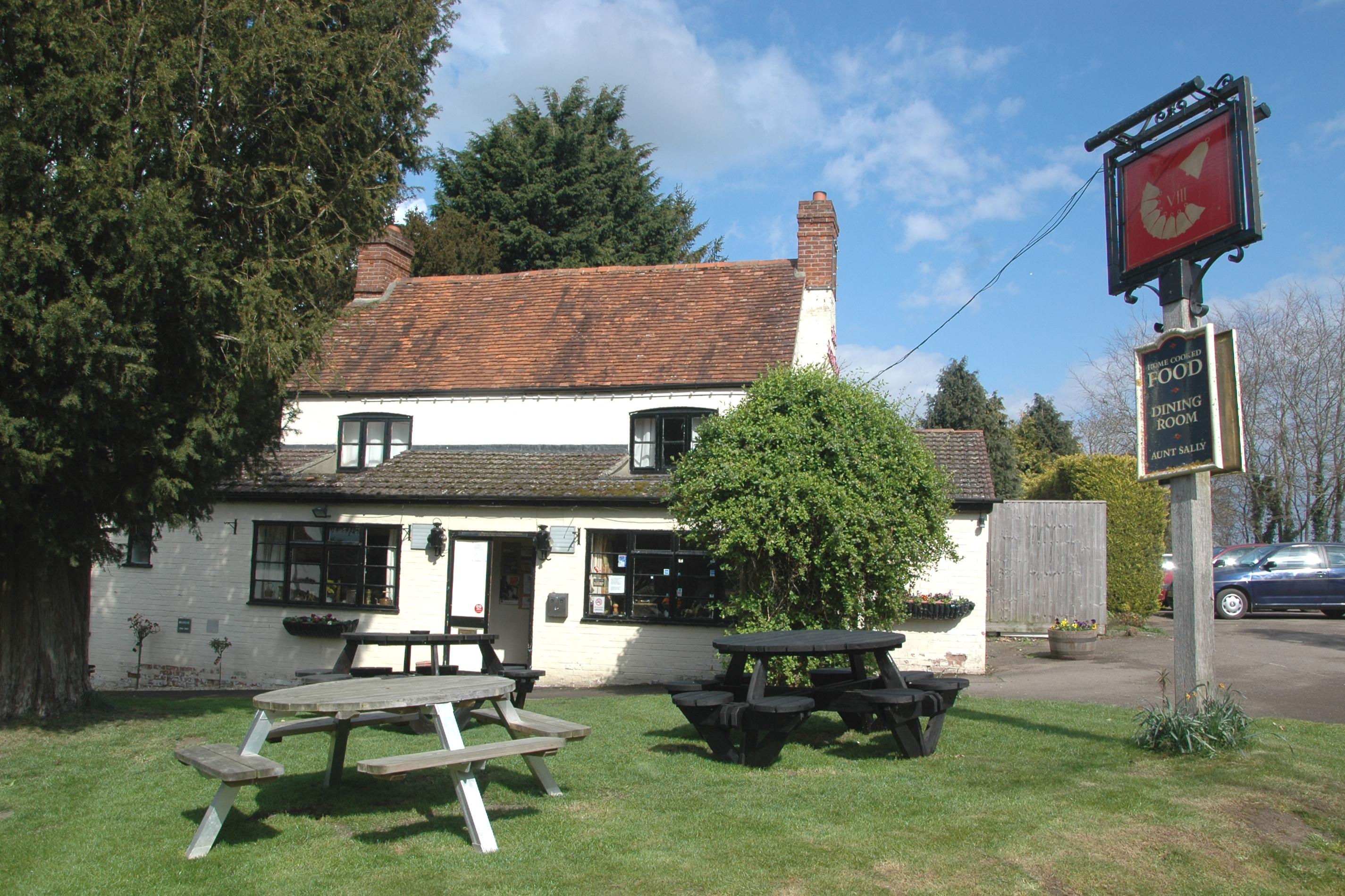
Despite its small size, Appleton offers a range of amenities for its residents. These include a village pub, The Bear and Ragged Staff, which serves as a gathering place for locals and visitors alike. The village also has a primary school, Post Office, and a community shop, providing essential services to the residents.

Surrounded by beautiful countryside, Appleton offers numerous opportunities for outdoor activities. The nearby Appleton Nature Reserve provides a haven for wildlife enthusiasts and nature lovers. The village is also well-connected to the wider region, with good transport links to nearby towns and cities.

Overall, Appleton, Berkshire is a charming and historic village that offers a peaceful and idyllic lifestyle for its residents. Its picturesque setting, community spirit, and range of amenities make it a desirable place to live for those seeking a rural retreat in the heart of Berkshire.

If you have any feedback on the listing, please let us know in the comments section below.

Appleton Images

Images are sourced within 2km of 51.709576/-1.365761 or Grid Reference SP4301. Thanks to Geograph Open Source API. All images are credited.

St. Lawrence, Besselsleigh: late July 2021
St Lawrence, Appleton: late July 2021
St Lawrence, Appleton: churchyard (a)
St Lawrence, Appleton: churchyard (b)
St Lawrence, Appleton: churchyard (c)
St Lawrence, Appleton: churchyard (d)
St Lawrence, Appleton: churchyard (e)
St Lawrence, Appleton: memorial (i)
St Lawrence, Appleton: memorial (iii)
St Lawrence, Appleton: memorial (iv)
St Lawrence, Appleton: memorial (v)
St Lawrence, Appleton: memorial (vi)
St Lawrence, Appleton: memorial (vii)
St Lawrence, Appleton: memorial (viii)
St Lawrence, Appleton: memorial (ix)
St Lawrence, Appleton: memorial (x)
St Lawrence, Appleton: font
Show me another place!

Appleton is located at Grid Ref: SP4301 (Lat: 51.709576, Lng: -1.365761)

Administrative County: Oxfordshire

District: Vale of White Horse

Police Authority: Thames Valley

What 3 Words

///martini.superbly.brands. Near Standlake, Oxfordshire

Related Wikis

Appleton, Oxfordshire

Appleton is a village in the civil parish of Appleton-with-Eaton, about 4 miles (6.4 km) northwest of Abingdon. Appleton was part of Berkshire until the...

Northmoor Lock

Northmoor Lock is a lock on the River Thames in Oxfordshire, England, on the northern bank about a mile from Northmoor. The lock was built in 1896 by the...

Besselsleigh

Besselsleigh or Bessels Leigh is an English village and civil parish about 4+1⁄2 miles (7 km) southwest of Oxford. Besselsleigh was part of Berkshire until...

Appleton-with-Eaton

Appleton-with-Eaton is a civil parish in the Vale of White Horse district of Oxfordshire, England, south west of Oxford. Historically it was part of Berkshire...

Parklands Campus

Parklands Campus was an independent Non-Maintained residential special school for boys and girls aged 11 to 19, near Abingdon, Oxfordshire, England. It...

Appleton Lower Common

Appleton Lower Common is a 47.3-hectare (117-acre) biological Site of Special Scientific Interest west of Appleton in Oxfordshire.The common has diverse...

Hart's Weir Footbridge

Hart's Weir Footbridge is a single-span concrete footbridge across the River Thames in Oxfordshire, England. Locally, it is also known as Rainbow Bridge...

Eaton, Oxfordshire

Eaton is a hamlet about 4+1⁄2 miles (7 km) west of Oxford and about 5 miles (8 km) northwest of Abingdon. Eaton is in the civil parish of Appleton-with...

Nearby Amenities

Located within 500m of 51.709576,-1.365761
Appleton
Is In: Oxfordshire, England, UK
Place: village
Source: NPE
Wikidata: Q4781382
Lat/Long: 51.7098231/-1.3627799
Addr Housenumber: 44
Lat/Long: 51.707663/-1.3659793
Turning Circle
Lat/Long: 51.7108916/-1.363138
Bus Stop
Appleton Green o/s
Bus: yes
Naptan AtcoCode: 340000050GRN
Naptan Bearing: SW
Naptan BusStopType: CUS
Naptan CommonName: Appleton Green
Naptan Indicator: Outside
Naptan Landmark: Appleton Green
Naptan NaptanCode: oxfamdpa
Naptan Street: Netherton Road
Naptan Verified: no
Public Transport: platform
Source: naptan_import
Lat/Long: 51.7094698/-1.3613467
Bus Stop
Appleton Green opp
Bus: yes
Naptan AtcoCode: 340000050OPP
Naptan Bearing: NE
Naptan CommonName: Appleton Green
Naptan Indicator: Opposite
Naptan Landmark: Appleton Green
Naptan NaptanCode: oxfamdmw
Naptan Street: Netherton Road
Naptan Verified: no
Public Transport: platform
Source: naptan_import
Lat/Long: 51.7094977/-1.36152
Bus Stop
Post Office
Bus: yes
Local Ref: opp
Naptan AtcoCode: 340001142OPP
Naptan Bearing: SW
Naptan CommonName: Post Office
Naptan Indicator: Opposite
Naptan Landmark: Post Office
Naptan NaptanCode: oxfadawt
Naptan Street: Eaton Road
Naptan Verified: no
Public Transport: platform
Source: naptan_import
Source Name: OS_OpenData_Locator
Lat/Long: 51.7118381/-1.3603436
Bus Stop
Post Office
Bus: yes
Local Ref: o/s
Naptan AtcoCode: 340001142OUT
Naptan Bearing: NE
Naptan CommonName: Post Office
Naptan Indicator: Outside
Naptan Landmark: Post Office
Naptan NaptanCode: oxfadawp
Naptan Street: Eaton Road
Naptan Verified: no
Public Transport: platform
Source: naptan_import
Lat/Long: 51.711732/-1.360678
Bus Stop
Netherton Road Allotments opp
Bus: yes
Naptan AtcoCode: 340001143OPP
Naptan Bearing: SW
Naptan BusStopType: CUS
Naptan CommonName: Netherton Road
Naptan Indicator: Opposite Allotments
Naptan Landmark: Field Farm
Naptan NaptanCode: oxfadawm
Naptan Street: Netherton Road
Naptan Verified: no
Public Transport: platform
Source: naptan_import
Lat/Long: 51.7068589/-1.3673751
Bus Stop
Netherton Road Allotments o/s
Bus: yes
Naptan AtcoCode: 340001143OUT
Naptan Bearing: NE
Naptan CommonName: Netherton Road
Naptan Indicator: Outside Allotments
Naptan Landmark: Field Farm
Naptan NaptanCode: oxfadawj
Naptan Street: Netherton Road
Naptan Verified: no
Public Transport: platform
Source: naptan_import
Lat/Long: 51.7069928/-1.3671995
Post Office
Appleton Post Office
Addr Postcode: OX13 5JH
Branch: Appleton
Brand: Post Office
Brand Wikidata: Q1783168
Check Date: 2020-02-20
Contact Website: https://www.postoffice.co.uk/branch-finder/2171376/appleton
Ref Pol Id: 7995
Lat/Long: 51.7120041/-1.3606452
Pub
The Plough
Contact Website: http://www.theploughappleton.tel/
Lat/Long: 51.7100316/-1.3611656
Post Box
Ref: OX13 1053
Lat/Long: 51.71193/-1.36044
Old Phone: +44 1865 862654
Removed Amenity: telephone
Lat/Long: 51.7119472/-1.3604229
Appleton Community Shop
Phone: +441865863191
Shop: convenience
Lat/Long: 51.7119951/-1.3605421
Power: pole
Source: Bing
Lat/Long: 51.7130219/-1.3649341
Power: pole
Source: Bing
Lat/Long: 51.7123026/-1.3660086
Power: pole
Source: Bing
Lat/Long: 51.7091975/-1.3704946
Power: pole
Source: Bing
Lat/Long: 51.7106869/-1.3682789
Power: pole
Source: Bing
Lat/Long: 51.7113533/-1.367375
Power: pole
Source: Bing
Lat/Long: 51.7118274/-1.3666872
Power: pole
Source: Bing
Lat/Long: 51.7081258/-1.3719696
Historic: memorial
Memorial: war_memorial
Lat/Long: 51.7093957/-1.3616028
Post Box
Post Box Type: wall
Ref: OX13 1077
Royal Cypher: VR
Royal Cypher Wikidata: Q33102356
Lat/Long: 51.7085631/-1.3634419
Waste Basket
Lat/Long: 51.7095601/-1.3615912
Bench
Lat/Long: 51.7095551/-1.3615978
Badger's Well
Natural: spring
Lat/Long: 51.7103979/-1.3704774
Defibrillator
Access: yes
Defibrillator Location: outside Appleton Village Hall
Emergency: defibrillator
Indoor: no
Ref GB The Circuit: F5474723-BEE3-41F0-A721-AD40009AD44D
Lat/Long: 51.7090725/-1.3615233
Tourism: information
Lat/Long: 51.7095847/-1.3615263
Defibrillator
Defibrillator Location: Attached to the wire fence
Emergency: defibrillator
Indoor: no
Lat/Long: 51.7115788/-1.3644216
The data included in this document is from www.openstreetmap.org. The data is made available under ODbL.

Have you been to Appleton?

Leave your review of Appleton below (or comments, questions and feedback).