Catterlen Wood
Wood, Forest in Cumberland Eden
England
Catterlen Wood
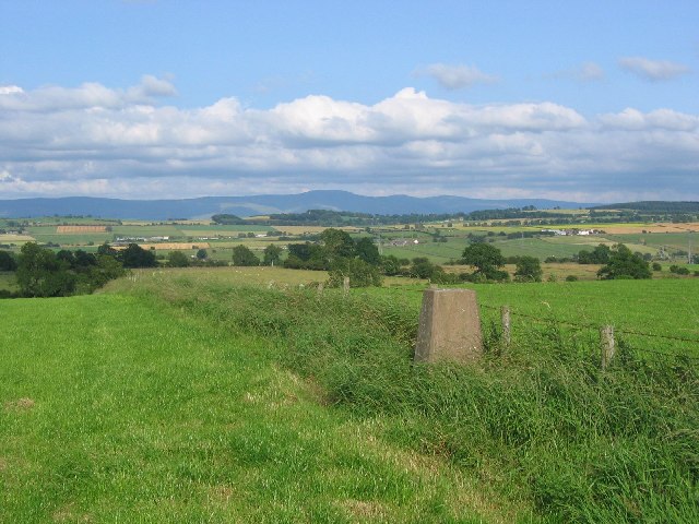
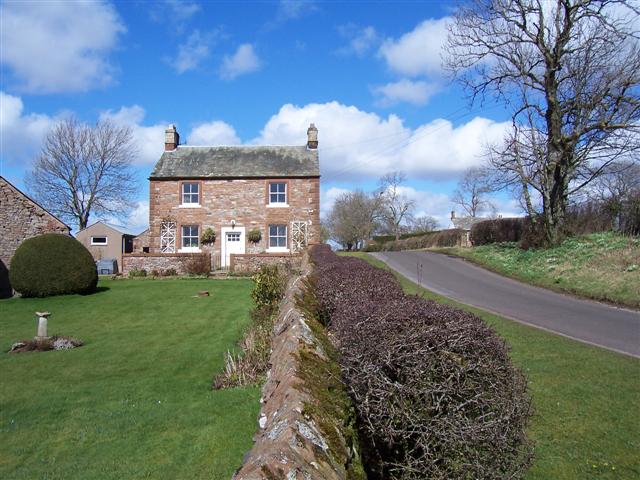
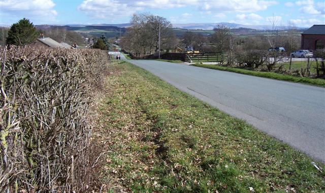
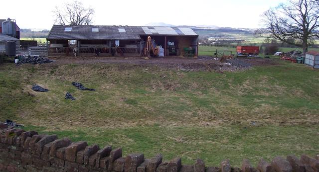
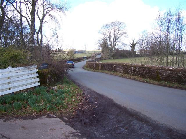
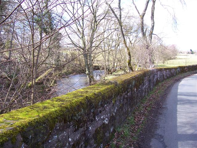
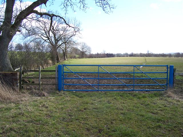
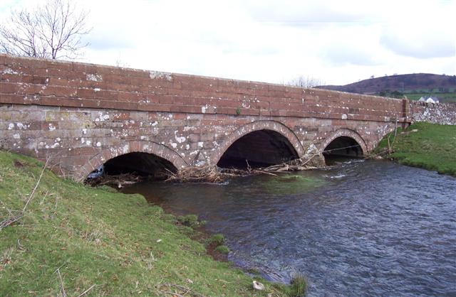
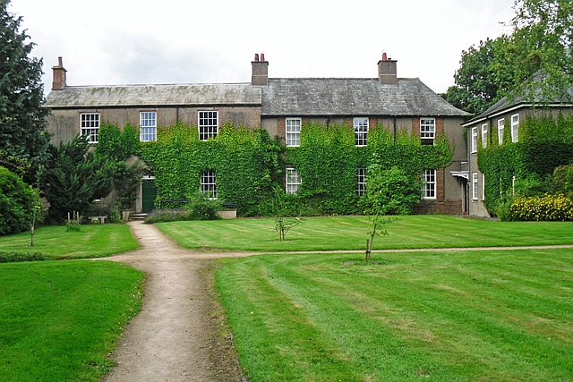
Catterlen Wood is a picturesque woodland located in the county of Cumberland, in the northwest region of England. Situated near the village of Catterlen, this woodland covers a vast area and is known for its natural beauty and diverse ecosystem.
The wood is primarily composed of deciduous trees, such as oak, beech, and birch, which provide a dense canopy that filters sunlight and creates a tranquil and shaded environment. The forest floor is adorned with a variety of flora, including bluebells, primroses, and ferns, creating a vibrant and colorful carpet during the spring and summer months.
Catterlen Wood is home to a rich array of wildlife, making it a popular destination for nature enthusiasts and birdwatchers. It provides a habitat for numerous bird species, including woodpeckers, owls, and various songbirds. Small mammals, such as squirrels, rabbits, and hedgehogs, can also be spotted within the woodland.
The wood offers a network of walking trails, allowing visitors to explore its natural wonders at their own pace. These paths meander through the trees, offering glimpses of picturesque streams and peaceful clearings along the way. The peaceful atmosphere and serenity of Catterlen Wood make it an ideal location for those seeking respite from the bustle of everyday life.
With its stunning scenery, diverse wildlife, and tranquil ambiance, Catterlen Wood is a true gem of Cumberland. Whether one seeks a leisurely stroll, a birdwatching adventure, or simply a moment of tranquility, this woodland is a must-visit destination for nature lovers and outdoor enthusiasts alike.
If you have any feedback on the listing, please let us know in the comments section below.
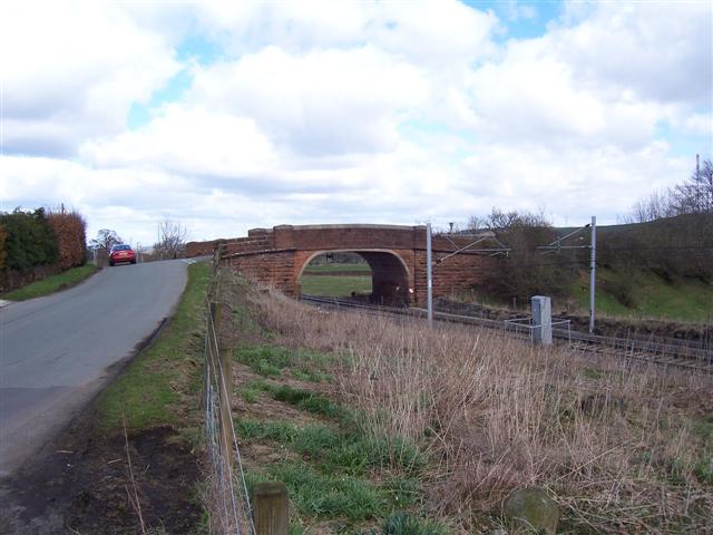
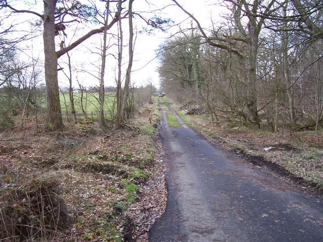
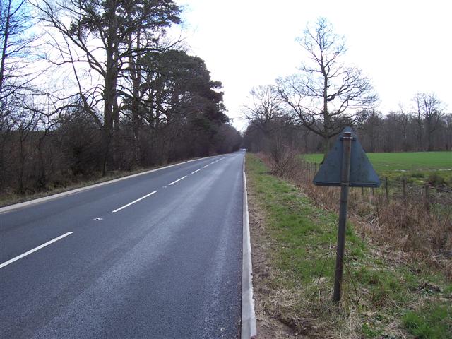
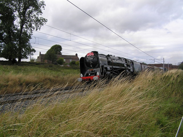
Catterlen Wood Images
Images are sourced within 2km of 54.696478/-2.8070528 or Grid Reference NY4833. Thanks to Geograph Open Source API. All images are credited.


Catterlen Wood is located at Grid Ref: NY4833 (Lat: 54.696478, Lng: -2.8070528)
Administrative County: Cumbria
District: Eden
Police Authority: Cumbria
What 3 Words
///whirlpool.cove.mental. Near Penrith, Cumbria
Nearby Locations
Related Wikis

Catterlen
Catterlen is a small village and civil parish 3 miles (4.8 km) north west of Penrith, Cumbria. At the 2001 census the civil parish had a population of...

Penrith Rural District
Penrith was a rural district within the administrative county of Cumberland, England that existed from 1894 to 1974 with slight boundary changes in 1934...

Laithes
Laithes is a hamlet in the civil parish of Skelton, in the English county of Cumbria. It belongs to Eden District. Laithes's region is North West. Height...

Newton Reigny
Newton Reigny is a village and former civil parish, now in the parish of Catterlen, in the Eden District, in the English county of Cumbria, near the town...

Hutton in the Forest
Hutton in the Forest is a Grade I listed country house near the village of Skelton in the historic county of Cumberland, which now forms part of the modern...

Unthank End
Unthank End is a hamlet in Cumbria, England. == See also == Listed buildings in Skelton, Cumbria == References == UK Coal Board The geographic coordinates...
Newton Rigg College
Newton Rigg College was an agricultural college near Penrith, Cumbria, England, founded in 1896 as the Cumberland and Westmorland Farm School. From 2011...

Brockleymoor
Brockleymoor was a hamlet in Cumbria, England, but it is now part of the village of Plumpton. It is located several miles north of Penrith, not far from...
Nearby Amenities
Located within 500m of 54.696478,-2.8070528Have you been to Catterlen Wood?
Leave your review of Catterlen Wood below (or comments, questions and feedback).