Tucker's Grove
Wood, Forest in Somerset
England
Tucker's Grove
Tucker's Grove, Somerset (Wood, Forest) is a picturesque natural area located in Somerset County, England. Situated amidst the rolling hills and verdant landscapes, this serene destination is a haven for nature enthusiasts and those seeking tranquility away from the hustle and bustle of city life.
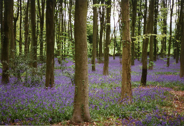
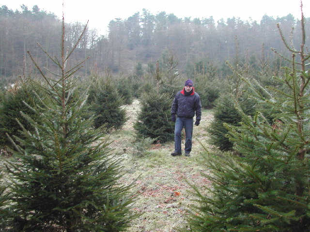
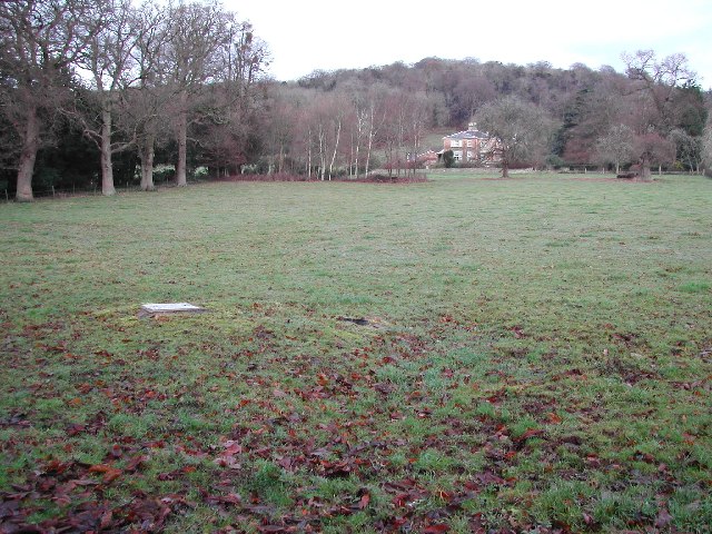
Covering a sprawling area of approximately 500 acres, Tucker's Grove is renowned for its dense woodland and ancient forest. The forest is a mesmerizing blend of deciduous and coniferous trees, creating a diverse ecosystem that supports a wide array of flora and fauna. The canopy of trees provides a cool respite during the summer months and transforms into a breathtaking display of colors during the autumn season.
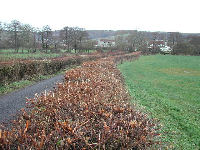
The forest is crisscrossed by numerous well-maintained trails, offering visitors the opportunity to explore its natural wonders at their own pace. Along these trails, one can discover hidden glades, babbling brooks, and even stumble upon small clearings that provide stunning panoramic views of the surrounding countryside. Tucker's Grove is also home to an abundance of wildlife, including deer, foxes, rabbits, and a rich variety of bird species, making it a paradise for birdwatchers and animal lovers.
In addition to its natural beauty, Tucker's Grove also boasts a visitor center that provides valuable information about the forest's history, wildlife, and conservation efforts. The center offers educational programs and guided tours, allowing visitors to gain a deeper understanding of the forest's ecological significance.
Overall, Tucker's Grove, Somerset (Wood, Forest) is a captivating destination that offers a peaceful escape into nature's embrace. Its awe-inspiring beauty and diverse ecosystem make it a must-visit for any nature lover or those seeking solace in the midst of nature's wonders.
If you have any feedback on the listing, please let us know in the comments section below.
Tucker's Grove Images
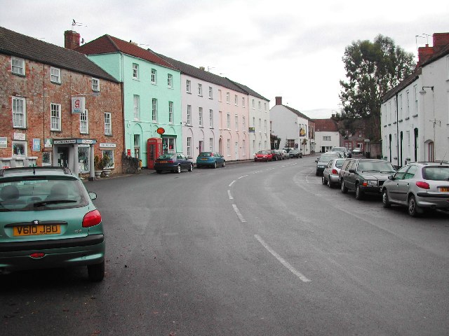
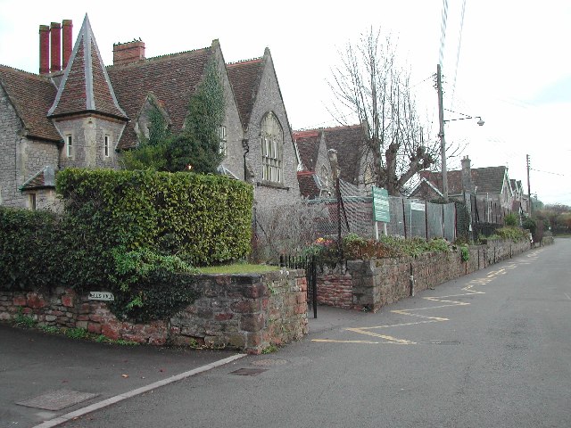
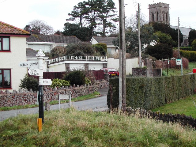
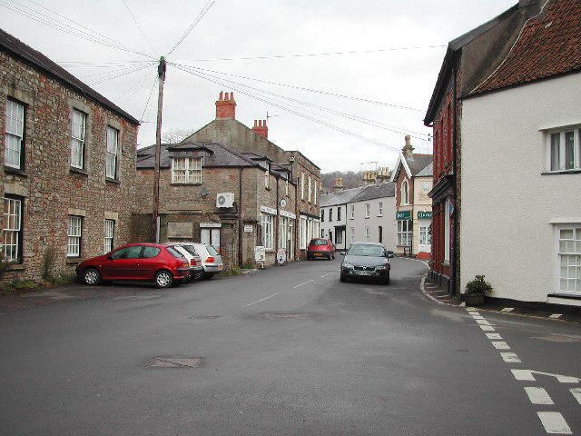
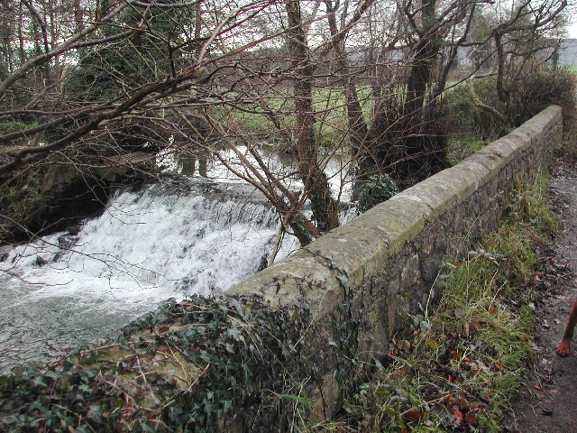
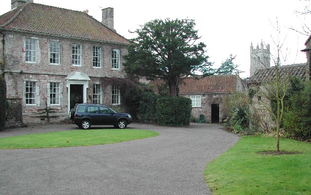
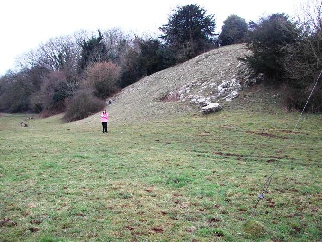
Images are sourced within 2km of 51.364696/-2.7471532 or Grid Reference ST4863. Thanks to Geograph Open Source API. All images are credited.

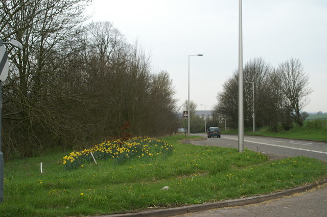

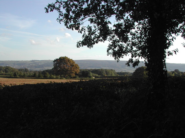
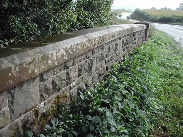

Tucker's Grove is located at Grid Ref: ST4863 (Lat: 51.364696, Lng: -2.7471532)
Unitary Authority: North Somerset
Police Authority: Avon and Somerset
What 3 Words
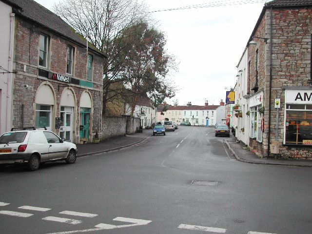
///circling.gobbling.sprinter. Near Wrington, Somerset
Nearby Locations
Related Wikis

Wrington
Wrington is a village and a civil and ecclesiastical parish on the north slopes of the Mendip Hills in North Somerset, England. Both include nearby Redhill...
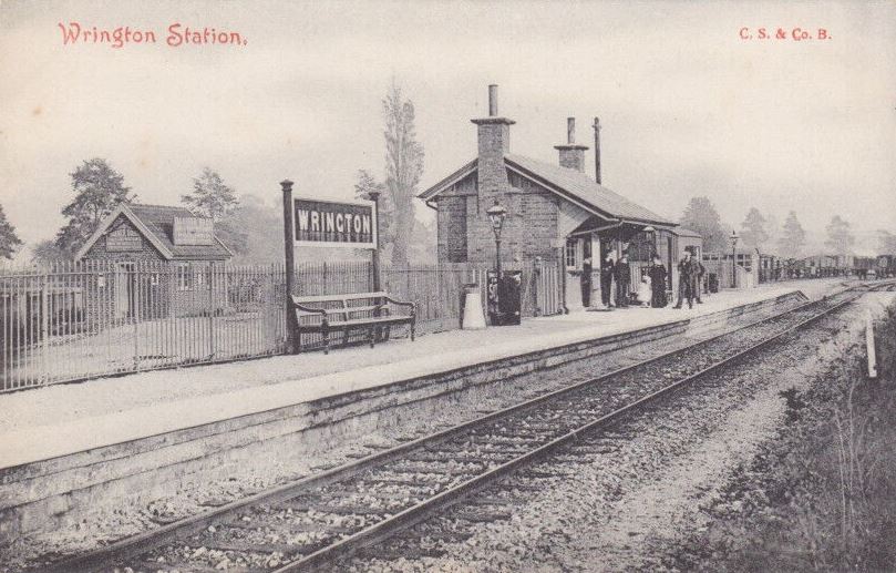
Wrington railway station
Wrington railway station was a station at Wrington on the Wrington Vale Light Railway, which ran from Congresbury to Blagdon, in Somerset, England. The...

Redhill, Somerset
Redhill is a compact village at the foot of a 173 m (AOD) hill of the same name to its east and north-east. Its lower level local authority is the civil...

Lulsgate Plateau
Lulsgate Plateau is the name given to the Carboniferous Limestone hills which form a northern outlier of the Mendip Hills, southwest of Bristol, England...

Goblin Combe
Goblin Combe is a dry valley in North Somerset which stretches for approximately 3½ km from Redhill, near Bristol International Airport on the A38, through...
Langford railway station, Somerset
Langford railway station served the village of Lower Langford, North Somerset, England, from 1901 to 1931 on the Wrington Vale Light Railway. == History... ==

Bristol Airport
Bristol Airport (IATA: BRS, ICAO: EGGD), at Lulsgate Bottom, on the northern slopes of the Mendip Hills, in North Somerset, is an international airport...

King's Wood and Urchin Wood SSSI
King's Wood and Urchin Wood SSSI (grid reference ST454645) is a 128.1 hectare biological Site of Special Scientific Interest near the villages of Cleeve...
Nearby Amenities
Located within 500m of 51.364696,-2.7471532Have you been to Tucker's Grove?
Leave your review of Tucker's Grove below (or comments, questions and feedback).