West Coppice

Wood, Forest in Lancashire Lancaster

England

West Coppice

Summer House, Hawes Water On the Gait Barrows National Nature Reserve. Restored in 2020 using authentic materials and incorporating bat-friendly features. Also see <a href="https://www.geograph.org.uk/photo/6905993">SD4776 : Cabin at Hawes Water</a> (2021), <a href="https://www.geograph.org.uk/photo/6627450">SD4776 : Attractive to Hansel and Gretel ?</a> (2020) and <a href="https://www.geograph.org.uk/photo/4384183">SD4776 : Ruined building by Hawes Water</a> (2015).
Summer House, Hawes Water Credit: Ian Taylor

West Coppice is a picturesque woodland located in the county of Lancashire, England. Situated in the heart of the region, this woodland is known for its natural beauty and abundance of wildlife. Covering an area of approximately 100 hectares, West Coppice is a popular destination for nature enthusiasts and hikers alike.

The woodland is characterized by its dense canopy of trees, predominantly consisting of oak, beech, and birch. These towering trees provide a serene and tranquil atmosphere, shielding visitors from the outside world and creating a sense of calm. The forest floor is covered in a thick layer of fallen leaves and moss, adding to the enchanting ambiance.

West Coppice is home to a diverse range of wildlife. Birds such as woodpeckers, owls, and thrushes can be heard singing in the trees, while small mammals like squirrels, rabbits, and hedgehogs scurry about on the forest floor. The woodland also supports a variety of plant species, including bluebells, wild garlic, and ferns, which bloom in abundance during the spring and summer months.

Visitors to West Coppice can enjoy a range of activities, such as walking or cycling along the numerous trails that crisscross through the woodland. Several picnic spots are scattered throughout the area, providing the perfect opportunity to relax and immerse oneself in nature. The forest also offers breathtaking views, especially during autumn when the leaves turn vibrant shades of red and gold.

Overall, West Coppice in Lancashire is a haven for nature lovers, offering a peaceful retreat and the chance to reconnect with the natural world.

If you have any feedback on the listing, please let us know in the comments section below.
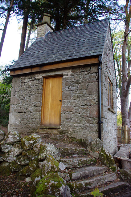
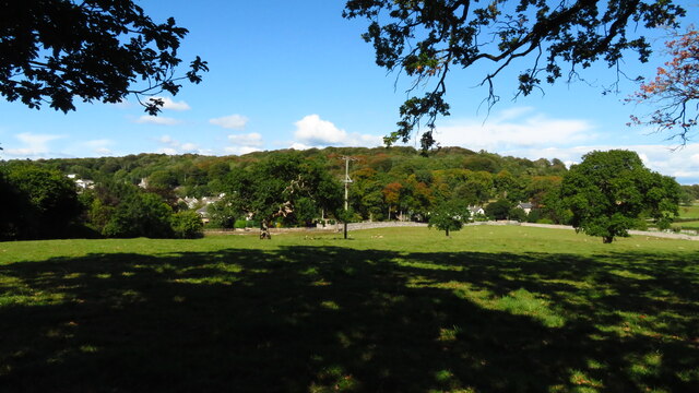
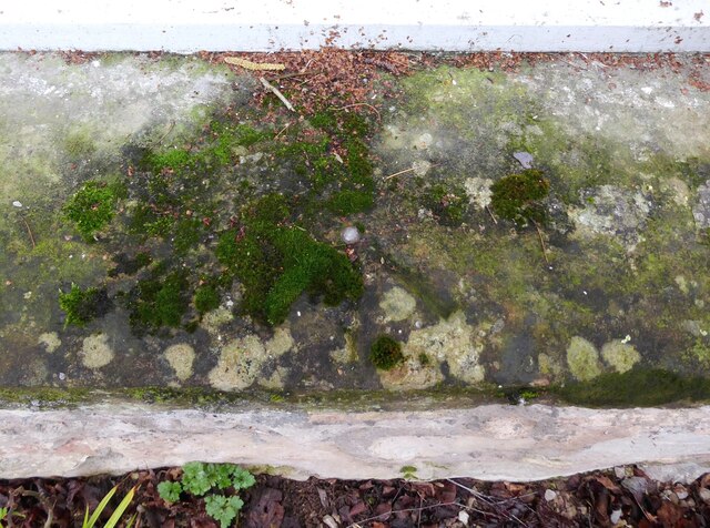
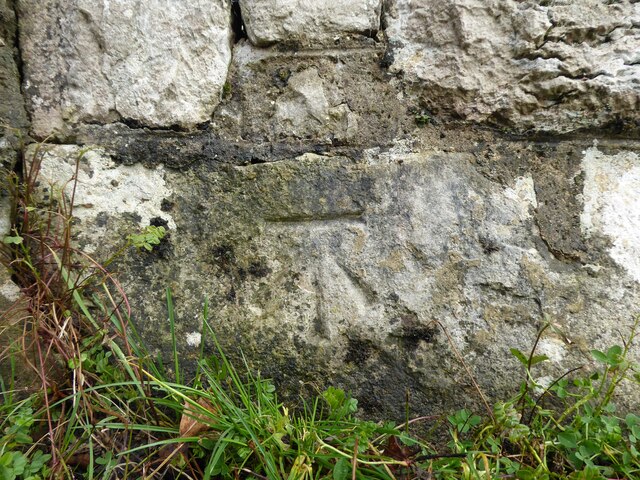
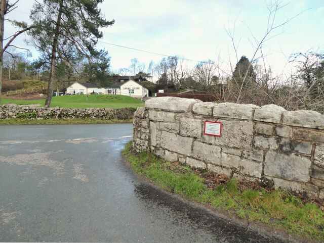
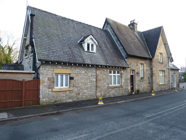
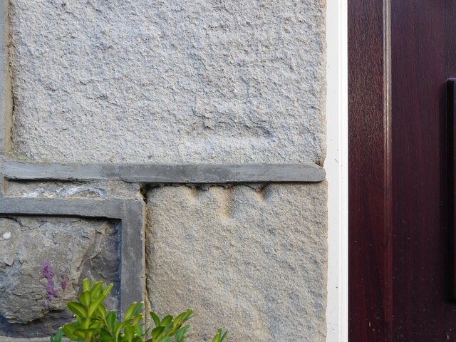
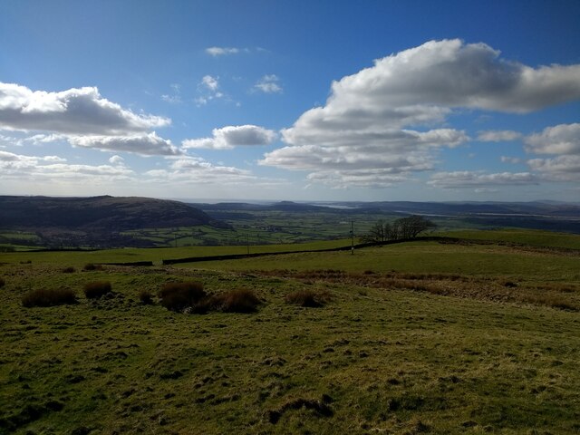
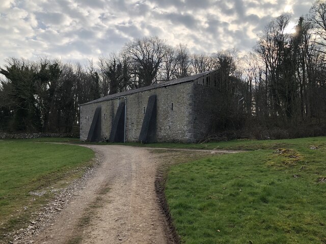
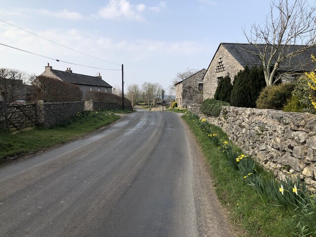
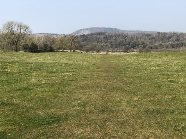
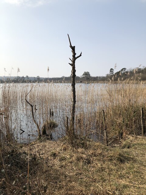
West Coppice Images

Images are sourced within 2km of 54.181653/-2.7972977 or Grid Reference SD4876. Thanks to Geograph Open Source API. All images are credited.

Summer House, Hawes Water On the Gait Barrows National Nature Reserve. Restored in 2020 using authentic materials and incorporating bat-friendly features. Also see <a href="https://www.geograph.org.uk/photo/6905993">SD4776 : Cabin at Hawes Water</a> (2021), <a href="https://www.geograph.org.uk/photo/6627450">SD4776 : Attractive to Hansel and Gretel ?</a> (2020) and <a href="https://www.geograph.org.uk/photo/4384183">SD4776 : Ruined building by Hawes Water</a> (2015).
Summer House, Hawes Water
On the Gait Barrows National Nature Reserve. Restored in 2020 using authentic materials and incorporating bat-friendly features. Also see SD4776 : Cabin at Hawes Water (2021), SD4776 : Attractive to Hansel and Gretel ? (2020) and SD4776 : Ruined building by Hawes Water (2015).
Potter Hill area of Silverdale
Benchmark, Leighton Moss, Myers Farm Detail of the Ordnance Survey rivet benchmark with a cut mark arrow on the stone window sill of Myers Farm.  The benchmark marks a height of 9.0258 m above sea level (Ordnance Datum Newlyn) last verified in 1970 (location photograph <a href="https://www.geograph.org.uk/photo/7109835">SD4775 : Myers Farm</a>).
Myers Farm is now the office, visitor centre and café for the Leighton Moss RSPB Reserve.
Benchmark, Leighton Moss, Myers Farm
Detail of the Ordnance Survey rivet benchmark with a cut mark arrow on the stone window sill of Myers Farm. The benchmark marks a height of 9.0258 m above sea level (Ordnance Datum Newlyn) last verified in 1970 (location photograph SD4775 : Myers Farm). Myers Farm is now the office, visitor centre and café for the Leighton Moss RSPB Reserve.
Myers Farm Formerly a working farm, Myers Farm is now the office, visitor centre and café for the Leighton Moss RSPB Reserve.
There is an Ordnance Survey rivet benchmark on the window sill in the centre of the photograph (detail photograph <a href="https://www.geograph.org.uk/photo/7109824">SD4775 : Benchmark, Leighton Moss, Myers Farm</a>).
Myers Farm
Formerly a working farm, Myers Farm is now the office, visitor centre and café for the Leighton Moss RSPB Reserve. There is an Ordnance Survey rivet benchmark on the window sill in the centre of the photograph (detail photograph SD4775 : Benchmark, Leighton Moss, Myers Farm).
Benchmark, Storrs Lane Railway Bridge Detail of the Ordnance Survey cut benchmark on the north parapet of Storrs Lane Railway Bridge.  The benchmark marks a height of 14.8791m above sea level (Ordnance Datum Newlyn) last verified in 1970 (location photograph <a href="https://www.geograph.org.uk/photo/7110063">SD4775 : Bridge Parapet</a>).
Benchmark, Storrs Lane Railway Bridge
Detail of the Ordnance Survey cut benchmark on the north parapet of Storrs Lane Railway Bridge. The benchmark marks a height of 14.8791m above sea level (Ordnance Datum Newlyn) last verified in 1970 (location photograph SD4775 : Bridge Parapet).
Bridge Parapet The parapet of Storrs Lane Railway Bridge with the clubhouse of Silverdale Golf Club in the background.
There is an Ordnance Survey cut benchmark just above ground level at the end of the bridge parapet (photograph <a href="https://www.geograph.org.uk/photo/7110057">SD4775 : Benchmark, Storrs Lane Railway Bridge</a>).
Bridge Parapet
The parapet of Storrs Lane Railway Bridge with the clubhouse of Silverdale Golf Club in the background. There is an Ordnance Survey cut benchmark just above ground level at the end of the bridge parapet (photograph SD4775 : Benchmark, Storrs Lane Railway Bridge).
Silverdale Station Built by the Ulverstone and Lancaster Railway and Silverdale Station opened in 1857.  The station building is now a private house but the platforms beyond are still in use.
There is an Ordnance Survey cut benchmark on one of the stone quoins to the left of the brown door (photograph <a href="https://www.geograph.org.uk/photo/7111705">SD4775 : Benchmark, Silverdale Station House</a>).
Silverdale Station
Built by the Ulverstone and Lancaster Railway and Silverdale Station opened in 1857. The station building is now a private house but the platforms beyond are still in use. There is an Ordnance Survey cut benchmark on one of the stone quoins to the left of the brown door (photograph SD4775 : Benchmark, Silverdale Station House).
Benchmark, Silverdale Station House Detail of the Ordnance Survey cut benchmark beside the door of Silverdale Station House. The benchmark marks a height of 10.2174m above mean sea level (Ordnance Datum Newlyn) last verified in 1970 (location photograph <a href="https://www.geograph.org.uk/photo/7111695">SD4775 : Silverdale Station</a>).
Benchmark, Silverdale Station House
Detail of the Ordnance Survey cut benchmark beside the door of Silverdale Station House. The benchmark marks a height of 10.2174m above mean sea level (Ordnance Datum Newlyn) last verified in 1970 (location photograph SD4775 : Silverdale Station).
View towards Silverdale from Scout Hill
RSPB Leighton Moss The Nature Reserve at Leighton Moss contains the largest area of reed beds in NW England. the reserve is owned and managed by the RSPB.
RSPB Leighton Moss
The Nature Reserve at Leighton Moss contains the largest area of reed beds in NW England. the reserve is owned and managed by the RSPB.
Barn at Grisedale Farm
Road through Yealand Storrs
Path through field to Hawes Water
Hawes Water The small marl lake is a SSSI. Info from Wiki here: <span class="nowrap"><a title="https://en.wikipedia.org/wiki/Hawes_Water_(Silverdale)" rel="nofollow ugc noopener" href="https://en.wikipedia.org/wiki/Hawes_Water_(Silverdale)">Link</a><img style="margin-left:2px;" alt="External link" title="External link - shift click to open in new window" src="https://s1.geograph.org.uk/img/external.png" width="10" height="10"/></span>
Hawes Water
The small marl lake is a SSSI. Info from Wiki here: LinkExternal link
The Pepper Pot Stone folly tower built to commemorate the Golden Jubilee of Queen Victoria in 1887.
The Pepper Pot
Stone folly tower built to commemorate the Golden Jubilee of Queen Victoria in 1887.
Silverdale Station A Northern service to Barrow-in-Furness arriving at Silverdale.
Silverdale Station
A Northern service to Barrow-in-Furness arriving at Silverdale.
Middlebarrow Quarry From Eaves Wood
Middlebarrow Quarry
From Eaves Wood
Jubilee Memorial (The Pepper Pot) On Castlebarrow Head
Jubilee Memorial (The Pepper Pot)
On Castlebarrow Head
Show me another place!

West Coppice is located at Grid Ref: SD4876 (Lat: 54.181653, Lng: -2.7972977)

Administrative County: Lancashire

District: Lancaster

Police Authority: Lancashire

What 3 Words

///brave.signified.entertainer. Near Silverdale, Lancashire

Nearby Locations

East Coppice West Coppice

Related Wikis

Hawes Water (Silverdale)

Hawes Water, sometimes called Hawes Tarn, is a lake in north west Lancashire, England, in the parish of Silverdale, the Arnside and Silverdale AONB, and...
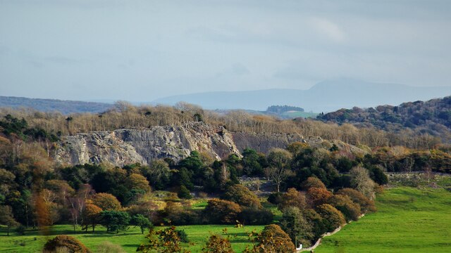
Trowbarrow Quarry

Trowbarrow Quarry is a disused limestone quarry near Silverdale, Lancashire, England, which is a geological Site of Special Scientific Interest and a Local...

Arnside and Silverdale National Landscape

Arnside and Silverdale National Landscape (legally and previously known as an Area of Outstanding Natural Beauty or AONB) in England, is on the border...

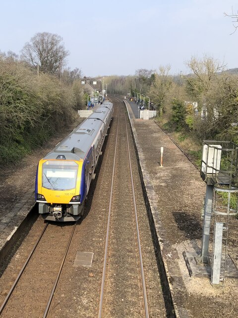
Silverdale railway station

Silverdale is a railway station on the Furness Line, which runs between Barrow-in-Furness and Lancaster. The station, situated 9+1⁄2 miles (15 km) north...

Nearby Amenities

Located within 500m of 54.181653,-2.7972977
Barrier: stile
Lat/Long: 54.1811453/-2.7899469
Barrier: kissing_gate
Source: Recent walk and GPS
Lat/Long: 54.1828963/-2.8046757
Trowbarrow
Ele: 73
Natural: peak
Lat/Long: 54.1774548/-2.7965787
Barrier: stile
Foot: yes
Lat/Long: 54.1815539/-2.7945399
Tourism: viewpoint
Lat/Long: 54.1774769/-2.7966328
Generator Method: photovoltaic
Generator Orientation: east
Generator Output Electricity: yes
Generator Solar Modules: 10
Generator Source: solar
Generator Type: solar_photovoltaic_panel
Location: roof
Power: generator
Lat/Long: 54.1786746/-2.8012278
Generator Method: photovoltaic
Generator Orientation: south
Generator Output Electricity: yes
Generator Solar Modules: 6
Generator Source: solar
Generator Type: solar_photovoltaic_panel
Location: roof
Power: generator
Lat/Long: 54.1786958/-2.8011629
Natural: spring
Lat/Long: 54.1844514/-2.7967714
Barrier: kissing_gate
Lat/Long: 54.1812055/-2.797367
Bench
Lat/Long: 54.1843714/-2.8026677
Bench
Lat/Long: 54.184382/-2.8026503
The data included in this document is from www.openstreetmap.org. The data is made available under ODbL.

Have you been to West Coppice?

Leave your review of West Coppice below (or comments, questions and feedback).