Furzy Wood Copse
Wood, Forest in Dorset
England
Furzy Wood Copse
Furzy Wood Copse is a picturesque woodland located in the county of Dorset, England. Covering an area of approximately 20 acres, this enchanting forest is a haven for nature enthusiasts and those seeking a peaceful retreat from the bustling city life.
The copse is characterized by its dense and diverse vegetation, with an abundance of mature trees such as oak, beech, and ash. The canopy formed by these majestic trees creates a cool and shaded atmosphere, making it an ideal spot for a leisurely stroll on a hot summer's day.
The forest floor is carpeted with a variety of wildflowers, ferns, and mosses, adding to the area's natural beauty. The woodland is also home to a rich array of wildlife, including birds, insects, and small mammals, making it a popular spot for birdwatchers and nature photographers.
Visitors to Furzy Wood Copse can explore a network of well-maintained footpaths that wind through the forest, allowing them to immerse themselves in the tranquility and serenity of nature. The paths are lined with informative signage, providing interesting facts about the flora and fauna found in the wood.
Picnic areas are available for those who wish to enjoy a meal amidst the peaceful surroundings, and benches are strategically placed throughout the copse, offering visitors a place to rest and admire the breathtaking views.
Overall, Furzy Wood Copse is a captivating woodland that offers a tranquil escape into nature. With its diverse wildlife, stunning flora, and well-maintained footpaths, it is a must-visit destination for anyone seeking solace and natural beauty in Dorset.
If you have any feedback on the listing, please let us know in the comments section below.
Furzy Wood Copse Images
Images are sourced within 2km of 50.848538/-2.7391585 or Grid Reference ST4805. Thanks to Geograph Open Source API. All images are credited.


Furzy Wood Copse is located at Grid Ref: ST4805 (Lat: 50.848538, Lng: -2.7391585)
Unitary Authority: Dorset
Police Authority: Dorset
What 3 Words
///paddock.envy.televise. Near Beaminster, Dorset
Nearby Locations
Related Wikis

Chedington
Chedington is a small village and civil parish in west Dorset, England, situated near the A356 road 4 miles (6.4 km) southeast of Crewkerne in Somerset...

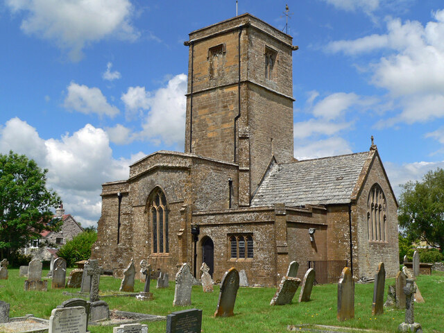
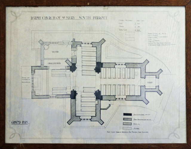
South Perrott
South Perrott is a village and civil parish in northwest Dorset, England, 2 miles (3.2 km) southeast of Crewkerne. In 2012 the estimated population of...

Weston Hill
Weston Hill is a hill, 250 metres (820 ft) high, on the A 356, 1 kilometre west of Corscombe in the county of Dorset in southern England. It is located...

Mosterton
Mosterton is a village and civil parish in Dorset, England, situated approximately 3 miles (4.8 km) north of Beaminster. In the 2011 census the parish...
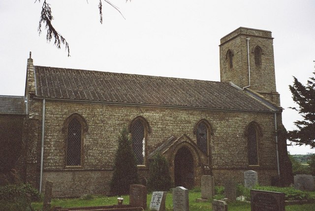
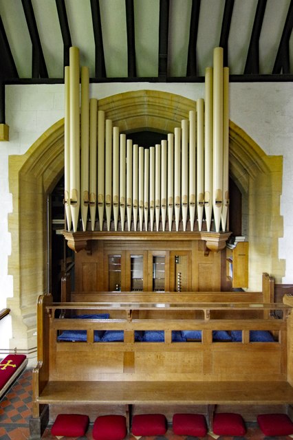
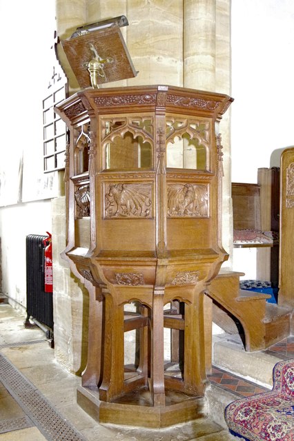
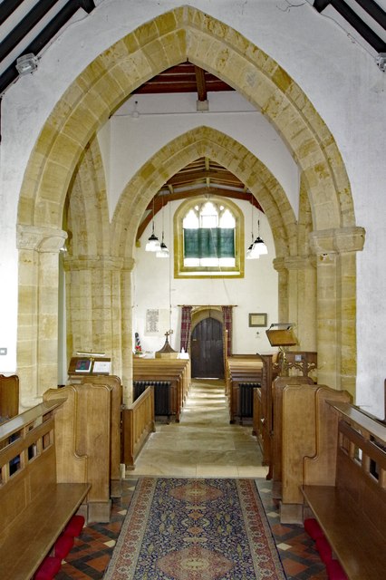
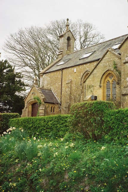
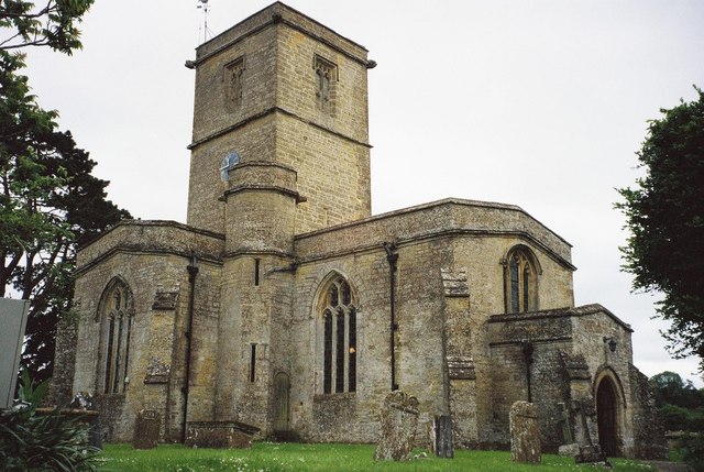
St Mary's Church, Mosterton
St Mary's Church is a Church of England parish church in Mosterton, Dorset, England. The church was designed by Edmund Pearce and built in 1832–33 to replace...

Beaminster Down
At 244 metres, Beaminster Down is one of the highest hills in West Dorset, England. == Location == Beaminster Down is common land on the Dorset Downs and...
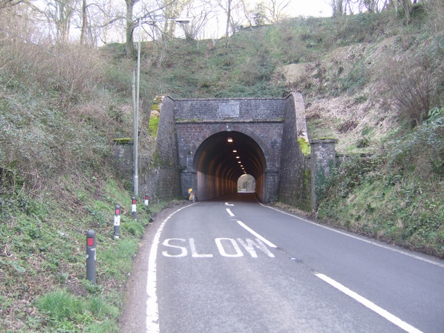
Beaminster Tunnel
Beaminster Tunnel or Horn Hill Tunnel is a 345-foot-long (105 m) road tunnel on the A3066 road between Beaminster and Mosterton in Dorset, England. The...

Misterton, Somerset
Misterton is a village and civil parish 1 mile (1.6 km) south-east of Crewkerne, Somerset, England. == History == The village was previously known as Minsterton...
Nearby Amenities
Located within 500m of 50.848538,-2.7391585Have you been to Furzy Wood Copse?
Leave your review of Furzy Wood Copse below (or comments, questions and feedback).