Scroggs Wood

Wood, Forest in Lancashire Wyre

England

Scroggs Wood

Bridge over M6 northbound
Bridge over M6 northbound Credit: Alpin Stewart

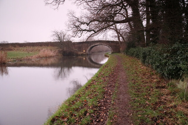
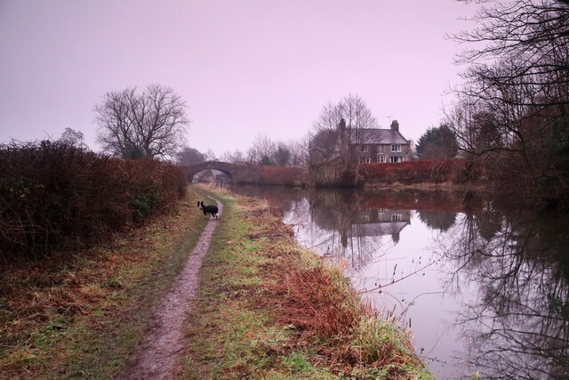
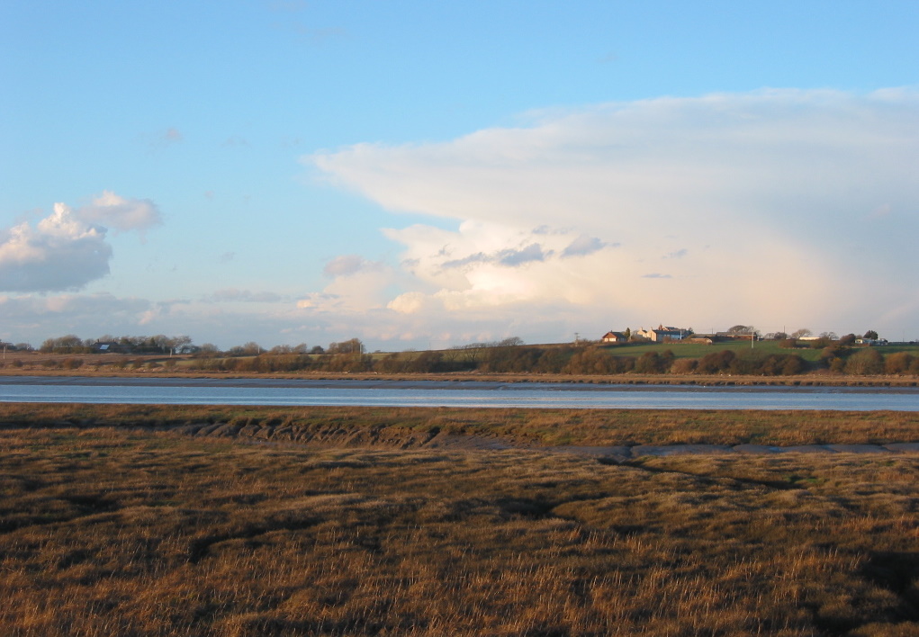
Scroggs Wood is a picturesque forest located in Lancashire, England. Spanning over a vast area of land, this woodland offers stunning natural beauty and a peaceful retreat for nature enthusiasts. The forest is situated in the heart of Lancashire, making it easily accessible for both locals and tourists.

Scroggs Wood is known for its diverse range of flora and fauna. The forest is home to a variety of tree species, including oak, beech, and birch, which provide a rich canopy and create a tranquil atmosphere. The forest floor is covered with a thick layer of moss and ferns, adding to its enchanting appeal.

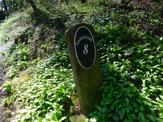
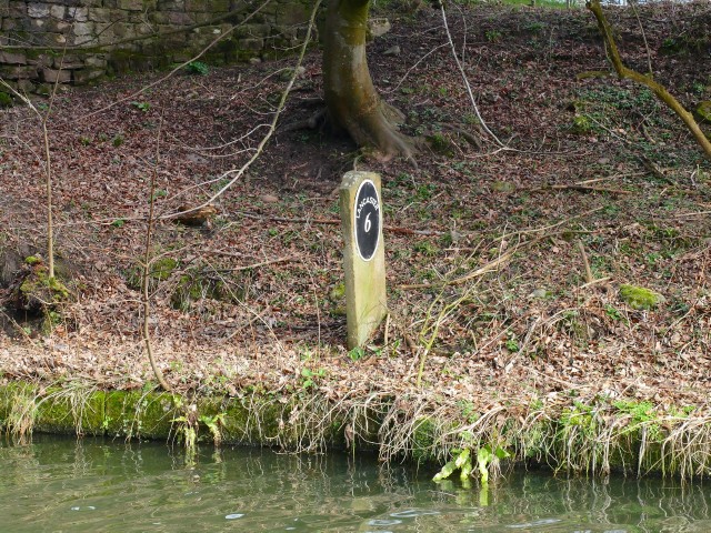
Visitors to Scroggs Wood can enjoy a range of outdoor activities. There are several well-maintained walking trails that meander through the forest, allowing visitors to explore its hidden gems. These trails are suitable for all fitness levels and offer breathtaking views of the surrounding landscape.

The woodland is also a haven for wildlife. Birdwatchers can spot a multitude of species, including woodpeckers, owls, and various songbirds, making it a popular destination for bird enthusiasts. Additionally, the forest is home to small mammals such as squirrels and rabbits, adding to the natural diversity of the area.

Scroggs Wood is a perfect destination for those seeking a peaceful and immersive experience in nature. Its idyllic setting, diverse wildlife, and well-maintained trails make it an ideal place for walking, photography, and simply enjoying the serenity of the great outdoors.

If you have any feedback on the listing, please let us know in the comments section below.
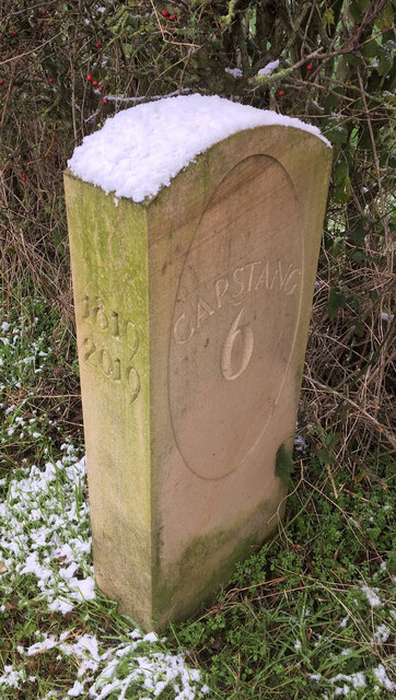
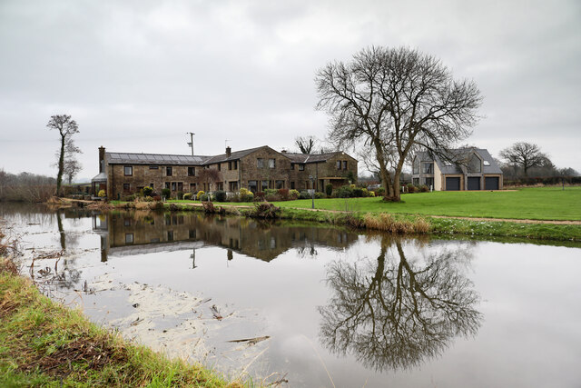
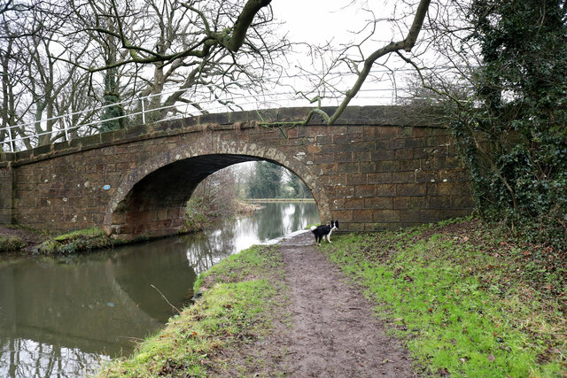
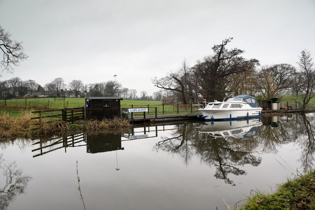
Scroggs Wood Images

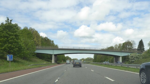
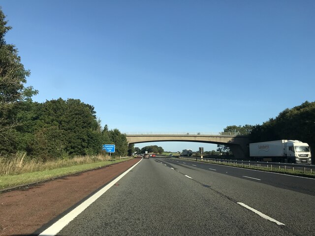
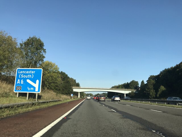
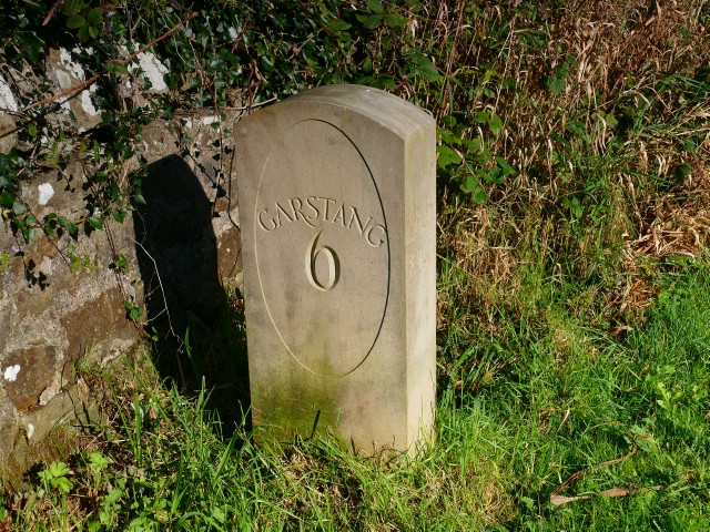
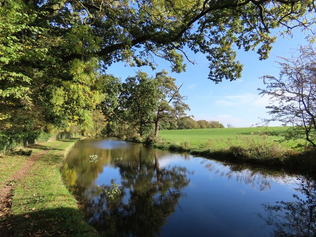
Images are sourced within 2km of 53.967356/-2.7932768 or Grid Reference SD4852. Thanks to Geograph Open Source API. All images are credited.

Bridge over M6 northbound
OS Bench Mark OS cut bench mark on gatestoop on Hampson Lane. 124.8 feet above old datum. Some gardening was necessary to reveal it.
OS Bench Mark
OS cut bench mark on gatestoop on Hampson Lane. 124.8 feet above old datum. Some gardening was necessary to reveal it.
Anyon Lane bridge - M6 northbound
Junction 33 signage - M6 northbound
Hampson Lane bridge - M6 northbound
Modern Milestone, Lancaster Canal SW of Cockerham Road Bridge, in the Parish of Forton.

Inscription reads: Lancaster / 7 // 1819 / 2019 // Garstang / 6

Milestone Society National ID: LAN-23
Modern Milestone, Lancaster Canal
SW of Cockerham Road Bridge, in the Parish of Forton. Inscription reads: Lancaster / 7 // 1819 / 2019 // Garstang / 6 Milestone Society National ID: LAN-23
Tansy Hall An excellent residence for viewing passing traffic on the Lancaster Canal, which, judging by the number of boats at private moorings along this stretch, could be quite a lot in the warmer seasons. There wasn't much moving on this rather dreich day just after winter solstice (I'd driven quite a long way to find a geograph walk for the dog and myself which gave hope of adequate visibility to take photographs of any geographical relevance).
Tansy Hall
An excellent residence for viewing passing traffic on the Lancaster Canal, which, judging by the number of boats at private moorings along this stretch, could be quite a lot in the warmer seasons. There wasn't much moving on this rather dreich day just after winter solstice (I'd driven quite a long way to find a geograph walk for the dog and myself which gave hope of adequate visibility to take photographs of any geographical relevance).
Smiths Bridge, Lancaster Canal The construction of the Lancaster Canal started soon after its enabling Act of Parliament in 1792, and was open to traffic from Preston to Tewitfield by 1797. Bridge 77, which is an occupation bridge (which nowadays carries a public footpath) would have been part of the original works. The Lancaster Observer had a long running column "Past and Present" by local historian "W.H." within which number 7 of a series of articles "Some Family Links", published on 18th November 1904 records that "William Smith bought the Goose Green property in Forton, and went to live there about 1768. He afterwards went to Hole of Ellel with his only son, Henry, and died there in 1807." It seems most likely that he would be the eponymous Smith and that the newly built canal would have split the farmland associated with Goose Green (250m SSW of the bridge) necessitating the construction of the bridge. Whoever owns the property now seems exceptionally keen to prevent communication between the public footpath over the bridge and the canal towpath, as both sides of the public right of way have fences topped with no less than four strands of barbed wire making it next to impossible for visiting geographers to nip over the bridge into SD4851. Curse you !
Smiths Bridge, Lancaster Canal
The construction of the Lancaster Canal started soon after its enabling Act of Parliament in 1792, and was open to traffic from Preston to Tewitfield by 1797. Bridge 77, which is an occupation bridge (which nowadays carries a public footpath) would have been part of the original works. The Lancaster Observer had a long running column "Past and Present" by local historian "W.H." within which number 7 of a series of articles "Some Family Links", published on 18th November 1904 records that "William Smith bought the Goose Green property in Forton, and went to live there about 1768. He afterwards went to Hole of Ellel with his only son, Henry, and died there in 1807." It seems most likely that he would be the eponymous Smith and that the newly built canal would have split the farmland associated with Goose Green (250m SSW of the bridge) necessitating the construction of the bridge. Whoever owns the property now seems exceptionally keen to prevent communication between the public footpath over the bridge and the canal towpath, as both sides of the public right of way have fences topped with no less than four strands of barbed wire making it next to impossible for visiting geographers to nip over the bridge into SD4851. Curse you !
Private Mooring for Lady Alison No doubt is being left about which boat belongs in this private mooring on the Lancaster Canal and said boat is present to emphasise the point. The gentle grassy slope behind rejoices in the name Clifton Hill, rising to a group of buildings, numbers 1 & 2 Clifton Hill, with adjacent (former) Roman Catholic Chapel, which are listed buildings (no. 1163502 dating from 1967-04-17). This was originally a single country house, dating from 1820, by Richard Gillow, later divided into two. The chapel was converted into living accommodation more recently.
Private Mooring for Lady Alison
No doubt is being left about which boat belongs in this private mooring on the Lancaster Canal and said boat is present to emphasise the point. The gentle grassy slope behind rejoices in the name Clifton Hill, rising to a group of buildings, numbers 1 & 2 Clifton Hill, with adjacent (former) Roman Catholic Chapel, which are listed buildings (no. 1163502 dating from 1967-04-17). This was originally a single country house, dating from 1820, by Richard Gillow, later divided into two. The chapel was converted into living accommodation more recently.
Cockerham Road bridge, no. 79 on Lancaster Canal Just enough time to photograph the canal bridge as the light fades (and goes noticeably pink, despite the low overcast). This one carries the Cockerham Road (and a surprising amount of traffic for such a narrow road) over the Lancaster Canal.
Cockerham Road bridge, no. 79 on Lancaster Canal
Just enough time to photograph the canal bridge as the light fades (and goes noticeably pink, despite the low overcast). This one carries the Cockerham Road (and a surprising amount of traffic for such a narrow road) over the Lancaster Canal.
Richmond bridge and Canal Cottage Definitely time to turn round and head back to the car as the daylight fades - under this heavy overcast it didn't feel like pretty sunset light, but the camera clearly shows that the world was turning pink, somewhat to my surprise. This is bridge number 80 (numbering runs from Preston northwards) on the Lancaster Canal. The dog, as always, is up for the walk to go on much longer - she has no sense of time pressing (and I'd not brought a head torch).
Richmond bridge and Canal Cottage
Definitely time to turn round and head back to the car as the daylight fades - under this heavy overcast it didn't feel like pretty sunset light, but the camera clearly shows that the world was turning pink, somewhat to my surprise. This is bridge number 80 (numbering runs from Preston northwards) on the Lancaster Canal. The dog, as always, is up for the walk to go on much longer - she has no sense of time pressing (and I'd not brought a head torch).
Old Milestone Marker 32-25 R (between bridges 86-85), Lancaster Canal Old Milestone located by the side of the Lancaster Canal
This milestone is 25 miles from the centre of Preston and 32 miles from Kendal

Inscription reads:- 
Garstang / 8 :: Lancaster / 5 (missing) 

Milestone Society National ID: LAN-25
Old Milestone Marker 32-25 R (between bridges 86-85), Lancaster Canal
Old Milestone located by the side of the Lancaster Canal This milestone is 25 miles from the centre of Preston and 32 miles from Kendal Inscription reads:- Garstang / 8 :: Lancaster / 5 (missing) Milestone Society National ID: LAN-25
Old Milestone Marker 33-24 F (between bridges 83-82), Lancaster Canal Old Milestone located by the side of the Lancaster Canal
This milestone is 24 miles from the centre of Preston and 33 miles from Kendal

Inscription reads:- 
Garstang / 7 :: Lancaster / 6 

Milestone Society National ID: LAN-24
Old Milestone Marker 33-24 F (between bridges 83-82), Lancaster Canal
Old Milestone located by the side of the Lancaster Canal This milestone is 24 miles from the centre of Preston and 33 miles from Kendal Inscription reads:- Garstang / 7 :: Lancaster / 6 Milestone Society National ID: LAN-24
Milestone Marker 34-23 F (between bridges 79-78), Lancaster Canal Milestone located by the side of the Lancaster Canal
This milestone is 23 miles from the centre of Preston and 34 miles from Kendal

Inscription reads:- 
Garstang / 6 :: Lancaster / 7 

Milestone Society National ID: LAN-23R
Milestone Marker 34-23 F (between bridges 79-78), Lancaster Canal
Milestone located by the side of the Lancaster Canal This milestone is 23 miles from the centre of Preston and 34 miles from Kendal Inscription reads:- Garstang / 6 :: Lancaster / 7 Milestone Society National ID: LAN-23R
OS Bench Mark Ordnance Survey cut bench mark from the 19th century levelling on NE side of NE parapet of Potters Brook bridge on A6. Only visible by leaning over the parapet and holding the camera upside-down! 77.8 ft above old datum.
OS Bench Mark
Ordnance Survey cut bench mark from the 19th century levelling on NE side of NE parapet of Potters Brook bridge on A6. Only visible by leaning over the parapet and holding the camera upside-down! 77.8 ft above old datum.
OS Bench Mark Ordnance Survey rivet bench mark from the 20th century levelling, on top of boundary stone by Potters Brook Bridge on A6. 23.842 m above datum. The stone has been painted since photo <a href="https://www.geograph.org.uk/photo/6051387">SD4852 : Old Boundary Marker  by the A6, Potters Brook, Ellel parish</a> was taken.
OS Bench Mark
Ordnance Survey rivet bench mark from the 20th century levelling, on top of boundary stone by Potters Brook Bridge on A6. 23.842 m above datum. The stone has been painted since photo SD4852 : Old Boundary Marker by the A6, Potters Brook, Ellel parish was taken.
OS Bench Mark Ordnance Survey flush bracket bench mark (G2797) on corner of house on A6. 23.204 m above datum.
OS Bench Mark
Ordnance Survey flush bracket bench mark (G2797) on corner of house on A6. 23.204 m above datum.
Lancaster Canal near Cockerham This section of the Lancaster Canal can be accessed by the Cockerham Road near Forton, Lancaster.
Lancaster Canal near Cockerham
This section of the Lancaster Canal can be accessed by the Cockerham Road near Forton, Lancaster.
Show me another place!

Scroggs Wood is located at Grid Ref: SD4852 (Lat: 53.967356, Lng: -2.7932768)

Administrative County: Lancashire

District: Wyre

Police Authority: Lancashire

What 3 Words

///touches.shower.clasping. Near Bay Horse, Lancashire

Related Wikis

Bay Horse railway station

Bay Horse railway station (also known as Bayhorse station) was a rural station in Lancashire, England. It was named after the nearby Bay Horse Inn, and...

Bay Horse

Bay Horse is a sparsely populated hamlet in the English county of Lancashire. It lies between Lancaster and Preston to the north and south respectively...

Cockerham

Cockerham is a small village and civil parish within the City of Lancaster district in Lancashire, England. It is 6 miles (9.7 km) south of Lancaster and...

Over Wyre

Over Wyre is the collective name given to a group of villages in Lancashire, England, situated on the Fylde, to the north and east of the River Wyre....

Cockerham Vicarage

Cockerham Vicarage is in Rectory Road, Cockerham, Lancashire, England. Originally a vicarage, it was later used as a nursing home. The vicarage is recorded...

Forton, Lancashire

Forton is a village and civil parish in the Wyre district of the English county of Lancashire near the Forest of Bowland. It is near the A6 road, between...

Cockerham Priory

Cockerham Priory was a priory served by Austin Canons in Cockerham, Lancashire, England. St Michael's Church was granted to Leicester Abbey c. 1153–54...

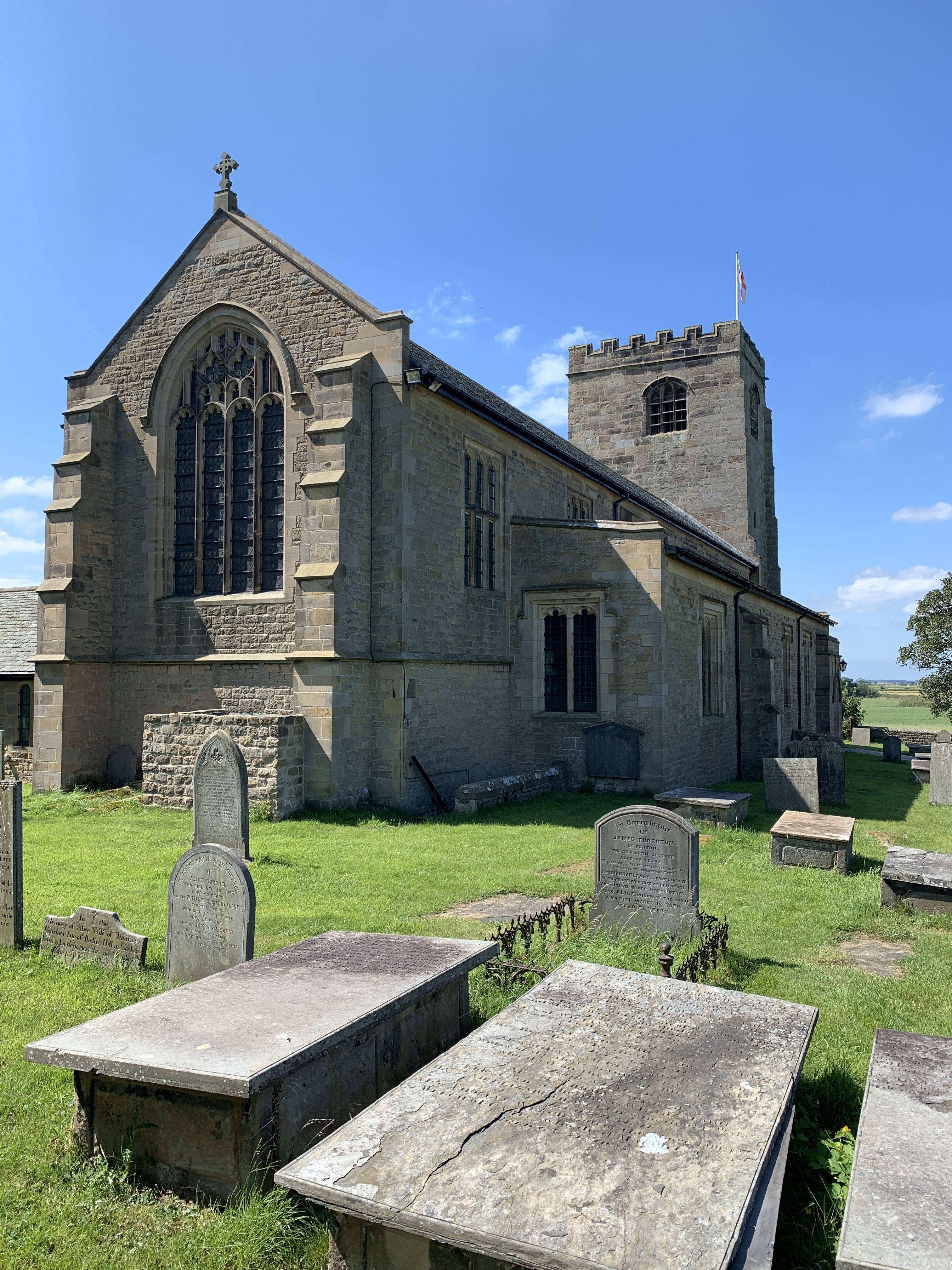
St Michael's Church, Cockerham

St Michael's Church is located to the southwest of the English village of Cockerham, Lancashire. It is an active Anglican parish church in the deanery...

Have you been to Scroggs Wood?

Leave your review of Scroggs Wood below (or comments, questions and feedback).