Catterlen
Settlement in Cumberland Eden
England
Catterlen
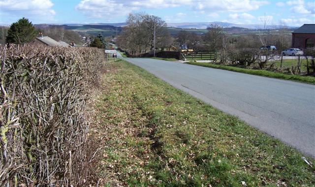
Catterlen is a small village located in the county of Cumberland, in the North West of England. Situated approximately 10 miles east of the city of Carlisle, it is nestled in the picturesque Eden Valley. The village is part of the civil parish of Skelton and Brough, and falls within the district of Eden.
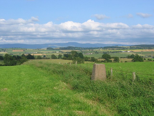
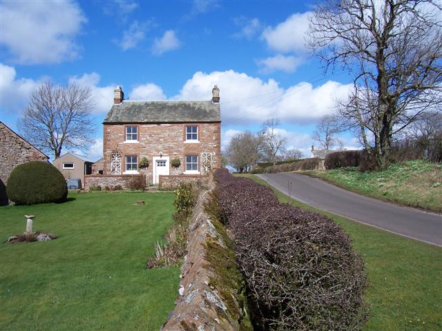
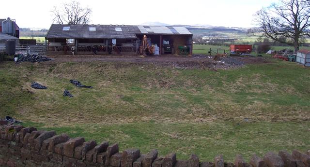
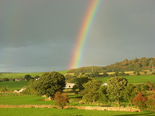
Catterlen is surrounded by rolling hills and lush green countryside, offering residents and visitors a serene and tranquil environment. The village is characterized by its charming stone-built houses and traditional architecture, which adds to its quaint and timeless appeal.
The village is home to a close-knit community, with a population of around 300 people. It benefits from a variety of local amenities, including a village hall, a primary school, and a parish church, which stands as a prominent landmark in the area.
Catterlen is centrally located within the Eden Valley, making it an ideal base for exploring the surrounding natural beauty. The village is just a short drive away from the Lake District National Park, which is renowned for its stunning landscapes, mountains, and lakes.
Overall, Catterlen is a peaceful and idyllic village, offering a rural lifestyle with easy access to nearby towns and natural attractions. It is a place where residents and visitors can enjoy the tranquility of the countryside while still being within reach of modern amenities and recreational opportunities.
If you have any feedback on the listing, please let us know in the comments section below.
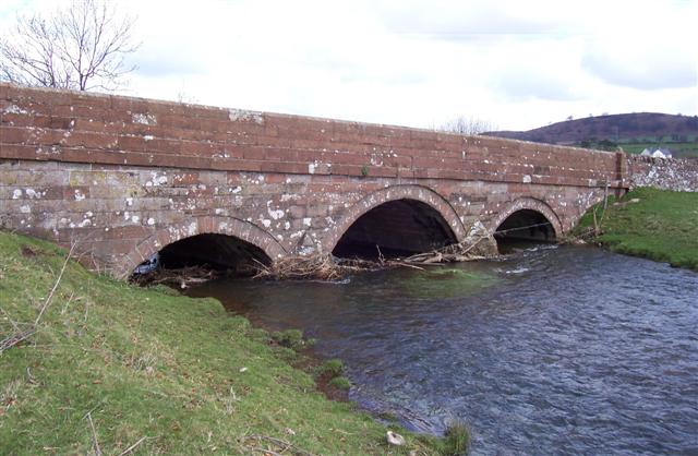
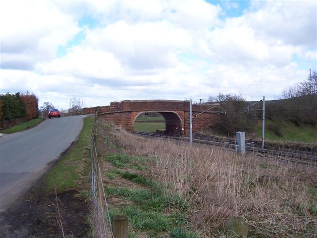
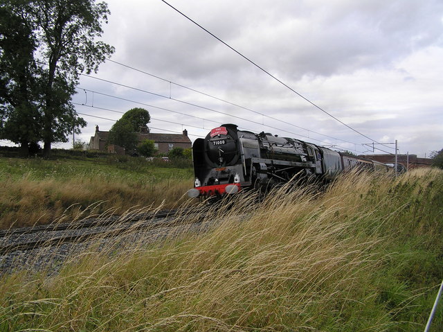
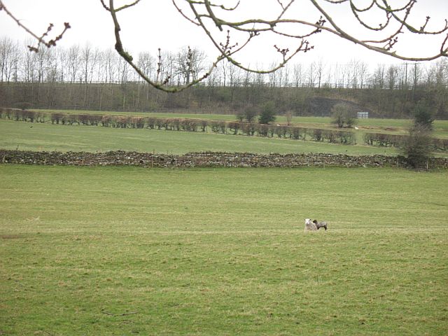
Catterlen Images
Images are sourced within 2km of 54.695357/-2.796014 or Grid Reference NY4833. Thanks to Geograph Open Source API. All images are credited.


Catterlen is located at Grid Ref: NY4833 (Lat: 54.695357, Lng: -2.796014)
Administrative County: Cumbria
District: Eden
Police Authority: Cumbria
What 3 Words
///nurse.sunblock.amended. Near Penrith, Cumbria
Nearby Locations
Related Wikis

Penrith Rural District
Penrith was a rural district within the administrative county of Cumberland, England that existed from 1894 to 1974 with slight boundary changes in 1934...

Catterlen
Catterlen is a small village and civil parish 3 miles (4.8 km) north west of Penrith, Cumbria. At the 2001 census the civil parish had a population of...

Newton Reigny
Newton Reigny is a village and former civil parish, now in the parish of Catterlen, in the Eden District, in the English county of Cumbria, near the town...

Laithes
Laithes is a hamlet in the civil parish of Skelton, in the English county of Cumbria. It belongs to Eden District. Laithes's region is North West. Height...
Newton Rigg College
Newton Rigg College was an agricultural college near Penrith, Cumbria, England, founded in 1896 as the Cumberland and Westmorland Farm School. From 2011...

Brockleymoor
Brockleymoor was a hamlet in Cumbria, England, but it is now part of the village of Plumpton. It is located several miles north of Penrith, not far from...
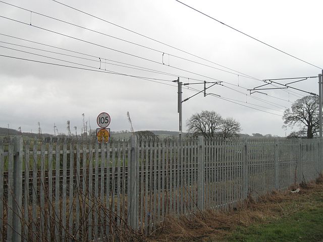
Plumpton railway station (Cumbria)
Plumpton railway station in Hesket parish in what is now Cumbria but was then Cumberland in the north west of England, was situated on the Lancaster and...

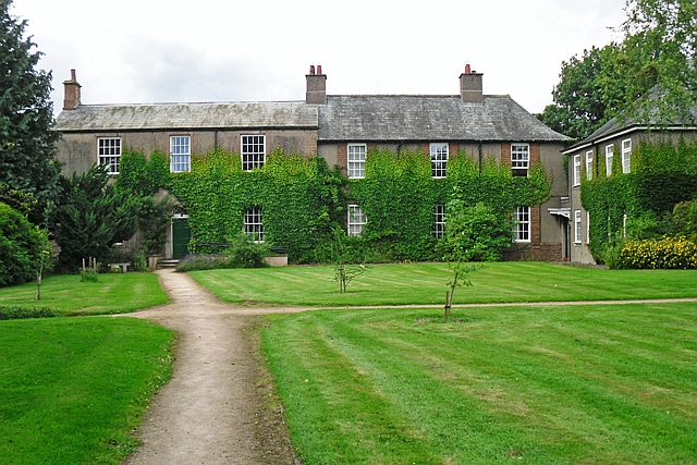
Hutton in the Forest
Hutton in the Forest is a Grade I listed country house near the village of Skelton in the historic county of Cumberland, which now forms part of the modern...
Nearby Amenities
Located within 500m of 54.695357,-2.796014Have you been to Catterlen?
Leave your review of Catterlen below (or comments, questions and feedback).