Barrett's Copse

Wood, Forest in Dorset

England

Barrett's Copse

View west along coast at Burton Freshwater
View west along coast at Burton Freshwater Credit: Colin Park

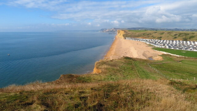
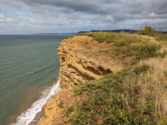
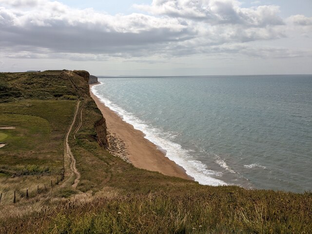
Barrett's Copse is a picturesque woodland located in the county of Dorset, England. Stretching over an area of approximately 50 acres, this ancient forest is known for its diverse range of flora and fauna. The copse is nestled within the rolling hills of Dorset, providing a tranquil and natural oasis for visitors to explore.

The woodland is predominantly made up of oak, beech, and birch trees, creating a vibrant canopy that filters sunlight and casts dappled shadows on the forest floor. The rich biodiversity of the area is evident in the variety of plant species that thrive here, including bluebells, wild garlic, and wood sorrel, which carpet the forest floor during springtime.

Barrett's Copse is also home to a plethora of wildlife, making it a popular spot for nature enthusiasts and birdwatchers. Visitors may be fortunate enough to spot native species such as deer, badgers, foxes, and a wide array of birdlife, including woodpeckers, owls, and various songbirds.

Several walking trails wind their way through the copse, allowing visitors to explore its beauty at their own pace. These trails offer stunning views of the surrounding countryside and provide an opportunity to immerse oneself in the peaceful ambiance of the woodland.

Barrett's Copse is a cherished natural gem in Dorset, attracting both locals and tourists alike. Its idyllic setting, diverse ecosystem, and well-maintained trails make it an ideal destination for those seeking solace in nature or a quiet escape from the bustle of everyday life.

If you have any feedback on the listing, please let us know in the comments section below.

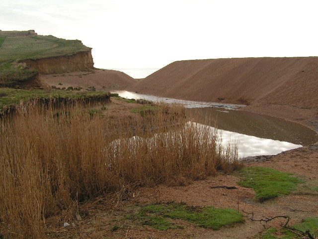
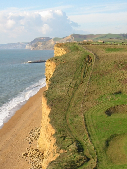
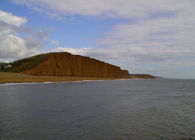
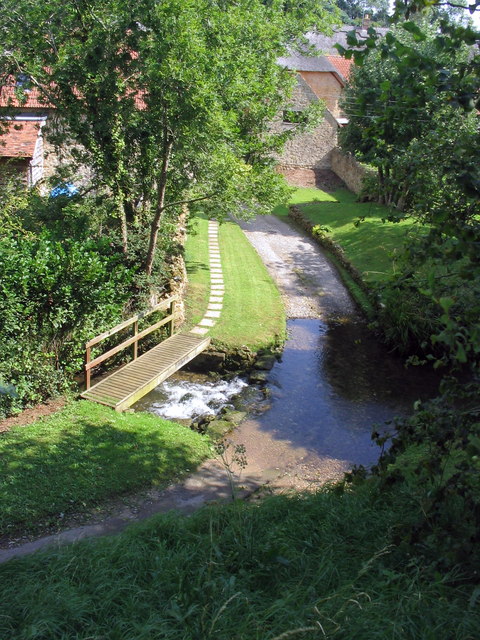
Barrett's Copse Images

Images are sourced within 2km of 50.718914/-2.7382501 or Grid Reference SY4791. Thanks to Geograph Open Source API. All images are credited.

View west along coast at Burton Freshwater
Shadrach, Burton Bradstock Burton Bradstock is a village in south west Dorset. Situated behind Chesil Beach and the River Bride, 3 miles east of Bridport. The village nestles around the church of St. Mary the Virgin with thatched cottages punctuating the unspoilt centre which has a primary school, shop, post office stores, beach café, two pubs, hotel, garage, village hall, reading room and library.
The village has a frequent local bus service to Bridport via West Bay.
Website: <span class="nowrap"><a title="http://www.burtonbradstock.org.uk/" rel="nofollow ugc noopener" href="http://www.burtonbradstock.org.uk/">Link</a><img style="margin-left:2px;" alt="External link" title="External link - shift click to open in new window" src="https://s1.geograph.org.uk/img/external.png" width="10" height="10"/></span>
Shadrach, Burton Bradstock
Burton Bradstock is a village in south west Dorset. Situated behind Chesil Beach and the River Bride, 3 miles east of Bridport. The village nestles around the church of St. Mary the Virgin with thatched cottages punctuating the unspoilt centre which has a primary school, shop, post office stores, beach café, two pubs, hotel, garage, village hall, reading room and library. The village has a frequent local bus service to Bridport via West Bay. Website: LinkExternal link
Burton Bradstock, Shadrach/Shadrack The OS map shows this road as "Shadrach", but the road name on the plate attached to the wall behind the blue car says "Shadrack".
Burton Bradstock, Shadrach/Shadrack
The OS map shows this road as "Shadrach", but the road name on the plate attached to the wall behind the blue car says "Shadrack".
St. Mary the Virgin, Burton Bradstock, Dorset North-Eastern aspect
St. Mary the Virgin, Burton Bradstock, Dorset
North-Eastern aspect
Cliff edge
Cliff edge
Beach towards Burton Freshwater
Field on the Hardy Way
The Anchor Inn
The Anchor Inn
St Mary's Church, Burton Bradstock
The Three Horseshoes, Burton Bradstock Looking north up High Street, the B3157.  The road to the right in front of the inn, Mill Road, leads to the church. Back in 1966 it was clearly quite narrow, but more recent photos show a much wider route, as well as several versions of the sign!
The Three Horseshoes, Burton Bradstock
Looking north up High Street, the B3157. The road to the right in front of the inn, Mill Road, leads to the church. Back in 1966 it was clearly quite narrow, but more recent photos show a much wider route, as well as several versions of the sign!
Burton Cliff The site of a recent dramatic cliff fall.
Burton Cliff
The site of a recent dramatic cliff fall.
Burton Bradstock village
Burton Beach & Cliffs
River Bride cutting through Beach Sediment The River Bride rises at Brideshead Lake, Littlebredy and flows for about 13km through open country side until it reaches the sea over a shingle beach at Burton Bradstock.
River Bride cutting through Beach Sediment
The River Bride rises at Brideshead Lake, Littlebredy and flows for about 13km through open country side until it reaches the sea over a shingle beach at Burton Bradstock.
Coast west of Burton Freshwater Some steps have since been built on the very eroded section of the coast path.
Coast west of Burton Freshwater
Some steps have since been built on the very eroded section of the coast path.
Burton Cliff, showing 2005 landslip
High Street Looking up High Street from the corner of The Three Horseshoes Inn.  The gateway is the original entrance to Manor Farm and on the far right of the picture, at the top of the hill, the road disappears into 'the gap' - a very narrow point in the road.
High Street
Looking up High Street from the corner of The Three Horseshoes Inn. The gateway is the original entrance to Manor Farm and on the far right of the picture, at the top of the hill, the road disappears into 'the gap' - a very narrow point in the road.
East cliff at West Bay Dorset Picture taken from the new pier
East cliff at West Bay Dorset
Picture taken from the new pier
Show me another place!

Barrett's Copse is located at Grid Ref: SY4791 (Lat: 50.718914, Lng: -2.7382501)

Unitary Authority: Dorset

Police Authority: Dorset

What 3 Words

///unlisted.socialite.ranked. Near Bridport, Dorset

Related Wikis

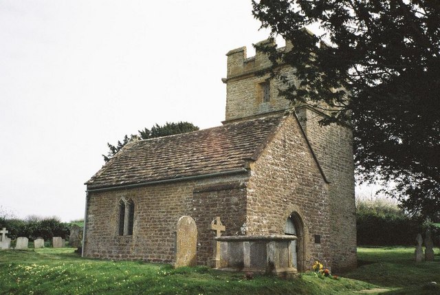
Holy Trinity Old Church, Bothenhampton

Holy Trinity Old Church in Bothenhampton, Dorset, England was built in the 13th or 14th century. It is recorded in the National Heritage List for England...

River Asker

The River Asker is a small river in Dorset, England. It rises on the chalk slopes of Eggardon Hill, approximately five miles (8 km) east of Bridport. It...

Bothenhampton

Bothenhampton is a village and civil parish in southwest Dorset, England, just outside the town of Bridport. It is separated from the town only by the...

Holy Trinity Church, Bothenhampton

Holy Trinity Church is a Church of England parish church at Bothenhampton, near Bridport in Dorset, England. It was designed and built by the English arts...

Godderthorne Hundred

Godderthorne Hundred was a hundred in the county of Dorset, England, containing the following parishes: Allington Shipton Gorge Walditch == See also... ==

Walditch

Walditch is a small village and former civil parish, now in the parish of Bothenhampton, in the Dorset district, in the ceremonial county of Dorset, England...

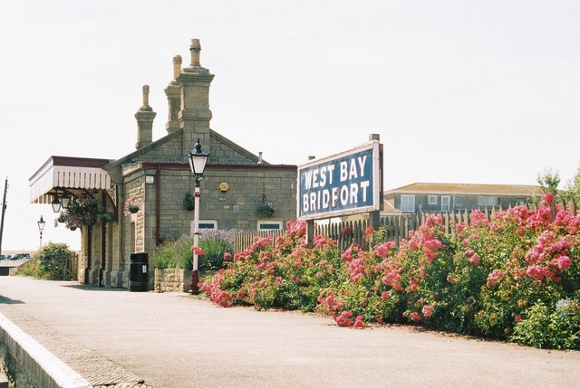
Bridport West Bay railway station

West Bay railway station was the terminus of the Bridport Railway in western Dorset, England. In 1879, the Great Western Railway, who held the operating...

Bridport East Street railway station

Bridport East Street was a railway station on the Bridport Railway in the west of the English county of Dorset. Opened on 11 March 1884, before the extension...

Nearby Amenities

Located within 500m of 50.718914,-2.7382501
Power: pole
Source: bing
Lat/Long: 50.7201941/-2.7342036
Power: pole
Source: bing
Transformer: distribution
Lat/Long: 50.7218328/-2.7384093
Power: pole
Source: bing
Lat/Long: 50.721635/-2.7376355
Power: pole
Source: bing
Lat/Long: 50.7214372/-2.7365251
Power: pole
Source: bing
Lat/Long: 50.7213106/-2.7354173
Power: pole
Source: bing
Lat/Long: 50.7211655/-2.7341607
Power: pole
Source: bing
Transformer: distribution
Lat/Long: 50.721078/-2.7333628
Power: pole
Source: bing
Lat/Long: 50.7185113/-2.7340963
Power: pole
Source: bing
Lat/Long: 50.7176443/-2.7336994
Power: pole
Source: bing
Transformer: distribution
Lat/Long: 50.7168054/-2.7346368
Power: pole
Source: bing
Lat/Long: 50.7169455/-2.7333628
Power: pole
Source: bing
Lat/Long: 50.7170763/-2.7321397
The data included in this document is from www.openstreetmap.org. The data is made available under ODbL.

Have you been to Barrett's Copse?

Leave your review of Barrett's Copse below (or comments, questions and feedback).