Newbiggin Moss

Wood, Forest in Cumberland Eden

England

Newbiggin Moss

High Dykes View eastward across the Vale of Eden to Cross Fell.
High Dykes Credit: Richard Webb

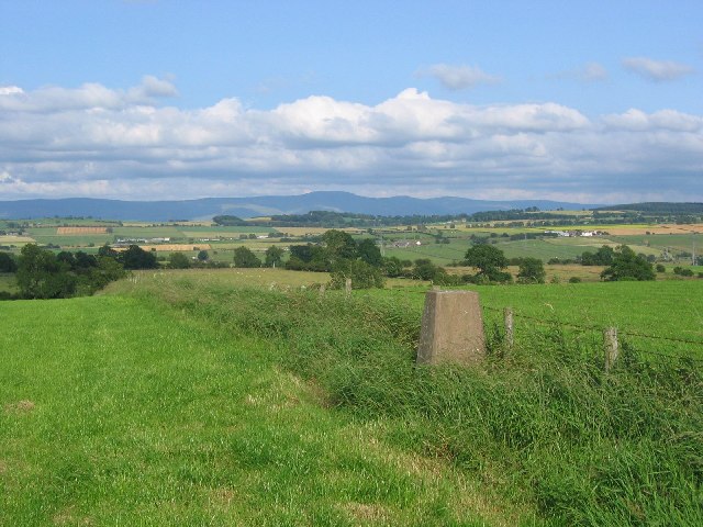
Newbiggin Moss, located in Cumberland, is a picturesque woodland area renowned for its natural beauty and diverse ecosystem. Situated in the northwest of England, this enchanting forest covers a vast expanse of approximately 200 acres. The moss is primarily composed of dense woodlands, with towering trees that include oak, ash, and beech, among others.

The forest floor is adorned with a rich carpet of moss, ferns, and wildflowers, creating a vibrant and enchanting atmosphere. The diverse flora provides a haven for a wide range of wildlife, including deer, rabbits, squirrels, and numerous bird species. The tranquil ambiance is often punctuated by the melodic songs of birds that inhabit the moss.

Visitors to Newbiggin Moss can explore the well-maintained trails that wind their way through the forest. These paths offer a chance to immerse oneself in the serene surroundings while admiring the natural wonders of the moss. The forest also features a small pond, which adds to the charm and provides a habitat for various aquatic plants and creatures.

Conservation efforts have been put in place to protect the delicate ecosystem of Newbiggin Moss. The forest is carefully managed to maintain a balance between preserving its natural state and allowing visitors to enjoy its beauty. It is a popular destination for nature lovers, hikers, and those seeking tranquility away from the bustling city life.

Overall, Newbiggin Moss is a hidden gem in Cumberland, offering a sanctuary of natural beauty and tranquility. Its lush woodlands, diverse wildlife, and well-maintained trails make it a must-visit destination for anyone seeking a peaceful retreat in the heart of nature.

If you have any feedback on the listing, please let us know in the comments section below.

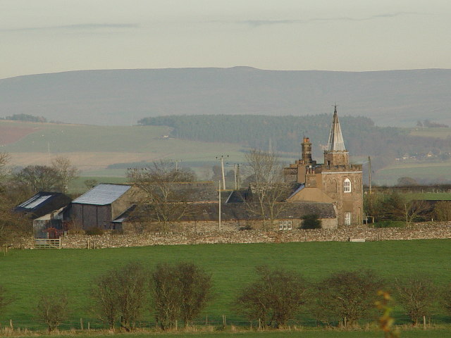
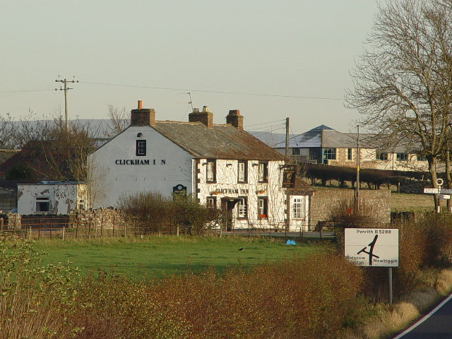
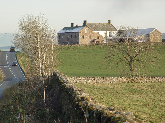
Newbiggin Moss Images

Images are sourced within 2km of 54.669285/-2.8109169 or Grid Reference NY4730. Thanks to Geograph Open Source API. All images are credited.

High Dykes View eastward across the Vale of Eden to Cross Fell.
High Dykes
View eastward across the Vale of Eden to Cross Fell.
Spire House, near Greystoke
Clickham Inn, Clickem near Penrith
Pallethill On the B5288 between Greystoke and Penrith
Pallethill
On the B5288 between Greystoke and Penrith
Tymparon Hall The rear of the hall, the front needs a sunrise preferably summer, is currently doing a thriving business as a bed and breakfast establishment.
Tymparon Hall
The rear of the hall, the front needs a sunrise preferably summer, is currently doing a thriving business as a bed and breakfast establishment.
Newton Rigg Farm College. A new building that looks fairly adventurous for students but perhaps it got an award for the architect.
Newton Rigg Farm College.
A new building that looks fairly adventurous for students but perhaps it got an award for the architect.
Wreay Farm. Going to breed people in the buildings by the number of units there are. Still it is a farm.
Wreay Farm.
Going to breed people in the buildings by the number of units there are. Still it is a farm.
Tractor Park at Newton Rigg. Even students have time to play with the sports facility in the background.
Tractor Park at Newton Rigg.
Even students have time to play with the sports facility in the background.
Localised flooding. The water has not put the students off at all. They are walking a dog through the water.
Localised flooding.
The water has not put the students off at all. They are walking a dog through the water.
Newton Reigny.
Newton Reigny.
Footbridge to Penrith from Catterlen. Soggy all around here due to the recent heavy rain.
Footbridge to Penrith from Catterlen.
Soggy all around here due to the recent heavy rain.
Ruin near the river. Possibly an old mill, on the route of the bridleway.
Ruin near the river.
Possibly an old mill, on the route of the bridleway.
The Parish Church of St John, Newton Reigny
The Clickham Inn, Clickem
Bunkers Hill At first glance especially from a distance this looks like a castle, it is in fact a farm.
Bunkers Hill
At first glance especially from a distance this looks like a castle, it is in fact a farm.
Pallet Hill Farm Viewed from West to East, Pallet hill farm is situated on the B5288 between Greystoke and Penrith.  As can be seen it is on a slight bend with a blind summit.
Pallet Hill Farm
Viewed from West to East, Pallet hill farm is situated on the B5288 between Greystoke and Penrith. As can be seen it is on a slight bend with a blind summit.
Clickham Inn Crossroads Viewed from Newbiggin, the B5288 Greystoke left and Penrith Right.  Blencow is across and left.
Clickham Inn Crossroads
Viewed from Newbiggin, the B5288 Greystoke left and Penrith Right. Blencow is across and left.
Tymparon Hall Farm Tymparon Hall is situated behind the farm buildings as viewed from Clickham road ends.  These strange sheep are Alpacas I think.
Tymparon Hall Farm
Tymparon Hall is situated behind the farm buildings as viewed from Clickham road ends. These strange sheep are Alpacas I think.
Show me another place!

Newbiggin Moss is located at Grid Ref: NY4730 (Lat: 54.669285, Lng: -2.8109169)

Administrative County: Cumbria

District: Eden

Police Authority: Cumbria

What 3 Words

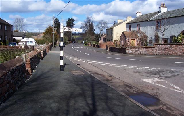
///situation.ivory.carry. Near Penrith, Cumbria

Related Wikis

Newton Reigny

Newton Reigny is a village and former civil parish, now in the parish of Catterlen, in the Eden District, in the English county of Cumbria, near the town...

Penrith Rural District

Penrith was a rural district within the administrative county of Cumberland, England that existed from 1894 to 1974 with slight boundary changes in 1934...

Newton Rigg College

Newton Rigg College was an agricultural college near Penrith, Cumbria, England, founded in 1896 as the Cumberland and Westmorland Farm School. From 2011...

Blencow railway station

Blencow railway station was situated on the Cockermouth, Keswick and Penrith Railway between Penrith and Cockermouth in Cumberland (now in Cumbria), England...

Catterlen

Catterlen is a small village and civil parish 3 miles (4.8 km) north west of Penrith, Cumbria. At the 2001 census the civil parish had a population of...

Newbiggin, Dacre

Newbiggin is a small village in Cumbria, North West England. It is in the Dacre civil parish about 3 mi (4.8 km) west of Penrith. It lies at 750 ft (230...

Penrith Hoard

The Penrith Hoard is a dispersed hoard of 10th century silver penannular brooches found at Flusco Pike, Newbiggin Moor, near Penrith in Cumbria, and now...

Laithes

Laithes is a hamlet in the civil parish of Skelton, in the English county of Cumbria. It belongs to Eden District. Laithes's region is North West. Height...

Nearby Amenities

Located within 500m of 54.669285,-2.8109169
Bus Stop
Pallet Hill Farm
Naptan AtcoCode: 090074212709
Naptan Bearing: W
Naptan BusStopType: CUS
Naptan CommonName: Pallet Hill Farm
Naptan Indicator: o/s
Naptan Landmark: Pallet Hill Farm
Naptan NaptanCode: cumdagpt
Naptan Street: B5288
Naptan Verified: no
Source: naptan_import
Lat/Long: 54.667719/-2.8170655
Bus Stop
Rose Hill
Naptan AtcoCode: 090074213436
Naptan Bearing: E
Naptan BusStopType: CUS
Naptan CommonName: Rose Hill
Naptan Indicator: o/s
Naptan Landmark: Rose Hill
Naptan NaptanCode: cumdagtj
Naptan Street: B5288
Naptan Verified: no
Source: naptan_import
Lat/Long: 54.6667048/-2.8115254
Lonnin End
Naptan AtcoCode: 090074213437
Naptan Bearing: W
Naptan BusStopType: CUS
Naptan CommonName: Lonnin End
Naptan Indicator: o/s
Naptan Landmark: Lonnin End
Naptan NaptanCode: cumdagtm
Naptan Street: B5288
Naptan Verified: no
Source: naptan_import
Lat/Long: 54.6665248/-2.8115528
Pallet Hill
Place: locality
Lat/Long: 54.6664746/-2.8063685
Pallet Hill
Place: locality
Lat/Long: 54.6686393/-2.8169491
Power: pole
Lat/Long: 54.6710314/-2.8041878
Power: pole
Lat/Long: 54.6713696/-2.8055289
Power: pole
Lat/Long: 54.6716798/-2.8068754
Power: pole
Lat/Long: 54.6721466/-2.8088361
Power: pole
Lat/Long: 54.6724661/-2.8101933
Power: pole
Lat/Long: 54.672781/-2.8114808
Power: pole
Lat/Long: 54.6729268/-2.8129265
Power: pole
Lat/Long: 54.6730524/-2.814112
Power: pole
Lat/Long: 54.6675291/-2.8172667
Power: pole
Lat/Long: 54.6678383/-2.8167305
Power: pole
Lat/Long: 54.6685549/-2.8161645
Power: pole
Lat/Long: 54.6664773/-2.8066128
Power: pole
Lat/Long: 54.6668184/-2.8075571
Power: pole
Lat/Long: 54.6672836/-2.8088916
Power: pole
Lat/Long: 54.6675532/-2.810466
Power: pole
Lat/Long: 54.6678271/-2.8120031
Power: pole
Lat/Long: 54.6681045/-2.8135789
Power: pole
Lat/Long: 54.6683301/-2.8148583
Power: pole
Lat/Long: 54.6687953/-2.8174872
The data included in this document is from www.openstreetmap.org. The data is made available under ODbL.

Have you been to Newbiggin Moss?

Leave your review of Newbiggin Moss below (or comments, questions and feedback).