Alma Wood
Wood, Forest in Lancashire Chorley
England
Alma Wood
Alma Wood, located in the county of Lancashire, is a picturesque forest that attracts nature lovers and outdoor enthusiasts from far and wide. Spread over a vast area, Alma Wood offers a tranquil escape from the hustle and bustle of urban life.
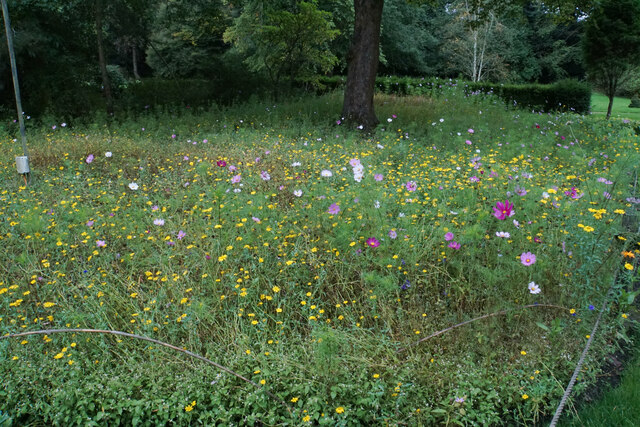
The woodland is known for its diverse range of tree species, including oak, ash, beech, and birch, which create a stunning canopy overhead. The forest floor is covered with a rich carpet of moss, ferns, and wildflowers, making it a paradise for botany enthusiasts and photographers.
The forest is crisscrossed by well-maintained walking trails, providing visitors with the opportunity to explore its natural beauty at their own pace. These trails vary in difficulty, catering to both casual strollers and avid hikers. Along the way, visitors may come across small streams, babbling brooks, and even a tranquil pond, where they can stop and immerse themselves in the peaceful surroundings.
Alma Wood is also home to a diverse range of wildlife, including deer, rabbits, squirrels, and a variety of bird species. Birdwatchers can spot everything from robins and blue tits to more elusive species like woodpeckers and owls.
For those seeking a more immersive experience, there are camping facilities available within the forest, allowing visitors to spend the night under the stars. Additionally, there is a visitor center on-site where individuals can obtain maps, information, and guidance on making the most of their visit.
Overall, Alma Wood in Lancashire provides a haven of natural beauty, offering a unique opportunity to connect with nature and enjoy the tranquility of a forest environment.
If you have any feedback on the listing, please let us know in the comments section below.
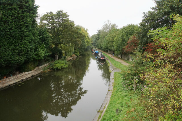
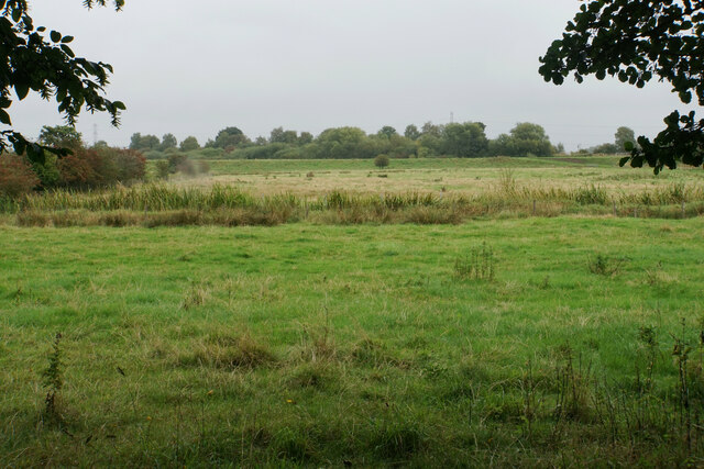
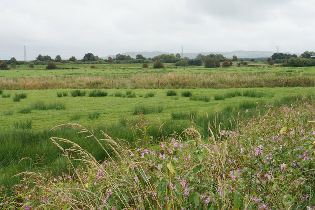
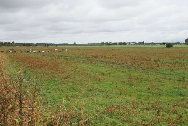
Alma Wood Images
Images are sourced within 2km of 53.645072/-2.7911015 or Grid Reference SD4716. Thanks to Geograph Open Source API. All images are credited.


Alma Wood is located at Grid Ref: SD4716 (Lat: 53.645072, Lng: -2.7911015)
Administrative County: Lancashire
District: Chorley
Police Authority: Lancashire
What 3 Words
///reclined.windmill.hobbies. Near Rufford, Lancashire
Nearby Locations
Related Wikis

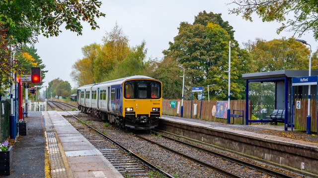
Rufford railway station
Rufford railway station, opened on 2 April 1849, serves the village of Rufford in Lancashire, England. The station is (9½ miles) south west of Preston...

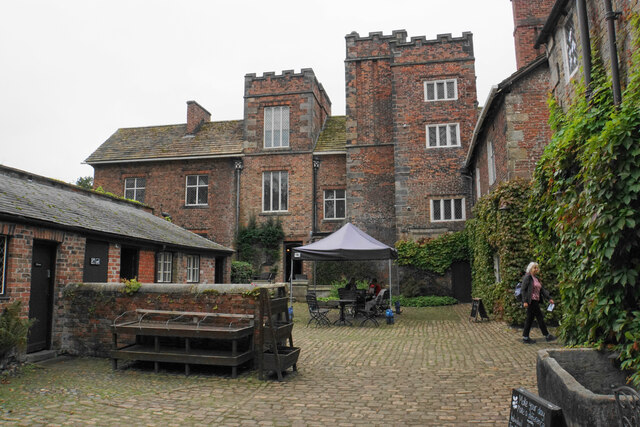
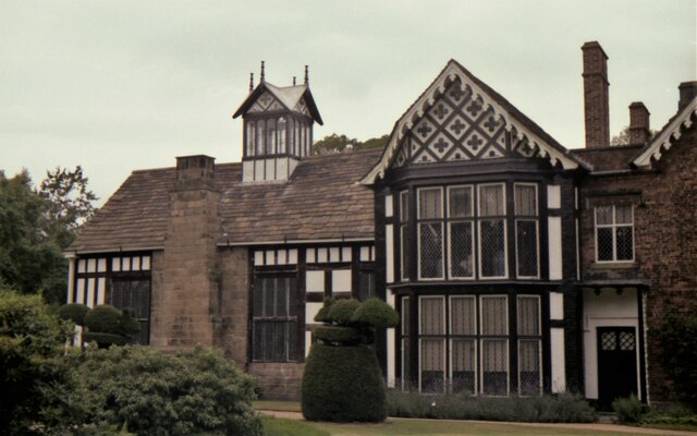
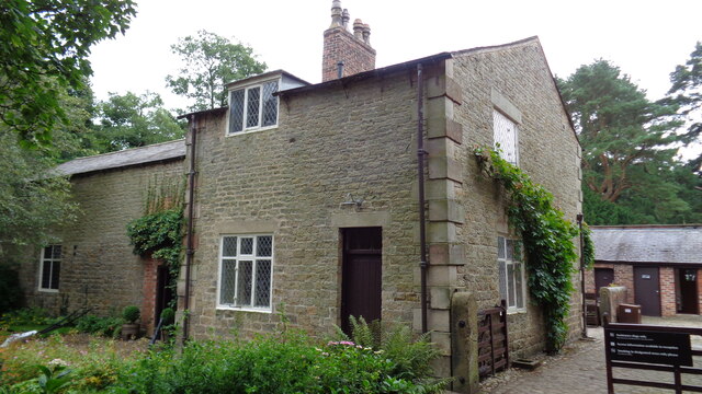
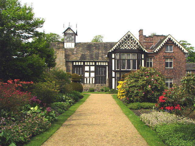
Rufford Old Hall
Rufford Old Hall is a National Trust property in Rufford, Lancashire, England. Built in about 1530 for Sir Robert Hesketh, only the Great Hall survives...

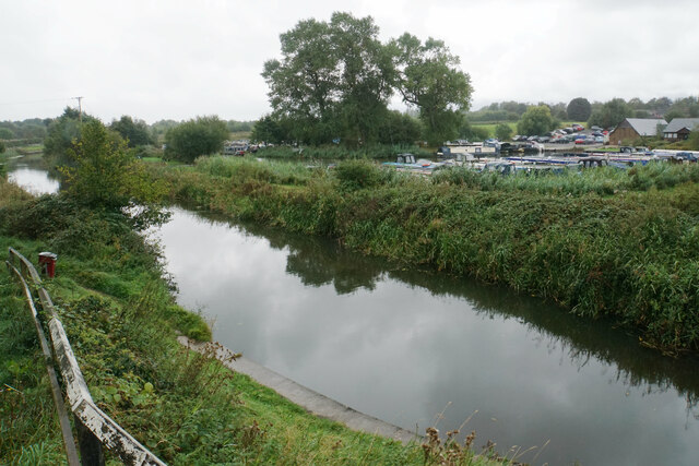
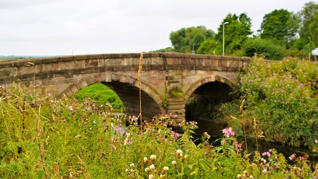
River Lostock
The River Lostock is a river in Lancashire, England. The source of the Lostock is at the confluence of Slack Brook and Whave's Brook at the entrance to...
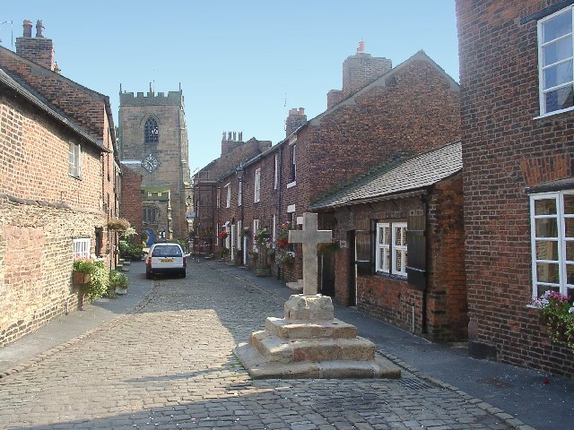
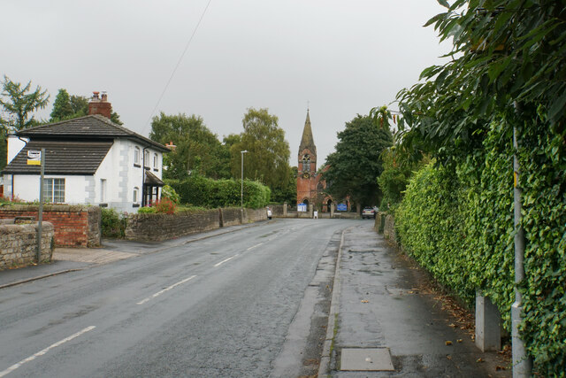
Croston
Croston is a village and civil parish near Chorley in Lancashire, England. The River Yarrow flows through the village. The population of the civil parish...
Nearby Amenities
Located within 500m of 53.645072,-2.7911015Have you been to Alma Wood?
Leave your review of Alma Wood below (or comments, questions and feedback).