Coleford Water
Settlement in Somerset Somerset West and Taunton
England
Coleford Water

Coleford Water is a small village located in the county of Somerset, England. Situated approximately 13 miles southwest of Bath and 10 miles northwest of Frome, the village is nestled in the Mendip Hills Area of Outstanding Natural Beauty.
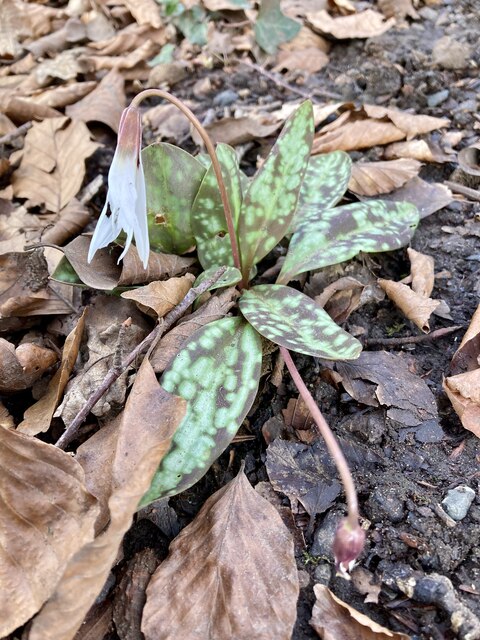
The village gets its name from the stream that runs through it, known as the Coleford Water. This picturesque waterway adds charm to the village, attracting visitors who come to enjoy its tranquility and natural beauty. The stream is home to a variety of wildlife, including ducks, herons, and kingfishers.
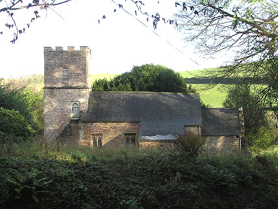
Coleford Water boasts a rich history, with evidence of human settlements dating back to Roman times. The village is renowned for its traditional stone-built houses and cottages, giving it a charming and timeless feel. There is also a historic church, St. John the Baptist, which dates back to the 12th century and is an architectural gem.
The village offers a range of amenities for its residents, including a village hall, a primary school, a post office, and a local pub. The community is vibrant and welcoming, with various social and recreational activities organized throughout the year.
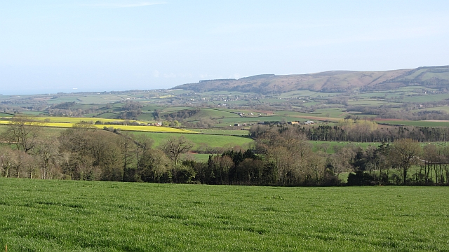
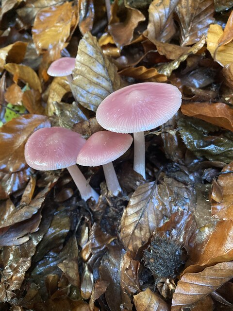
For outdoor enthusiasts, Coleford Water provides ample opportunities for exploring the surrounding countryside. The village is surrounded by rolling hills, picturesque valleys, and lush woodlands, making it an ideal destination for hiking, cycling, and nature walks. The nearby Mendip Hills offer stunning views and are a haven for wildlife and rare plant species.
In conclusion, Coleford Water is a charming village in Somerset, blessed with natural beauty and a rich history. Whether visiting for its scenic landscapes, historical sites, or community spirit, this village offers a peaceful and idyllic retreat for residents and visitors alike.
If you have any feedback on the listing, please let us know in the comments section below.
Coleford Water Images
Images are sourced within 2km of 51.097945/-3.2653 or Grid Reference ST1133. Thanks to Geograph Open Source API. All images are credited.


Coleford Water is located at Grid Ref: ST1133 (Lat: 51.097945, Lng: -3.2653)
Administrative County: Somerset
District: Somerset West and Taunton
Police Authority: Avon and Somerset
What 3 Words
///earpiece.coherent.headline. Near Bishops Lydeard, Somerset
Nearby Locations
Related Wikis

Tolland, Somerset
Tolland is a village and civil parish in Somerset, England, situated 9 miles (14.5 km) north west of Taunton, between the Brendon Hills and Quantock Hills...

Lydeard St Lawrence
Lydeard St Lawrence or St Lawrence Lydiard is a village and civil parish in Somerset, England, situated 7 miles (11.3 km) north west of Taunton. The village...

Gaulden Manor
Gaulden Manor (also Gavelden or Gaveldene) is a Grade II* listed country house to the southeast of Tolland, Somerset, England. It is a double storied building...

Roebuck Meadows
Roebuck Meadows (grid reference ST132354) is a 3.6 hectare (8.9 acre) biological Site of Special Scientific Interest south of Crowcombe in Somerset, notified...

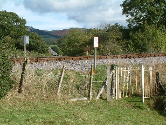
Crowcombe Heathfield railway station
Crowcombe Heathfield railway station is a station on the West Somerset Railway, a heritage railway in Somerset, England. It is situated 2 miles (3.2 km...
Ruby Country
Ruby Country is the name given to the rural inland hinterland of north-west Devon, UK. It covers 45 parishes around the market towns of Holsworthy and...
Elworthy
Elworthy is a small village and civil parish in the Brendon Hills 5 miles (8 km) south-east of Watchet, and 12 miles (19 km) west of Taunton, in the Somerset...

Stogumber railway station
Stogumber railway station is a station in Kingswood, Somerset, England which serves the nearby village of Stogumber. It was opened by the West Somerset...
Nearby Amenities
Located within 500m of 51.097945,-3.2653Have you been to Coleford Water?
Leave your review of Coleford Water below (or comments, questions and feedback).