Colegate End

Settlement in Norfolk South Norfolk

England

Colegate End

Bush Green: Caught in a hail blizzard
Bush Green: Caught in a hail blizzard Credit: Michael Garlick

Colgate End is a small village located in the county of Norfolk, in the eastern part of England. Situated in the North Norfolk district, the village is surrounded by picturesque countryside, offering a tranquil and idyllic setting.

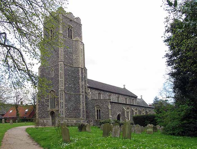
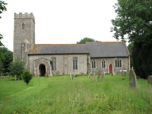
The village is known for its charming and traditional English architecture, with many of its buildings dating back to the 17th and 18th centuries. The local church, St. Mary's, is a prominent landmark in Colgate End, showcasing beautiful stained glass windows and a striking tower.

Colgate End is a close-knit community, with a population of around 500 residents. The village offers a range of amenities to cater to the needs of its inhabitants, including a small convenience store, a primary school, and a village hall that hosts various community events throughout the year.

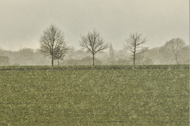
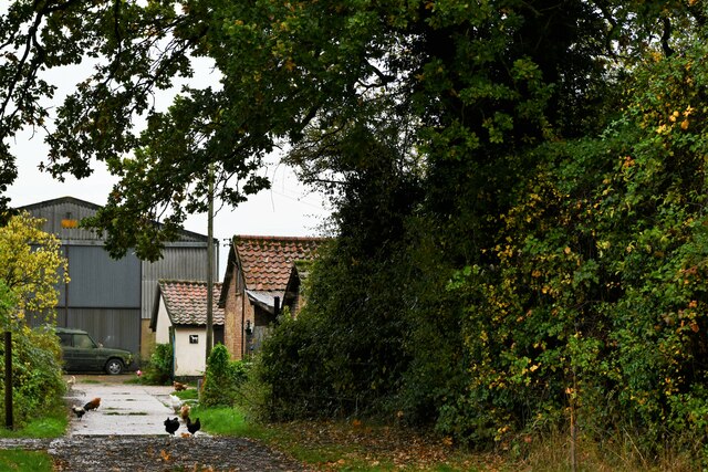
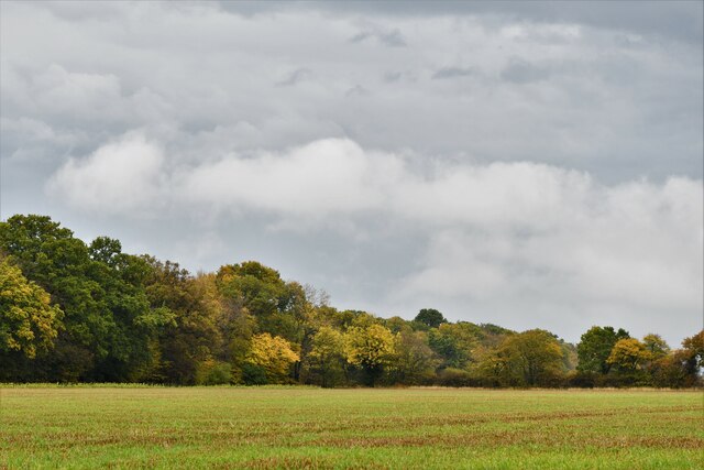
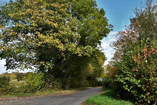
The surrounding countryside provides ample opportunities for outdoor activities, such as hiking, cycling, and birdwatching. The nearby Norfolk Coast Area of Outstanding Natural Beauty is a popular destination for visitors, offering stunning coastal landscapes and a haven for wildlife.

For those seeking cultural experiences, Colgate End is within close proximity to several historical sites and attractions. The town of Fakenham, with its bustling market and historic buildings, is just a short drive away, while the city of Norwich, renowned for its medieval architecture and vibrant arts scene, is easily accessible by car or public transport.

Overall, Colgate End offers a peaceful and scenic retreat, where residents and visitors alike can enjoy the beauty of the Norfolk countryside while still having access to essential amenities and nearby attractions.

If you have any feedback on the listing, please let us know in the comments section below.
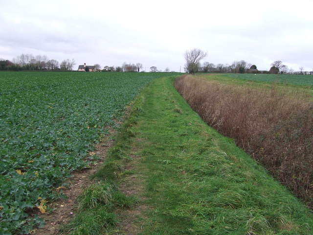
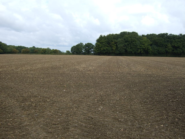
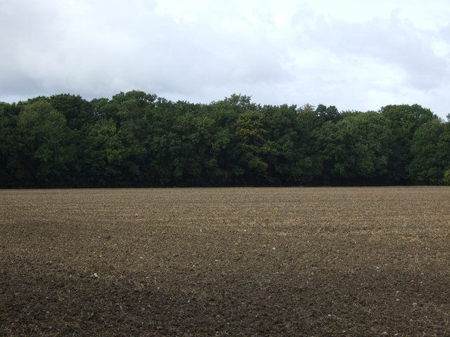
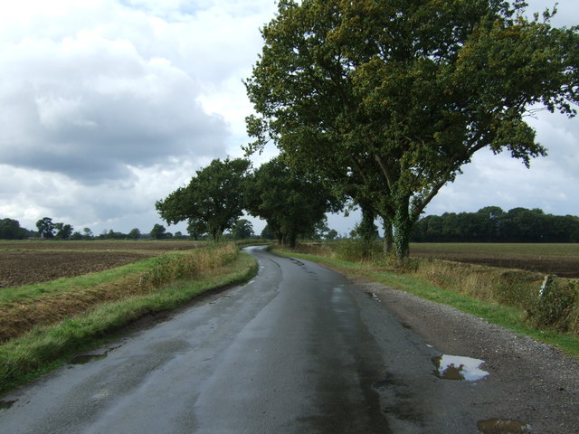
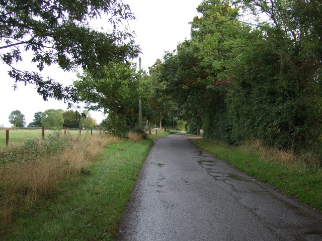
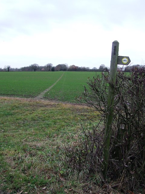
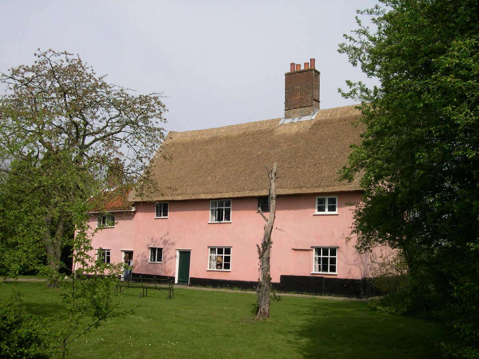
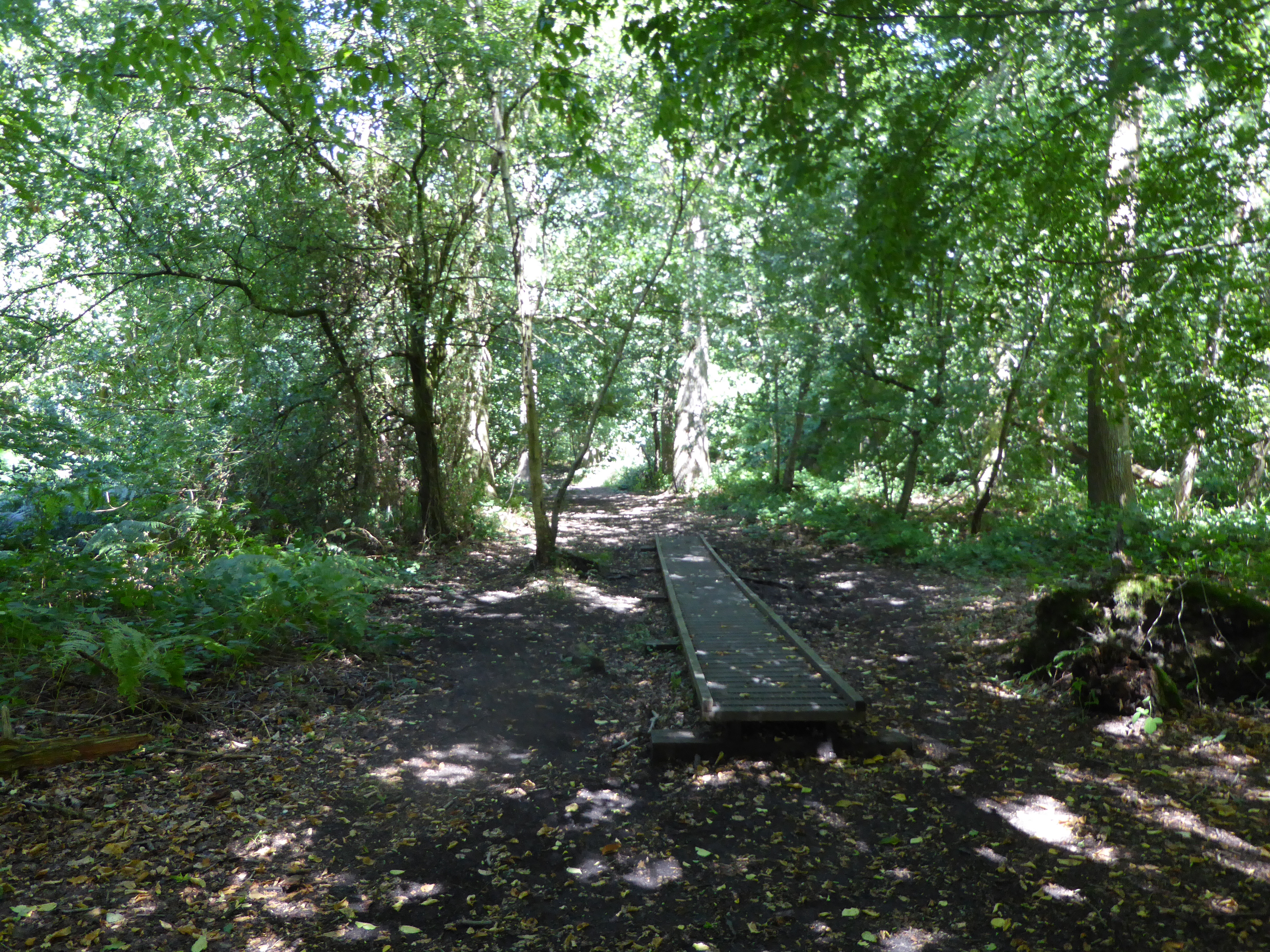
Colegate End Images

Images are sourced within 2km of 52.446746/1.2271 or Grid Reference TM1988. Thanks to Geograph Open Source API. All images are credited.

Bush Green: Caught in a hail blizzard
Pulham Market: Moat Farm
Pulham Market: Big Wood
Pulham Market: Ansons Lane
Looking West Footpath looking west near to Bush Green, Norfolk.
Looking West
Footpath looking west near to Bush Green, Norfolk.
Footpath And Sign Footpath and footpath sign near to Bush Green, Norfolk.
Footpath And Sign
Footpath and footpath sign near to Bush Green, Norfolk.
Field towards Bale's Plantation North of Wood Lane.
Field towards Bale's Plantation
North of Wood Lane.
New Plantation
New Plantation
Drain beside Wood Lane Looking west.
Drain beside Wood Lane
Looking west.
Wood Lane Heading west.
Wood Lane
Heading west.
Grazing, Cole's Common
Minor road junction on Common Road Looking south.
Minor road junction on Common Road
Looking south.
Minor road, Cole's Common Looking north east.
Minor road, Cole's Common
Looking north east.
Footpath And Sign Footpath across a field near to Bush Green, Norfolk.
Footpath And Sign
Footpath across a field near to Bush Green, Norfolk.
Ordnance Survey Cut Mark This OS cut mark can be found on the NE face of the culvert. It marks a point 45.370m above mean sea level.
Ordnance Survey Cut Mark
This OS cut mark can be found on the NE face of the culvert. It marks a point 45.370m above mean sea level.
North Green: Agricultural land
Bush Green: Hard standing used for baled straw
Hardwick: Tyrrel's Wood welcome sign
Show me another place!

Colegate End is located at Grid Ref: TM1988 (Lat: 52.446746, Lng: 1.2271)

Administrative County: Norfolk

District: South Norfolk

Police Authority: Norfolk

What 3 Words

///infinite.assurance.shampoos. Near Long Stratton, Norfolk

Nearby Locations

Colegate End

Related Wikis

Manor Farm, Pulham Market

Manor Farm, a property of the Landmark Trust, is at Pulham Market near the town of Diss, in Norfolk, England. The house is a Grade II listed building....

Pulham Market Big Wood

Pulham Market Big Wood is a 4.7-hectare (12-acre) biological Site of Special Scientific Interest south of Long Stratton in Norfolk.This ancient coppice...

Pulham Market

Pulham Market is a village and civil parish in Norfolk, situated approximately 8 miles (13 km) northeast of Diss and 14 miles (23 km) south of Norwich...

Depwade Rural District

Depwade Rural District was a rural district in Norfolk, England from 1894 to 1974.It was formed under the Local Government Act 1894 based on the Depwade...

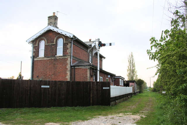
Pulham Market railway station

Pulham Market (originally Pulham St Magdalene) was a railway station on the Waveney Valley Line in Norfolk, England. It was closed for passengers in 1953...

Tivetshall

Tivetshall is a civil parish in the South Norfolk district, in the county of Norfolk, England. The parish includes the villages of Tivetshall St Margaret...

Tivetshall St Margaret

Tivetshall St Margaret is a village and former civil parish, now in the parish of Tivetshall, in the South Norfolk district, in the county of Norfolk,...

Tivetshall St Mary

Tivetshall St Mary is a village and former civil parish, now in the parish of Tivetshall, in the South Norfolk district in the county of Norfolk, England...

Nearby Amenities

Located within 500m of 52.446746,1.2271
Island Cottage, adj
Naptan AtcoCode: 2900P124
Naptan Bearing: S
Naptan BusStopType: CUS
Naptan CommonName: Island Cottage
Naptan Indicator: adj
Naptan Landmark: Island Cottage
Naptan Locality: Colegate End
Naptan NaptanCode: nfodpdpm
Naptan Street: Colegate End Road
Naptan Verified: no
Source: naptan_import
Lat/Long: 52.4443152/1.2309614
Island Cottage, opp
Naptan AtcoCode: 2900P129
Naptan Bearing: N
Naptan BusStopType: CUS
Naptan CommonName: Island Cottage
Naptan Indicator: opp
Naptan Locality: Colegate End
Naptan NaptanCode: nfodpdtd
Naptan Street: Colegate End Road
Naptan Verified: no
Source: naptan_import
Lat/Long: 52.4441217/1.2308
Ford: yes
Lat/Long: 52.4476473/1.2260746
Give Way
Lat/Long: 52.4446563/1.2303123
Give Way
Lat/Long: 52.4468424/1.2334507
Power: pole
Lat/Long: 52.4429612/1.2298813
Power: pole
Lat/Long: 52.4439013/1.2292993
Power: pole
Lat/Long: 52.4445642/1.2288353
Power: pole
Lat/Long: 52.4451242/1.2287897
Power: pole
Lat/Long: 52.4454544/1.2287307
Power: pole
Lat/Long: 52.4461836/1.228162
Power: pole
Lat/Long: 52.4469519/1.2275666
Power: pole
Lat/Long: 52.4462392/1.2200832
Power: pole
Lat/Long: 52.446701/1.2225696
Power: pole
Lat/Long: 52.4465236/1.2215893
Power: pole
Lat/Long: 52.4475012/1.2266627
Power: pole
Lat/Long: 52.4469863/1.2240663
Power: pole
Lat/Long: 52.4472625/1.2254879
Give Way
Lat/Long: 52.4473585/1.2254216
Give Way
Lat/Long: 52.447492/1.2253642
Post Box
Collection Times: Mo-Fr 09:00, Sa 07:45
Operator: Royal Mail
Post Box Mounting: pier
Post Box Type: lamp
Ref: IP21 7093
Royal Cypher: EIIR
Royal Cypher Wikidata: Q33102113
Lat/Long: 52.4445691/1.2303896
Give Way
Lat/Long: 52.4444245/1.2307329
Give Way
Lat/Long: 52.444803/1.2307532
Description: Pulham Market Circular Walk
Information: route_marker
Tourism: information
Lat/Long: 52.444328/1.2306887
Power: pole
Lat/Long: 52.4472367/1.2280726
Power: pole
Lat/Long: 52.4472959/1.2288142
Power: pole
Lat/Long: 52.4436357/1.2318294
Power: pole
Lat/Long: 52.4425502/1.2286713
Power: pole
Lat/Long: 52.4440257/1.2329361
The data included in this document is from www.openstreetmap.org. The data is made available under ODbL.

Have you been to Colegate End?

Leave your review of Colegate End below (or comments, questions and feedback).