Warwick Park
Wood, Forest in Cumberland Carlisle
England
Warwick Park

Warwick Park, located in Cumberland, is a picturesque woodland area known for its tranquil atmosphere and natural beauty. Covering a vast expanse of land, the park is a haven for nature enthusiasts, offering a wide range of activities and amenities for visitors of all ages.
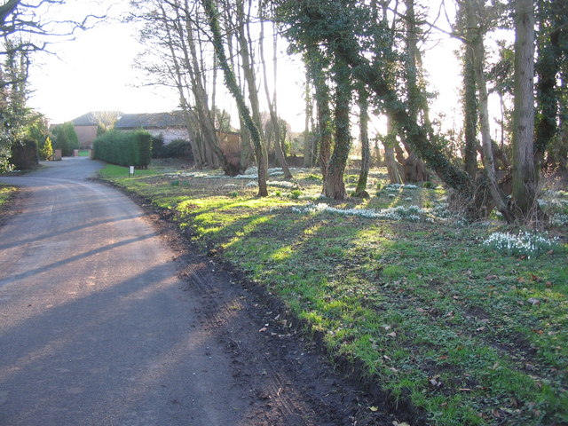
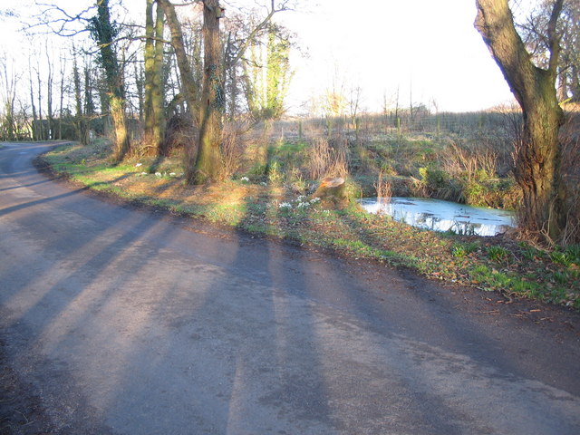
The park is primarily made up of dense forests, consisting of a variety of tree species such as oak, maple, and pine. These towering trees provide shelter and habitat for a diverse array of wildlife, including birds, squirrels, and deer, making it an ideal spot for birdwatching and wildlife observation.
The park boasts an extensive network of hiking trails, allowing visitors to explore the stunning woodlands at their own pace. These trails wind through the park, offering breathtaking views of the surrounding countryside and opportunities for peaceful walks or invigorating hikes.
Warwick Park also features several picnic areas, complete with tables and grills, making it a popular destination for family outings and social gatherings. Additionally, there are designated camping areas for those looking to spend a night under the stars, immersing themselves in the tranquility of nature.
For those seeking more adventurous activities, the park offers opportunities for fishing and boating on its pristine lakes and rivers. Anglers can try their luck at catching a variety of fish species, while boaters can enjoy leisurely rides on the calm waters, taking in the scenic views.
Overall, Warwick Park in Cumberland is a natural haven, providing a peaceful retreat from the bustle of everyday life. Its lush woodlands, diverse wildlife, and range of recreational activities make it a must-visit destination for nature lovers and outdoor enthusiasts alike.
If you have any feedback on the listing, please let us know in the comments section below.
Warwick Park Images
Images are sourced within 2km of 54.903724/-2.8359596 or Grid Reference NY4656. Thanks to Geograph Open Source API. All images are credited.


Warwick Park is located at Grid Ref: NY4656 (Lat: 54.903724, Lng: -2.8359596)
Administrative County: Cumbria
District: Carlisle
Police Authority: Cumbria
What 3 Words
///storm.snipe.producing. Near Wetheral, Cumbria
Nearby Locations
Related Wikis

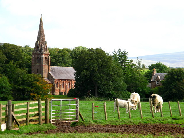

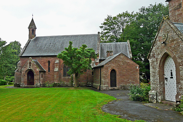


Nearby Amenities
Located within 500m of 54.903724,-2.8359596Have you been to Warwick Park?
Leave your review of Warwick Park below (or comments, questions and feedback).