Black Wood

Wood, Forest in Cumberland Eden

England

Black Wood

The Laithes cross roads entrance. The Laithes lies through the second pair of white posts and uses another entrance, presumably on the grounds of safety.
The Laithes cross roads entrance. Credit: John Holmes

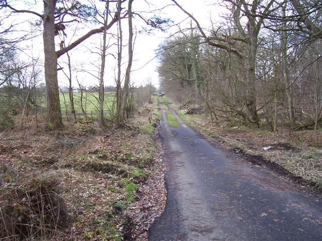
Located in the county of Cumbria, England, Black Wood is a picturesque forest that covers an area of approximately 120 hectares. Situated within the Lake District National Park, this ancient woodland is known for its dense canopy of tall, mature trees, predominantly consisting of oak, birch, and ash. The forest is characterized by its rich biodiversity, supporting a wide variety of flora and fauna.

Black Wood is a popular destination for nature enthusiasts and hikers alike, offering numerous well-marked trails that meander through its enchanting pathways. The forest's undulating terrain provides visitors with breathtaking views of the surrounding landscape, including the nearby Loweswater and Crummock Water lakes. These natural features contribute to the serene atmosphere and make Black Wood an idyllic spot for relaxation and contemplation.

The forest is home to a diverse range of wildlife, with sightings of red squirrels, roe deer, and a variety of bird species being common. This has made Black Wood an important conservation site, with efforts made to protect and preserve its natural habitats.

Visitors to Black Wood can enjoy a host of activities such as birdwatching, photography, and picnicking. The forest also offers ample opportunities for educational experiences, with various interpretive signs and information boards scattered throughout, providing insights into the area's history, ecology, and management.

Overall, Black Wood in Cumberland is a captivating forest that offers visitors a chance to immerse themselves in nature, explore its diverse ecosystem, and appreciate the beauty of the surrounding Lake District National Park.

If you have any feedback on the listing, please let us know in the comments section below.
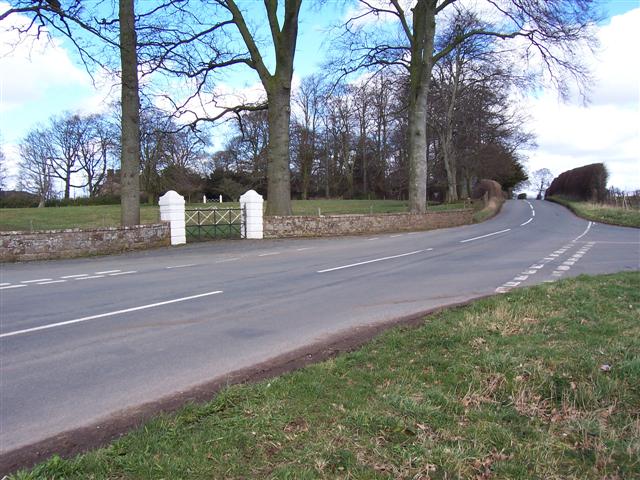
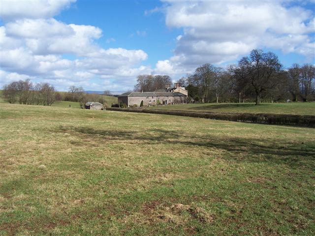
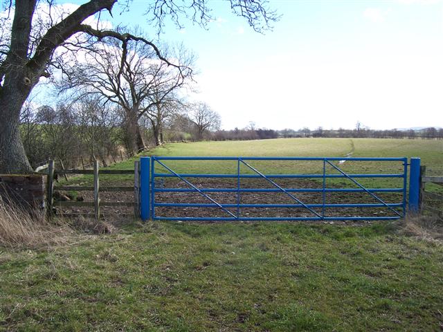
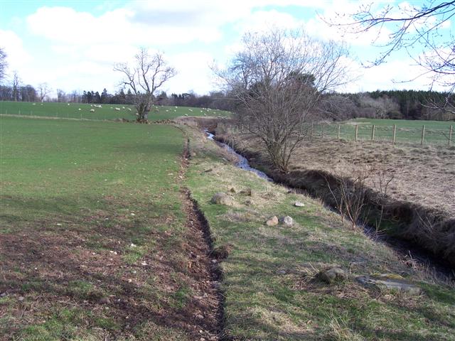
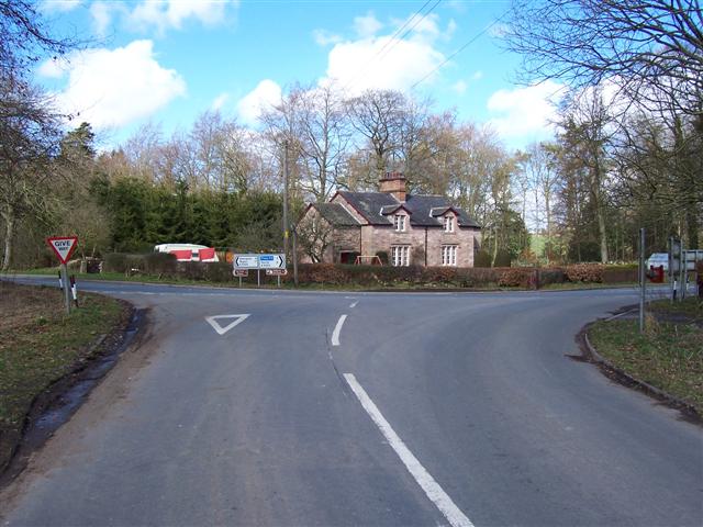
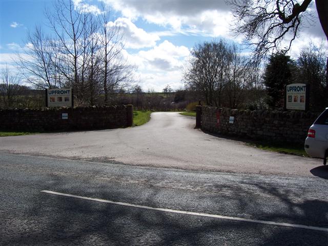
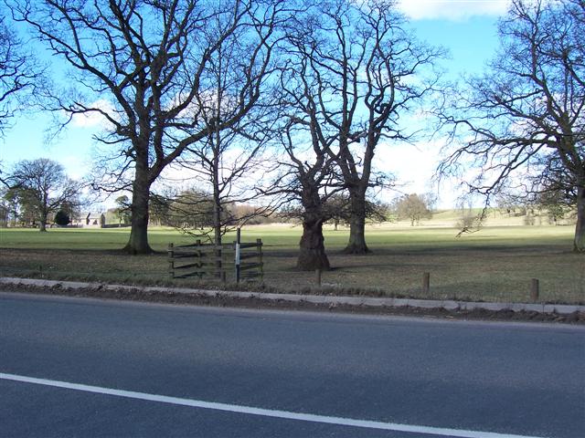
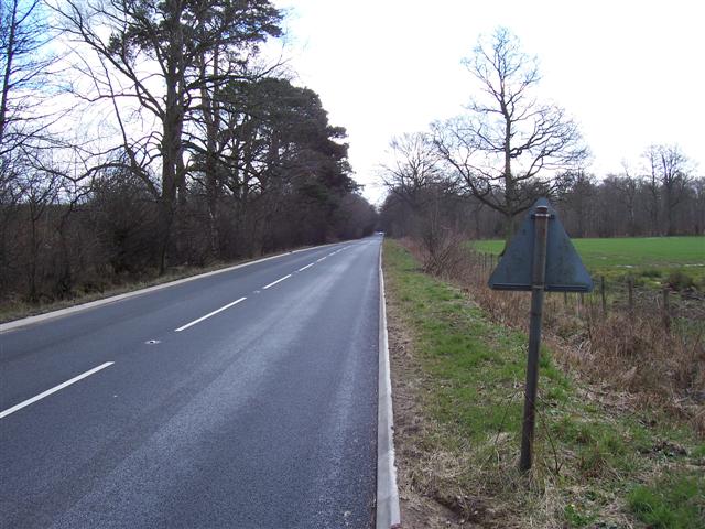
Black Wood Images

Images are sourced within 2km of 54.707778/-2.8318767 or Grid Reference NY4635. Thanks to Geograph Open Source API. All images are credited.

The Laithes cross roads entrance. The Laithes lies through the second pair of white posts and uses another entrance, presumably on the grounds of safety.
The Laithes cross roads entrance.
The Laithes lies through the second pair of white posts and uses another entrance, presumably on the grounds of safety.
The Laithes.
The Laithes.
Blue gate and beck. The colour will be significant to the estate denoting all the fields that are theirs and the small beck is on the left with a lot of growth forming a hedge.
Blue gate and beck.
The colour will be significant to the estate denoting all the fields that are theirs and the small beck is on the left with a lot of growth forming a hedge.
Do not plough too near the beck! A fairly sandy soil in this area prevents the farmers from cultivating too close or the water will undermine the field.
Do not plough too near the beck!
A fairly sandy soil in this area prevents the farmers from cultivating too close or the water will undermine the field.
Fowrass. A recently rebuilt farmhouse.
Fowrass.
A recently rebuilt farmhouse.
Fowrass farm. A large spread of buildings well hidden from the main road by a hollow.
Fowrass farm.
A large spread of buildings well hidden from the main road by a hollow.
Unthank Junction. The area is home to Hutton in the forest and most of the buildings were something to do with the estate.
Unthank Junction.
The area is home to Hutton in the forest and most of the buildings were something to do with the estate.
Wet Muddy Track. Part of the Hutton in the forest estate.
Wet Muddy Track.
Part of the Hutton in the forest estate.
Entrance to Upfront. An art gallery and cafe.
Entrance to Upfront.
An art gallery and cafe.
Hutton in the Forest Parkland Beautiful parkland may have encouraged people to walk to the church showing on the left in the olden days.
Hutton in the Forest Parkland
Beautiful parkland may have encouraged people to walk to the church showing on the left in the olden days.
Thornbarrow. Quite a few "Barrows" in this area.
Thornbarrow.
Quite a few "Barrows" in this area.
Tarmac track. There must have been a surplus when they tarmacked the adjacent B5305.
Tarmac track.
There must have been a surplus when they tarmacked the adjacent B5305.
B5305 Penrith to Wigton route. Newly resurfaced along here.
B5305 Penrith to Wigton route.
Newly resurfaced along here.
Parkland with cock pheasant. The pheasants are in fine colours at the moment trying to attract a partner.
Parkland with cock pheasant.
The pheasants are in fine colours at the moment trying to attract a partner.
Entrance to The Laithes Large house hidden by the tree right of centre
Entrance to The Laithes
Large house hidden by the tree right of centre
Hutton in the Forest Interesting house and gardens
Hutton in the Forest
Interesting house and gardens
Hutton-in-the-Forest, view from the Low Garden The home of Lord and Lady Inglewood. The house and grounds are open to the public from spring to autumn. <span class="nowrap"><a title="http://www.huttoninforest.f9.co.uk/" rel="nofollow ugc noopener" href="http://www.huttoninforest.f9.co.uk/">Link</a><img style="margin-left:2px;" alt="External link" title="External link - shift click to open in new window" src="https://s1.geograph.org.uk/img/external.png" width="10" height="10"/></span>
Hutton-in-the-Forest, view from the Low Garden
The home of Lord and Lady Inglewood. The house and grounds are open to the public from spring to autumn. LinkExternal link
Hutton-in-the-Forest, house and courtyard The house has developed through several centuries of building, starting with a 14th century pele tower (in the right corner, behind the people). Owner's website <span class="nowrap"><a title="http://www.hutton-in-the-forest.co.uk" rel="nofollow ugc noopener" href="http://www.hutton-in-the-forest.co.uk">Link</a><img style="margin-left:2px;" alt="External link" title="External link - shift click to open in new window" src="https://s1.geograph.org.uk/img/external.png" width="10" height="10"/></span> .
Hutton-in-the-Forest, house and courtyard
The house has developed through several centuries of building, starting with a 14th century pele tower (in the right corner, behind the people). Owner's website LinkExternal link .
Show me another place!

Black Wood is located at Grid Ref: NY4635 (Lat: 54.707778, Lng: -2.8318767)

Administrative County: Cumbria

District: Eden

Police Authority: Cumbria

What 3 Words

///hugs.heightens.frost. Near Penrith, Cumbria

Related Wikis

Nearby Amenities

Located within 500m of 54.707778,-2.8318767
Doghills Wood
Natural: wood
Lat/Long: 54.7082396/-2.8296388
Black wood
Natural: wood
Lat/Long: 54.707409/-2.8323424
Coltclose
Natural: wood
Lat/Long: 54.7100649/-2.8258247
Power: pole
Lat/Long: 54.7040122/-2.829153
Power: pole
Lat/Long: 54.7056007/-2.8279447
Power: pole
Lat/Long: 54.7063104/-2.8273568
Power: pole
Lat/Long: 54.7074335/-2.8276095
Power: pole
Lat/Long: 54.7085349/-2.8278722
Power: pole
Lat/Long: 54.7096232/-2.8281248
Power: pole
Lat/Long: 54.7107476/-2.82843
Power: pole
Lat/Long: 54.7117491/-2.828335
The data included in this document is from www.openstreetmap.org. The data is made available under ODbL.

Have you been to Black Wood?

Leave your review of Black Wood below (or comments, questions and feedback).