Ash Holt
Wood, Forest in Lancashire West Lancashire
England
Ash Holt
Ash Holt is a small village located in the county of Lancashire, England. Situated in the heart of the Forest of Bowland, it is surrounded by lush woodlands, making it an ideal destination for nature enthusiasts and those seeking tranquility away from the hustle and bustle of city life.
The village itself is characterized by its quaint charm and traditional architecture. Many of the houses in Ash Holt date back several centuries, giving the area a sense of history and heritage. The local community is tight-knit and friendly, with a population of around 300 residents.
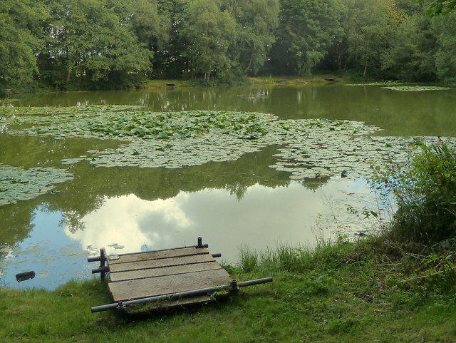
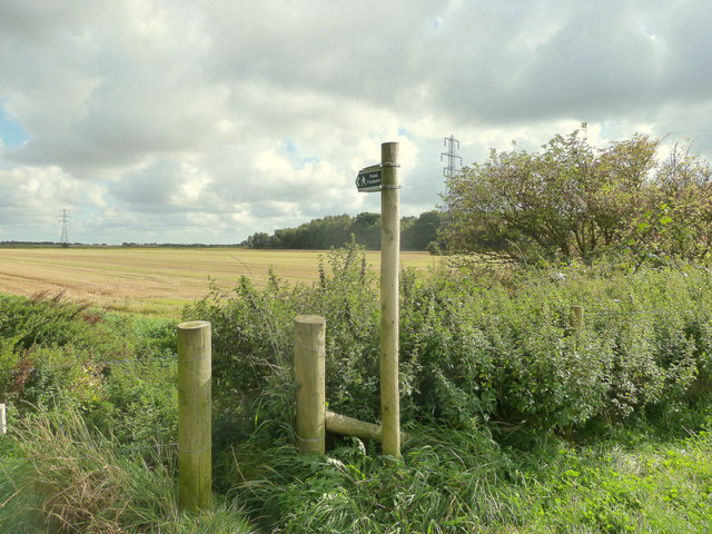
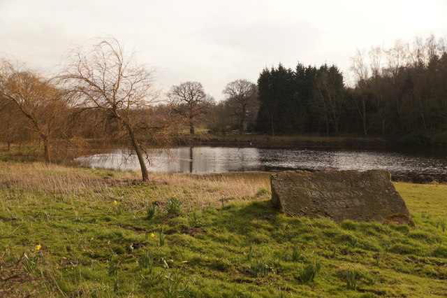
The Forest of Bowland, which encompasses Ash Holt, is known for its diverse ecosystem and rich wildlife. The woodlands are home to a variety of tree species, including ash, oak, and birch, providing a stunning backdrop for outdoor activities such as hiking, birdwatching, and photography. The forest also boasts several walking trails and picnic areas, allowing visitors to immerse themselves in the natural beauty of the area.
In addition to its natural attractions, Ash Holt is also conveniently located near several amenities. The nearby town of Clitheroe offers a range of shops, restaurants, and pubs, ensuring that residents have access to essential services and entertainment options.
Overall, Ash Holt, Lancashire is a charming village nestled within the picturesque Forest of Bowland. With its stunning woodlands, historic architecture, and welcoming community, it is an idyllic destination for those seeking a peaceful retreat in the heart of nature.
If you have any feedback on the listing, please let us know in the comments section below.
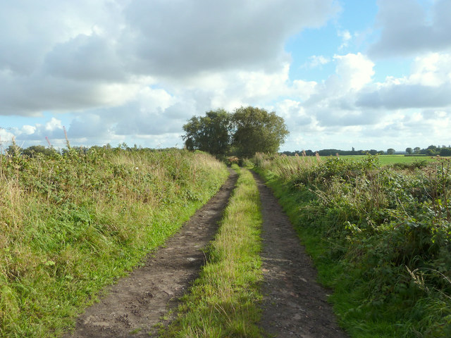
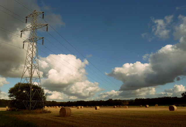
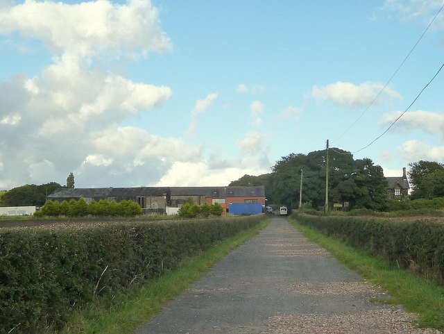
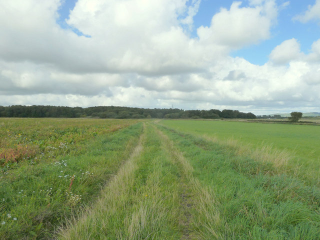
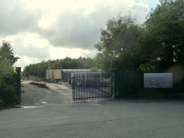
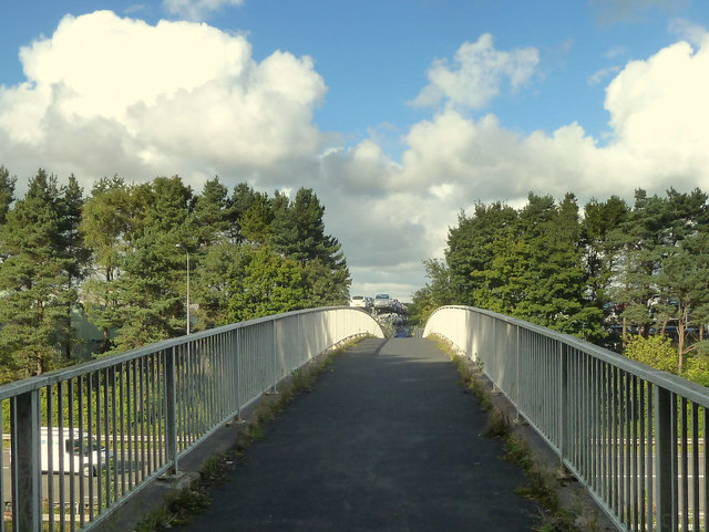
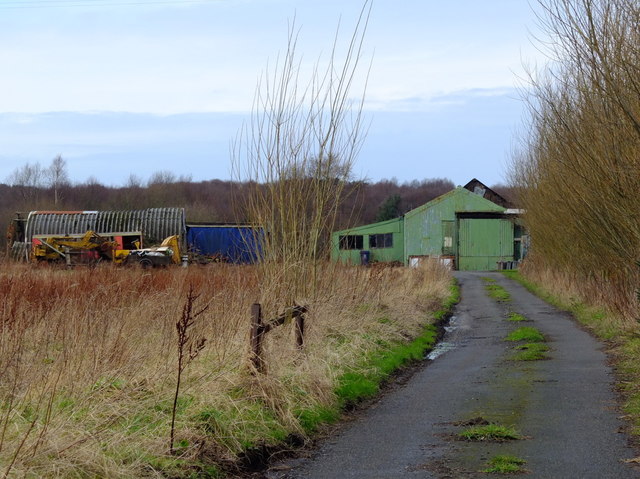
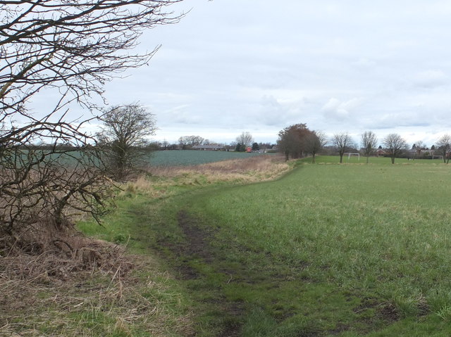
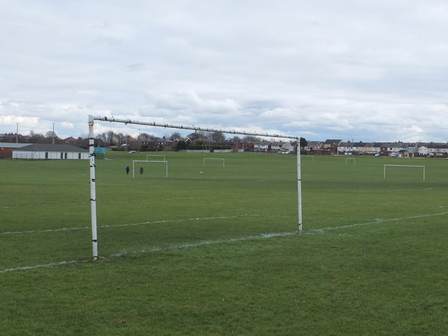
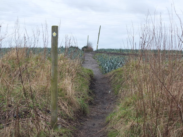
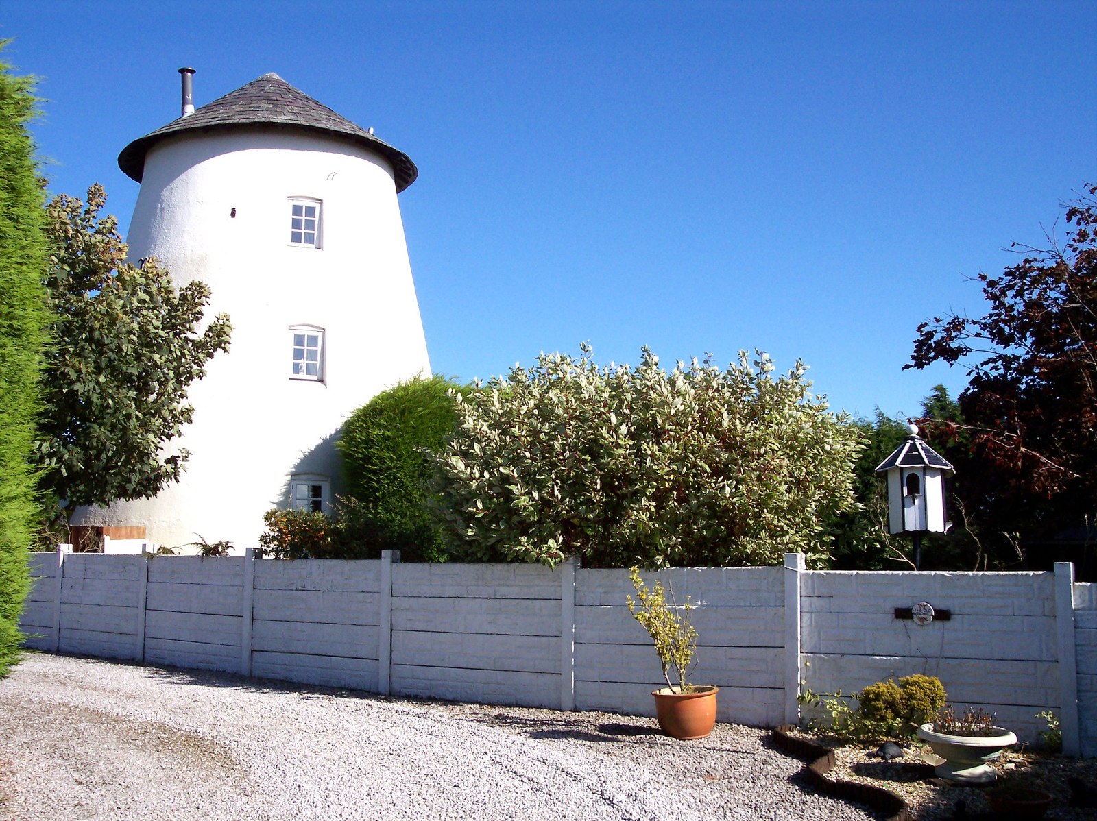
Ash Holt Images
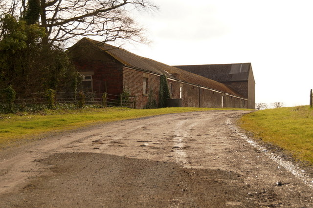
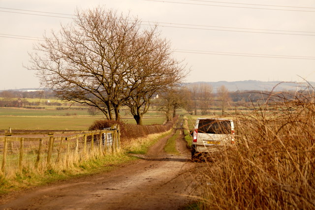
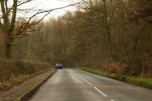
Images are sourced within 2km of 53.532261/-2.8145842 or Grid Reference SD4604. Thanks to Geograph Open Source API. All images are credited.
Ash Holt is located at Grid Ref: SD4604 (Lat: 53.532261, Lng: -2.8145842)
Administrative County: Lancashire
District: West Lancashire
Police Authority: Lancashire
What 3 Words
///rugs.limp.digits. Near Skelmersdale, Lancashire
Nearby Locations
Related Wikis

Hey's Crossing Halt railway station
Hey's Crossing Halt railway station was on the Skelmersdale branch, which ran from Ormskirk to Rainford Junction via Skelmersdale. Most trains ran beyond...
White Moss Level Crossing Halt railway station
White Moss Level Crossing Halt railway station was on the Skelmersdale branch, which ran from Ormskirk to Rainford Junction via Skelmersdale. Most trains...
Bickerstaffe
Bickerstaffe is a village and civil parish in the West Lancashire district of Lancashire, England. According to the 2001 Census the population of the civil...

Skelmersdale railway station
Skelmersdale railway station was a station located on the Skelmersdale branch at Skelmersdale, England. The station was originally named Blague Gate, having...
Nearby Amenities
Located within 500m of 53.532261,-2.8145842Have you been to Ash Holt?
Leave your review of Ash Holt below (or comments, questions and feedback).