Colliery Plantation
Wood, Forest in Lancashire West Lancashire
England
Colliery Plantation
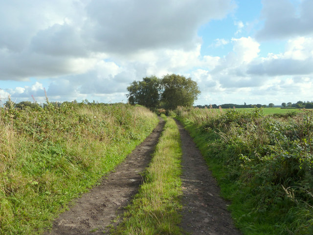
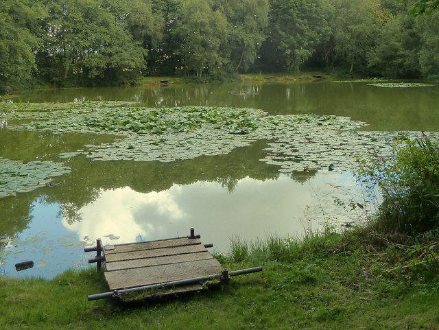
Colliery Plantation, located in Lancashire, England, is a picturesque woodland area known for its rich history and natural beauty. Situated near the town of Colne, the plantation covers a vast area of land, providing a serene escape for visitors seeking tranquility and a connection to nature.
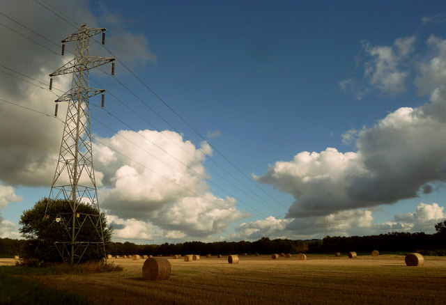
Originally, Colliery Plantation was part of an extensive coal mining industry during the 19th and early 20th centuries. The plantation's name reflects its close proximity to the once-thriving collieries that operated in the area. However, the site has since been transformed into a thriving woodland, with a variety of tree species, including oak, birch, and beech, now dominating the landscape.
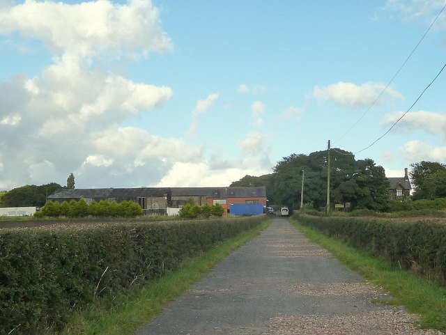
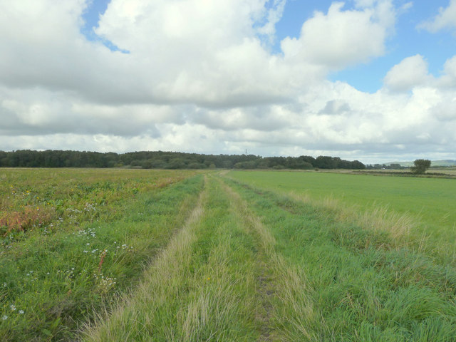
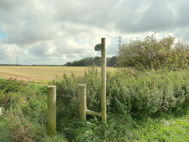
Visitors to Colliery Plantation can explore a network of well-maintained walking trails that wind their way through the dense woodland. These paths offer opportunities for leisurely strolls, jogging, or cycling, providing an ideal way to appreciate the plantation's natural beauty and observe the diverse wildlife that call it home. Birdwatchers, in particular, will be delighted by the abundance of avian species that inhabit the area.
The plantation is also a popular spot for picnics and family outings, with several designated picnic areas scattered throughout the woodland. These spaces offer peaceful settings for visitors to enjoy a meal while taking in the scenic surroundings. Moreover, the plantation provides a tranquil environment for those seeking respite from the hustle and bustle of everyday life.
Overall, Colliery Plantation in Lancashire is a hidden gem, offering a delightful combination of historical significance and natural splendor, making it a must-visit destination for nature enthusiasts and history buffs alike.
If you have any feedback on the listing, please let us know in the comments section below.
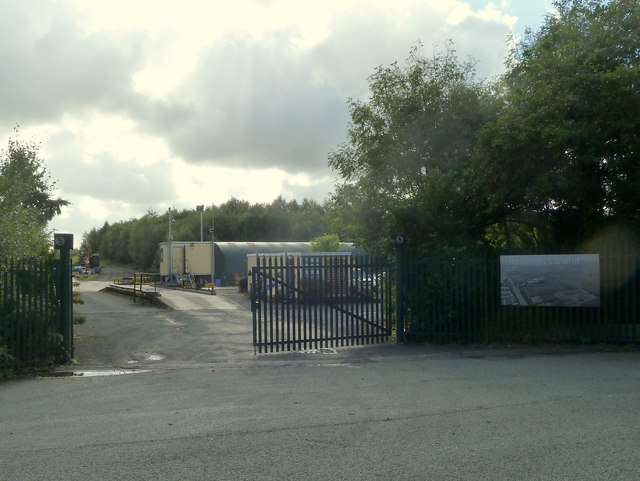
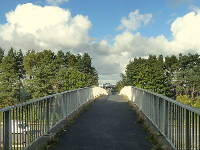
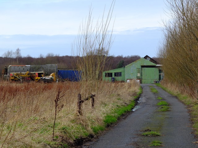
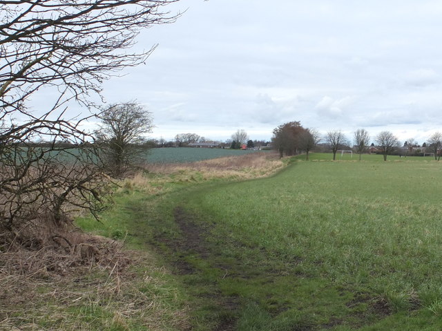
Colliery Plantation Images
Images are sourced within 2km of 53.538801/-2.8112242 or Grid Reference SD4604. Thanks to Geograph Open Source API. All images are credited.


Colliery Plantation is located at Grid Ref: SD4604 (Lat: 53.538801, Lng: -2.8112242)
Administrative County: Lancashire
District: West Lancashire
Police Authority: Lancashire
What 3 Words
///really.button.shapes. Near Skelmersdale, Lancashire
Nearby Locations
Related Wikis

White Moss Level Crossing Halt railway station
White Moss Level Crossing Halt railway station was on the Skelmersdale branch, which ran from Ormskirk to Rainford Junction via Skelmersdale. Most trains...
Hey's Crossing Halt railway station
Hey's Crossing Halt railway station was on the Skelmersdale branch, which ran from Ormskirk to Rainford Junction via Skelmersdale. Most trains ran beyond...

Skelmersdale railway station
Skelmersdale railway station was a station located on the Skelmersdale branch at Skelmersdale, England. The station was originally named Blague Gate, having...

St Paul's Church, Skelmersdale
St Paul's Church is in Church Road, Skelmersdale, Lancashire, England. It is an active Anglican parish church in the deanery of Ormskirk, the archdeaconry...
Nearby Amenities
Located within 500m of 53.538801,-2.8112242Have you been to Colliery Plantation?
Leave your review of Colliery Plantation below (or comments, questions and feedback).