Badnage Wood

Wood, Forest in Herefordshire

England

Badnage Wood

A long way from Ashford works A battered 12 ton plywood bodied ventilated van body, built to a Southern Railway design - probably at Ashford. Now lying in a field above Great Nupton.
A long way from Ashford works Credit: Philip Pankhurst

Badnage Wood is a picturesque woodland located in Herefordshire, England. Covering an area of approximately 50 acres, it is a part of the beautiful countryside landscape that the county is renowned for. The wood is situated near the village of Badnage and can be accessed via a public footpath from the surrounding area.

The woodland is characterized by a diverse range of trees, including oak, ash, beech, and birch. These majestic trees provide a dense canopy, creating a serene and tranquil atmosphere within the wood. The forest floor is rich in flora, with bluebells, primroses, and wild garlic carpeting the ground during the spring months.

Badnage Wood is home to a variety of wildlife, making it a haven for nature enthusiasts and photographers. Visitors might catch a glimpse of roe deer, foxes, badgers, and a myriad of bird species, including woodpeckers and owls. The wood's peacefulness and seclusion also attract a wide range of woodland birds, adding to the area's natural charm.

The wood offers several walking trails, allowing visitors to explore its beauty at their own pace. These well-maintained paths wind through the trees, offering glimpses of sunlight filtering through the foliage. The wood is a popular spot for picnics, with designated areas providing a perfect setting for families and friends to relax and enjoy the surroundings.

Overall, Badnage Wood is a hidden gem in Herefordshire, offering a serene escape from the hustle and bustle of daily life. Its natural beauty, diverse wildlife, and peaceful ambiance make it a must-visit destination for nature lovers and those seeking a tranquil retreat.

If you have any feedback on the listing, please let us know in the comments section below.
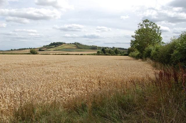
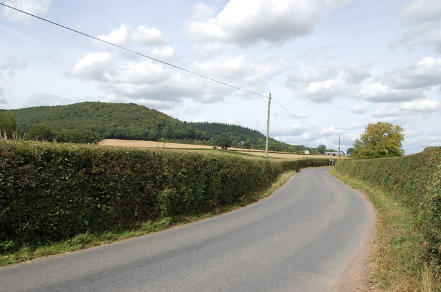
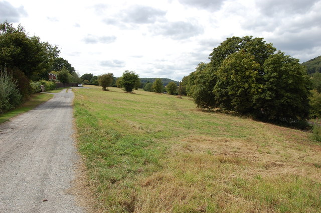
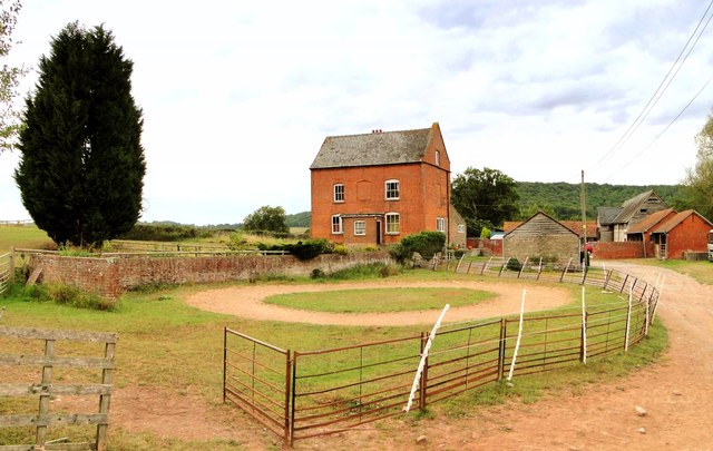
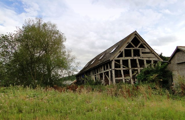
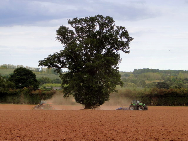
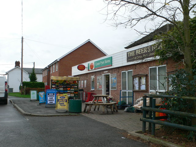
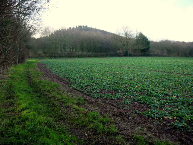
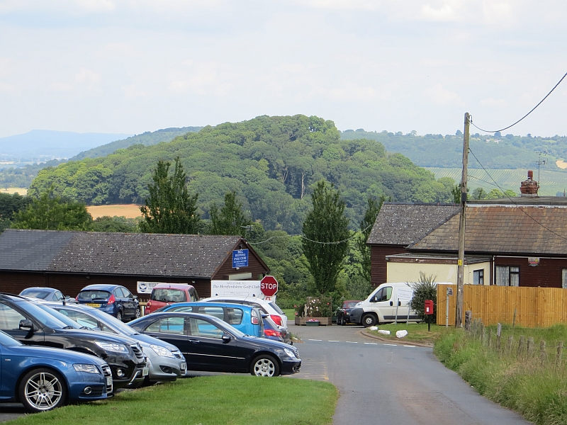
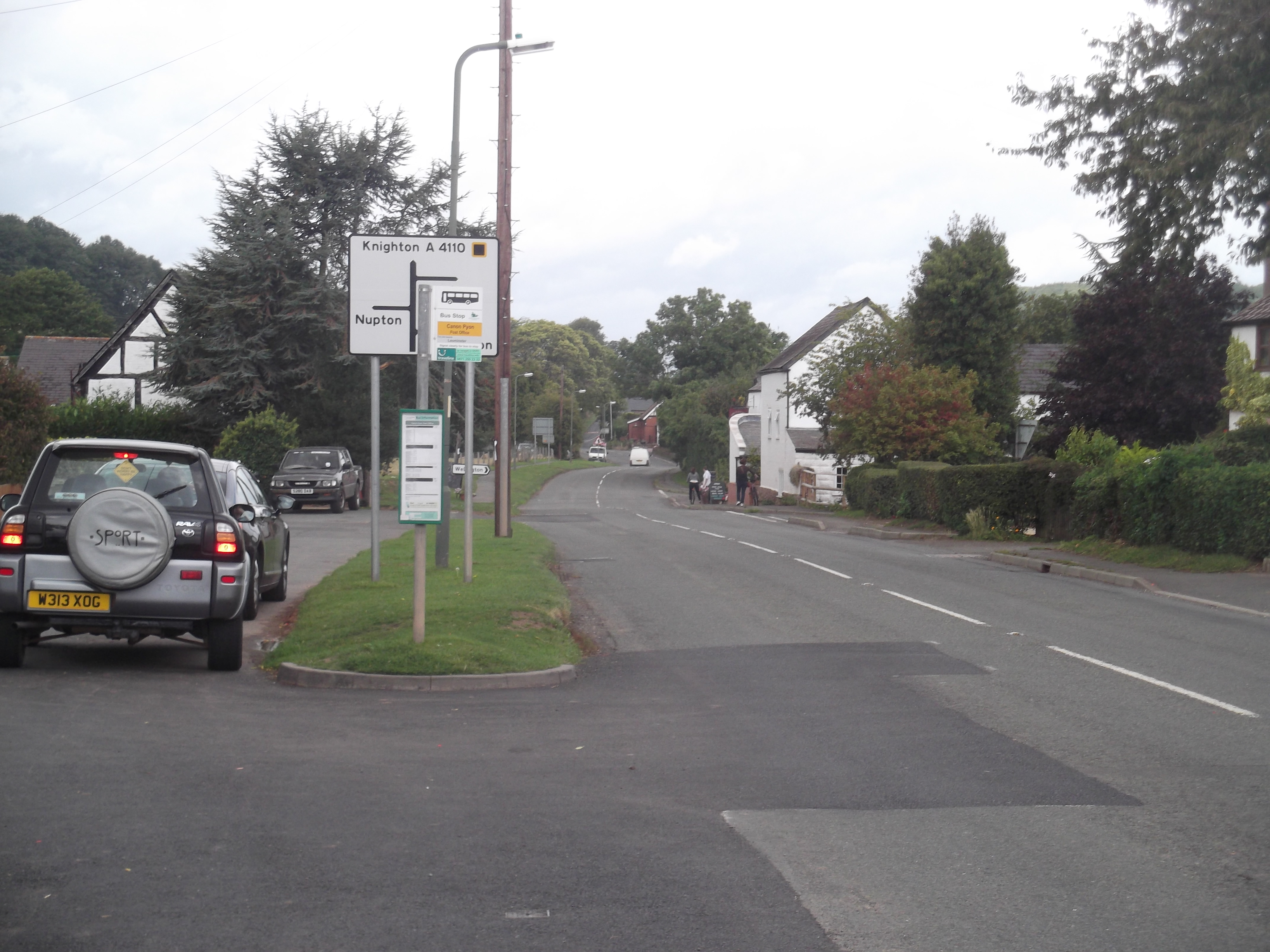
Badnage Wood Images

Images are sourced within 2km of 52.117394/-2.7935162 or Grid Reference SO4546. Thanks to Geograph Open Source API. All images are credited.

A long way from Ashford works A battered 12 ton plywood bodied ventilated van body, built to a Southern Railway design - probably at Ashford. Now lying in a field above Great Nupton.
A long way from Ashford works
A battered 12 ton plywood bodied ventilated van body, built to a Southern Railway design - probably at Ashford. Now lying in a field above Great Nupton.
Great Nupton farmhouse
Wheat Field
Wheat Field
Lane from Tillington Towards the A4110
Lane from Tillington
Towards the A4110
Tillington Common
Tillington Common
Hill Farm, Tillington At the end of a long lane which heads up into the hills. An 18th century farmhouse on an ancient site with a fine collection of outbuildings.
Hill Farm, Tillington
At the end of a long lane which heads up into the hills. An 18th century farmhouse on an ancient site with a fine collection of outbuildings.
Barn, Hill Farm 17th century barn at the rear of Hill Farm. A start at restoration and conversion has been made - note the Velux windows in the roof, but it is still in use for storage - the purpose for which it was built.
Barn, Hill Farm
17th century barn at the rear of Hill Farm. A start at restoration and conversion has been made - note the Velux windows in the roof, but it is still in use for storage - the purpose for which it was built.
Ploughing, Michdene Farm
Canon Pyon Stores and Post Office
Large pond at Tillington Hidden away near the village shop.
Large pond at Tillington
Hidden away near the village shop.
Blackcurrant crop at Tillington Common The prominent hill is Round Oak Hill.
Not a lot has changed since the first Geograph for this square taken in March 2006, <a href="https://www.geograph.org.uk/photo/146995">SO4546 : Fruit bushes at Woodfield Farm, Tillington Common</a>.
Blackcurrant crop at Tillington Common
The prominent hill is Round Oak Hill. Not a lot has changed since the first Geograph for this square taken in March 2006, SO4546 : Fruit bushes at Woodfield Farm, Tillington Common.
Cider orchard Viewed from the bridleway just west of the A4110 at The Parks.
Cider orchard
Viewed from the bridleway just west of the A4110 at The Parks.
Young rape crop The wooded eastern end of the elongated Nupton Hill beyond makes up the majority of this gridsquare.
Young rape crop
The wooded eastern end of the elongated Nupton Hill beyond makes up the majority of this gridsquare.
Farm road to Nupton Hill Farm Also a public footpath.
This is the first time a Geographer has set foot in this delightful gridsquare since Philip's visit in June 2007 - <a href="https://www.geograph.org.uk/photo/468647">SO4547 : Road and bridleway above Nupton</a>.
The steep slopes are given over to a mix of sheep pasture and woodland.
Farm road to Nupton Hill Farm
Also a public footpath. This is the first time a Geographer has set foot in this delightful gridsquare since Philip's visit in June 2007 - SO4547 : Road and bridleway above Nupton. The steep slopes are given over to a mix of sheep pasture and woodland.
Road to Nupton Hill Farm A well-made private road as well as public footpath leading up the top slope of Nupton Hill.
A row of beeches lines the edge with sheep pasture above on the right.
Road to Nupton Hill Farm
A well-made private road as well as public footpath leading up the top slope of Nupton Hill. A row of beeches lines the edge with sheep pasture above on the right.
Michdene Farm One of two farms on a very narrow dead-end lane to the east of Credenhill (left)
Michdene Farm
One of two farms on a very narrow dead-end lane to the east of Credenhill (left)
Two oak trees By the narrow lane to Hill Farm with Credenhill Wood to the left.
Two oak trees
By the narrow lane to Hill Farm with Credenhill Wood to the left.
Tillington village store The business also serves the adjoining caravan site and does garage services too.
Tillington village store
The business also serves the adjoining caravan site and does garage services too.
Show me another place!

Badnage Wood is located at Grid Ref: SO4546 (Lat: 52.117394, Lng: -2.7935162)

Unitary Authority: County of Herefordshire

Police Authority: West Mercia

What 3 Words

///barn.typist.numeral. Near Wellington, Herefordshire

Related Wikis

Brinsop Court

Brinsop Court, Brinsop, Herefordshire, England is a manor house dating from the 14th century. The house was much extended in the 16th and 17th centuries...

Brinsop and Wormsley

Brinsop and Wormsley is a civil parish in the county of Herefordshire, England. It includes the largely depopulated village settlements of Brinsop and...

Canon Pyon

Canon Pyon is a village and civil parish on the A4110 road in Herefordshire, England. The population of the parish at the 2011 Census was 542. The civil...

Wormsley Priory

Wormsley Priory was a monastic house in Herefordshire, England at grid reference SO43584847. == References ==

Burghill

Burghill is a village and civil parish in Herefordshire, England, north-west of Hereford. The parish includes the villages of Burghill, Tillington, Portway...

Brinsop

Brinsop is a village and former civil parish, now in the parish of Brinsop and Wormsley, in the county of Herefordshire, England. It is 6 miles north-west...

St Mary's Church, Wormsley

St Mary's Church is a redundant Anglican church in Wormsley, approximately 7.5 miles (12 km) north-west of Hereford, Herefordshire, England. It is recorded...

RAF Credenhill

RAF Credenhill, also known as RAF Hereford, was a non-flying station of the Royal Air Force situated in the village of Credenhill near Hereford, England...

Have you been to Badnage Wood?

Leave your review of Badnage Wood below (or comments, questions and feedback).