Tillington Common

Settlement in Herefordshire

England

Tillington Common

A long way from Ashford works A battered 12 ton plywood bodied ventilated van body, built to a Southern Railway design - probably at Ashford. Now lying in a field above Great Nupton.
A long way from Ashford works Credit: Philip Pankhurst

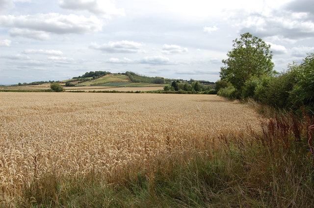
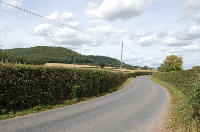
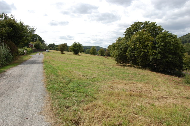
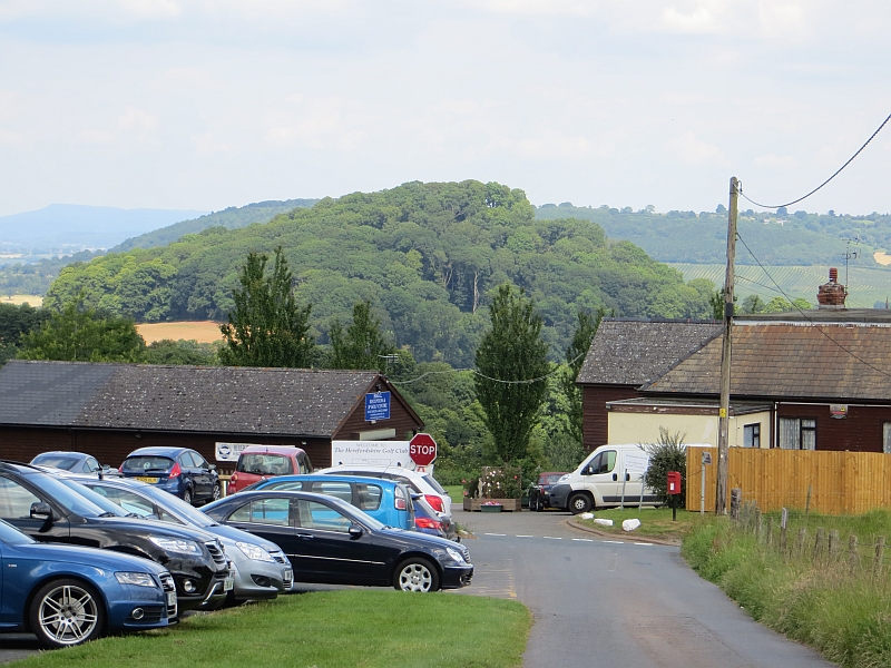
Tillington Common is a picturesque area located in Herefordshire, England. It is situated just outside the village of Tillington, approximately five miles north-west of the historic market town of Hereford. Covering an area of around 400 acres, the common is renowned for its natural beauty and diverse wildlife.

The common consists of open grassland, scattered with ancient oak trees and patches of woodland. It is crisscrossed by a network of footpaths, making it a popular destination for walkers and nature enthusiasts. The surrounding landscape offers stunning views of the nearby rolling hills and valleys, adding to the charm of the area.

Tillington Common is home to a wide range of plant and animal species. Wildflowers such as bluebells, primroses, and orchids can be found during the spring and summer months, providing a vibrant burst of color. The common is also a haven for birdlife, with species such as skylarks, buzzards, and kestrels frequently spotted soaring overhead.

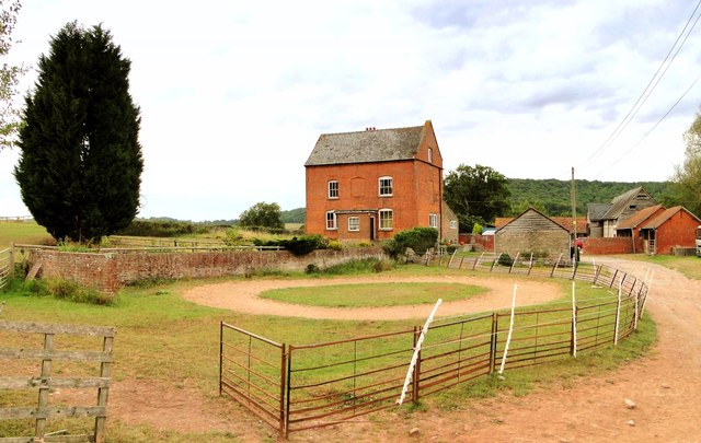
In addition to its natural beauty, Tillington Common holds historical significance. It has been used as common land for centuries, providing a valuable resource for the local community. The common continues to be grazed by livestock, preserving its traditional agricultural heritage.

Overall, Tillington Common offers visitors a tranquil escape from the hustle and bustle of city life. Its idyllic setting, diverse wildlife, and rich history make it a truly special place to explore and enjoy the natural beauty of Herefordshire.

If you have any feedback on the listing, please let us know in the comments section below.

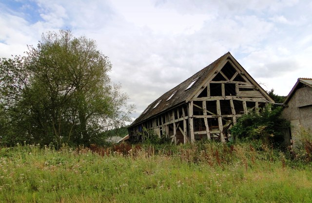
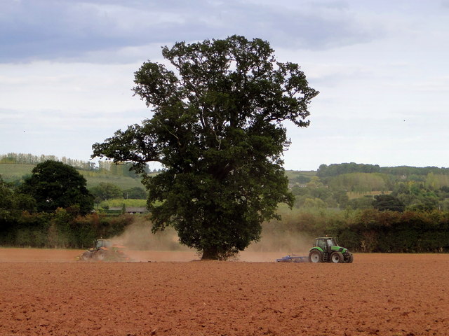
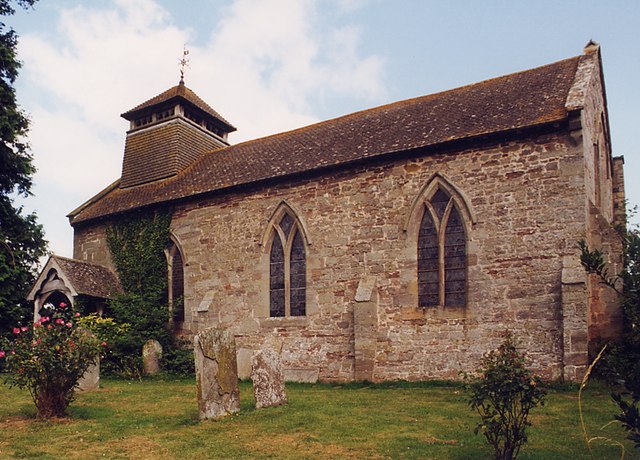
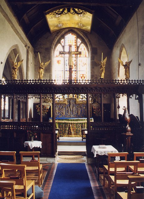
Tillington Common Images

Images are sourced within 2km of 52.110503/-2.8006658 or Grid Reference SO4546. Thanks to Geograph Open Source API. All images are credited.

A long way from Ashford works A battered 12 ton plywood bodied ventilated van body, built to a Southern Railway design - probably at Ashford. Now lying in a field above Great Nupton.
A long way from Ashford works
A battered 12 ton plywood bodied ventilated van body, built to a Southern Railway design - probably at Ashford. Now lying in a field above Great Nupton.
Wheat Field
Wheat Field
Lane from Tillington Towards the A4110
Lane from Tillington
Towards the A4110
Tillington Common
Tillington Common
Hill Farm, Tillington At the end of a long lane which heads up into the hills. An 18th century farmhouse on an ancient site with a fine collection of outbuildings.
Hill Farm, Tillington
At the end of a long lane which heads up into the hills. An 18th century farmhouse on an ancient site with a fine collection of outbuildings.
Barn, Hill Farm 17th century barn at the rear of Hill Farm. A start at restoration and conversion has been made - note the Velux windows in the roof, but it is still in use for storage - the purpose for which it was built.
Barn, Hill Farm
17th century barn at the rear of Hill Farm. A start at restoration and conversion has been made - note the Velux windows in the roof, but it is still in use for storage - the purpose for which it was built.
Ploughing, Michdene Farm
Crate of apples Crate of apples from Tillington fruit farm
Crate of apples
Crate of apples from Tillington fruit farm
St George, Brinsop
St George, Brinsop
St George, Brinsop - East end
St George, Brinsop - Interior
St George, Brinsop - Tympanum
St George, Brinsop - Altar canopy
St George, Brinsop - Pulpit
St George, Brinsop - Font
Large pond at Tillington Hidden away near the village shop.
Large pond at Tillington
Hidden away near the village shop.
Orchard road Dessert apple orchards near Tillington, viewed as emerging from the kissing gate on the footpath entering the square from the west.
Orchard road
Dessert apple orchards near Tillington, viewed as emerging from the kissing gate on the footpath entering the square from the west.
Blackcurrant crop at Tillington Common The prominent hill is Round Oak Hill.
Not a lot has changed since the first Geograph for this square taken in March 2006, <a href="https://www.geograph.org.uk/photo/146995">SO4546 : Fruit bushes at Woodfield Farm, Tillington Common</a>.
Blackcurrant crop at Tillington Common
The prominent hill is Round Oak Hill. Not a lot has changed since the first Geograph for this square taken in March 2006, SO4546 : Fruit bushes at Woodfield Farm, Tillington Common.
Show me another place!

Tillington Common is located at Grid Ref: SO4546 (Lat: 52.110503, Lng: -2.8006658)

Unitary Authority: County of Herefordshire

Police Authority: West Merica

What 3 Words

///castle.brownish.contents. Near Credenhill, Herefordshire

Related Wikis

Brinsop Court

Brinsop Court, Brinsop, Herefordshire, England is a manor house dating from the 14th century. The house was much extended in the 16th and 17th centuries...

Brinsop and Wormsley

Brinsop and Wormsley is a civil parish in the county of Herefordshire, England. It includes the largely depopulated village settlements of Brinsop and...

Brinsop

Brinsop is a village and former civil parish, now in the parish of Brinsop and Wormsley, in the county of Herefordshire, England. It is 6 miles north-west...

Burghill

Burghill is a village and civil parish in Herefordshire, England, north-west of Hereford. The parish includes the villages of Burghill, Tillington, Portway...

Wormsley Priory

Wormsley Priory was a monastic house in Herefordshire, England at grid reference SO43584847. == References ==

Credenhill

Credenhill is a village and civil parish in Herefordshire, England. The population of this civil parish taken at the 2011 Census was 2,271. == History... ==

RAF Credenhill

RAF Credenhill, also known as RAF Hereford, was a non-flying station of the Royal Air Force situated in the village of Credenhill near Hereford, England...

Stirling Lines

Stirling Lines is a British Army garrison in Credenhill, Herefordshire; the headquarters of the 22 Special Air Service Regiment (22 SAS) and the Special...

Nearby Amenities

Located within 500m of 52.110503,-2.8006658
Bus Stop
Post Box
Naptan AtcoCode: 2090A073000
Naptan Bearing: NW
Naptan CommonName: Post Box
Naptan Indicator: adj
Naptan Landmark: Post Box
Naptan NaptanCode: heradjaw
Naptan Street: Weobley Road
Naptan Verified: no
Source: naptan_import
Lat/Long: 52.1104809/-2.800743
Bus Stop
Post Box
Bus: yes
Naptan AtcoCode: 2090A18423
Naptan Bearing: SE
Naptan BusStopType: CUS
Naptan CommonName: Post Box
Naptan Indicator: opp
Naptan Landmark: Post Box
Naptan NaptanCode: heragpwa
Naptan Street: Weobley Road
Naptan Verified: no
Public Transport: platform
Source: naptan_import
Lat/Long: 52.1104791/-2.8005313
Tillington Common
Place: village
Source: OS OpenData StreetView
Lat/Long: 52.1105925/-2.7988063
Generator Method: photovoltaic
Generator Output Electricity: yes
Generator Source: solar
Generator Type: solar_photovoltaic_panel
Location: roof
Power: generator
Lat/Long: 52.1102792/-2.7978981
Generator Method: photovoltaic
Generator Output Electricity: yes
Generator Source: solar
Generator Type: solar_photovoltaic_panel
Location: roof
Power: generator
Lat/Long: 52.1101598/-2.7989683
Generator Method: photovoltaic
Generator Output Electricity: yes
Generator Source: solar
Generator Type: solar_photovoltaic_panel
Location: roof
Power: generator
Lat/Long: 52.1093304/-2.7984613
Post Box
Lat/Long: 52.1104693/-2.8007161
The data included in this document is from www.openstreetmap.org. The data is made available under ODbL.

Have you been to Tillington Common?

Leave your review of Tillington Common below (or comments, questions and feedback).