Brownspring Coppice
Wood, Forest in Westmorland South Lakeland
England
Brownspring Coppice

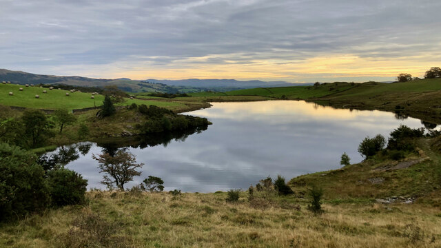
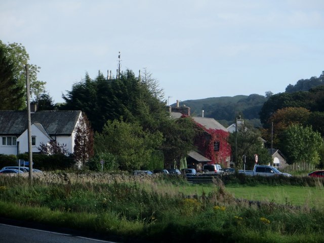
Brownspring Coppice is a picturesque wood located in the region of Westmorland, England. Situated amidst the rolling hills and lush countryside, this coppice is a prominent natural feature in the area. Spanning over a considerable area, it is a treasure trove of flora and fauna, making it a popular spot for nature enthusiasts and hikers.
The woodland is mainly composed of deciduous trees, including oak, beech, and birch. These towering trees create a dense canopy, providing a haven for a diverse range of wildlife. A variety of birds, such as woodpeckers, thrushes, and owls, can be spotted flitting amongst the branches. Small mammals like squirrels, rabbits, and hedgehogs also call this woodland home.
Brownspring Coppice is known for its vibrant display of wildflowers during the spring and summer seasons. The forest floor comes alive with a carpet of bluebells, primroses, and foxgloves, creating a stunning sight for visitors. This natural beauty is further enhanced by the presence of babbling brooks and small streams that meander through the wood, adding to its tranquility.
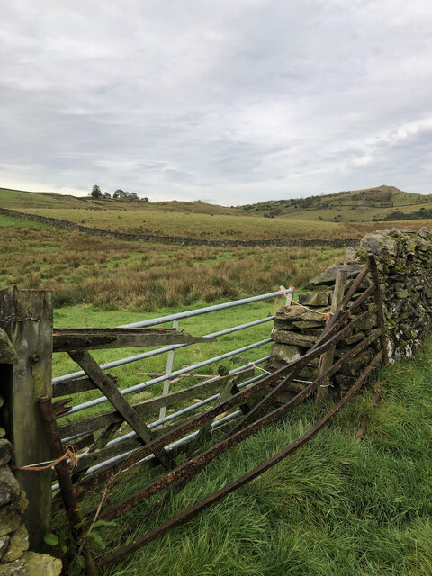
The wood is open to the public, providing various walking trails for visitors to explore its natural wonders. These trails offer different levels of difficulty, catering to both casual strollers and avid hikers. The peaceful atmosphere and breathtaking scenery make Brownspring Coppice a popular destination for those seeking solace in nature.
In summary, Brownspring Coppice in Westmorland is a magnificent woodland that showcases the beauty of the English countryside. With its diverse plant and animal life, it offers an immersive experience for nature lovers and serves as a serene retreat from the bustle of everyday life.
If you have any feedback on the listing, please let us know in the comments section below.
Brownspring Coppice Images
Images are sourced within 2km of 54.374611/-2.8364244 or Grid Reference SD4598. Thanks to Geograph Open Source API. All images are credited.


Brownspring Coppice is located at Grid Ref: SD4598 (Lat: 54.374611, Lng: -2.8364244)
Administrative County: Cumbria
District: South Lakeland
Police Authority: Cumbria
What 3 Words
///abacus.factoring.enormous. Near Staveley, Cumbria
Nearby Locations
Related Wikis
Reston Scar
Reston Scar is a fell in the Lake District of Cumbria, England. With a height of 837 feet (255 m), it overlooks the north side of Staveley village, and...
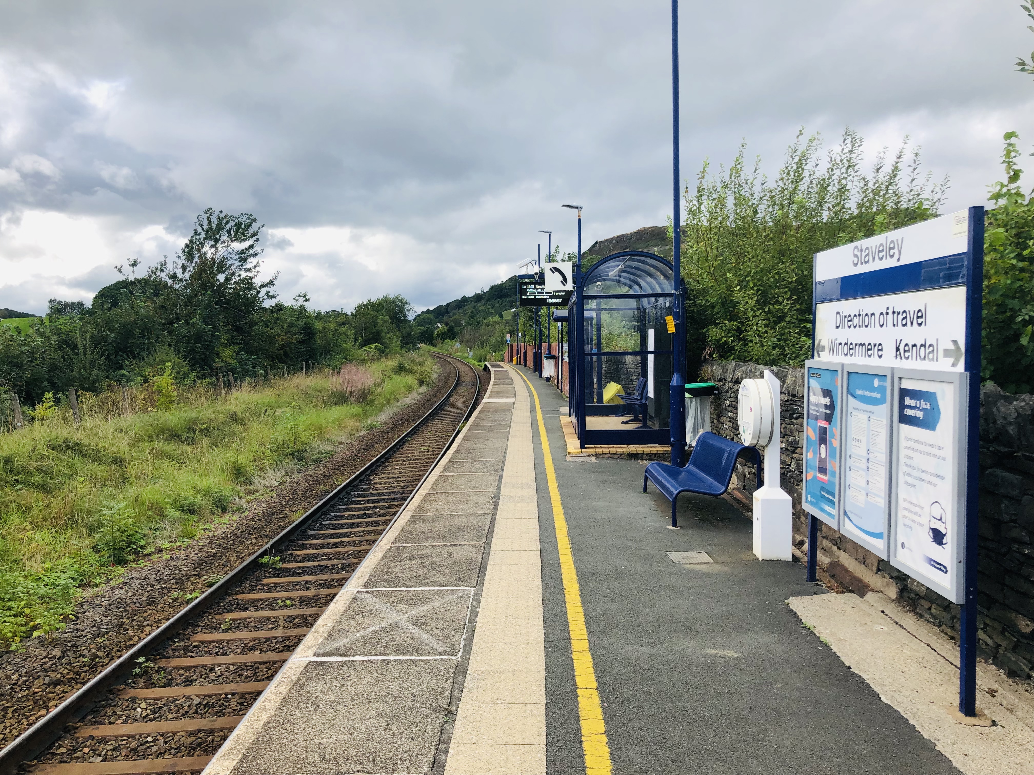
Staveley railway station
Staveley railway station is a railway station in Staveley in Cumbria, England. The station is on the Windermere Branch Line connecting Oxenholme and Windermere...

Nether Staveley
Nether Staveley is a civil parish in South Lakeland, Cumbria, England. The parish comprises the part of the village of Staveley south of the River Gowan...
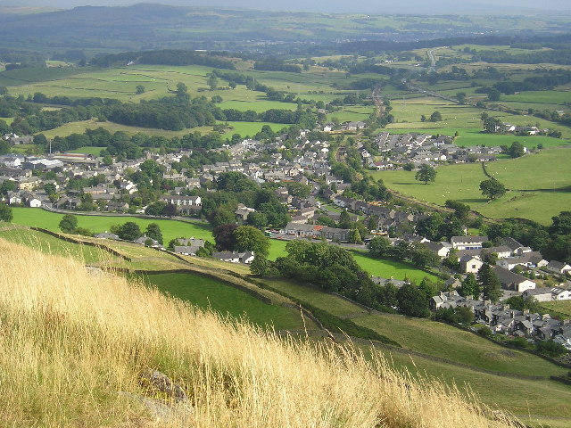
Staveley, Cumbria
Staveley (grid reference SD469981) is a village in the South Lakeland district, in Cumbria, England. Historically part of Westmorland, it is situated 4...
Over Staveley
Over Staveley is a civil parish in South Lakeland, Cumbria, England. The parish comprises most of the village of Staveley north of the River Gowan, and...
Ings, Cumbria
Ings is a village in the South Lakeland district of Cumbria, England. It lies on the course on the River Gowan and A591 road, 2 miles (3.2 km) east of...

Hugill
Hugill is a civil parish in Cumbria, England. Hugill includes the village of Ings and the hamlets of Grassgarth, and Reston plus a large part of the village...
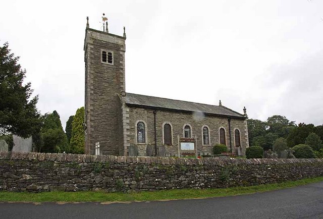
St James' Church, Staveley
St James' Church, Staveley is a Grade II listed parish church in the Church of England in Staveley, Cumbria. Its benefice is united with that of St Martin...
Nearby Amenities
Located within 500m of 54.374611,-2.8364244Have you been to Brownspring Coppice?
Leave your review of Brownspring Coppice below (or comments, questions and feedback).