King's Coppice

Wood, Forest in Herefordshire

England

King's Coppice

Croft Castle church
Croft Castle church Credit: Row17

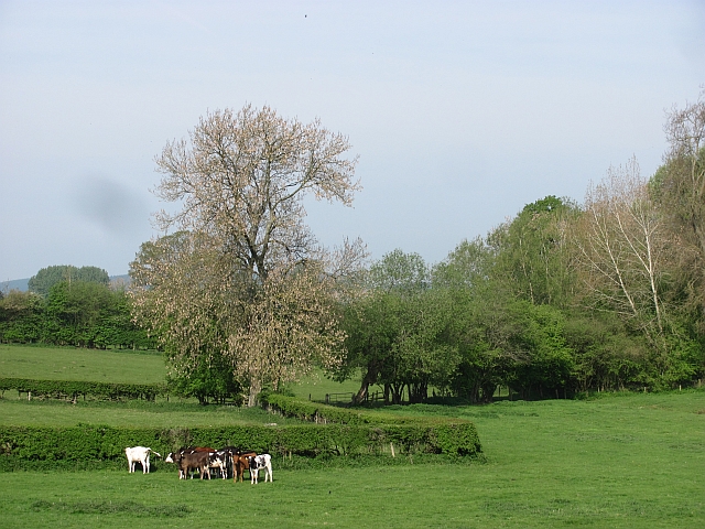
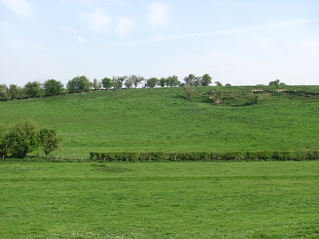
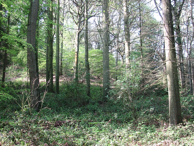
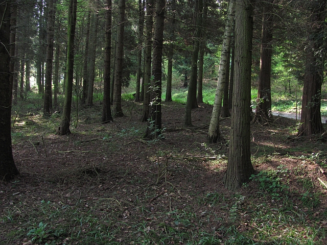
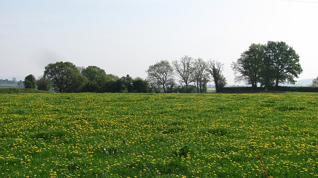
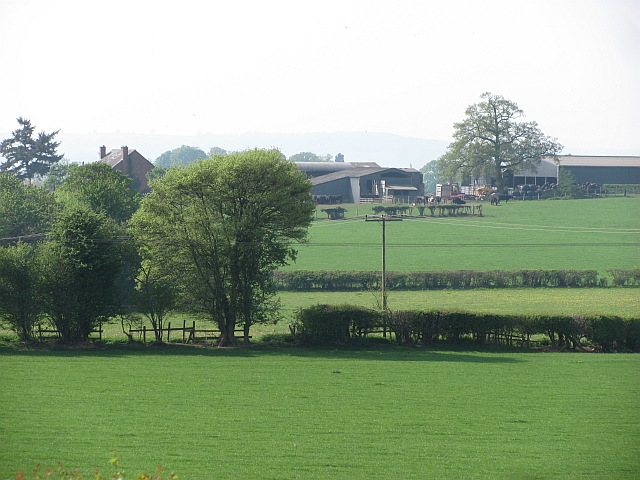
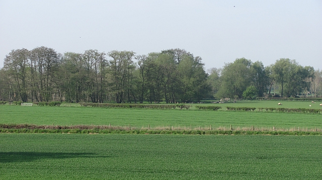
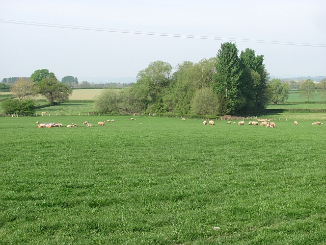
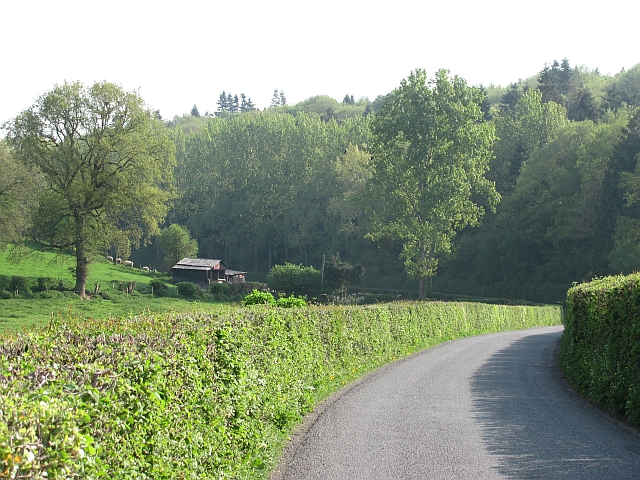
King's Coppice is a picturesque wood located in the county of Herefordshire, England. Covering an area of approximately 100 acres, this enchanting forest is situated near the village of Much Marcle. Known for its natural beauty and diverse flora and fauna, King's Coppice is a haven for nature lovers and outdoor enthusiasts.

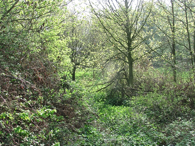
The woodland is predominantly composed of deciduous trees, including oak, beech, and ash, which create a lush and vibrant canopy during the spring and summer months. The forest floor is carpeted with a variety of wildflowers such as bluebells, primroses, and wood anemones, adding to the area's charm.

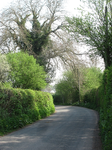
King's Coppice is crisscrossed by a network of well-maintained footpaths and trails, allowing visitors to explore the wood at their leisure. The tranquility and peacefulness of the surroundings provide the perfect setting for leisurely walks, picnics, and birdwatching.

The forest is home to a rich array of wildlife, including deer, badgers, foxes, and various bird species. Birdwatchers can spot woodpeckers, owls, and thrushes among the many feathered inhabitants of the wood.

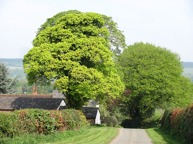
Visitors can also find several picnic areas and benches scattered throughout the wood, offering a chance to relax and soak in the beauty of the surroundings. The serene atmosphere and stunning scenery make King's Coppice a popular destination for nature photography and painting.

Overall, King's Coppice is a natural treasure in Herefordshire, providing a peaceful escape and a chance to connect with nature in a truly breathtaking setting.

If you have any feedback on the listing, please let us know in the comments section below.

King's Coppice Images

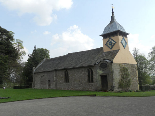
Images are sourced within 2km of 52.266568/-2.8024933 or Grid Reference SO4563. Thanks to Geograph Open Source API. All images are credited.

Croft Castle church
Croft Castle church
Plant stall Roadside stalls selling things like eggs, manure, firewood and here plants are very common around Leominster. This was the fifth that I passed since Luston.
Plant stall
Roadside stalls selling things like eggs, manure, firewood and here plants are very common around Leominster. This was the fifth that I passed since Luston.
Gathering pens, Aston (Eyton) Sheep handling equipment in a field of sheep.
Gathering pens, Aston (Eyton)
Sheep handling equipment in a field of sheep.
Pasture near Halford Hall Field with ewes and lambs.
Pasture near Halford Hall
Field with ewes and lambs.
Calves near Basket's Gate There are still small fields in the drumlin country near Yarpole.
Calves near Basket's Gate
There are still small fields in the drumlin country near Yarpole.
Drumlin near Yarpole One of a series of regular hills left behind by a retreating glacier between Shobdon and Luston.
Drumlin near Yarpole
One of a series of regular hills left behind by a retreating glacier between Shobdon and Luston.
Oaker Wood Mature woodland near Yarpole.  Home to a team building and adventure company.
Oaker Wood
Mature woodland near Yarpole. Home to a team building and adventure company.
Oaker Wood Mature mixed woodland near Yarpole. Home to an adventure and team building company.
Oaker Wood
Mature mixed woodland near Yarpole. Home to an adventure and team building company.
Farmland near Yarpole Dandelions in a green field south of Yarpole.
Farmland near Yarpole
Dandelions in a green field south of Yarpole.
Woodland, Bicton A young wood between some buildings and the road to Kingsland. This used to be a field and a gate remains, almost hidden by vegetation.
Woodland, Bicton
A young wood between some buildings and the road to Kingsland. This used to be a field and a gate remains, almost hidden by vegetation.
Yarpole to Kingsland road View in the direction of Yarpole.
Yarpole to Kingsland road
View in the direction of Yarpole.
Minor road near Bicton Looking downhill towards Bicton with a distant view of the great limestone ridge which begins as Wenlock Edge and carries on across northern Herefordshire.
Minor road near Bicton
Looking downhill towards Bicton with a distant view of the great limestone ridge which begins as Wenlock Edge and carries on across northern Herefordshire.
Farmland, The Riddle
Roadside sign, Eyton Advertising a stall selling vegetable seedlings.
Roadside sign, Eyton
Advertising a stall selling vegetable seedlings.
Lugg flood plain Mixed farmland and alder woods.
Lugg flood plain
Mixed farmland and alder woods.
Sheep, Aston
Sheep, Aston
Yarpole to Kingsland road The road passes Oaker Wood.
Yarpole to Kingsland road
The road passes Oaker Wood.
St.Michael & All Angels church The round tower is part of Croft Castle.
St.Michael & All Angels church
The round tower is part of Croft Castle.
Show me another place!

King's Coppice is located at Grid Ref: SO4563 (Lat: 52.266568, Lng: -2.8024933)

Unitary Authority: County of Herefordshire

Police Authority: West Mercia

What 3 Words

///cemented.rate.bridge. Near Kingsland, Herefordshire

Related Wikis

Bicton, Herefordshire

Bicton is a hamlet in the Croft and Yarpole parish in Herefordshire, England. It is on a crossroads south of Yarpole and north-east of Kingsland.

Lucton

Lucton is a village near the town of Leominster in the county of Herefordshire, England. It is best known for being the location of Lucton School, an...

Lucton School

Lucton School, is an independent, co-educational, day and boarding school in Lucton near Leominster, Herefordshire, England. It was founded in 1708 as...

Croft, Herefordshire

Croft is a village and former civil parish, now in the parish of Croft and Yarpole, in north Herefordshire, England. In 1961 the parish had a population...

Nearby Amenities

Located within 500m of 52.266568,-2.8024933
The data included in this document is from www.openstreetmap.org. The data is made available under ODbL.

Have you been to King's Coppice?

Leave your review of King's Coppice below (or comments, questions and feedback).