Sourbrows Wood
Wood, Forest in Cumberland Eden
England
Sourbrows Wood

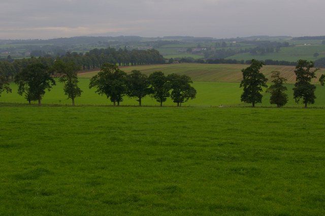
Sourbrows Wood, located in Cumberland, is a picturesque forest renowned for its natural beauty and diverse ecosystem. Covering an area of approximately 500 acres, this enchanting woodland is a haven for nature lovers and outdoor enthusiasts alike.
The wood is predominantly composed of ancient oak trees, interspersed with beech, birch, and hazel trees, creating a rich tapestry of colors throughout the seasons. The dense canopy provides a cool and tranquil atmosphere, making it a perfect retreat during hot summer days.
Walking through Sourbrows Wood, one can discover a plethora of wildlife, including various bird species, such as woodpeckers and owls, and small mammals such as squirrels, foxes, and badgers. The forest floor is adorned with a vibrant carpet of wildflowers, including bluebells, primroses, and foxgloves, enhancing the already captivating ambiance.
The wood is crisscrossed by a network of well-maintained footpaths, allowing visitors to explore its hidden treasures. These trails cater to all levels of fitness, providing options for leisurely strolls as well as more challenging hikes. Additionally, there are several picnic areas strategically placed throughout the forest, offering visitors a chance to rest and enjoy a meal while surrounded by nature.
Sourbrows Wood is not only a natural sanctuary but also an important conservation area. The forest is carefully managed to preserve its ecological balance and protect its diverse range of flora and fauna.
Overall, Sourbrows Wood in Cumberland offers a unique and captivating experience for anyone seeking solace in nature's embrace. Its stunning landscapes, abundant wildlife, and well-maintained trails make it a must-visit destination for nature enthusiasts and those looking to reconnect with the natural world.
If you have any feedback on the listing, please let us know in the comments section below.
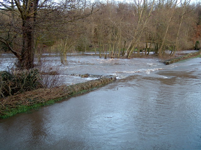
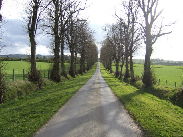
Sourbrows Wood Images
Images are sourced within 2km of 54.817895/-2.8523157 or Grid Reference NY4547. Thanks to Geograph Open Source API. All images are credited.


Sourbrows Wood is located at Grid Ref: NY4547 (Lat: 54.817895, Lng: -2.8523157)
Administrative County: Cumbria
District: Eden
Police Authority: Cumbria
What 3 Words
///folk.mend.topics. Near Wetheral, Cumbria
Nearby Locations
Related Wikis

Low Hesket
Low Hesket is a village in the English county of Cumbria. Low Hesket is on the A6 road 8+1⁄2 miles (13.7 km) south of Carlisle. This is a former Roman...
Wreay railway station
Wreay railway station in St Cuthbert Without parish, was situated on the Lancaster and Carlisle Railway (the West Coast Main Line) between Carlisle and...

Southwaite
Southwaite is a small village in the parish of Hesket, in the Eden District, in the English county of Cumbria. == Location == It is located on a minor...
Southwaite railway station
Southwaite railway station in Hesket parish, was situated on the Lancaster and Carlisle Railway (the West Coast Main Line) between Carlisle and Penrith...
Wreay
Wreay ( REE-ə) is a village and former civil parish, now in the parish of St Cuthbert Without, in the Cumberland district, in the ceremonial county of...
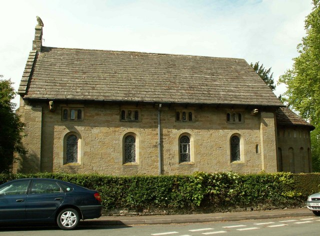
St Mary's Church, Wreay
St Mary's Church, Wreay is the Church of England parish church of Wreay in Cumbria. It was designed by Sara Losh in about 1835 and built between 1840 and...

Southwaite Services
Southwaite services is a motorway service station, between junctions 41 and 42 of the M6 motorway near Southwaite, Cumbria, England. It is about 7 miles...
Aiketgate
Aiketgate is a small village in the English county of Cumbria. It is within the civil parish of Hesket. Development of wind turbines in the Eden Valley...
Nearby Amenities
Located within 500m of 54.817895,-2.8523157Have you been to Sourbrows Wood?
Leave your review of Sourbrows Wood below (or comments, questions and feedback).