Spring Coppice

Wood, Forest in Shropshire

England

Spring Coppice

Lane to Netley One of the many narrow lanes on the north end of the Long Mynd; ideal cycling country - until you meet a tractor coming the other way.
Lane to Netley Credit: Richard Law

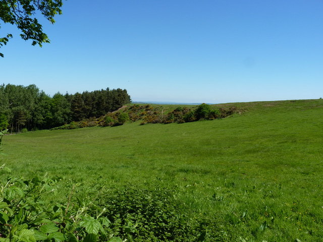
Spring Coppice is a charming wooded area located in Shropshire, a county in the West Midlands region of England. Covering a vast expanse of land, this forest is known for its captivating natural beauty and diverse range of flora and fauna.

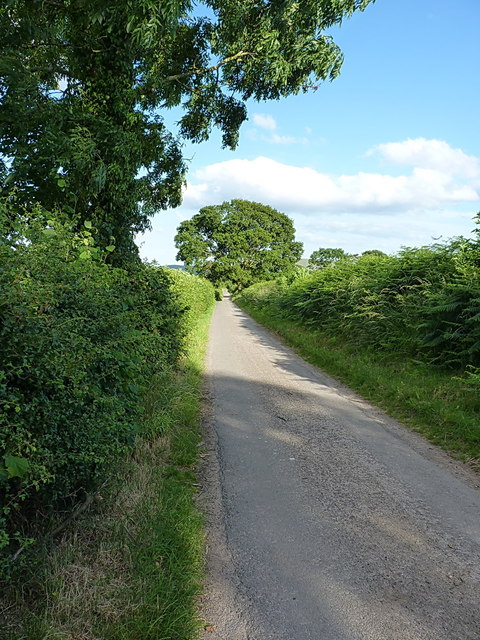
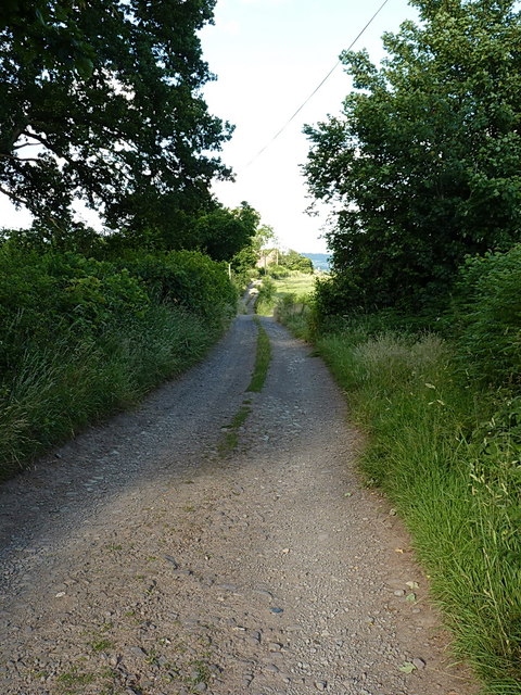
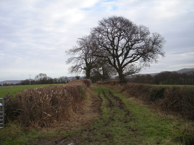
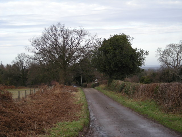
The woodland consists mainly of deciduous trees, such as oak, beech, and ash, which provide a stunning display of colors throughout the year. In spring, the forest comes alive with vibrant blossoms and fresh green foliage, creating a picturesque scene for visitors to enjoy. The dense canopy of trees offers a cool and shady retreat during the summer months, making it a popular spot for picnics and leisurely walks.

The forest floor is carpeted with a rich variety of plant life, including bluebells, wild garlic, and ferns, creating a vibrant tapestry of colors and textures. This abundance of vegetation provides a haven for numerous animal species, such as deer, foxes, and various bird species, making it a paradise for wildlife enthusiasts and photographers.

Spring Coppice is also intersected by several walking trails, allowing visitors to explore the forest at their own pace. These well-maintained paths wind their way through the trees, offering breathtaking views and opportunities for peaceful contemplation. Additionally, the forest is equipped with picnic areas and benches, providing a convenient space for visitors to relax and take in the tranquility of their surroundings.

Overall, Spring Coppice in Shropshire is a haven of natural beauty and a sanctuary for wildlife. Its enchanting woodland, diverse flora and fauna, and well-maintained trails make it a perfect destination for nature lovers and those seeking a peaceful escape from the hustle and bustle of everyday life.

If you have any feedback on the listing, please let us know in the comments section below.

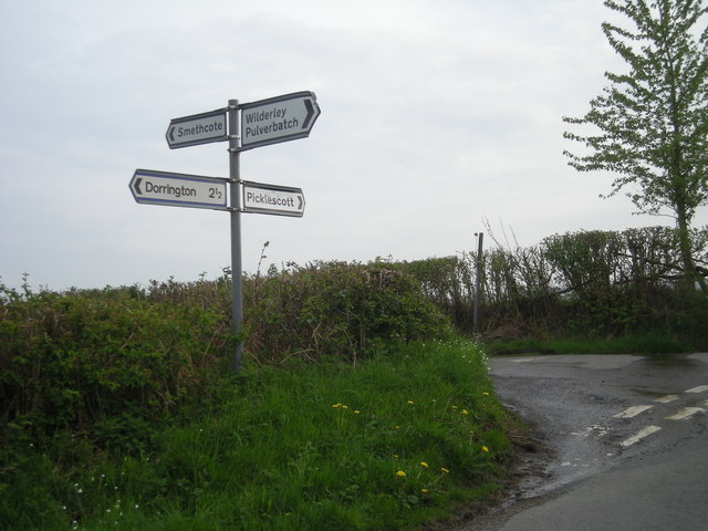
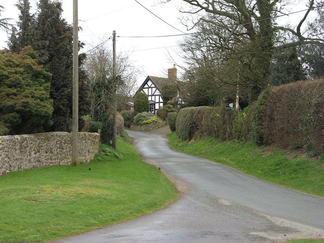
Spring Coppice Images

Images are sourced within 2km of 52.587274/-2.8083407 or Grid Reference SO4599. Thanks to Geograph Open Source API. All images are credited.

Lane to Netley One of the many narrow lanes on the north end of the Long Mynd; ideal cycling country - until you meet a tractor coming the other way.
Lane to Netley
One of the many narrow lanes on the north end of the Long Mynd; ideal cycling country - until you meet a tractor coming the other way.
The Range Rovers' Graveyard? Rather like the mythical Elephants' Graveyard, except that this one does exist. There were 4 full-blown Range Rovers, a classic Landrover Defender, a shonky caravan and (just out of shot) a VW Golf. All tucked into the corner of this field, and all beginning to deteriorate somewhat.
The Range Rovers' Graveyard?
Rather like the mythical Elephants' Graveyard, except that this one does exist. There were 4 full-blown Range Rovers, a classic Landrover Defender, a shonky caravan and (just out of shot) a VW Golf. All tucked into the corner of this field, and all beginning to deteriorate somewhat.
On the lane to Walkmills A narrow lane between Smethcott Dingle and the Walkmills junction; this is ideal cycling country, so long as you are OK with some hills.
On the lane to Walkmills
A narrow lane between Smethcott Dingle and the Walkmills junction; this is ideal cycling country, so long as you are OK with some hills.
Track through Longnor Park towards Park Farm An unsurfaced farm track and footpath, leading to the small settlement at park Farm, from where several paths spread out into the surrounding farmland.
Track through Longnor Park towards Park Farm
An unsurfaced farm track and footpath, leading to the small settlement at park Farm, from where several paths spread out into the surrounding farmland.
Grassland, Smethcott Farmland sloping down from the Long Mynd towards the Cheshire Plain (which also covers much of Shropshire). At 200m this is a long way from the moorland hills to the south.
Grassland, Smethcott
Farmland sloping down from the Long Mynd towards the Cheshire Plain (which also covers much of Shropshire). At 200m this is a long way from the moorland hills to the south.
Lane at Smethcote Common
Roadsign at Smethcote Common
Green Lane to Smethcote Dingle.
Lane to Factory Dingle.
Gated lane on a wet afternoon.
Lane to Walkmills Farm.
Lane towards The Lawley
Sign at Smethcote crossroads
Open fields on Smethcott Common
Steeply downhill on the lane near Smethcott Common
Field, Smethcott
Field, Smethcott
Field and yellow road, Smethcott.
Field, Smethcott Spring growth of grass.
Field, Smethcott
Spring growth of grass.
Show me another place!

Spring Coppice is located at Grid Ref: SO4599 (Lat: 52.587274, Lng: -2.8083407)

Unitary Authority: Shropshire

Police Authority: West Mercia

What 3 Words

///unwraps.blackmail.caravan. Near Longnor, Shropshire

Nearby Locations

Spring Coppice

Related Wikis

Smethcott

Smethcott (sometimes Smethcote) is a civil parish and dispersed hamlet near the village of Picklescott, in Shropshire, England. The population of the civil...

Woolstaston

Woolstaston is a small village and civil parish in Shropshire, England, south of Shrewsbury and north of the nearest town, Church Stretton. It is located...

Betchcott

Betchcott () is a hamlet near the villages of Picklescott and Woolstaston in Shropshire, England. It lies in the parish of Smethcott, in the northern foothills...

Picklescott

Picklescott is a village in Shropshire, England. It is located in the northern foothills of the Long Mynd, approximately 5 kilometres (3 miles) northwest...

Nearby Amenities

Located within 500m of 52.587274,-2.8083407
Barrier: stile
Material: wood
Stile: stepover
Lat/Long: 52.585168/-2.8140382
Barrier: stile
Material: wood
Stile: stepover
Lat/Long: 52.5831701/-2.8086215
Barrier: stile
Material: wood
Stile: stepover
Lat/Long: 52.5830691/-2.8087476
Barrier: stile
Material: wood
Stile: stepover
Lat/Long: 52.5882896/-2.8077525
Barrier: stile
Material: wood
Stile: stepover
Lat/Long: 52.589/-2.8112622
Barrier: stile
Material: wood
Stile: stepover
Lat/Long: 52.5873959/-2.8154666
The data included in this document is from www.openstreetmap.org. The data is made available under ODbL.

Have you been to Spring Coppice?

Leave your review of Spring Coppice below (or comments, questions and feedback).