Bow Mabble Wood

Wood, Forest in Westmorland South Lakeland

England

Bow Mabble Wood

Track up Windyhowe Hill
Track up Windyhowe Hill Credit: Anthony Parkes

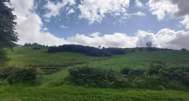
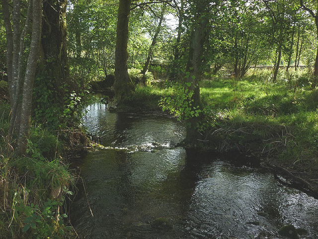
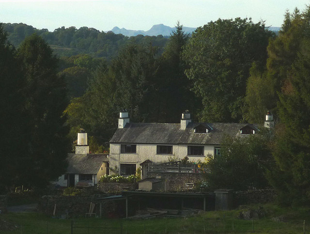
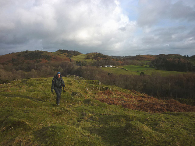
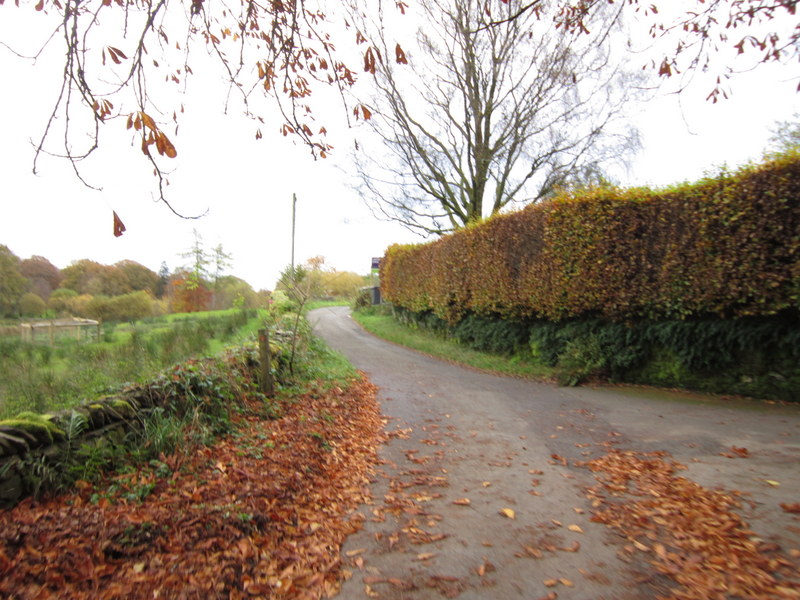
Bow Mabble Wood is a captivating woodland located in the picturesque region of Westmorland, England. Covering a vast area, the wood is renowned for its breathtaking natural beauty and enchanting atmosphere. As part of the larger Bow Mabble Forest, it is a haven for nature enthusiasts and provides a sanctuary for a diverse range of flora and fauna.

The wood features a rich diversity of trees, including oak, beech, and ash, which create a dense canopy that filters the sunlight, casting a magical glow over the forest floor. The forest is also home to various wildflowers, such as bluebells and primroses, which carpet the ground during the spring months, creating a stunning display of colors.

The wood is crisscrossed by a network of well-maintained footpaths, allowing visitors to explore its wonders at their leisure. These trails lead to hidden glades, babbling brooks, and peaceful ponds, offering tranquil spots for relaxation and contemplation.

Wildlife thrives within Bow Mabble Wood, with an array of creatures calling it home. It is not uncommon to spot deer gracefully roaming through the trees, while squirrels dart among the branches and birdsong fills the air. The wood is also a haven for birdwatchers, with species such as woodpeckers and nuthatches making it their habitat.

Bow Mabble Wood is a cherished natural treasure in Westmorland, offering visitors a chance to immerse themselves in the beauty of nature. Whether it is a leisurely stroll, a picnic by the pond, or simply enjoying the tranquility, this woodland is a must-visit destination for those seeking a connection with the natural world.

If you have any feedback on the listing, please let us know in the comments section below.

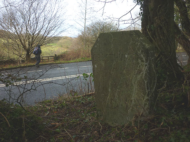
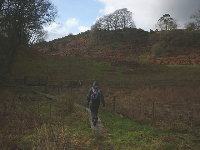
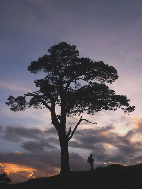
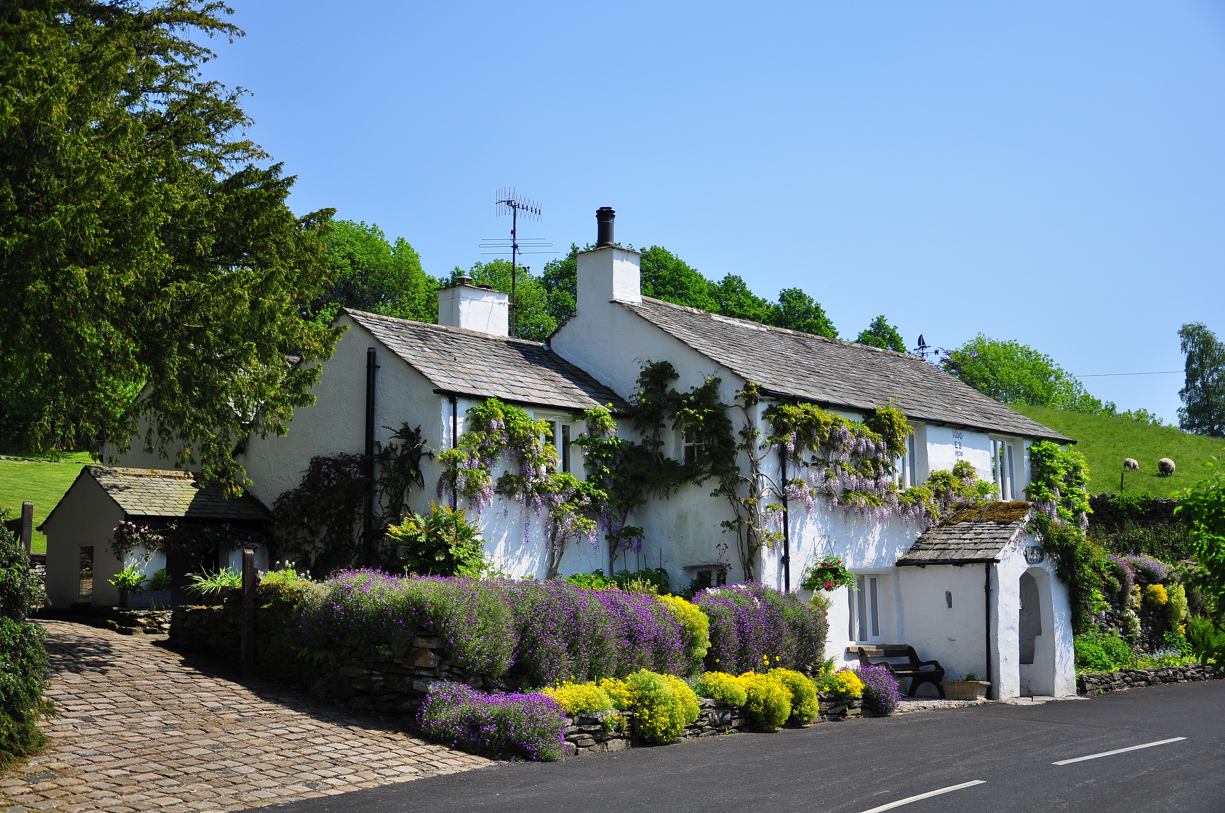
Bow Mabble Wood Images

Images are sourced within 2km of 54.33608/-2.8832888 or Grid Reference SD4293. Thanks to Geograph Open Source API. All images are credited.

Track up Windyhowe Hill
Footpath towards Bryan Houses Plantation
The Brown Horse Public House at Winster
House at Broom Hill
House at Broom Hill
Birk Moss A zoom shot of the cattle and sheep farm from high ground to the south east. The shot shows the contrast between the rolling Silurian slate country near Windermere and the more rugged volcanic rocks of the higher central fells. The Langdale Pikes, particularly, stand out on the skyline.
Birk Moss
A zoom shot of the cattle and sheep farm from high ground to the south east. The shot shows the contrast between the rolling Silurian slate country near Windermere and the more rugged volcanic rocks of the higher central fells. The Langdale Pikes, particularly, stand out on the skyline.
The River Gilpin below Foxhole Bank Viewed from the bridge that carries the access track/footpath.
The River Gilpin below Foxhole Bank
Viewed from the bridge that carries the access track/footpath.
Thornyfields in the Gilpin Valley Typical Lakeland cottages below the steep, wooded bank of Bowmabble Breast. From the heights of Hart Howe it is possible to see the distant Coniston fells beyond.
Thornyfields in the Gilpin Valley
Typical Lakeland cottages below the steep, wooded bank of Bowmabble Breast. From the heights of Hart Howe it is possible to see the distant Coniston fells beyond.
Mossy drystone wall An indicator of the often damp climate up here.
Mossy drystone wall
An indicator of the often damp climate up here.
Birk Moss (2) A zoom shot of the cattle and sheep farm from high ground to the south east. The shot shows the contrast between the rolling Silurian slate country near Windermere and the more rugged volcanic rocks of the higher fells (left to right: Wetherlam, Crinkle Crags, Bow Fell and Great Gable).
Birk Moss (2)
A zoom shot of the cattle and sheep farm from high ground to the south east. The shot shows the contrast between the rolling Silurian slate country near Windermere and the more rugged volcanic rocks of the higher fells (left to right: Wetherlam, Crinkle Crags, Bow Fell and Great Gable).
Greenbank Farm The distinctive outline of the Langdale Pikes on the skyline.
Greenbank Farm
The distinctive outline of the Langdale Pikes on the skyline.
Sheep on Windyhowe Hill On the footpath south of Greenbank Farm.
Sheep on Windyhowe Hill
On the footpath south of Greenbank Farm.
Winter dusk, Winster Valley Watching the colours in the sky as the sun sets behind Gummer's How.
Winter dusk, Winster Valley
Watching the colours in the sky as the sun sets behind Gummer's How.
Hawkearth Bank The bank is a rough, low ridge of Silurian rock rising above the Winster Valley, typical of the countryside east of Windermere. Beyond, is the higher ground of Scott Howe (171m)
Hawkearth Bank
The bank is a rough, low ridge of Silurian rock rising above the Winster Valley, typical of the countryside east of Windermere. Beyond, is the higher ground of Scott Howe (171m)
Parish boundary stone Carved with Crosthwaite and Winster on opposite sides.
Parish boundary stone
Carved with Crosthwaite and Winster on opposite sides.
The footpath to Birks Bridge Due to much recent rainfall, the path is very soft in places, especially crossing Hawkearth Moss where a few duckboards have been placed.
The footpath to Birks Bridge
Due to much recent rainfall, the path is very soft in places, especially crossing Hawkearth Moss where a few duckboards have been placed.
Lonesome pine, Winster Valley Scots pine to be exact. Scots pines are not that common here and this one sits on open ground so is quite prominent. A good place to stand and watch the sky change colour as the sun sets behind Gummer's How.
Lonesome pine, Winster Valley
Scots pine to be exact. Scots pines are not that common here and this one sits on open ground so is quite prominent. A good place to stand and watch the sky change colour as the sun sets behind Gummer's How.
Lonesome pine, Winster Valley (2) Scots pine to be exact. Scots pines are not that common here and this one sits on open ground so is quite prominent. A good place to stand and watch the sky change colour as the sun sets behind Gummer's How.
Lonesome pine, Winster Valley (2)
Scots pine to be exact. Scots pines are not that common here and this one sits on open ground so is quite prominent. A good place to stand and watch the sky change colour as the sun sets behind Gummer's How.
Green Tunnel North of Gilpin Farm Public footpath heading towards the B5284 and Gilpin Farm, surrounded by foliage and vegetation.
Green Tunnel North of Gilpin Farm
Public footpath heading towards the B5284 and Gilpin Farm, surrounded by foliage and vegetation.
Show me another place!

Bow Mabble Wood is located at Grid Ref: SD4293 (Lat: 54.33608, Lng: -2.8832888)

Administrative County: Cumbria

District: South Lakeland

Police Authority: Cumbria

What 3 Words

///strange.cardinal.tango. Near Windermere, Cumbria

Related Wikis

Winster, Cumbria

Winster is a village in the South Lakeland District of Cumbria, in North West England. Historically within the county of Westmorland, it is situated less...

Crosthwaite

Crosthwaite is a small village located in the Parish of Crosthwaite and Lyth, South Lakeland, Cumbria, England. It is in the Lake District National Park...

Cleabarrow

Cleabarrow is a hamlet in Cumbria, England. It gives its name to a small tarn in the area. == References ==

South Lakeland

South Lakeland was a local government district in Cumbria, England, from 1974 to 2023. Its council was based in Kendal. The district covered the southern...

Westmorland and Lonsdale (UK Parliament constituency)

Westmorland and Lonsdale is a constituency in the south of Cumbria, represented in the House of Commons of the UK Parliament since 2005 by Tim Farron,...

Sedbergh Rural District

Sedbergh Rural District was a rural district in the West Riding of Yorkshire in England from 1894 to its abolition in 1974. The district consisted of the...

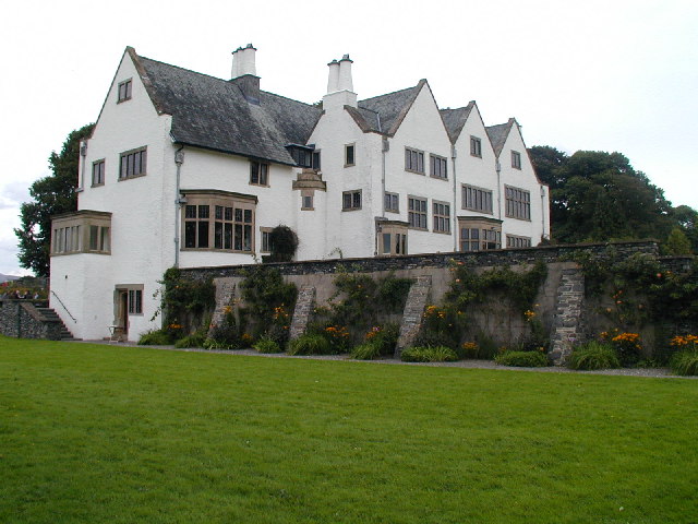
Blackwell (historic house)

Blackwell is a large house in the English Lake District, designed in the Arts and Crafts style by Baillie Scott. It was built in 1898–1900, as a holiday...

Brant Fell

Brant Fell is a hill in the English Lake District, near Bowness-on-Windermere, Cumbria. It is the subject of a chapter of Wainwright's book The Outlying...

Nearby Amenities

Located within 500m of 54.33608,-2.8832888
Batemanfold Allotment
Place: locality
Lat/Long: 54.3402166/-2.8829738
Thornyfields
Place: locality
Lat/Long: 54.3376943/-2.8769239
Bow Mabble Breast
Place: locality
Lat/Long: 54.3364094/-2.8818498
The data included in this document is from www.openstreetmap.org. The data is made available under ODbL.

Have you been to Bow Mabble Wood?

Leave your review of Bow Mabble Wood below (or comments, questions and feedback).