Coed-y-wlad
Settlement in Montgomeryshire
Wales
Coed-y-wlad
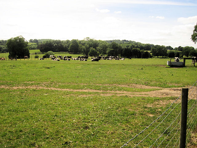
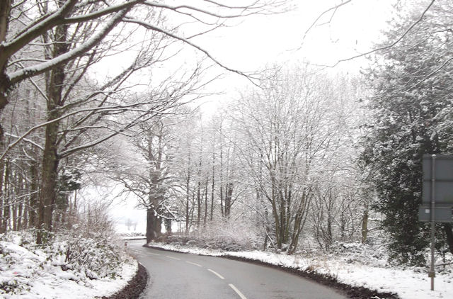
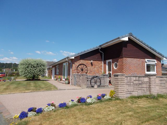
Coed-y-wlad is a small village located in the historic county of Montgomeryshire, Wales. Situated in the picturesque countryside, it is surrounded by rolling hills and lush green landscapes. The village is home to a close-knit community, providing a peaceful and idyllic environment for its residents.
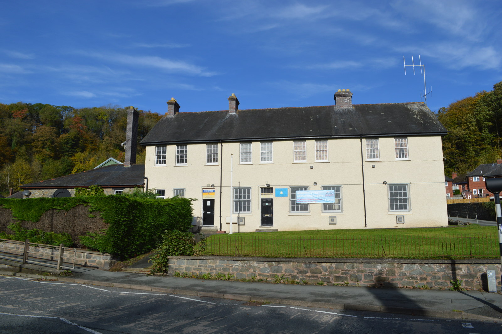
The origins of Coed-y-wlad can be traced back to ancient times, with evidence of human habitation dating back to the Neolithic period. The village has a rich history, with remnants of prehistoric settlements and medieval structures still visible today. It is a popular destination for history enthusiasts and archaeologists who are drawn to its historical significance.
The village offers a range of amenities to its residents, including a local pub, a village hall, and a primary school. The pub serves as a social hub, where locals gather to enjoy a drink and engage in friendly conversations. The village hall hosts various community events and activities, fostering a sense of camaraderie among the residents.
Coed-y-wlad is surrounded by natural beauty, making it a haven for outdoor enthusiasts. The village is located in close proximity to several walking trails and nature reserves, offering residents and visitors opportunities for hiking, birdwatching, and enjoying the scenic surroundings.
Overall, Coed-y-wlad is a charming village that combines its rich history with a tranquil and welcoming atmosphere. Its beautiful countryside, community spirit, and range of amenities make it an ideal place to live or visit for those seeking a peaceful and close-knit community experience.
If you have any feedback on the listing, please let us know in the comments section below.
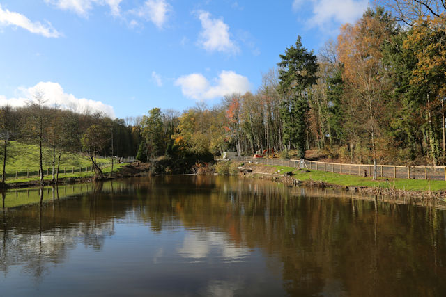
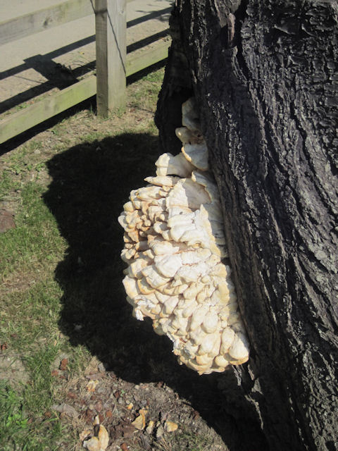
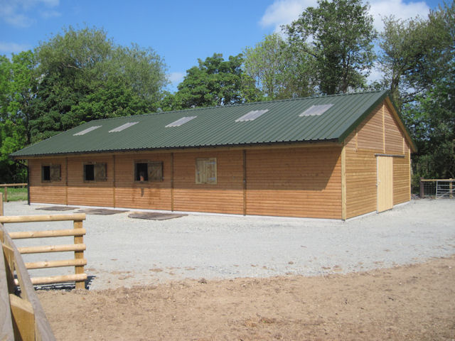
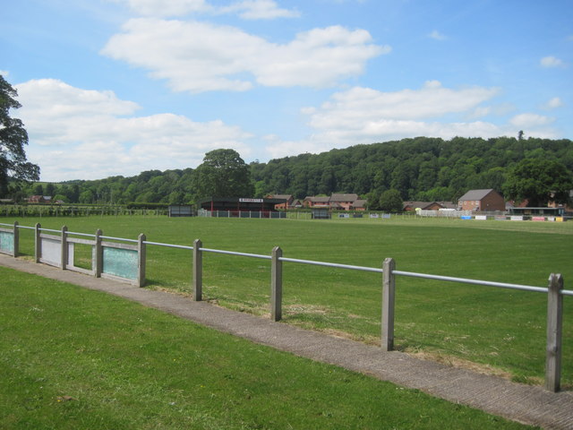
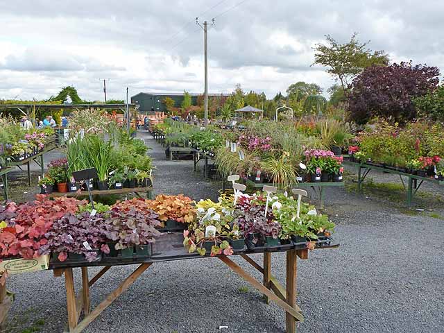
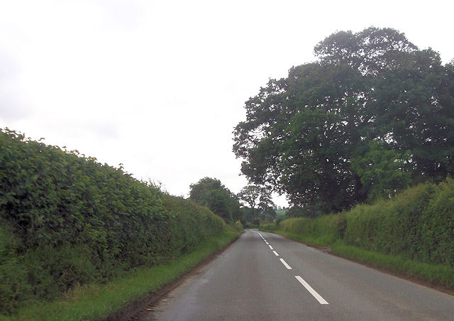
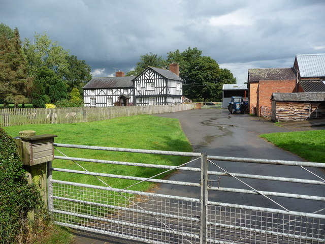
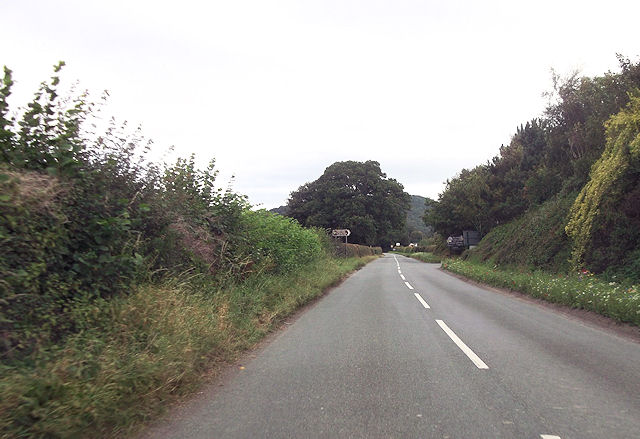
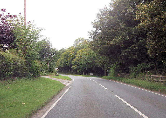
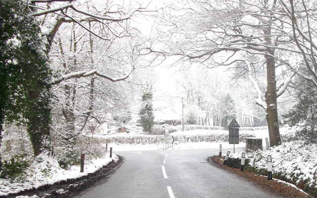
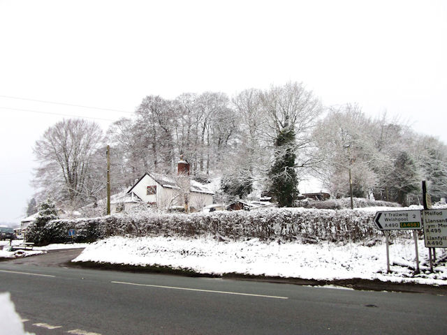
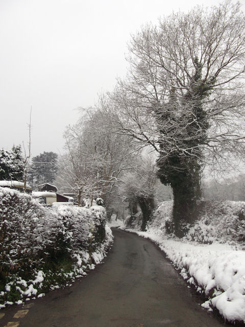
Coed-y-wlad Images
Images are sourced within 2km of 52.675779/-3.1514 or Grid Reference SJ2209. Thanks to Geograph Open Source API. All images are credited.
Coed-y-wlad is located at Grid Ref: SJ2209 (Lat: 52.675779, Lng: -3.1514)
Unitary Authority: Powys
Police Authority: Dyfed Powys
What 3 Words
///thatched.rare.history. Near Welshpool, Powys
Nearby Locations
Related Wikis

Guilsfield
Guilsfield (Welsh: Cegidfa, lit. "Hemlock-field") is a village and local government community in Montgomeryshire, Powys, Wales. It lies beside Guilsfield...

Gungrog
Gungrog is a geographical area which is part of Welshpool (English) Y Trallwng (Welsh), Powys in Wales. It is a stretch of elevated ground which includes...
Welshpool High School
Welshpool High School is located in Welshpool, Powys. It is a combined secondary school and sixth form, catering for pupils aged 11 to 19. In 2022, a new...
Brook Street drill hall, Welshpool
The Brook Street drill hall is a military installation in Welshpool. == History == An armoury was established at Welshpool in the mid-19th century. It...
Nearby Amenities
Located within 500m of 52.675779,-3.1514Have you been to Coed-y-wlad?
Leave your review of Coed-y-wlad below (or comments, questions and feedback).