Cwm Caethro
Valley in Montgomeryshire
Wales
Cwm Caethro
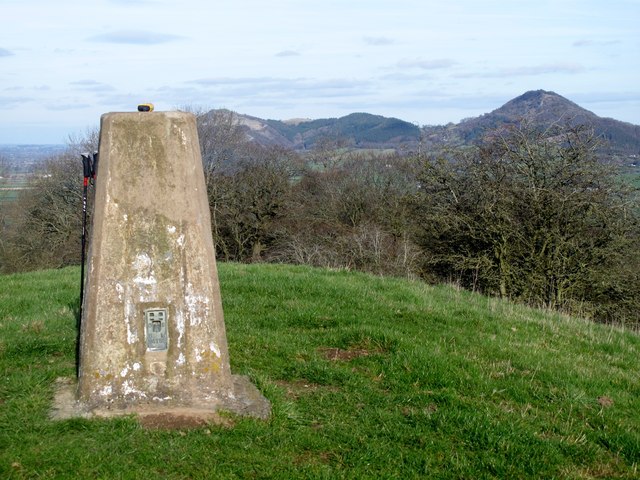
Cwm Caethro is a picturesque valley located in the county of Montgomeryshire, in Wales, United Kingdom. Situated in the heart of rural Wales, the valley is surrounded by rolling hills and offers stunning panoramic views of the Welsh countryside.
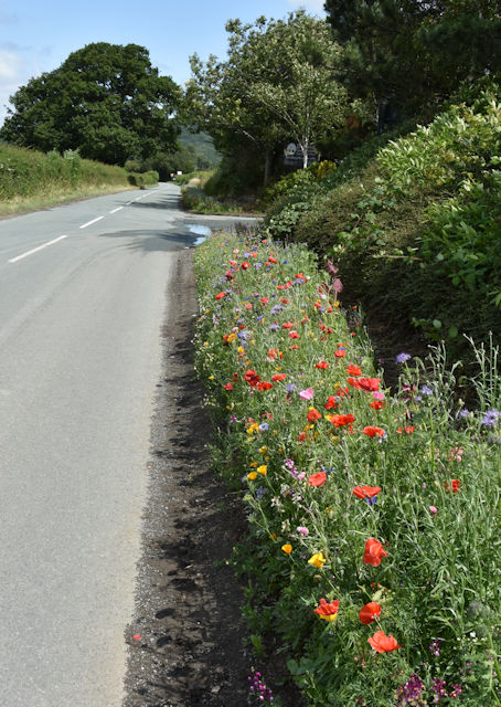
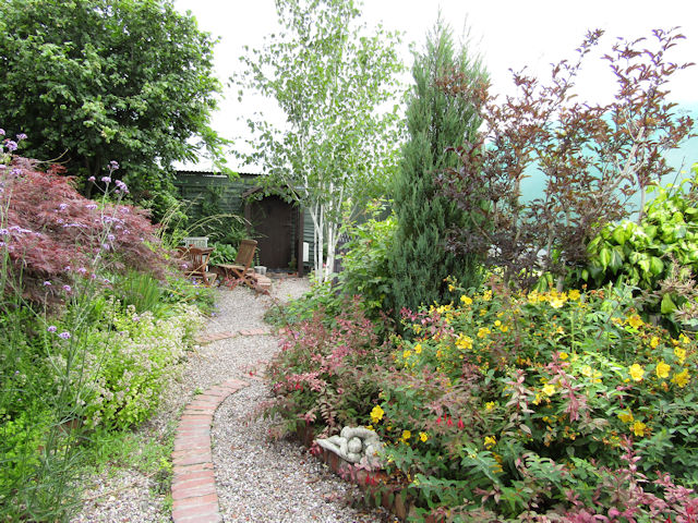
The valley is renowned for its natural beauty, with lush green fields, meandering streams, and abundant wildlife. It is a haven for outdoor enthusiasts, with numerous walking and hiking trails that allow visitors to explore the unspoiled landscapes and discover hidden gems along the way.
Cwm Caethro is also home to several historical landmarks and attractions. One of the notable sites is the Caethro Hillfort, an ancient fortification that dates back to the Iron Age. The hillfort offers a glimpse into the region's rich history and provides visitors with an opportunity to learn about the ancient civilizations that once thrived in the area.
The valley is also a popular destination for birdwatching, as it is home to a diverse range of bird species. Birdwatchers can spot various species, including red kites, buzzards, and peregrine falcons, among others.
In addition to its natural and historical attractions, Cwm Caethro is a close-knit community with a friendly and welcoming atmosphere. It offers a range of amenities, including accommodation options, local shops, and charming country pubs where visitors can enjoy traditional Welsh cuisine.
Overall, Cwm Caethro is a hidden gem in the heart of Montgomeryshire, offering visitors a chance to immerse themselves in the tranquility of the Welsh countryside and experience the rich history and natural beauty that the valley has to offer.
If you have any feedback on the listing, please let us know in the comments section below.
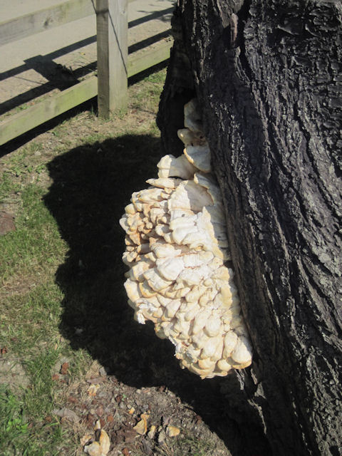
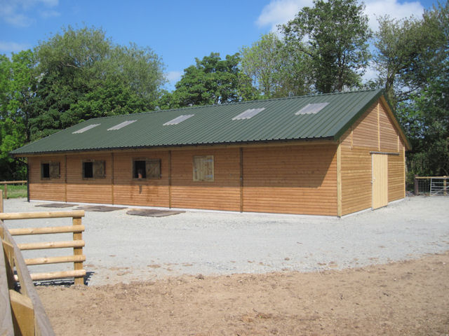
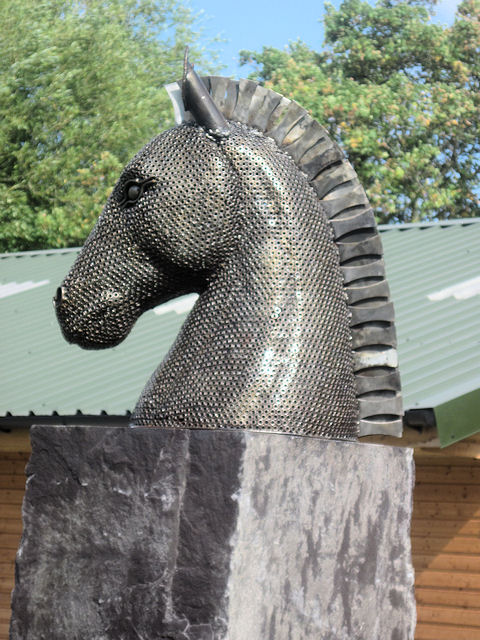
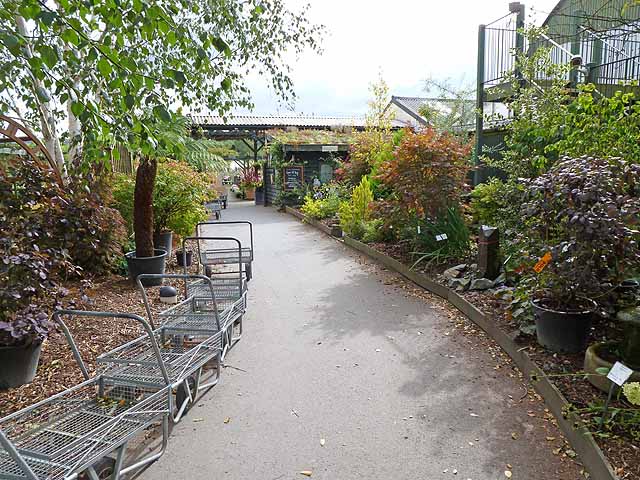
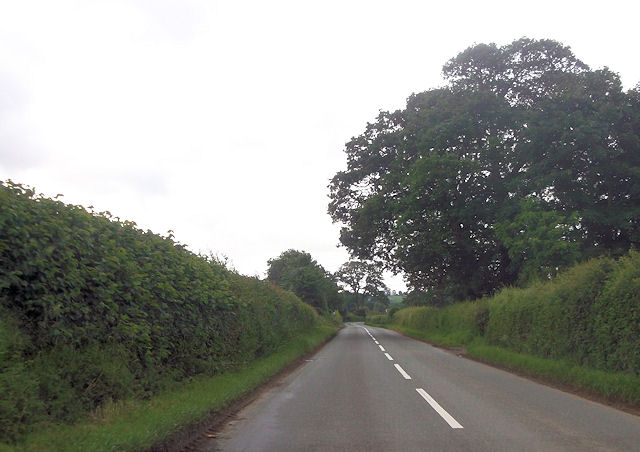
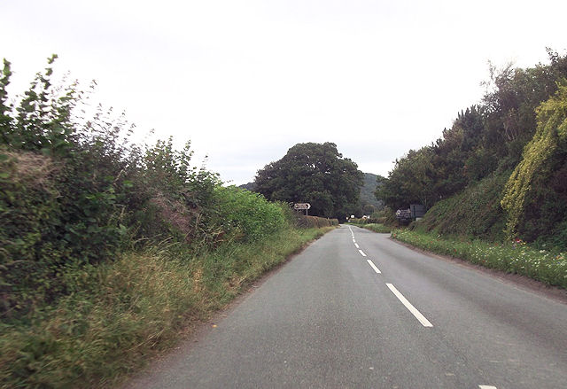
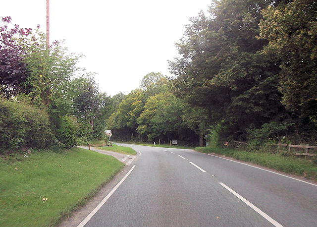
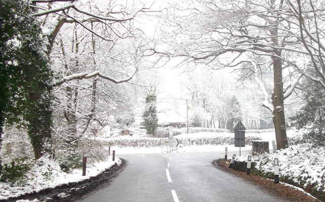
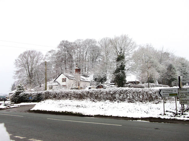
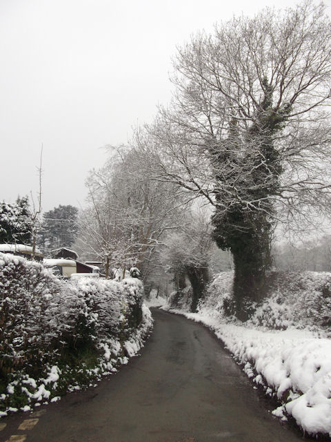
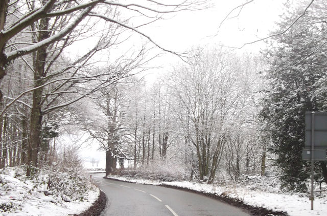
Cwm Caethro Images
Images are sourced within 2km of 52.674581/-3.1409816 or Grid Reference SJ2209. Thanks to Geograph Open Source API. All images are credited.


Cwm Caethro is located at Grid Ref: SJ2209 (Lat: 52.674581, Lng: -3.1409816)
Unitary Authority: Powys
Police Authority: Dyfed Powys
What 3 Words
///braced.amplified.former. Near Welshpool, Powys
Nearby Locations
Related Wikis

Gungrog
Gungrog is a geographical area which is part of Welshpool (English) Y Trallwng (Welsh), Powys in Wales. It is a stretch of elevated ground which includes...
Welshpool High School
Welshpool High School is located in Welshpool, Powys. It is a combined secondary school and sixth form, catering for pupils aged 11 to 19. In 2022, a new...

Guilsfield
Guilsfield (Welsh: Cegidfa, lit. "Hemlock-field") is a village and local government community in Montgomeryshire, Powys, Wales. It lies beside Guilsfield...
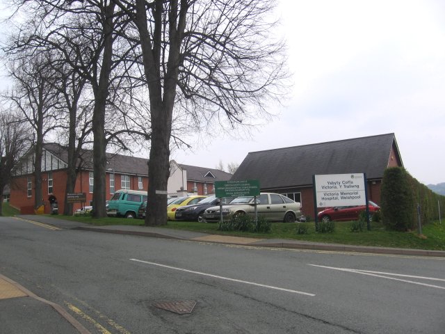
Victoria Memorial Hospital
The Victoria Memorial Hospital (Welsh: Ysbyty Coffa Victoria) is a health facility in Salop Road, Welshpool, Powys, Wales. It is managed by the Powys Teaching...
Nearby Amenities
Located within 500m of 52.674581,-3.1409816Have you been to Cwm Caethro?
Leave your review of Cwm Caethro below (or comments, questions and feedback).