Coed-yr-ynys
Settlement in Brecknockshire
Wales
Coed-yr-ynys
Coed-yr-ynys is a small village located in Brecknockshire, a historic county in Wales, United Kingdom. Situated in the heart of the Brecon Beacons National Park, the village is surrounded by picturesque landscapes and offers a tranquil escape from the bustling city life.
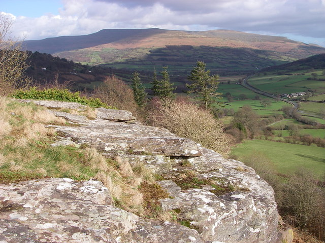
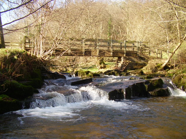
The name Coed-yr-ynys translates to "wood of the island" in Welsh, reflecting the area's rich natural beauty. The village is known for its dense woodlands, rolling hills, and pristine rivers, making it a popular destination for outdoor enthusiasts and nature lovers.
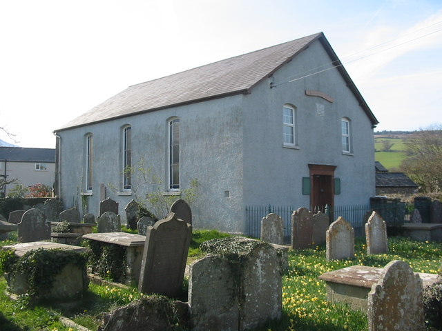
Despite its small size, Coed-yr-ynys boasts a close-knit community that takes pride in preserving the village's heritage and charm. Traditional stone cottages dot the landscape, giving the area a timeless and idyllic feel. The village also has a quaint church, which serves as a focal point for the community.
Coed-yr-ynys is a haven for hikers and walkers, with numerous trails and footpaths that offer breathtaking views of the surrounding mountains and valleys. The nearby Taff Trail, a long-distance footpath, passes through the village, attracting visitors from far and wide.
In terms of amenities, Coed-yr-ynys has a small village shop that caters to the needs of the local residents. For more extensive services, the town of Brecon is a short drive away, offering a wider range of shops, restaurants, and leisure facilities.
Overall, Coed-yr-ynys is a charming village that provides a peaceful and scenic retreat for those seeking a break from urban life. With its natural beauty and strong sense of community, it is a hidden gem within the Brecon Beacons National Park.
If you have any feedback on the listing, please let us know in the comments section below.
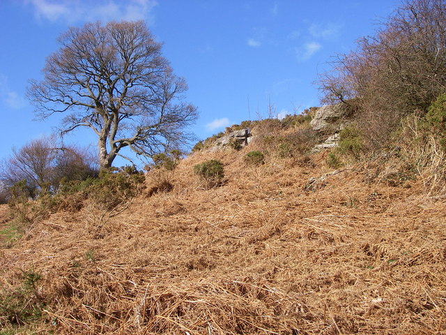
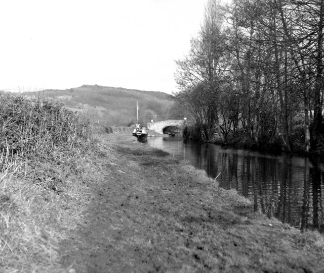
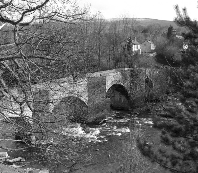
Coed-yr-ynys Images
Images are sourced within 2km of 51.872954/-3.233916 or Grid Reference SO1520. Thanks to Geograph Open Source API. All images are credited.


Coed-yr-ynys is located at Grid Ref: SO1520 (Lat: 51.872954, Lng: -3.233916)
Unitary Authority: Powys
Police Authority: Dyfed Powys
What 3 Words
///polka.craters.cargo. Near Llangynidr, Powys
Nearby Locations
Related Wikis
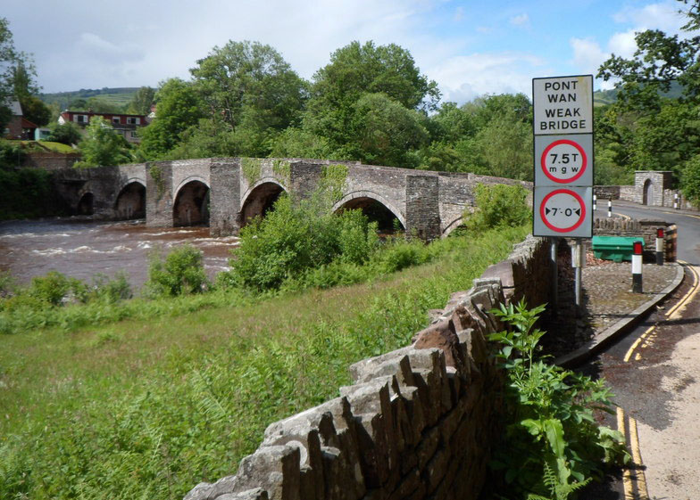
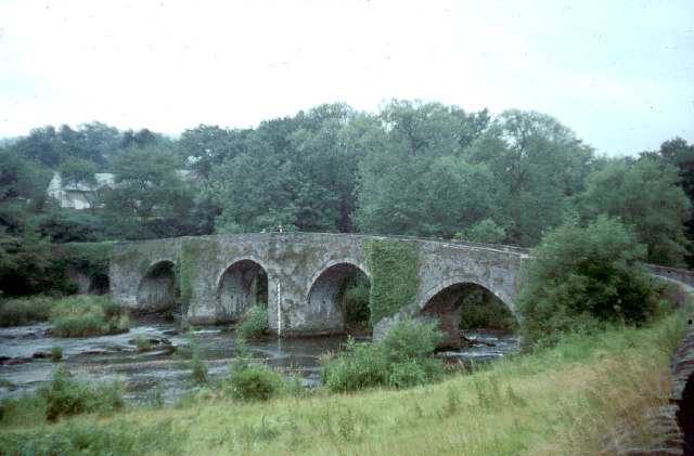
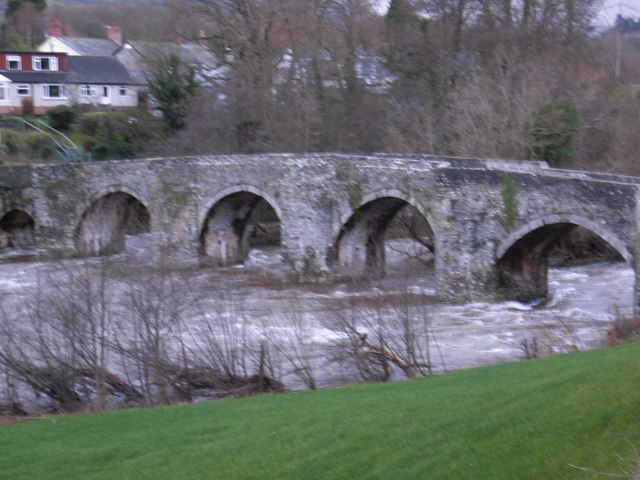
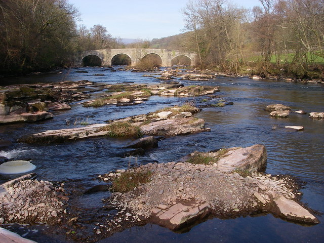
Llangynidr Bridge
Llangynidr Bridge, also known as "Coed-yr-Ynys Bridge", is an early 18th-century bridge that crosses the River Usk to the north of Llangynidr, Powys, Wales...
Afon Crawnon
The Afon Crawnon is a river in the Brecon Beacons National Park in the county of Powys, Wales. The headwaters rise on the hills north of Trefil and flow...

Llangynidr
Llangynidr is a village, community and electoral ward in Powys, Wales, about 4 miles (6.4 km) west of Crickhowell and 9 miles (14.5 km) south-east of Brecon...

Llygadwy
Llygadwy is a locality near the village of Bwlch in the county of Powys in southeast Wales. The usual meaning of llygad in Welsh is 'eye' but it can signify...
Nearby Amenities
Located within 500m of 51.872954,-3.233916Have you been to Coed-yr-ynys?
Leave your review of Coed-yr-ynys below (or comments, questions and feedback).