Aldershort Copse

Wood, Forest in Somerset South Somerset

England

Aldershort Copse

Ford near Hewish Sometimes referred to as an 'Irish Ford', the stream is piped and only covers the road after heavy rain.
Ford near Hewish Credit: Adrian Taylor

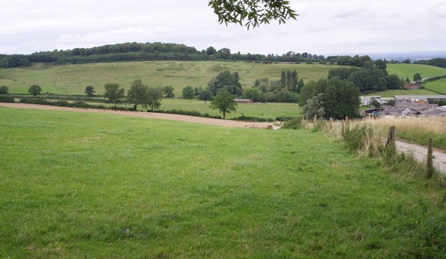
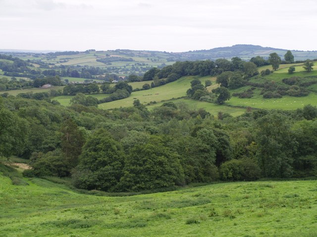
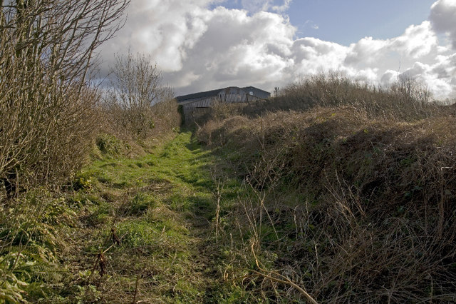
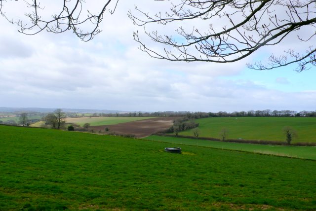
Aldershort Copse is a picturesque woodland located in Somerset, England. Covering an area of approximately 50 acres, it is a haven for nature enthusiasts and a popular destination for local residents and visitors alike. The copse is situated on the outskirts of a small village, nestled between rolling hills and meandering streams.

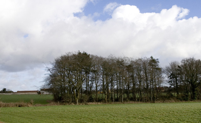
The woodland is predominantly comprised of alder trees, which lend the copse its name. These trees create a dense canopy, casting dappled sunlight onto the forest floor. The thick undergrowth of ferns, bluebells, and wildflowers adds to the enchanting atmosphere of the copse, particularly in the spring when the forest comes alive with vibrant colors.

Aldershort Copse is home to a diverse range of wildlife. Birdwatchers can spot various species, including woodpeckers, robins, and thrushes, while the patient observer might even be lucky enough to catch a glimpse of a shy deer or a fox. The copse is also a habitat for numerous insects, such as butterflies and dragonflies.

The woodland is crisscrossed with footpaths, allowing visitors to explore its beauty at their own pace. These paths guide visitors through the copse, providing opportunities for peaceful walks, jogging, or simply enjoying the tranquility of nature. The copse is open to the public throughout the year, offering a different experience in each season, from the lush greenery of summer to the striking autumn colors.

Aldershort Copse is not only a place of natural beauty but also an important part of the local ecosystem. Its conservation is carefully managed to preserve its unique characteristics and ensure its continued role as a sanctuary for wildlife.

If you have any feedback on the listing, please let us know in the comments section below.

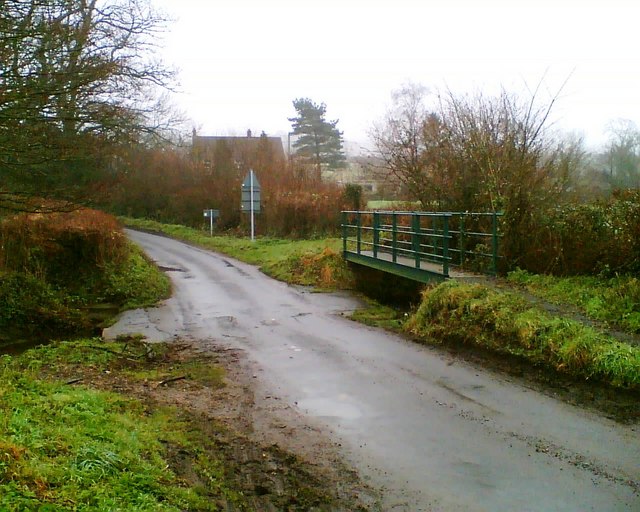
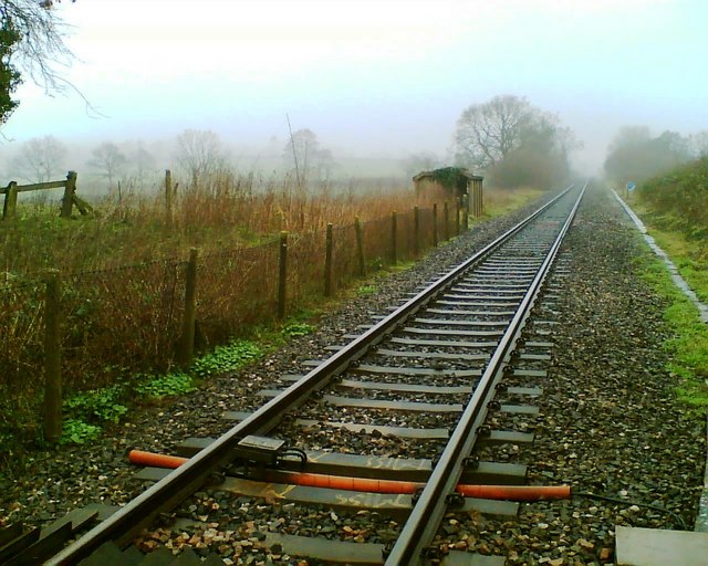
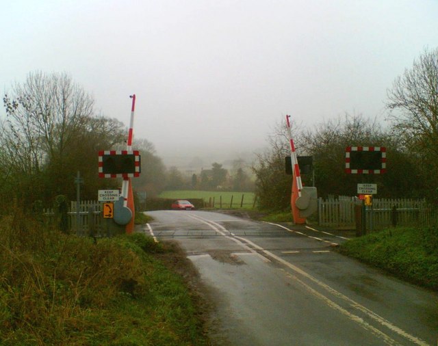
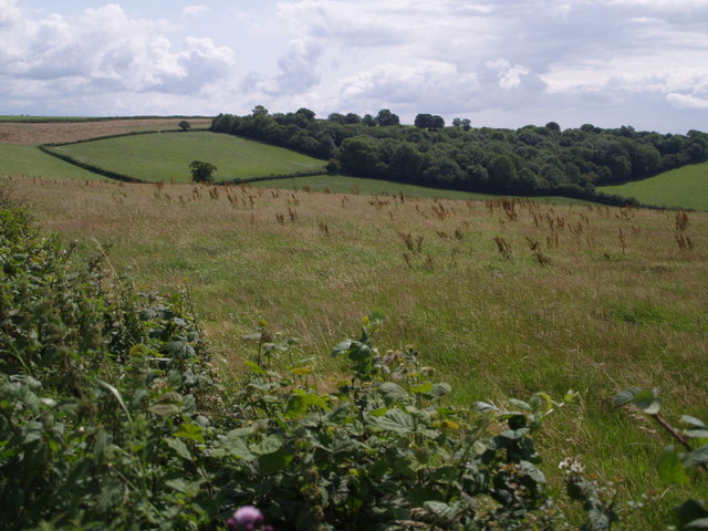
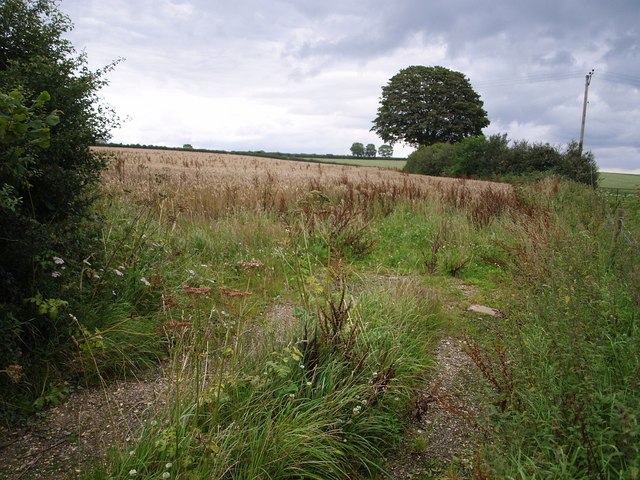
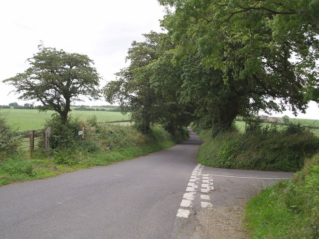
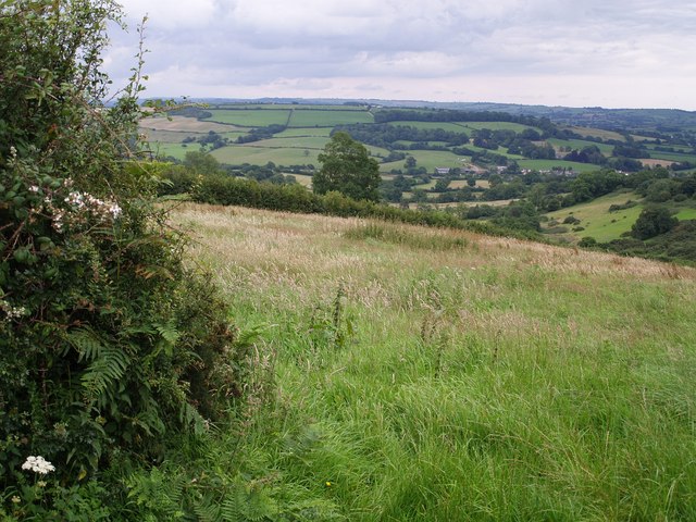
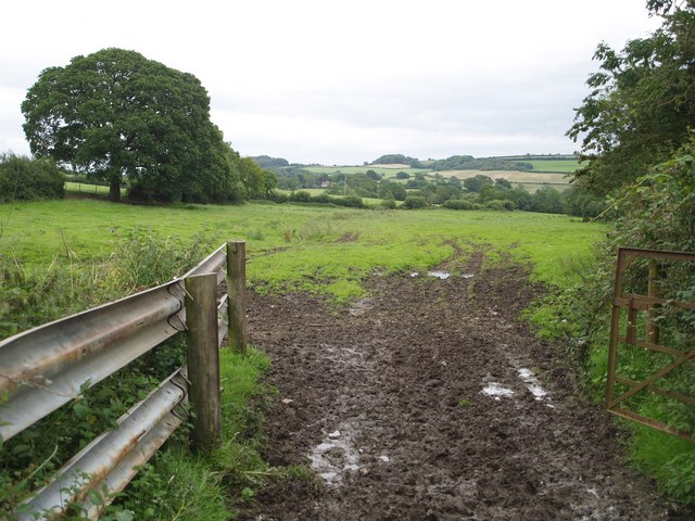
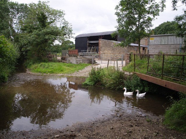
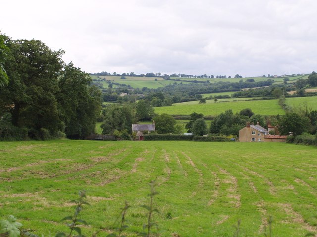
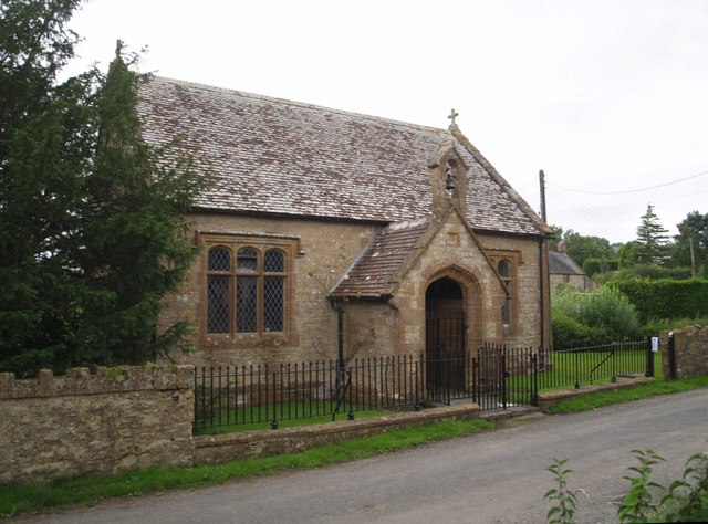
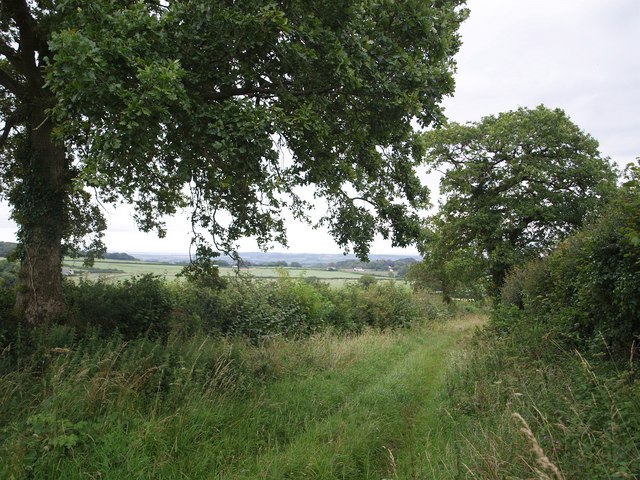
Aldershort Copse Images

Images are sourced within 2km of 50.874169/-2.8398768 or Grid Reference ST4108. Thanks to Geograph Open Source API. All images are credited.

Ford near Hewish Sometimes referred to as an 'Irish Ford', the stream is piped and only covers the road after heavy rain.
Ford near Hewish
Sometimes referred to as an 'Irish Ford', the stream is piped and only covers the road after heavy rain.
Railway Formerly the main line of the London and South Western Railway, this route has declined in importance and now only supports an infrequent passenger service.
Railway
Formerly the main line of the London and South Western Railway, this route has declined in importance and now only supports an infrequent passenger service.
Hewish Crossing
Hewish Crossing
Eighteen Acre Plantation The plantation, at the head of the Cricket St Thomas valley on the Windwhistle ridge, is actually not as extensive as appears from the photo; the upper part at the back is an open field surrounded by a hedge of trees, as can be seen from the satellite views. Taken from a layby on the A30.
Eighteen Acre Plantation
The plantation, at the head of the Cricket St Thomas valley on the Windwhistle ridge, is actually not as extensive as appears from the photo; the upper part at the back is an open field surrounded by a hedge of trees, as can be seen from the satellite views. Taken from a layby on the A30.
Field near Hill Barn Farm Taken from the lane between Winsham and the A30 on St Rayn Hill, looking along the line of a field boundary, with scattered hedgerow trees on chalk upland.
Field near Hill Barn Farm
Taken from the lane between Winsham and the A30 on St Rayn Hill, looking along the line of a field boundary, with scattered hedgerow trees on chalk upland.
Lane junction above Purtington The main lane from Winsham is heading up to join the A30 at a high point on the Windwhistle Ridge. The lane to the right twists back southwards to descend towards the Axe valley.
Lane junction above Purtington
The main lane from Winsham is heading up to join the A30 at a high point on the Windwhistle Ridge. The lane to the right twists back southwards to descend towards the Axe valley.
View from Staker's Cross Hill The short valley on the right cuts deeply into the ridge above Woolminstone. In the main valley bottom, and out of square, is Clapton. Seen from the lane which drops increasingly steeply from Staker's Cross to Woolminstone.
View from Staker's Cross Hill
The short valley on the right cuts deeply into the ridge above Woolminstone. In the main valley bottom, and out of square, is Clapton. Seen from the lane which drops increasingly steeply from Staker's Cross to Woolminstone.
Field near Woolminstone Footpath CH27/13 crosses this long narrow field, connecting the lane between Woolminstone and Hewish with Hewish Mill. A small stream, hard to detect in the image, runs down the centre a few yards to the left.
Field near Woolminstone
Footpath CH27/13 crosses this long narrow field, connecting the lane between Woolminstone and Hewish with Hewish Mill. A small stream, hard to detect in the image, runs down the centre a few yards to the left.
Ford at Hewish Mill Farm Geese beneath the footbridge beside this ford on Watery Lane, with the farm buildings beyond. The former millhouse and millpond are out of sight to the right, near the railway. The mill's chequered history is described at <span class="nowrap"><a title="http://webapp1.somerset.gov.uk/her/details.asp?prn=54677" rel="nofollow ugc noopener" href="http://webapp1.somerset.gov.uk/her/details.asp?prn=54677">Link</a><img style="margin-left:2px;" alt="External link" title="External link - shift click to open in new window" src="https://s1.geograph.org.uk/img/external.png" width="10" height="10"/></span> . The stream is a tributary of the River Axe.
Ford at Hewish Mill Farm
Geese beneath the footbridge beside this ford on Watery Lane, with the farm buildings beyond. The former millhouse and millpond are out of sight to the right, near the railway. The mill's chequered history is described at LinkExternal link . The stream is a tributary of the River Axe.
Lower Hewish Seen across a field from the B3165 (Clapton Road), these cottages are on Watery Lane. The right-hand cottage is built across the gridline.
Lower Hewish
Seen across a field from the B3165 (Clapton Road), these cottages are on Watery Lane. The right-hand cottage is built across the gridline.
Church of the Good Shepherd, Hewish With its Ham stone mullioned windows, this little late C19 chapel of ease (in the parish of West Crewkerne) on Watery Lane manages to convey a medieval air. <span class="nowrap"><a title="http://webapp1.somerset.gov.uk/her/details.asp?prn=59153" rel="nofollow ugc noopener" href="http://webapp1.somerset.gov.uk/her/details.asp?prn=59153">Link</a><img style="margin-left:2px;" alt="External link" title="External link - shift click to open in new window" src="https://s1.geograph.org.uk/img/external.png" width="10" height="10"/></span>
Church of the Good Shepherd, Hewish
With its Ham stone mullioned windows, this little late C19 chapel of ease (in the parish of West Crewkerne) on Watery Lane manages to convey a medieval air. LinkExternal link
Venley Lane This pleasant hedged track, with oaks every few yards, carries footpath CH27/27 down from a ridge south of St Rayn Hill towards Crewkerne.
Venley Lane
This pleasant hedged track, with oaks every few yards, carries footpath CH27/27 down from a ridge south of St Rayn Hill towards Crewkerne.
Coombe The right hand part of the large farm is in ST4109. The history is outlined at <span class="nowrap"><a title="http://webapp1.somerset.gov.uk/her/details.asp?prn=54694" rel="nofollow ugc noopener" href="http://webapp1.somerset.gov.uk/her/details.asp?prn=54694">Link</a><img style="margin-left:2px;" alt="External link" title="External link - shift click to open in new window" src="https://s1.geograph.org.uk/img/external.png" width="10" height="10"/></span> , which describes it as a deserted medieval village. Certainly the slopes of St Rayn Hill, beyond, appear to show signs of human activity. Along the edge of the wood at the top runs the A30.
Coombe
The right hand part of the large farm is in ST4109. The history is outlined at LinkExternal link , which describes it as a deserted medieval village. Certainly the slopes of St Rayn Hill, beyond, appear to show signs of human activity. Along the edge of the wood at the top runs the A30.
Valley above Woolminstone The combe containing Blackmoor Wood (in the foreground) and Blackmore Farm (hidden behind the wood - and spelt differently on the maps) as seen from footpath CH27/12.
Valley above Woolminstone
The combe containing Blackmoor Wood (in the foreground) and Blackmore Farm (hidden behind the wood - and spelt differently on the maps) as seen from footpath CH27/12.
Road Junction at Roundham, Crewkerne, Somerset The unclassified road known as Cathole Bridge Road running from Misterton round the southern edge of Crewkerne joins the A30 from Crewkerne to Chard at this junction just west of Crewkwerne.
Road Junction at Roundham, Crewkerne, Somerset
The unclassified road known as Cathole Bridge Road running from Misterton round the southern edge of Crewkerne joins the A30 from Crewkerne to Chard at this junction just west of Crewkwerne.
Roundham,  copse South of Travellers' Rest Inn This scene seems to embody the rural idyll but road noise from the A30 is loud and continuous.
Roundham, copse South of Travellers' Rest Inn
This scene seems to embody the rural idyll but road noise from the A30 is loud and continuous.
Brightwell Farm, footpath leading to Cathole Lane. The "farm" buildings in the background are home to a factory producing plastic mouldings.
Brightwell Farm, footpath leading to Cathole Lane.
The "farm" buildings in the background are home to a factory producing plastic mouldings.
Countryside at Greencoombe Farm View north west across the square just south of the farm from the road that runs north from Winsham.
Countryside at Greencoombe Farm
View north west across the square just south of the farm from the road that runs north from Winsham.
Show me another place!

Aldershort Copse is located at Grid Ref: ST4108 (Lat: 50.874169, Lng: -2.8398768)

Administrative County: Somerset

District: South Somerset

Police Authority: Avon and Somerset

What 3 Words

///pedicure.harnessed.tailed. Near Crewkerne, Somerset

Related Wikis

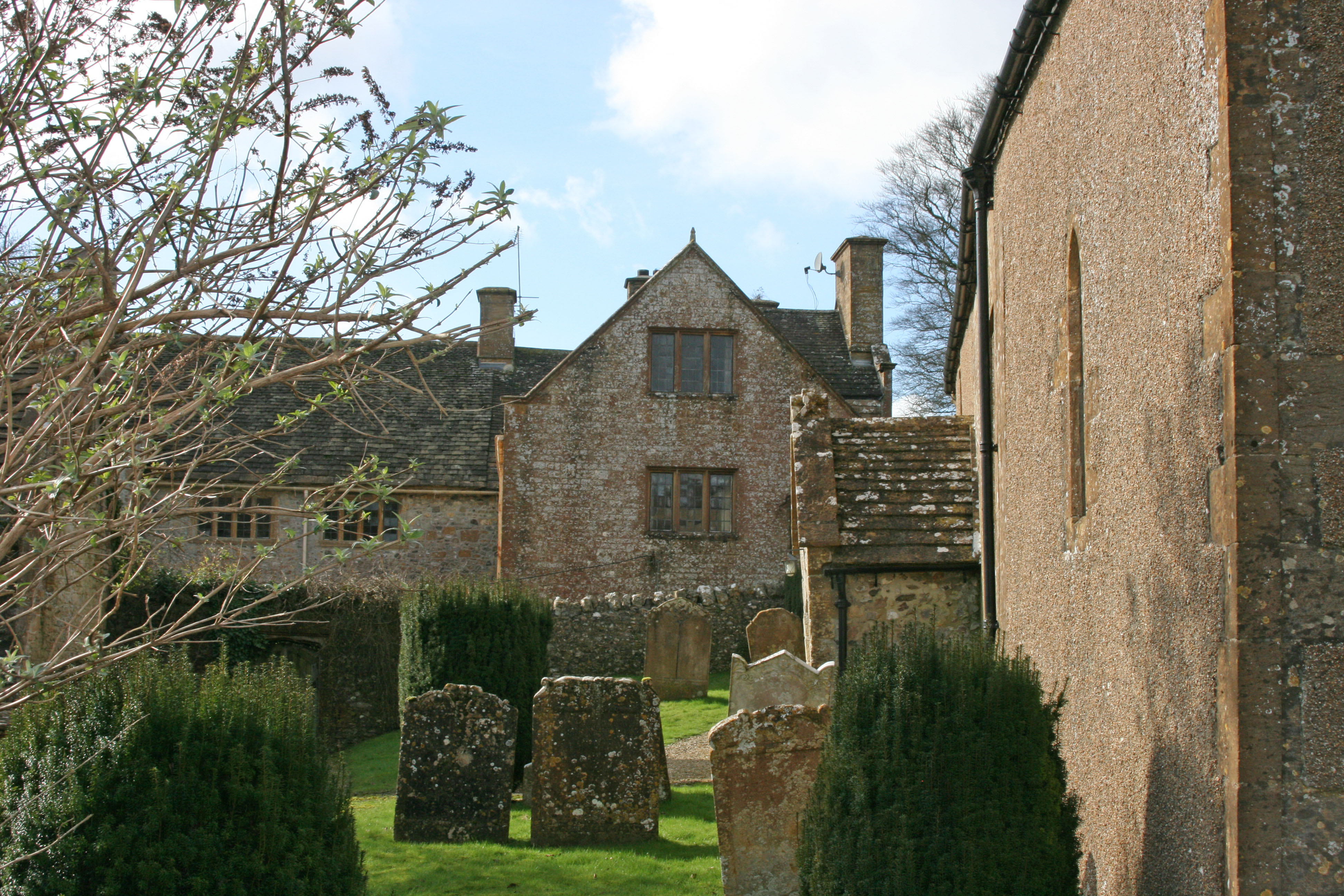
Church of St Michael, Wayford

The Anglican Church of St Michael in Wayford, Somerset, England was built in the 13th century. It is a Grade II* listed building. == History == The church...
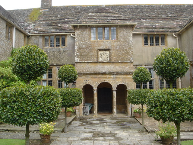
Wayford Manor House

Wayford Manor House is a country house with a garden in Britain, situated in Wayford, Somerset, England. It has been designated a Grade I listed building...

Wayford

Wayford is a village and civil parish on the River Axe, 3 miles (5 km) south-west of Crewkerne, in the South Somerset district of Somerset, England....

Clapton Mill

Clapton Mill is a former watermill located in the hamlet of Clapton, West Crewkerne, Somerset, England. The existing mill dates back to the 18th century...

Crewkerne Castle

Crewkerne Castle (which is also known as Castle Hill or Croft Castle) was possibly a Norman motte and bailey castle on a mound that is situated north-west...

St Bartholomew's Church, Crewkerne

The Church of St Bartholomew in Crewkerne, Somerset, England dates from the 15th century and has been designated as a Grade I listed building.St Bartholomew...

Chillington, Somerset

Chillington is a village and parish in Somerset, England, situated 3 miles (5 km) west of Crewkerne and 5 miles (8 km) east of Chard in the South Somerset...

Crewkerne Grammar School

Crewkerne Grammar School was a grammar school in the town of Crewkerne in the English county of Somerset. == History == The school was founded in 1499...

Nearby Amenities

Located within 500m of 50.874169,-2.8398768
The data included in this document is from www.openstreetmap.org. The data is made available under ODbL.

Have you been to Aldershort Copse?

Leave your review of Aldershort Copse below (or comments, questions and feedback).